The canyons of Val Gargassa
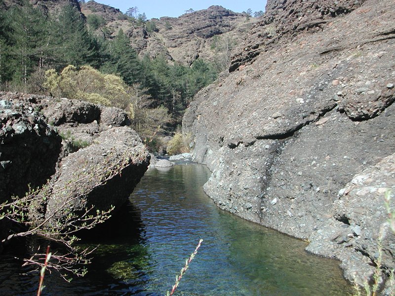
The best way to appreciate the features of this valley is to follow the Nature Trail by foot (approximately 3 hours to and back) which starts from the Rossiglione sports field that you can reach by following the SP 1 in a northerly direction, at the 2-kilometre point. From this point you can see how the Torrente Gargassa deeply carved the brown-coloured sedimentary rock (conglomerates and breccias) accumulated here during the Oligocene epoch as part of the Tertiary Piedmont Basin (TPB).
From the lay-by you can see the different forms of the ridges in relation to the various types of rock contained therein. The conglomerate ridges are generally characterised by very steep walls created due to systems of sub-vertical fractures, while the serpentinised lherzolites steep slopes are formed with numerous outcrops and very little soil. The ridges formed by serpentine schists have relatively well-developed soil where mixed forests grow with rare rocky outcrops. The ridges made up of calcareous schists, on the other hand, can be identified by their hill-like form, gentle slopes, and dense mixed forests on considerable soil that rarely exposes the underlying rock.