

Doglio - Titignano
- Trail Conditions: On foot
- Interest: Flora, Panorama
- Departure: Doglio
- Arrival: Titignano
- Duration: 3 hour/s 30 minutes
- Difficulty Level: E - Hiking (level)
- Length: 10.4 km
This section starts in Doglio. Leave the hamlet on the unsurfaced road, then on the uphill mule-track leading to Poggio Lipparoni. The cart-road on the right will lead you to the Costa – or "slope" - di Morecciole, where the road becomes asphalted again; after about 1 km it will join the national road SS79bis. After a short walk on the national road, walk along the crest of M. Castellaccio, then go downhill to another asphalted road. Take the first cart-road on the right: after 2 km it will lead you to Titignano, charming 10th century hamlet which owes its current aspect to modifications occurred in the 17th century. At the junction, you may also turn right to take again the previous asphalted road and follow the Great Orvietano Trail.
 Download Doglio-Titignano (PDF - 2Mb)
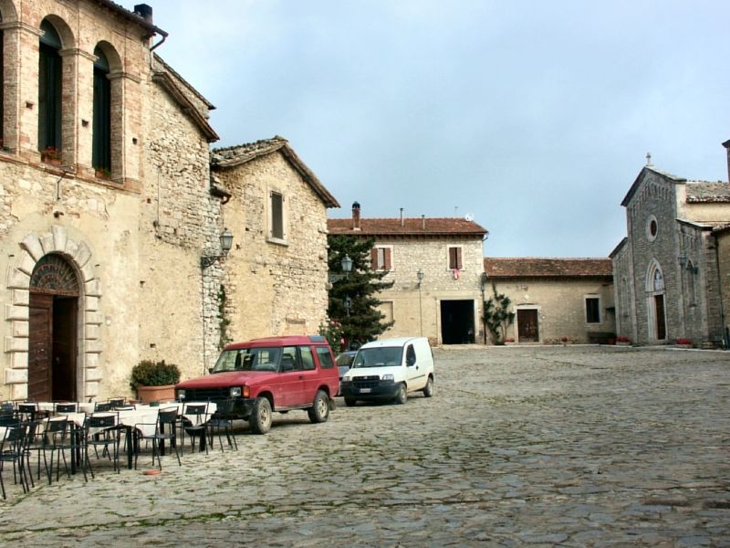
Titignano
 Download KMZ
 Download in GPX format
Protected Area(7.295,00 ha)

Lay-out of the itinerary

Departure

Arrival

Park Authority Offices (3)

Visitor Centers (10)

Municipalities (7)

Photos (29)

EV charge ≥100kW (286)


© 2024 - Regione Umbria