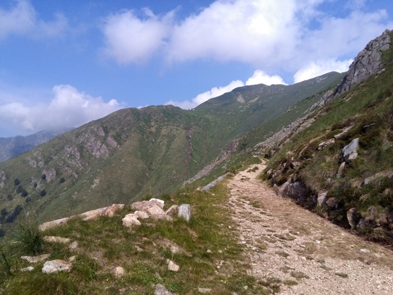
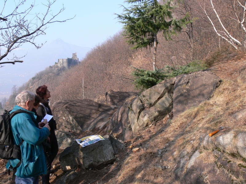
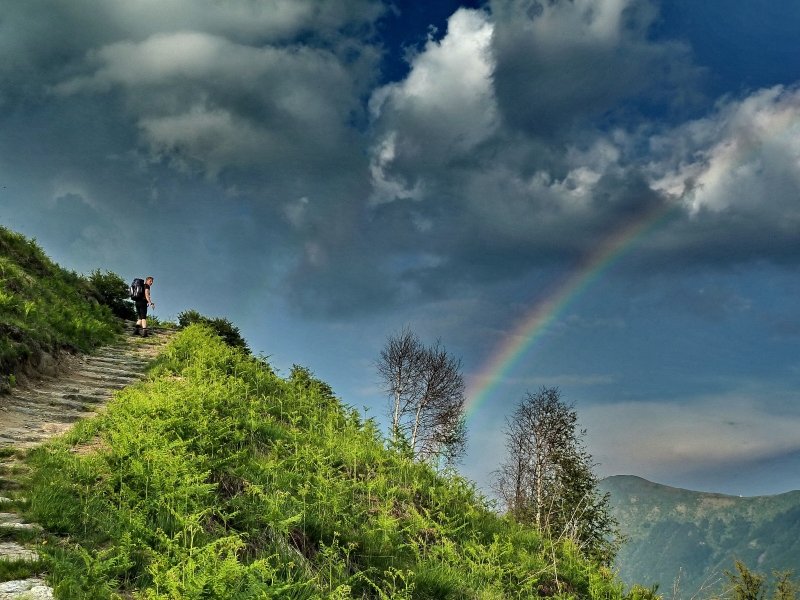
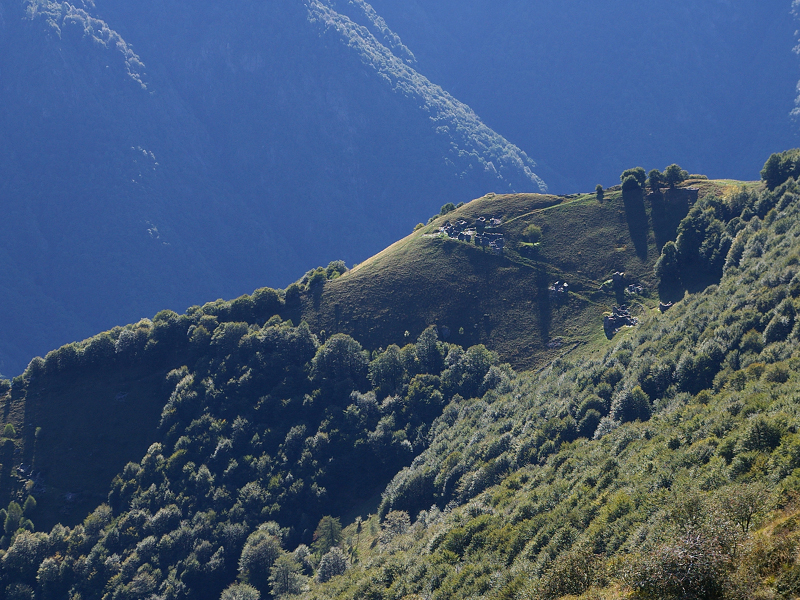
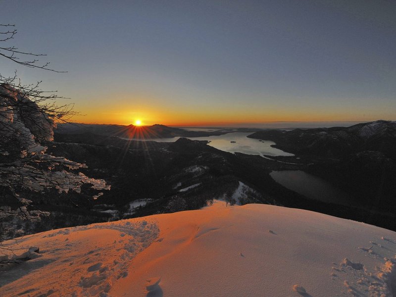
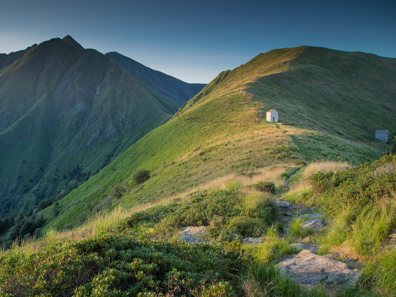
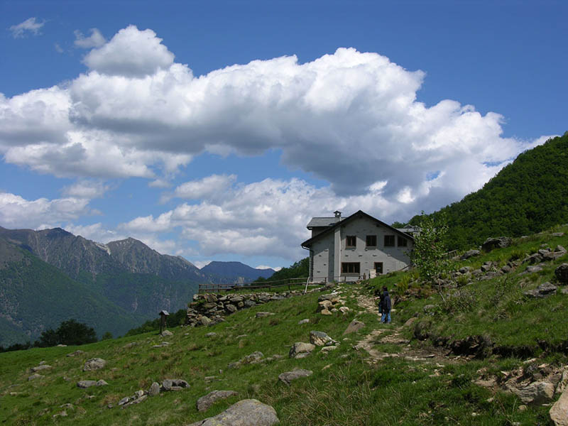
Itineraries
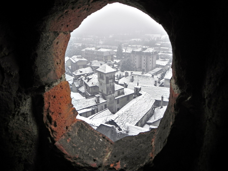
Since the Park is a wilderness and inaccessible area, it is necessary to follow the trails - some of which are difficult, dangerous, and not yet marked - carefully and together with expert tour guides (the Park Official Tour Guides, the Alpine Guides, and qualified naturalistic tour guides), above all for the visitors who do not know the valley very well.
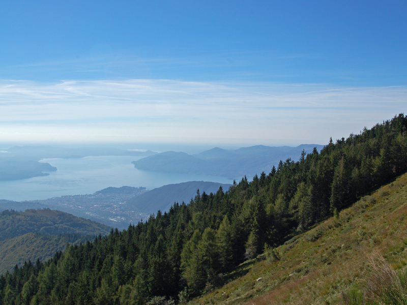
The Park Nature Trails
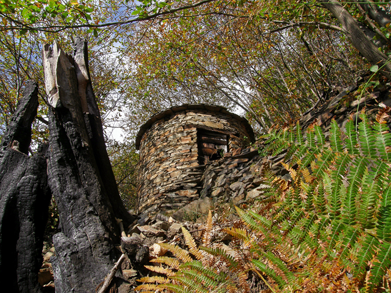
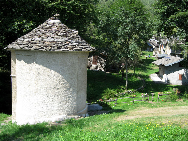
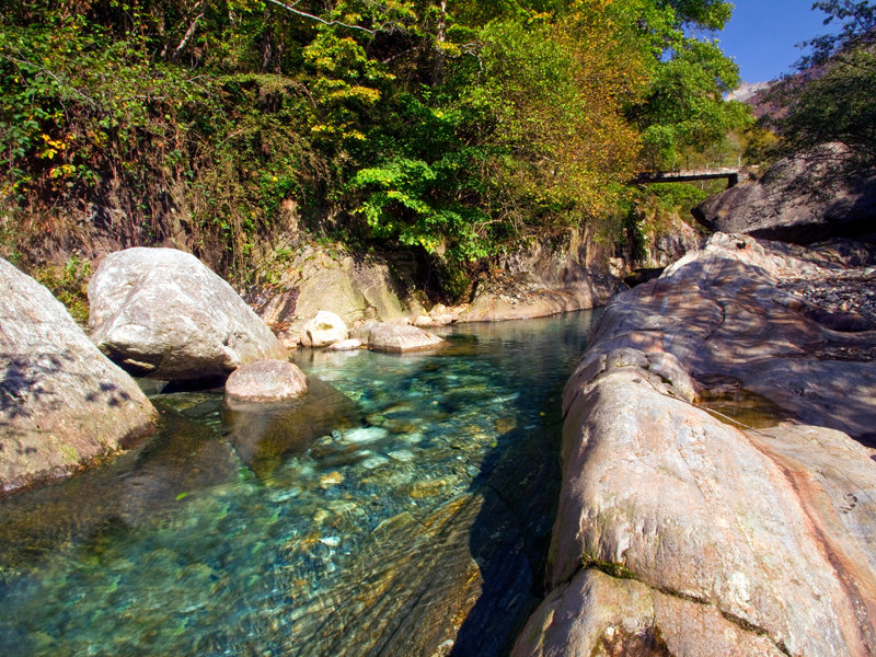
The Nature Trails are itineraries developing across the Park natural environment and along easily accessible trails without difficulties. It is not necessary to be expert and trained hikers, it is enough to wear suitable clothes and have the will to discover nature with a careful and curious spirit. Along the route, you will find some illustrated panels which, with images and short texts, describe the features of the surrounding environment. The trails are completed with a guidebook you can use during the walk or at home. The guidebooks of the Nature Trails are available in the Park information offices and in some local bookshops.
It is necessary to remind that Val Grande is a wilderness area, and therefore the trails must be followed with particular caution.

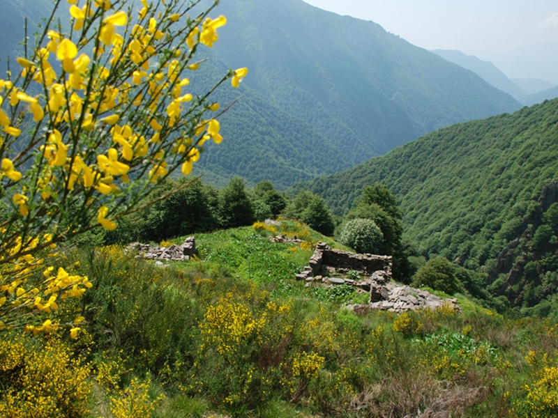
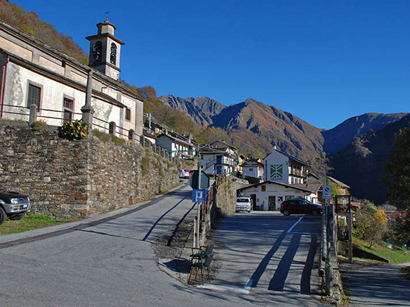
Itineraries
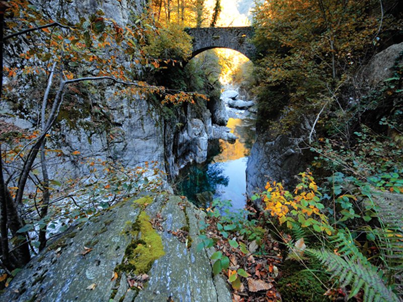
It is not a comprehensive list of all the Val Grande itineraries that allow to discover its naturalistic and anthropic aspects.
It is necessary to remind that Val Grande is a wilderness area, and therefore the traits must be followed with particular caution.

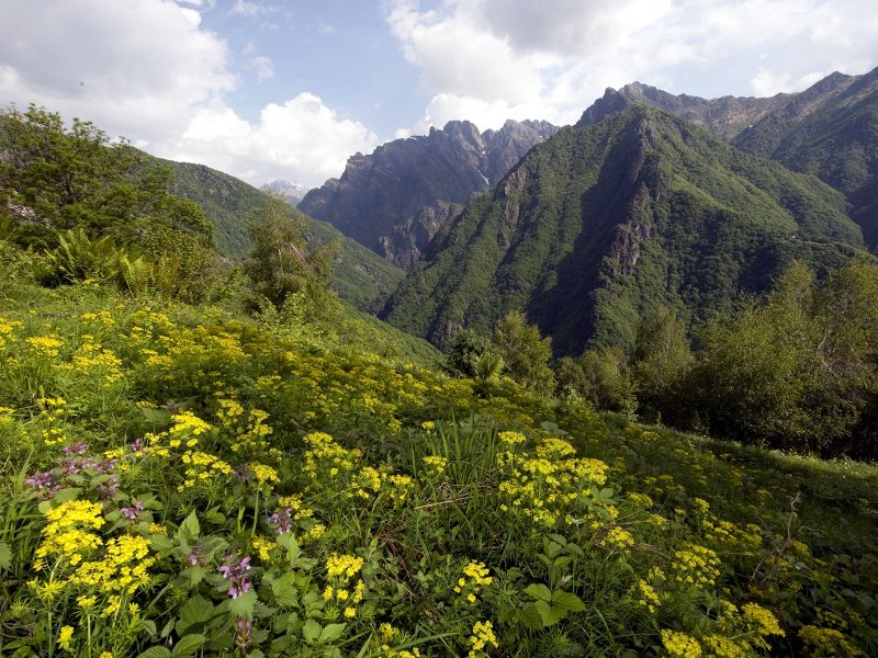
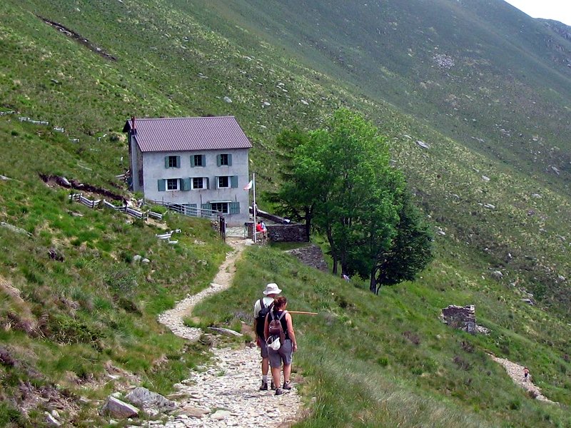
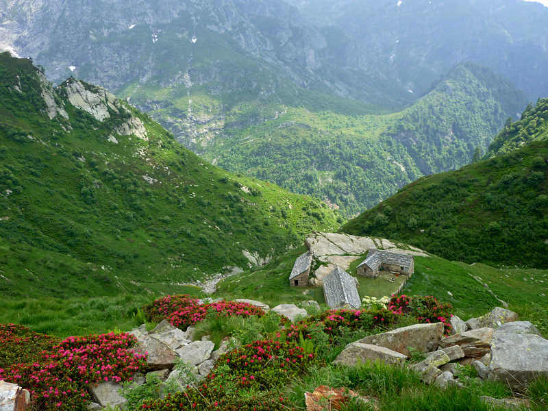
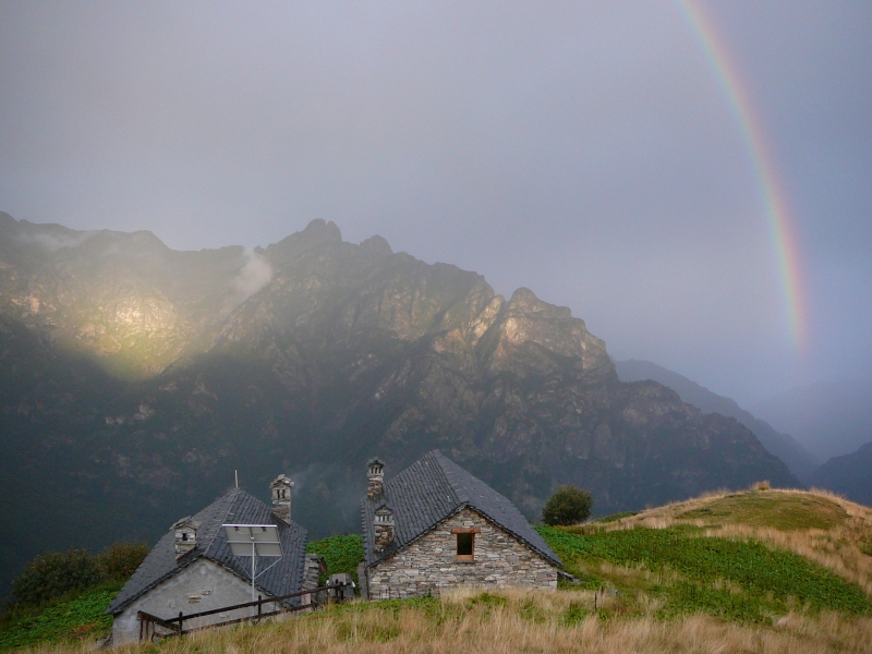
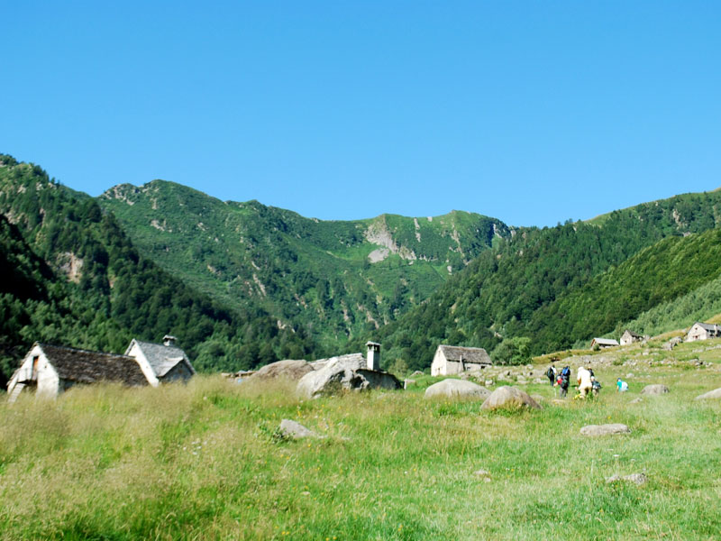
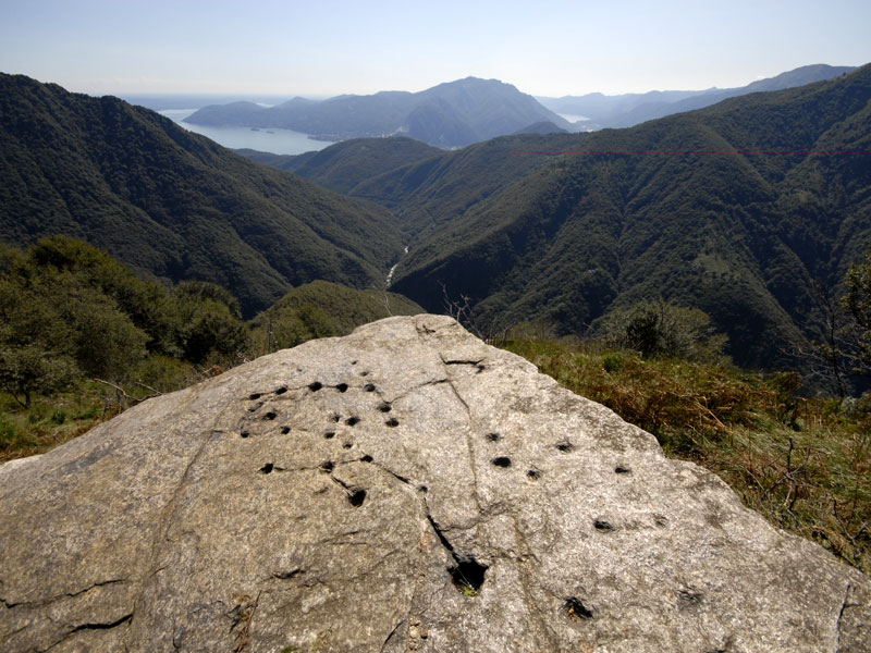
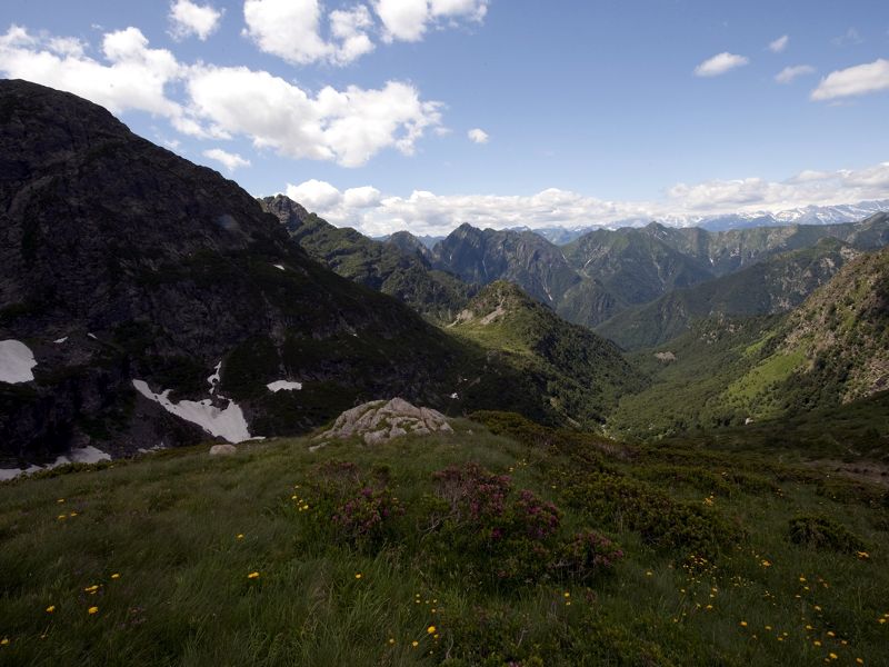
Traverses
Two traverses of Val Grande offer the chance of exploring wilderness, spending two days in the park and sleeping in an open round-the-clock bivouac. These itineraries require experience and training, suitable clothes, food and sleeping bags at night.
It is necessary to remind that Val Grande is a wilderness area, and therefore the trails must be followed with particular caution.
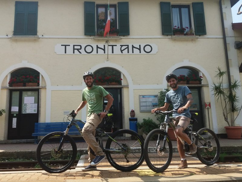
Rental Bike in Trontano
Rental of pedal assisted mountain bikes at Bar Trattoria Stazione, Via Paolo Ferraris n. 10.
The rental service is open from Tuesday to Sunday, at the following times: 8.30 a.m. - 1.00 p.m. and 2.00 p.m. - 6.30 p.m.
Prices:
Non-residents in a Municipality of the park:
- full day € 25
- half day € 20
- families € 60 (3 people minimum)
Residents in a Municipality of the park:
- full day € 15
- half day € 10
- families € 30 (3 people minimum)
Reservation must be made within 24 hours at +39 0324/37181 or +39 345/3564769
Recommended path:
Rental Bike in Rovegro
Rental of pedal assisted bikes at Circolo, Via San Gaudenzio.
The rental service is open from Tuesday to Sunday, at the following times: 9.30 a.m. - 1.30 p.m. and 5.00 p.m. - 10.00 p.m. In August, the service is open every day.
Prices:
Non-residents in a Municipality of the park:
- full day € 15
- half day € 10
Residents in a Municipality of the park and families:
- full day € 10
- half day € 8
Reservation must be made within 24 hours through Whatspp +39 331/5093245 or writing to circolorovegro@gmail.com
Recommended path:
Rental Bike in Aurano
At Lake Maggiore Zipline, in the Segletta Alp (municipality of Aurano), it is possible to rent bicycles for itineraries offering a view on Lake Maggiore, crossing pastures and travelling military roads.
For more information on rental and on paths, please click on the following link: www.lagomaggiorezipline.it/non-solo-volo/attivita/outdoor/racing-mountain-bike