


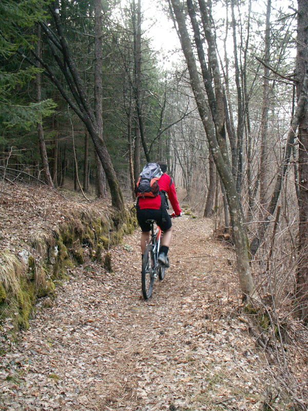
Itinerary 1: low Val Resia ring-route
- Trail Conditions: By bike
- Interest: Panorama, Photography
- Duration: 3 hour/s
- Difficulty Level: MC+/BC
- Length: 22.88 km
- Land: asphalt, cart track, path
- Ciclability: 100%
- Difference in height: +801 mt
- Maximum slope +: 35,3%
- Maximum slope -: 37,6%
- Average slope +: 7,4%
- Average slope -: 8,4%
- Maximum height: 869 mt
- Minimum height: 330 mt
Cycle tourist


© 2024 - Ente parco naturale delle Prealpi Giulie