


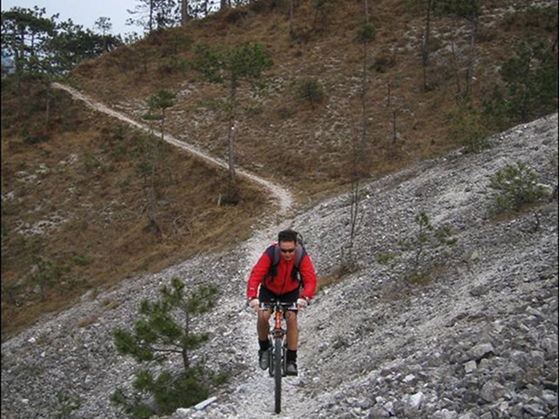
Itinerary 3: Monte Sflincis ring-route
- Trail Conditions: By bike
- Interest: Panorama, Photography
- Duration: 1h and 45 minutes without stops
- Difficulty Level: MC/BC+
- Length: 10.89 km
- Land: asphalt, cart track, path
- Ciclability: 100%
- Difference in height: +472 mt
- Maximum slope +: 33%
- Maximum slope -: 37,9%
- Average slope +: 10,3%
- Average slope -: 13%
- Maximum height: 785 mt
- Minimum height: 302 mt
Tours by MTB


© 2024 - Ente parco naturale delle Prealpi Giulie