

Mt. Mario and Prati di Mugnano
- Trail Conditions: On foot
- Interest: Flora, Geology, Panorama
- Departure: Sasso Marconi (103m)
- Arrival: Monte Mario (466m)
- Duration: 3 hour/s 30 minutes
- Length: 7.6 km
The slopes of Monte Mario (466 m) are crossed by cavedagne and paths that allow you to make more excursions of different length and difficulty, always with a ring development and return through the Mugnano Meadows. The main ring, after having crossed the park of an ancient noble villa, climbs to the top of the mountain following the panoramic ridge overlooking the overhanging western wall of the relief. Two easier variants, within everyone's reach, develop mainly within the thick wood that covers the northern slopes of the mountain. A further alternative, a little longer, descends from the ridge to the locality of Battedizzo and then climbs the western wall of the mountain, with some more exposed and challenging passages, and rejoins the main itinerary at the southern end of the Prati di Mugnano. Along all the routes there are naturalistic and historical emergencies of considerable importance. Some stretches can be muddy in periods of rain and special attention must always be paid along the stretches of the ridge.
The itinerary starts from the Sasso Marconi railway station, reachable by train on the Bologna-Porretta line, but also equipped with a large car park.
Once out in via Ponte Albano, go down to the right and, after crossing the bridge over the Reno, turn left into the busy via Vìzzano. Once you have passed under the motorway, you will meet the signs for the Reserve and the signs for trails 118 and 122 (coinciding for the first 100m).
Further information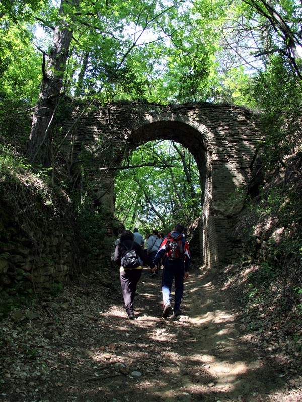
 Download KMZ


