Parco Nazionale delle Foreste Casentinesi, Monte Falterona, Campigna
www.parcoforestecasentinesi.it21 - Castagno d'Andrea - Campigna
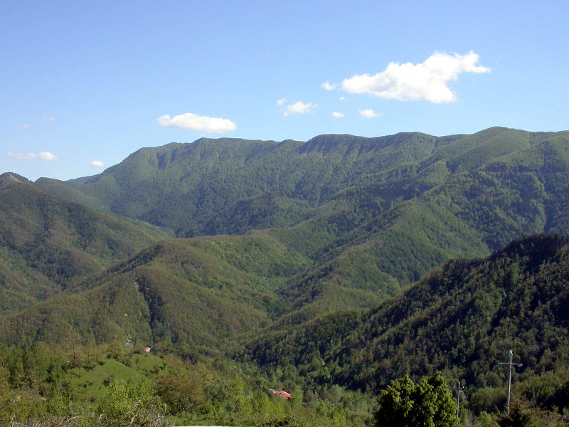
This walk goes over the highest mountains of the Tuscan-Romagnolo Apennines, through expanses of woods that anticipate the forest wealth of the next stages.
- Trail Conditions: On foot
- Departure: Castagno d'Andrea (727m)
- Arrival: Campigna (1,070m)
- Duration: 6 hour/s
- Length: 19.4 km
- Difference in height: Uphill 1,080m - Downhill 740m
- Accomodation structures: Rifugio C.A.I. Citta' di Forli', Lo Scoiattolo, Granduca, Agriturismo Biologico Poderone, Rifugio Le Fontanelle, Rifugio La Burraia Il Casone, Locanda Chalet Burraia
From the top of the built-up area of Castagno one goes uphill to the woods, along the trail that cuts through the many swithbacks in the road to the Borbotto Spring. From the spring one continues to rise in the beech forest dotted with boulders, up to the pool of Gorga Nera, then continuing beyond the divide to a forest track that leads to the little spring of Capo d'Arno. The trail continues by crossing the southern slope of Mount Falterona, through woods and swamps, to Lake degli Idoli, a very important archaeological site. Recent works have restored the lake to its original condition of body of water deep in the forest. The pastures of Montelleri lead again on the ridge at the foot of the summit of Mount Falterona, accessible via a short detour. The route, on the other end, continues along the ridge dotted with clearings and low scrubs of Mugo Pine, to the summit of Mount Falco (1657 m), maximum altitude of the Tuscan-Romagna Apennines and extraordinary viewpoint of the Casentino and Romagna. From the summit one descends slowly, encountering the antennae of a military installation, and then the vast grasslands of Burraia, near Calla Pass. From there one descends to the close-by Città di Forlì Refuge, and then along the valley of the Fosso dell'Abetìo, crossing the wonderful high forest of fir trees that accompany the journey up to Campigna, in the heart of historical Casentino Forests.
Further information21 lap of: Alta Via dei Parchi
Accommodation: Rifugio C.A.I. Citta' di Forli', Lo Scoiattolo, Granduca, Agriturismo Biologico Poderone, Rifugio Le Fontanelle, Rifugio La Burraia Il Casone, Locanda Chalet Burraia


 Download KMZ


