Protected Area
Identity Card
- Pian di Spagna e Lago di Mezzola Nature Reserve:
- Land Surface Area: 1'586.42 ha
- Lower altitude (m): 199
- Higher altitude (m): 220
- Regions: Lombardia
- Provinces: Como, Sondrio
- Municipalities: Dubino, Gera Lario, Novate Mezzola, Sorico, Verceia
- Establishment Measures: DCR n .1913 06/02/1985
- PA Official List: EUAP0326
- Park Authority: Ente Riserva Naturale Pian di Spagna - Lago di Mezzola
- Further managed Protected Areas:
- ZPS Lago di Mezzola e Pian di Spagna
- ZSC Pian di Spagna e Lago di Mezzola
The Pian di Spagna and Lago di Mezzola Nature Reserve: a territory to discover and protect
The Pian di Spagna and Lago di Mezzola Nature Reserve is not just a natural laboratory full of ideas for the direct observation of the different between human activities and natural resources.interdependence present here, but it is also a concrete example of hydrographic system and of the ecosystem components
An area of such naturalistic value can and must be a source of inspiration to undertake a journey of cultural growth both for those who will live in this area in the future, and for those who, by visiting it, will leave a light footprint and respect its delicate balance.
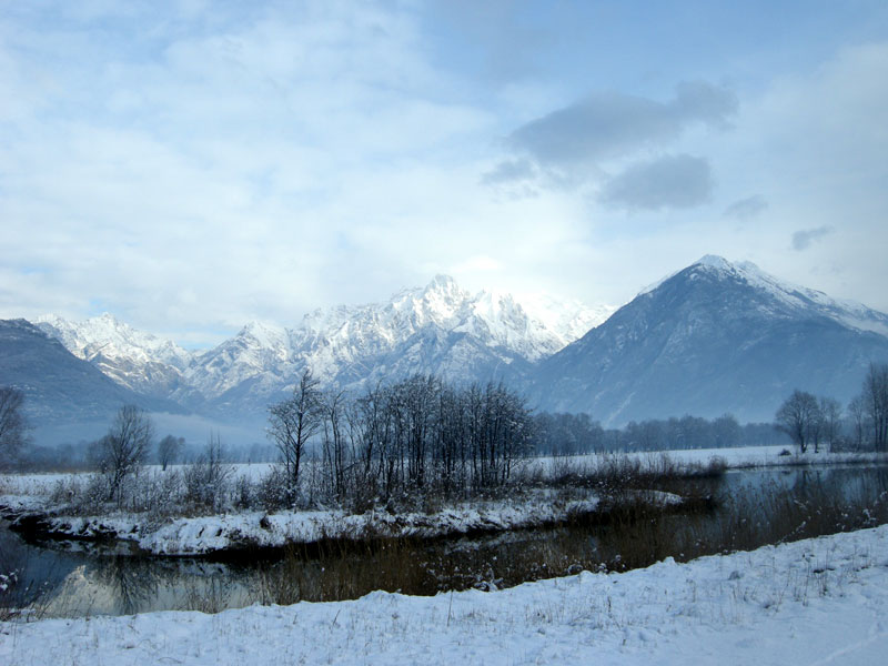
The physical environment and its evolution over time
The alluvial plain of the Pian di Spagna, made up of debris transported and deposited by the Adda river over time, has rather recent origins. These are mainly coarse deposits, mostly silty-sandy.
Counted among the rocks that make up the surrounding mountains is the granite of San Fedelino, an intrusive rock that emerges for over 6 square kilometers on the mountains of the lower Valchiavenna. It is a light, fine-grained rock made up of quartz, white feldspars, muscovite and biotite. Given its high hardness, it has been widely used in the past for road paving and civil construction.
History, purpose and functioning
The origin of the Reserve dates back to the year 1971, when the International Convention of Ramsar on wetlands of international importance, especially as a waterfowl habitat. The latter had a fundamental importance for the new vision that the wetlands took on, from being considered unhealthy environments to be reclaimed, they became highly natural environments to beprotected.
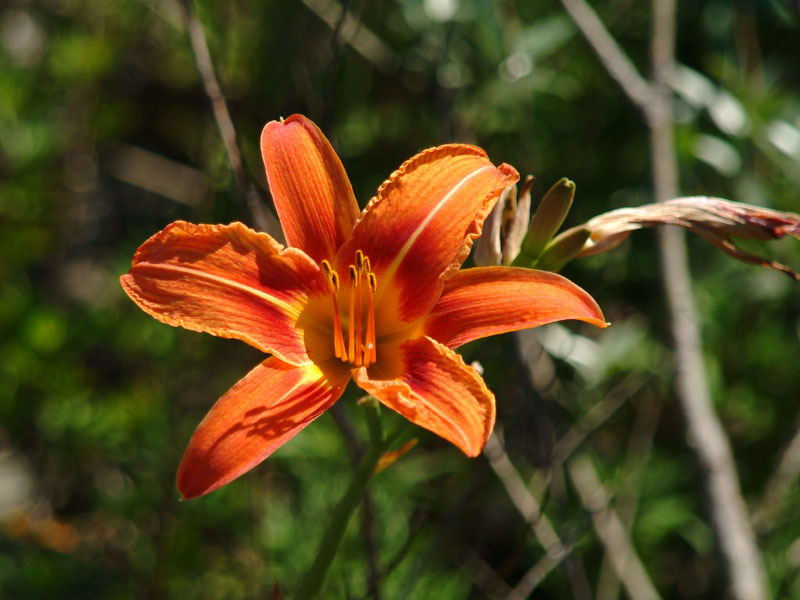
Vegetation and flora
Along a gradient linked to the progressive liberation from the aquatic environment, numerous plant species follow one another and gradually replace each other. The succession of these, as well as spatial, also has a temporal connotation: the vegetation itself, in fact, has spontaneously contributed to the burial of aquatic environments, with the consequent manifestation of species increasingly freed from the presence of water, culminating with woody tree and shrub species.
However, it was above all human interventions that caused the spontaneous vegetation to deviate towards synanthropic forms (crops, meadows, etc.), with a reduced presence of woods and shrubs.

Human activities
In the past, the livelihood of the inhabitants of the area around Pian di Spagna was based mainly on agriculture and fishing. As time passed, the activities changed and, for example, from the end of the 18th century to the mid-20th century, the excavation of granite took hold of San Fedelino in Novate Mezzola.
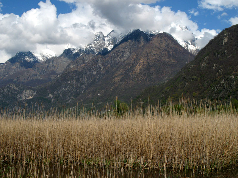
The geographical position
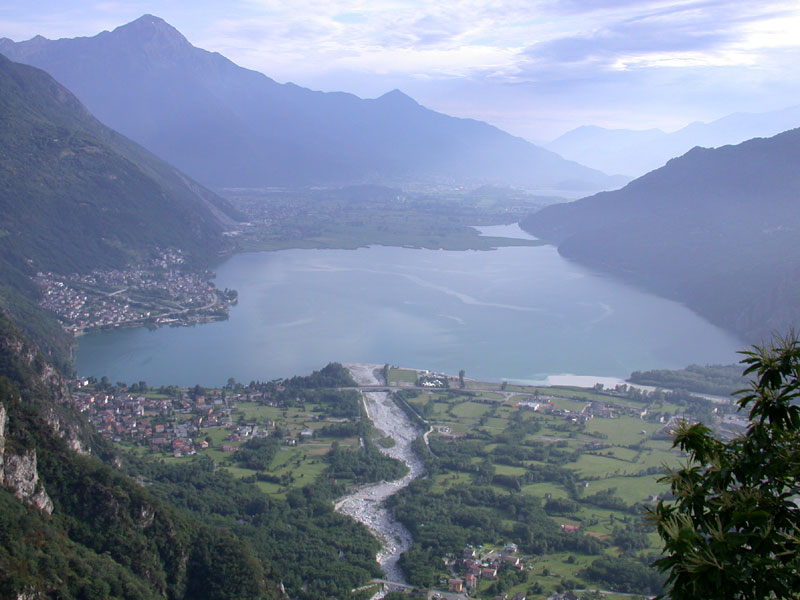
The Pian di Spagna is located in the northernmost part of Lombardy and forms a plain, between Lake Mezzola and Lake Como.Valchiavenna and Valtellina of approximately 1600 hectares at the confluence of
The area extends flatly at an altitude of around 200 m above sea level, with the only exception represented by the "Montecchi", isolated hillocks emerging from the Colico plain and settling at approximately 300 m above sea level.
The vegetal landscape
The current plant landscape of Pian di Spagna is the result of a dynamic process of complex interactions between events natural and human interventions. On the one hand, in fact, the floods of the Adda river and the Lario have favored the marsh vegetation, on the other hand, since the latter was considered unproductive, the plain was subjected to reclamation interventions.
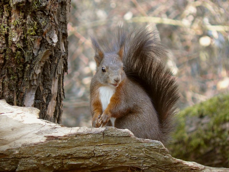
The Fauna
The Pian di Spagna and Lago di Mezzola Nature Reserve presents a notable variety of animal species. In fact, there are numerous invertebrates, fish, amphibians and reptiles, birds and mammals.