


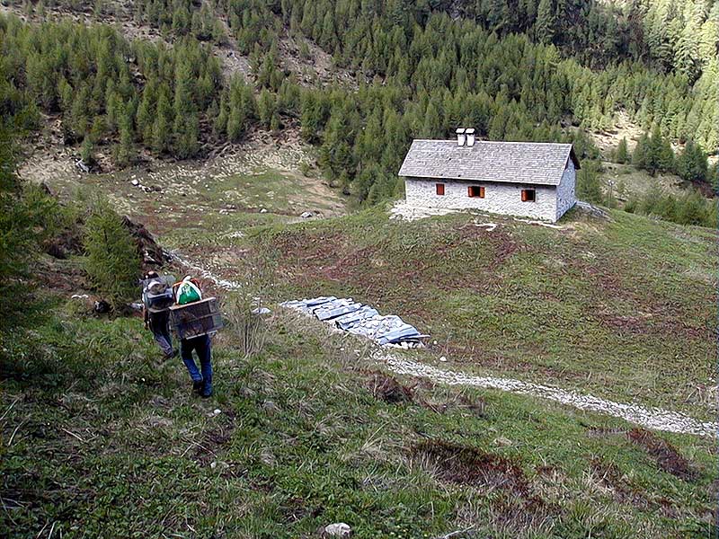
Itineraries
It is advisable for hikers to follow the main paths of the Park, by previously asking for information and specific material in the Visitor Centers, the Information Points, and the Park Head Offices (Tel. 042787333).
The network of paths is well signalled on the specific excursion maps, scale 1:25.000 (Ed. Tabacco di Udine, nn. 02, 012, 021, 028).
The general information about the following itineraries refer to weather conditions which are typical of the period between the late spring and the late autumn.
Walking in valley bottom
Col dei Piais
Departure: Parcheggio Conca Verde, centro paese di Claut (600m slm)
Typology: On foot
Landris Path
Departure: Strada di Pala Barzana – Località Buffui, Poffabro di Frisanco (525 m slm)
Typology: On foot
Mills' Path in Cimolais
Departure: Parcheggio presso Area Giochi attrezzata
Typology: On foot
Nongola and Molisea Paths
Departure: Piazzale antistante il bar “Alla Roccia” (800m), lasciare l’auto nel grande parcheggio sulla frana all’inizio della strada lungo il lago.
Typology: On foot
Ring circuit along Tagliamento river
Departure: Parcheggio Centro sportivo zona Davost, Forni di Sopra (878m)
Typology: On foot
Truoi Dal Von
Departure: Parcheggio seggiovia Varmost, Forni di Sopra (912 m slm)
Typology: On foot
Duration: 3-4 hours
Val Rovadia Waterfall
Departure: Parcheggio Centro sportivo zona Davost, Forni di Sopra (878m)
Typology: On foot
Itineraries
Bregoline Trail: Casera Bregolina Grande
Departure: Val Cimoliana – Pian Melùth (1163 m slm)
Typology: On foot
Difficulty Level: E - Hiking (level)
Interest: Flora, Wildlife, Panorama
Mont Ciavac Nature Trail
Departure: Abitato di Andreis (455m slm)
Typology: On foot
Interest: Wildlife, Geology
Truoi dai Sclops
Departure: Parcheggio Davost, Forni di Sopra (900 m slm)
Typology: On foot
Interest: Flora, Panorama
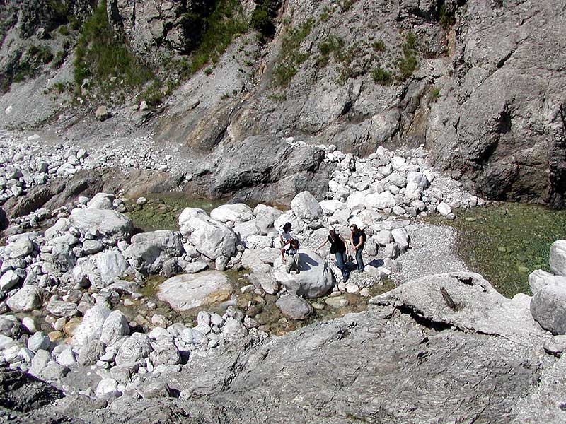
Val Cimolana Crossing
Departure: Parcheggio presso Rifugio Pordenone (Meluzzo), Cimolais (1163m)
Typology: On foot
Demanding itineraries
Bivouac Marchi Granzotto da Forni di Sopra
Departure: Parcheggio Ponte Giaf, Forni di Sopra (UD) (1011m)
Typology: On foot
Chiarescons
Departure: Forni di Sotto
Typology: On foot
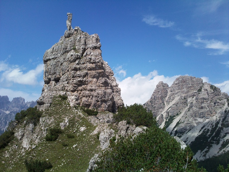
Forcella Capra and Mt. Raut
Departure: Forcella di Pala Barzana (840m slm)
Typology: On foot
Mt. Pramaggiore
Departure: Val Settimana – Ciol de Pess (907 m slm)
Typology: On foot
Saronidas Crest
Departure: Guado F. Tagliamento, Forni di Sotto (695 m slm)
Typology: On foot


© 2024 - Ente Parco Naturale Regionale delle Dolomiti Friulane