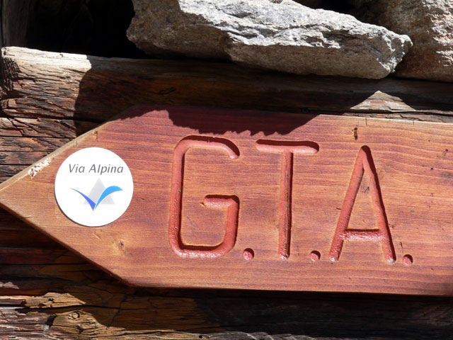
GTA - Great Traverse of the Alps
- Trail Conditions: On foot
- Interest: Flora, Panorama, Hystory
- Departure: Salbertrand (1,054m)
- Duration: 6 hour/s 30 minutes
- Difficulty Level: EE - For expert hikers
- Length: 12.67 km
- Difference in height: 1,484m
From the town of Salbertrand, move beyond Dora Riparia towards the Park entrance.
You will cross Scotch pine, larch, and fir tree woodlands and, near the clearings, you will see the ruins of the house of Pineis and Grange d'Himbert, near the old pyrite mine.
Near the ruined houses Bercia there are old wooden pylons and rusty cables, the rests of the cableway which used to bring timber and hay to the valley. At 1,771m, in the middle of the meadows, there are the stone houses of Montagne Seu, and you can stop in the Mountain Hut Daniele Arlaud.
The GTA continues turning left among the houses, and begins to climb again to the limit of the arboreal vegetation, where you will find the wooden trail marker of trail no. 5: from here, for about 1.8 km, GTA follows the Road of the Cannons. At 2,495 you will get to the watershed between Val Susa and Val Chisone, and to the SP road of Assietta. The GTA runs along the easy ridge road for about 3.2 km, along the lake and the track maintenance house of Assietta where you will find a picnic area, and under the monument recalling the battle of 1747. Once you get to Colle dell'Assietta, 2,472m, before the junction Gran Serin, the GTA leaves the road and descends on the right in the meadows. It continues for 7.3 km towards Usseaux, in Val Chisone, where there is a stop point you can reach in 2 hours.