Runa Mule Track
Trail no. 9
- Trail Conditions: On foot
- Duration: 3 hour/s 45 minutes
- Difficulty Level: EE - For expert hikers
- Length: 4.7 km
- Difference in height: 1,220m
Leaving from Rio Bacoun Recreational Area, follow the SP road from Exilles Station to the double underpass. After following the dirt road for about one hundred meters, you will reach the beginning of the mule track at 940m of altitude.
The trail climbs steep with narrow hairpin bends crossing a thick broadleaf forest and leading to the chalets of Coudissard d'Amoù at 1,190m, where you will meet the Trail of the Franks. The mule tracks becomes broader but steep and continues with a series of hairpin bends in the forest called "del Sap" (Silver Fir) where, at higher altitudes, the broadleaf trees give way to fir trees and larches.
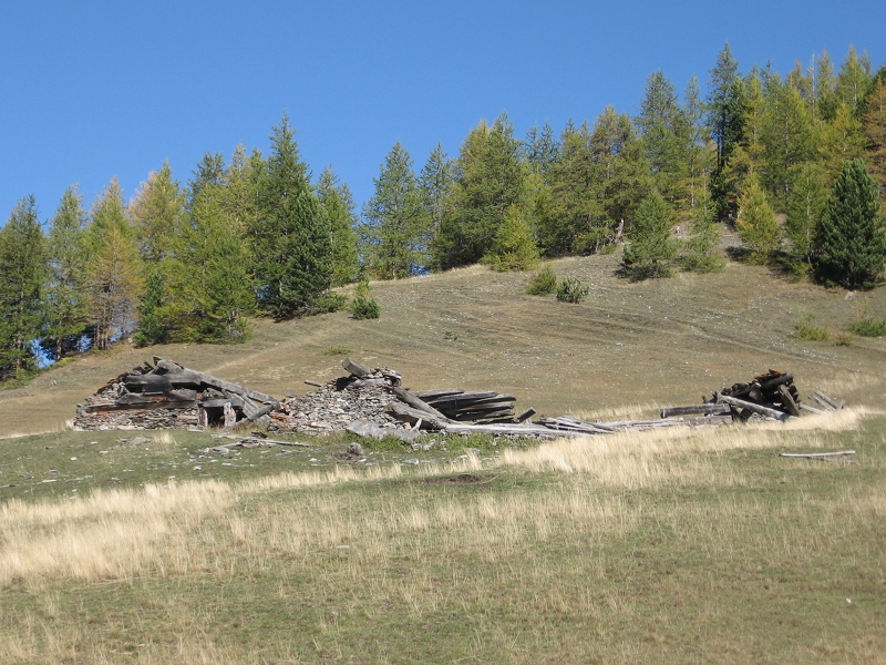
At 2,000m of altitude, the trail heads left and crosses an area subject to landslides where elders and larches grow among the rhododendros and leads to a broad basin used as a pasture, where you will find the ruins of the ancient Runa summer grazing land, used for centuries by the people from Exilles and abandoned in the 1950s. The itinerary ends at the crossroads with trail no. 14.