


Itineraries
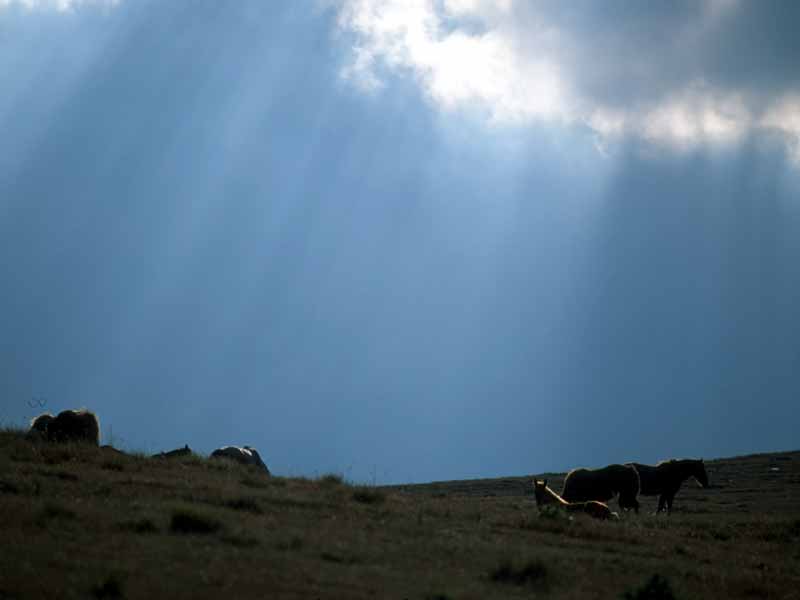
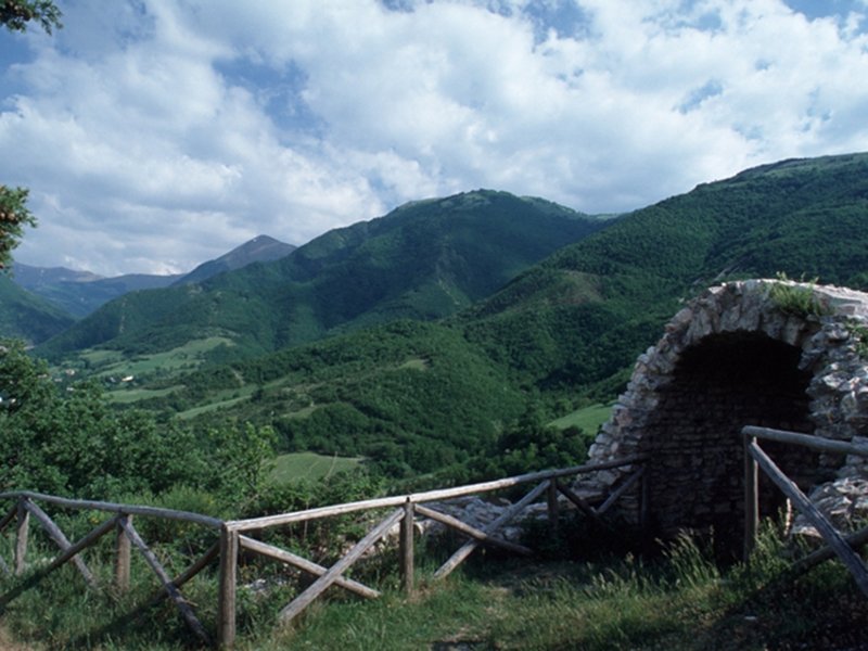
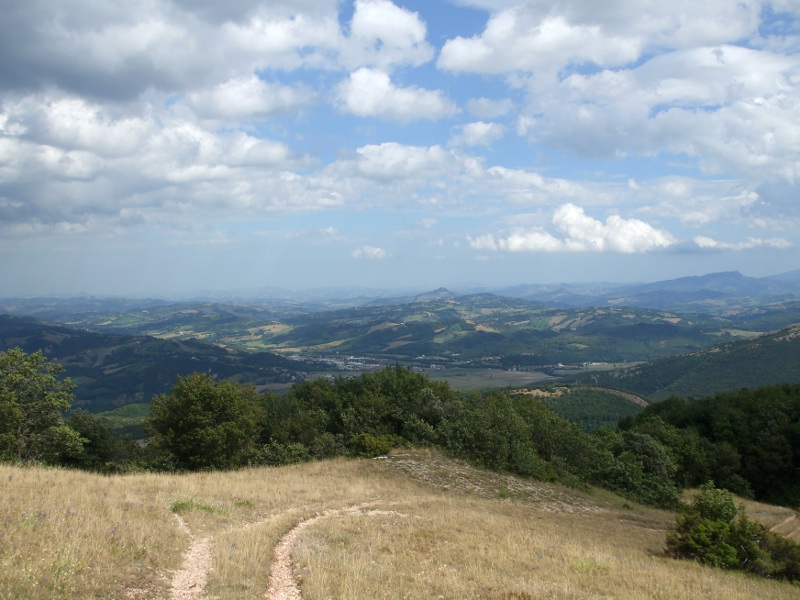
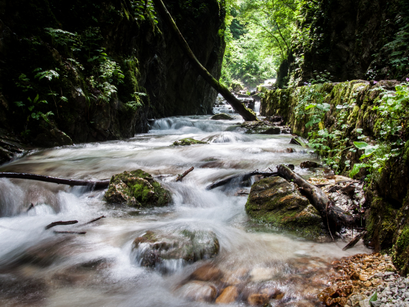
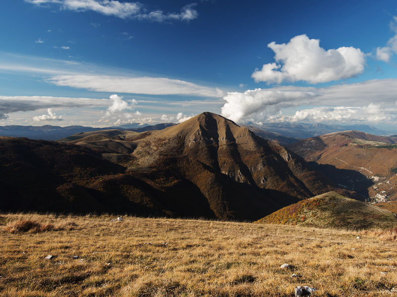
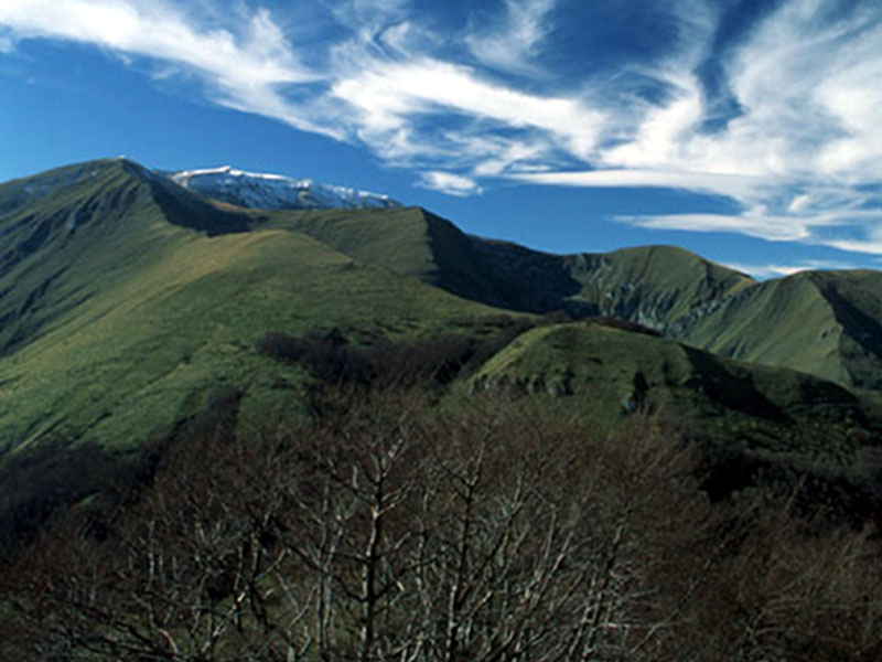
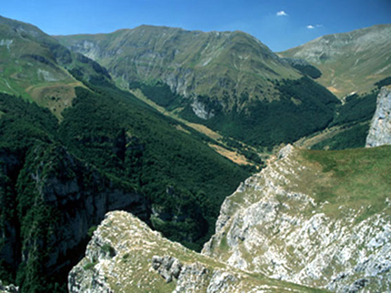
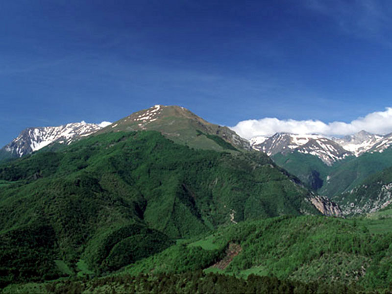
The hiking trails cross these mountains like a web and allow the discovery of the natural and historical-cultural environment, from spring to autumn. During the winter, when the highest peaks are covered in snow, there is the opportunity to go skiing among woodlands and valleys wrapped by an absolute silence. Horseback riding, mountain biking, hang gliding or paragliding, rock and glacier climbing are other entertainment opportunities that the "Case del Parco" offer to visitors. It is also possible to carry out interesting historical and naturalistic guided tours to discover the essence of this rare and precious territory.
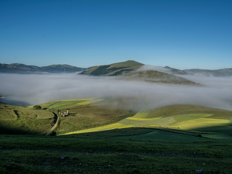
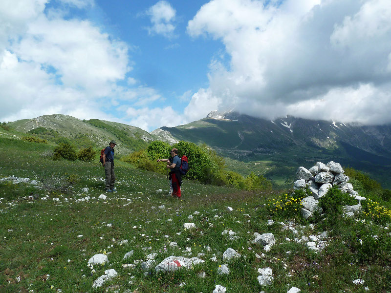
Trekking and Hiking in the Park
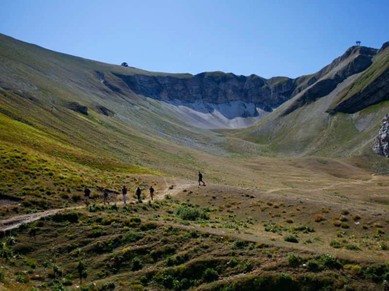
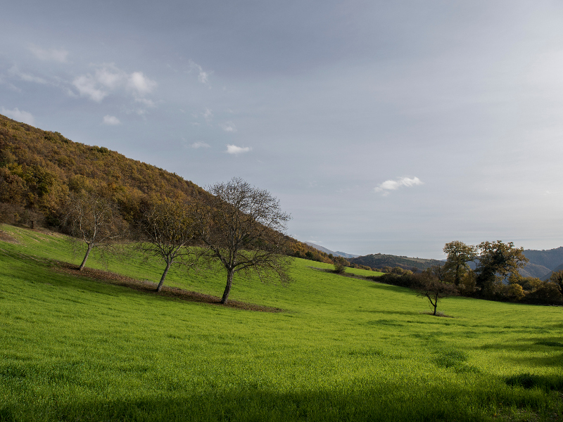
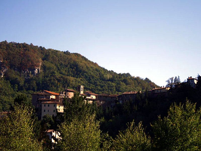
The Park territory offers several and various opportunities to those people who want to discover its treasures in the four seasons, on foot. The urban itineraries lead us to the medieval corners of the villages scattered at the foot of the Sibillini, while pleasant walks reveal us the mosaic of the rural and shepherds' life. The contact with wild nature and the magic world of the summits can be experienced through more demanding hikes often requiring experience, training, and suitable equipment. These itineraries will soon be signaled by the Park; however, at the moment it is possible to rely on the experience of the Park Official Tour Guides, who will reveal us the most concealed secrets of the Sibillini in the safest manner.
Finally, an unforgettable experience will be walking along the trails of Grande Anello dei Sibillini, a 120 km-long hiking itinerary, entirely provided with trail markers. It takes 9 days of walk, and it involves the whole mountain chain.
For further information, please contact: Case del Parco
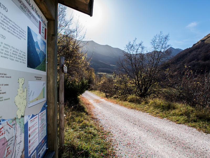
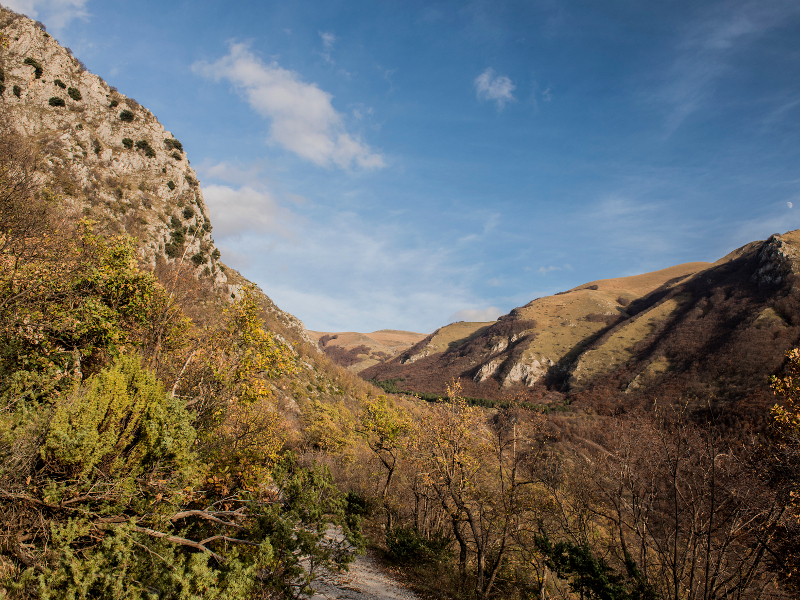
The Nature Trails
They provide an extra-ordinary opportunity to discover the Sibillini for less expert walkers or those with limited time. They start from historic town centres or from close by and are intended to allow people learn more about various aspects of the park: from the fauna to the flora, vegetation, history and local traditions.
Further information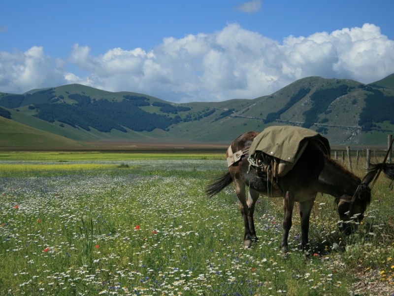

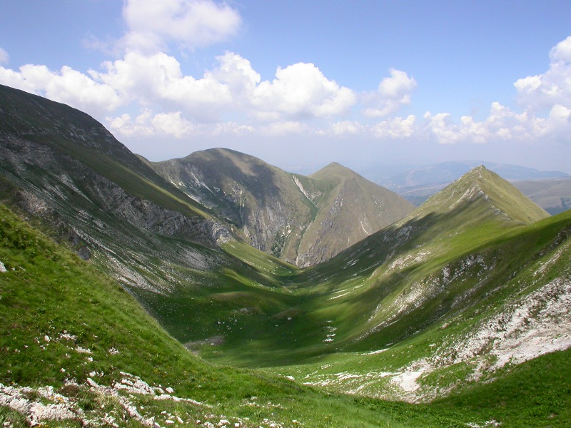
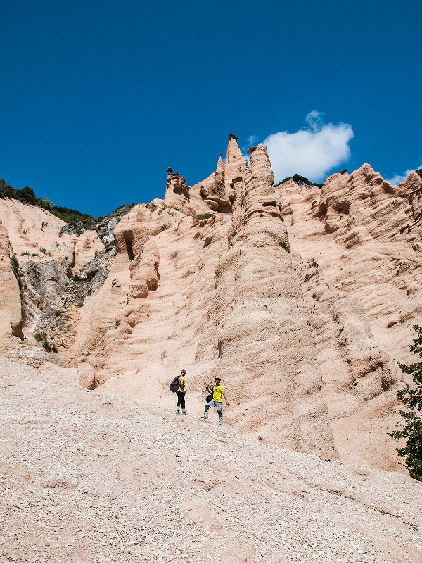
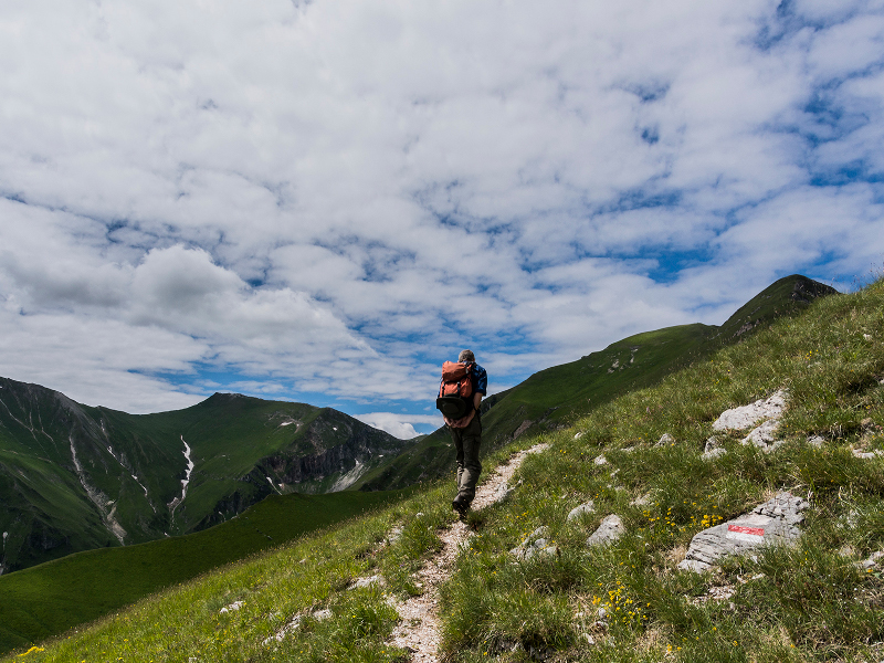
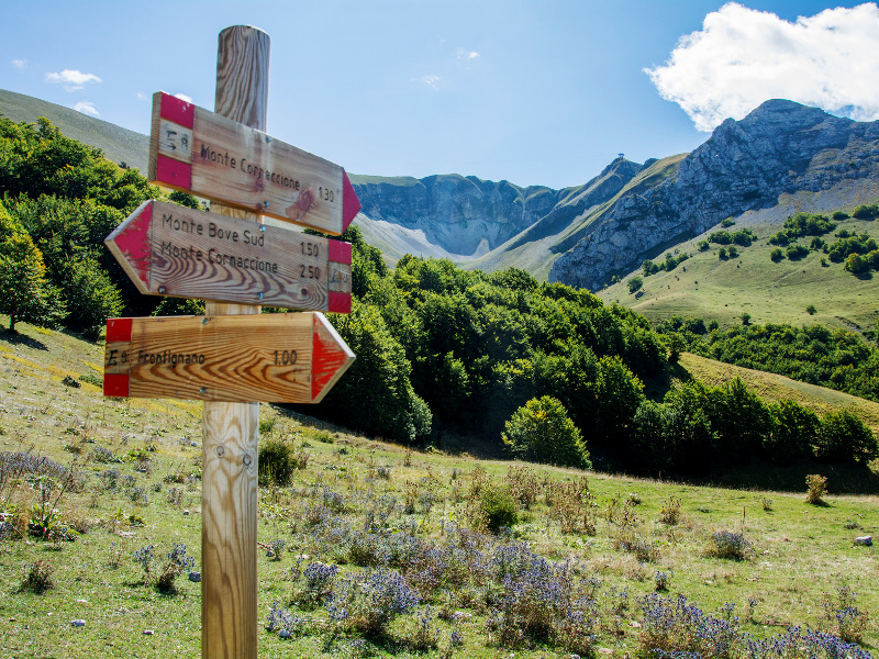
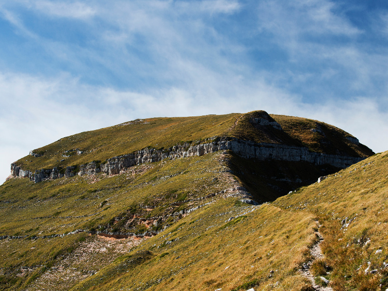
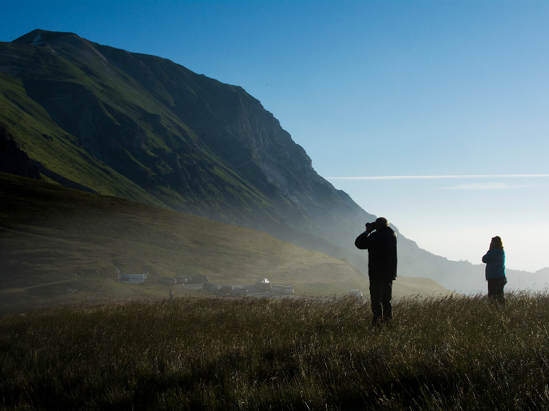
Hiking Trails
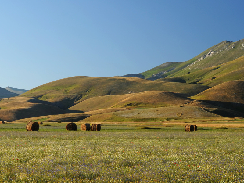
Livestock farming, which has always been practised in the Sibyllines, has, over the centuries, created a dense network of paths leading from the inhabited centres to the highest peaks where the main pastures opened up, used by the migratory herds for summer grazing. The old tracks can be used to make a huge number of walking routes. Here, we suggest 17 of the best routes for exploring the different scenery and nature that the Park has to offer.
Further information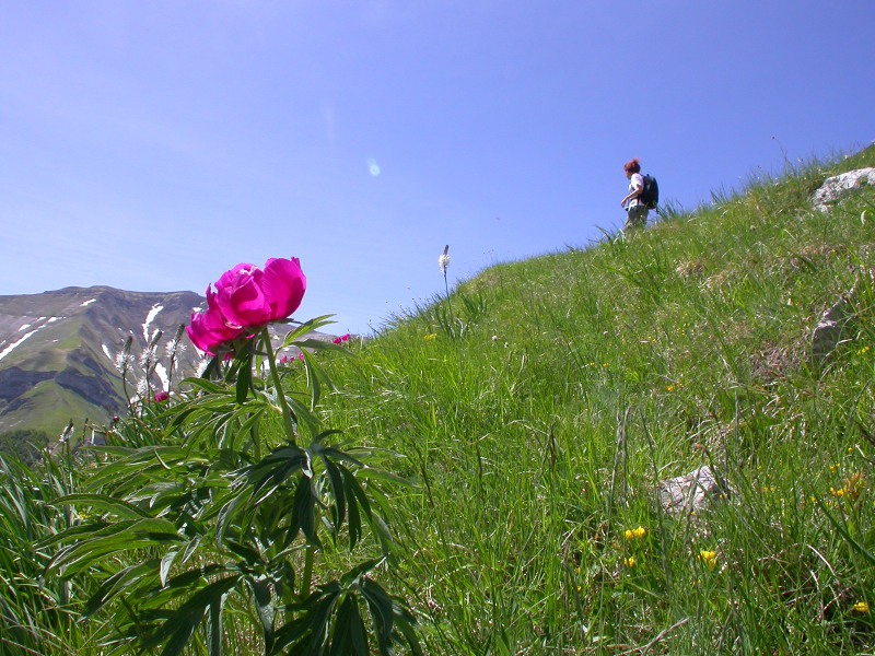
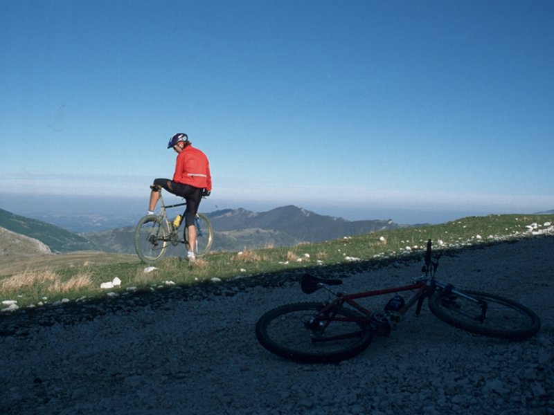
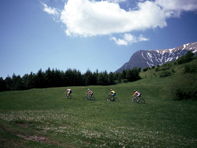
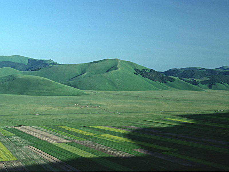
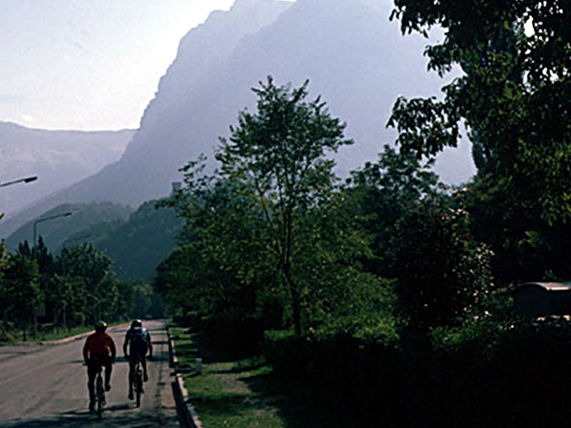
Itineraries by Mountain Bike
Exploring the Park by mountain bike gives the opportunity to catch emotions where the noise of the vehicles would cover the singing of birds and the gurgling of the streams, and the motors would cover the smell of the hay, the broom, and the helychrisum. It gives the opportunity to travel along streets and trails originally used by farmers, woodsmen, shepherds, and pilgrims.

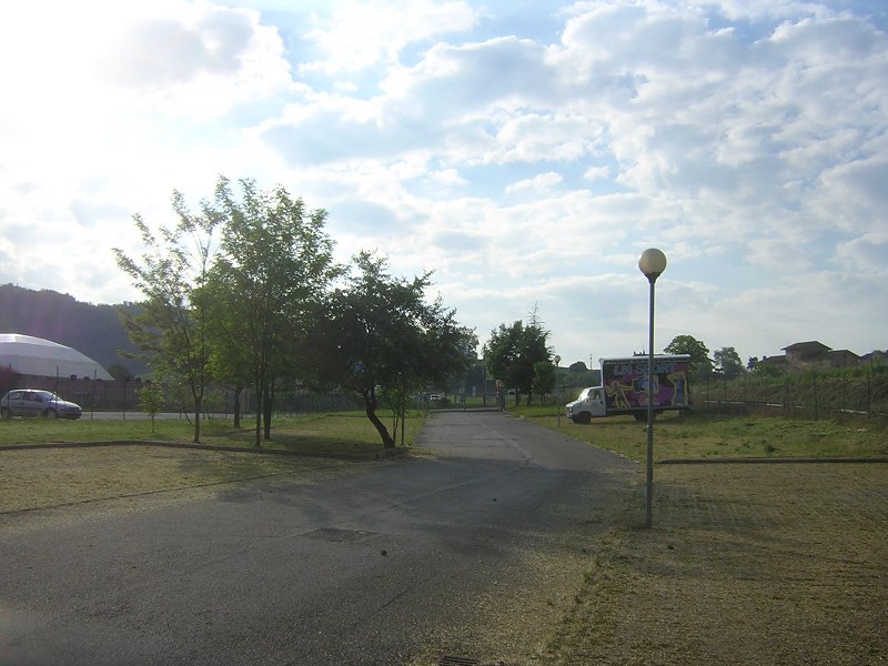
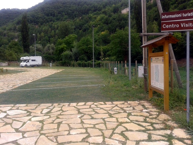
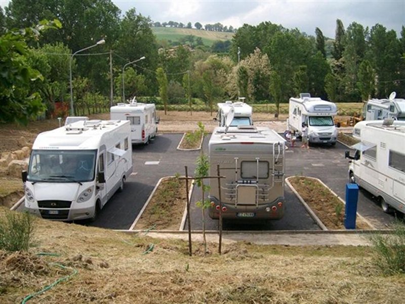
Scopri i Sibillini in camper
In order to discover the Sibillini Mountains, also by camper van, motorbike or car, the Grande Via del Parco and 6 ring routes have been identified, which make up a network of 450 km, developed entirely on existing roads and all signposted. The Grande Via del Parco (The Great Parkway) is an itinerary of more than 190 km, built on existing roads and all practicable by car, motorbike and camper van for a rewarding journey of several days. It is divided into four stages: from Visso to Fiastra, from Fiastra to Amandola, from Amandola to Arquata del Tronto, from Arquata del Tronto to Visso. Six other ring routes are connected to the Grande Via, identified in such a way as to allow a complete visit of the entire park territory. All the routes are entirely signposted in one direction: starting from Visso, a long ring route runs clockwise all around the mountain chain; the six routes start from places touched by the Grande Via and end in a ring route at the starting point.
Saint Benedicts' Way
Sentiero Italia CAI


