

Itineraries
Our itineraries
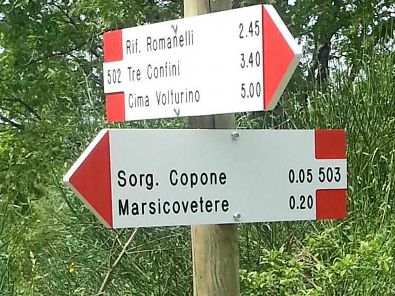
20th Anniversary Path
Departure: Sorgente Copone
Map with georeferenced itinerary
Typology: On foot
Difficulty Level: E average hike
Duration: 6 h 40 m
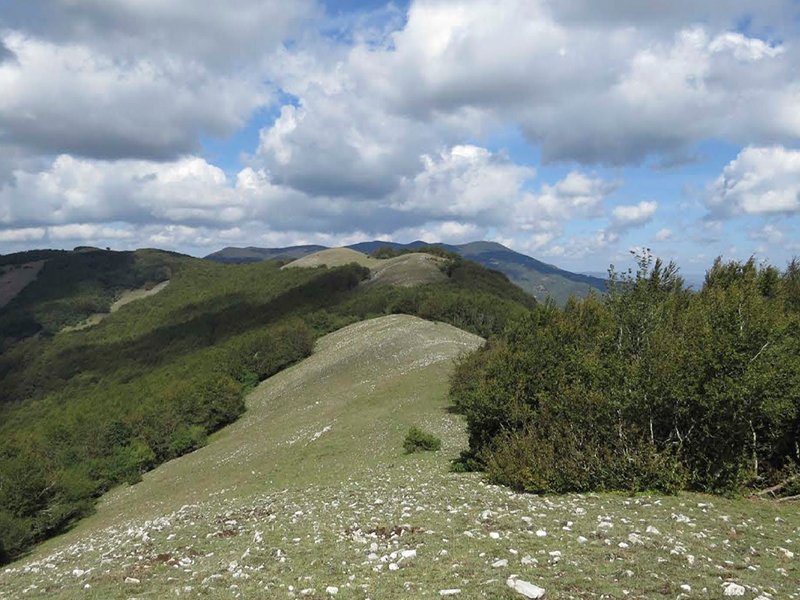
Interest: Panorama, Religion
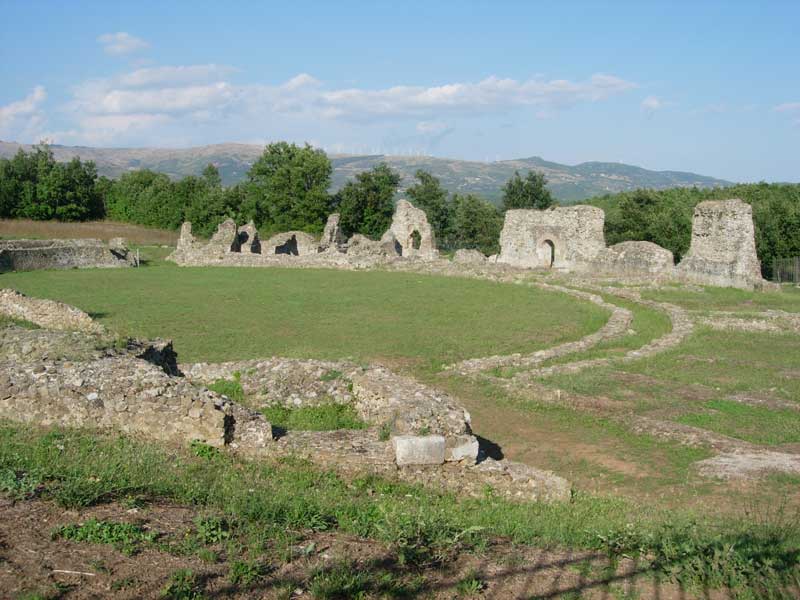
Archaeological Walk in Grumentum
Departure: Sarconi
Map with georeferenced itinerary
Typology: On foot, By bike
Difficulty Level: easy
Interest: Archeology, History
Frassati Path
Departure: Comune di Sasso di Castalda
Map with georeferenced itinerary
Typology: On foot
Difficulty Level: For expert hikers
Duration: 6 hours and 40 minutes (one-way only)
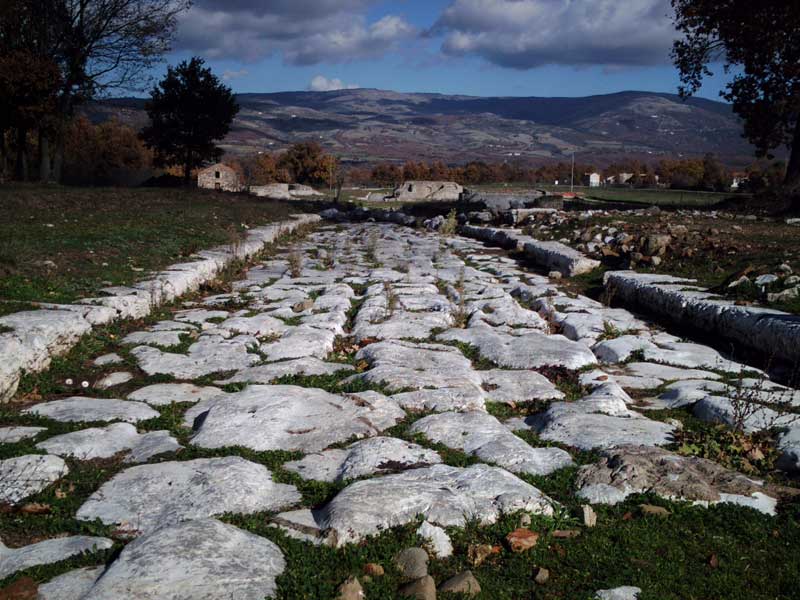
Grumentum Excavations - Maglie Forest
Departure: Scavi Archeologici di Grumentum
Map with georeferenced itinerary
Typology: On foot
Difficulty Level: Easy
Duration: 2 h 30 m
Interest: Panorama, Archeology, History
Map with georeferenced itinerary
Typology: Car
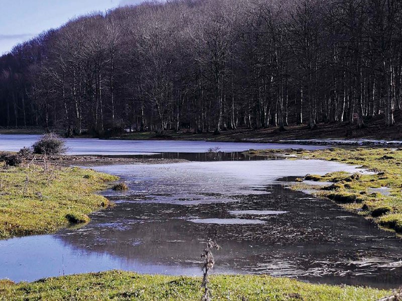
Laudemio Lake
Departure: Lago Laudemio
Map with georeferenced itinerary
Typology: On foot
Difficulty Level: For expert hikers
Duration: 5 h 30 m
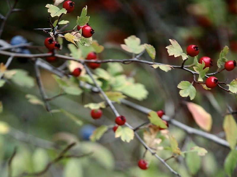
Interest: Flora, Panorama
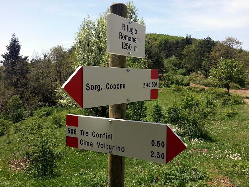
Mount Volturino
Departure: Sorgente Copone
Map with georeferenced itinerary
Typology: On foot
Difficulty Level: E average hike
Duration: 4 h 20 m
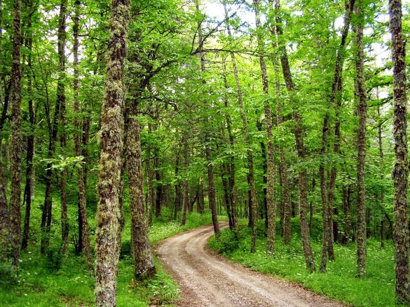
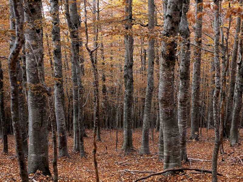
Silver Fir Woodland
Departure: Località Acque del Prosciutto
Map with georeferenced itinerary
Typology: On foot, By bike, On horseback
Difficulty Level: easy
Interest: Flora
The Way of the Pilgrims
Departure: Viggiano
Map with georeferenced itinerary
Typology: On foot
Difficulty Level: intermediate
Interest: Religion
Sentirete
Twelve paths in the heart of the Park
Map with georeferenced itinerary
Typology: On foot
Difficulty Level: T - Tourist (level)
Duration: 1h 30min or 2h 30min
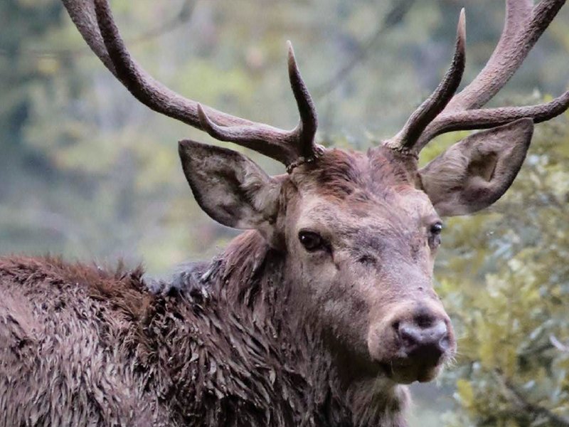
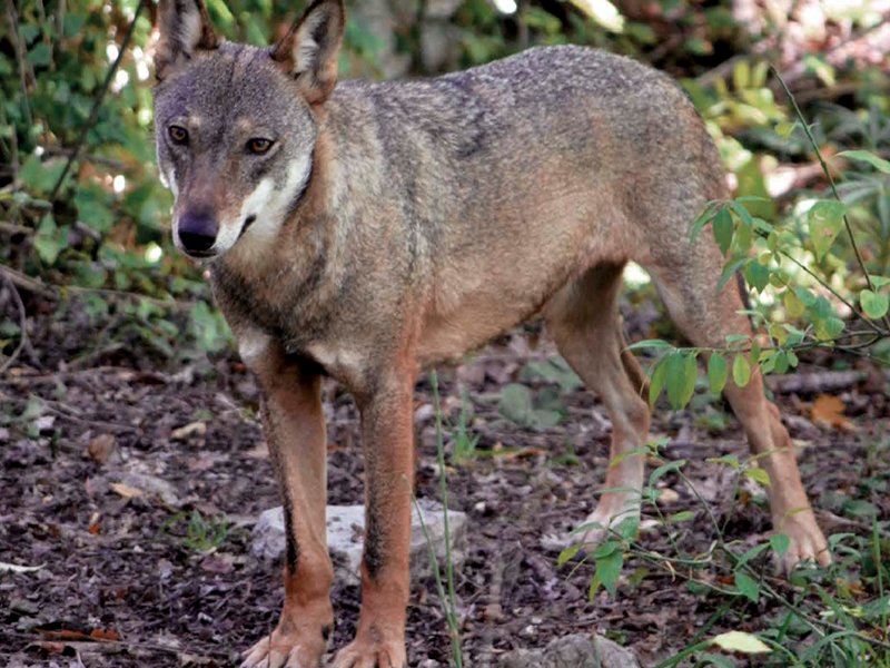
Interest: Wildlife
Map with georeferenced itinerary
Typology: On foot
Difficulty Level: Average
Duration: 3 h
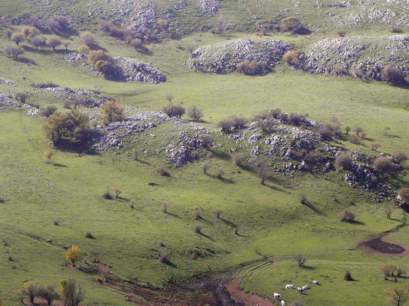
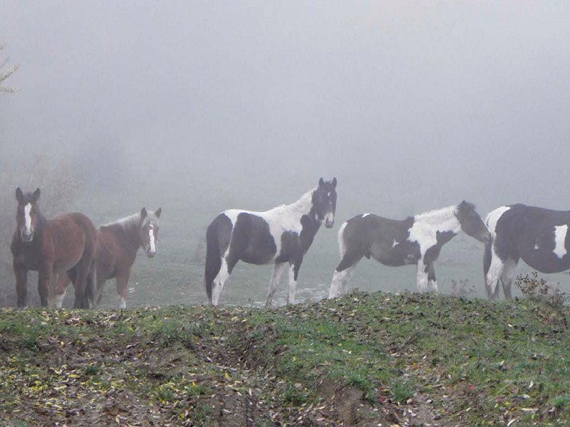
Interest: Flora, Wildlife, Panorama
Map with georeferenced itinerary
Typology: On foot
Difficulty Level: Average
Duration: 5 h 30 m
Interest: Flora, Wildlife
Map with georeferenced itinerary
Typology: On foot
Difficulty Level: Average
Duration: 3 h 30 m
Interest: Flora, Wildlife
Fontana delle Brecce - Romanelli Shelter
Departure: Fontana delle Brecce
Map with georeferenced itinerary
Typology: On foot
Difficulty Level: Average
Duration: 4h 50min
Interest: Wildlife, Panorama
Piano dell'Imperatore - Romanelli Shelter
Departure: Piano dell'Imperatore
Map with georeferenced itinerary
Typology: On foot
Difficulty Level: Average
Duration: 3h 50min
Interest: Flora, Panorama
Tuppo delle Seti - Volurino - Tuppo delle Seti
Departure: Tuppo delle Seti
Map with georeferenced itinerary
Typology: On foot
Difficulty Level: Average
Duration: 4 h 30 m
Interest: Flora, Wildlife
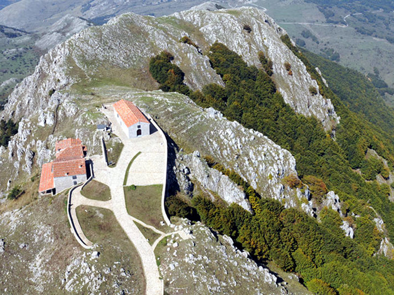
Madonna del Monte Saraceno - Piana Bonocore
Departure: Madonna del Monte Saraceno
Map with georeferenced itinerary
Typology: On foot
Difficulty Level: Average
Duration: 2h 40min
Interest: Flora, Wildlife, Religion, History
Fontana dei Pastori - Viggiano
Departure: Fontana dei Pastori
Map with georeferenced itinerary
Typology: On foot
Difficulty Level: Average
Duration: 4 h 30 m
Fontana dei Pastori - Abetina di Laurenzana
Departure: Fontana dei Pastori
Map with georeferenced itinerary
Typology: On foot
Difficulty Level: Average
Duration: 4 h
Interest: Flora, Wildlife
Abetina di Laurenzana Path
Departure: Abetina di Laurenzana
Map with georeferenced itinerary
Typology: On foot
Difficulty Level: Average
Duration: 5 h
Interest: Flora, Wildlife
Sentiero Italia CAI
Map with georeferenced itinerary
Typology: On foot
Interest: Panorama, History
Map with georeferenced itinerary
Typology: On foot
Interest: Flora, Panorama, Religion
Map with georeferenced itinerary
Typology: On foot
Interest: Panorama, Religion, History


© 2024 - Ente Parco Nazionale dell'Appennino Lucano - Val d'Agri - Lagonegrese