13 - Boccadirio - Alpe di Monghidoro
This undemanding stage runs largely in the open landscape of the mid Apennines.
- Trail Conditions: On foot
- Interest: Flora, Panorama, Religion
- Departure: Boccadirio (719m)
- Arrival: Alpe di Monghidoro (1,200m)
- Duration: 5 hour/s
- Length: 17.7 km
- Difference in height: Uphill 720m - Downhill 410m
- Accomodation structures: Osteria del Fantorno, B&B Antica Terrazza Pietramala, Agriturismo il Passeggere
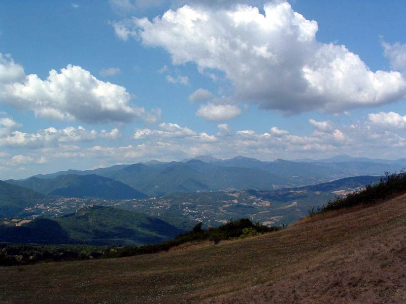
From the parking lot of the sanctuary one descends into the woods covering the narrow valley of the Rio Davena, until arriving near Roncobilaccio, then continuing the descent to the bottom of the valley of the Rio Gambellato, in recent years quite disrupted by works to modify the route of the pass road. One goes up the opposite side of the valley, passing under the Autostrada del Sole, then continues along the large clay slope, among groves and pastures, until reaching the village of Fratte, where one meets the road that goes from Futa Pass to Pian del Voglio. From there it is an easy walk to the Passeggere, a wide saddle of the ridge crossed by what is believed to be the ancient Roman road between Bononia and Fiesole, still visible in some parts. One then descends through the thick forests of the upper valley of the Savena stream, dominated by the bulk of Mount Freddi which, by the way, is almost always hidden by vegetation. Soon one leaves the valley floor to go up the right side, always remaining in the beech forest, until reaching the buildings of Cà di Barba. From there one climbs to Poggio Turchino Pass, located along the road that connects Castel dell'Alpi with the Futa state road. Continuing to rise in the beech forest, one skirts the slopes of Mount Oggioli to the right and of the Alpe to the left.
Further information13 lap of: Alta Via dei Parchi
Accommodation: Osteria del Fantorno, B&B Antica Terrazza Pietramala, Agriturismo il Passeggere
 Download KMZ