

Itineraries
The Park's Itineraries
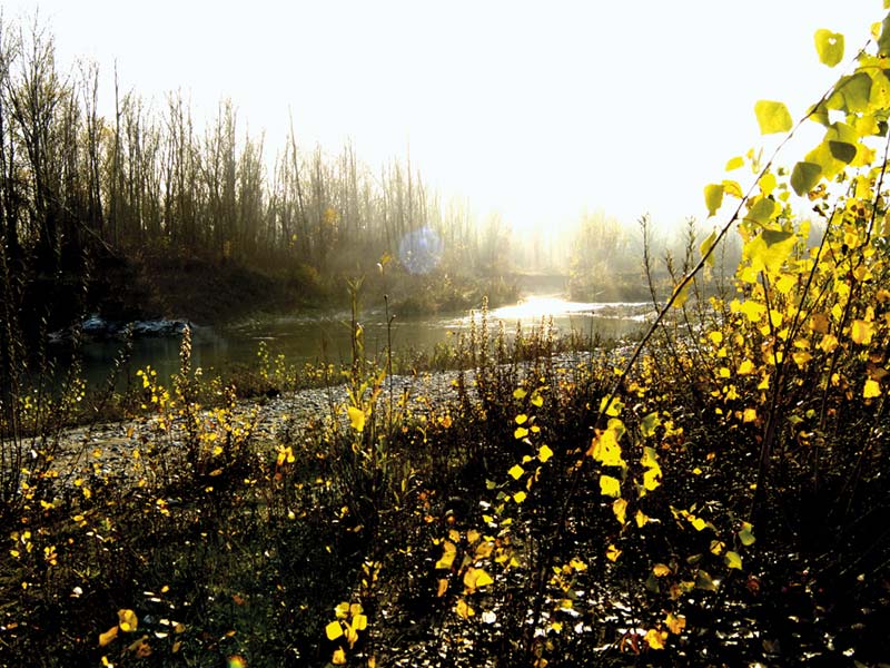
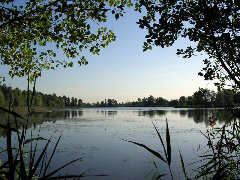
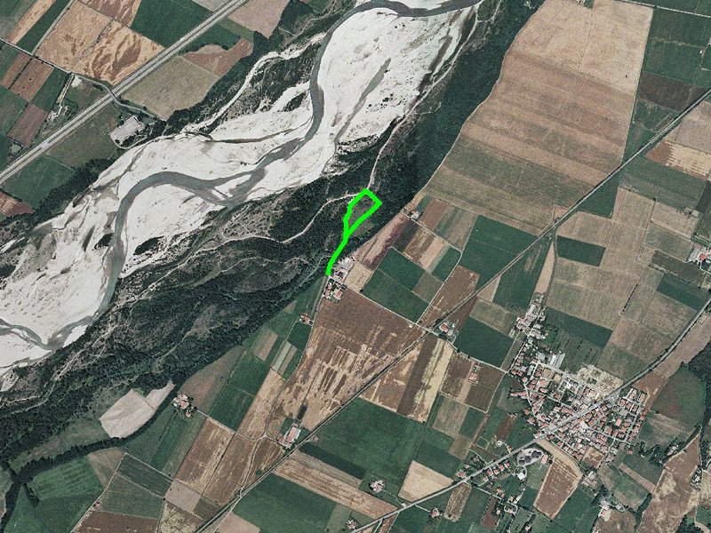
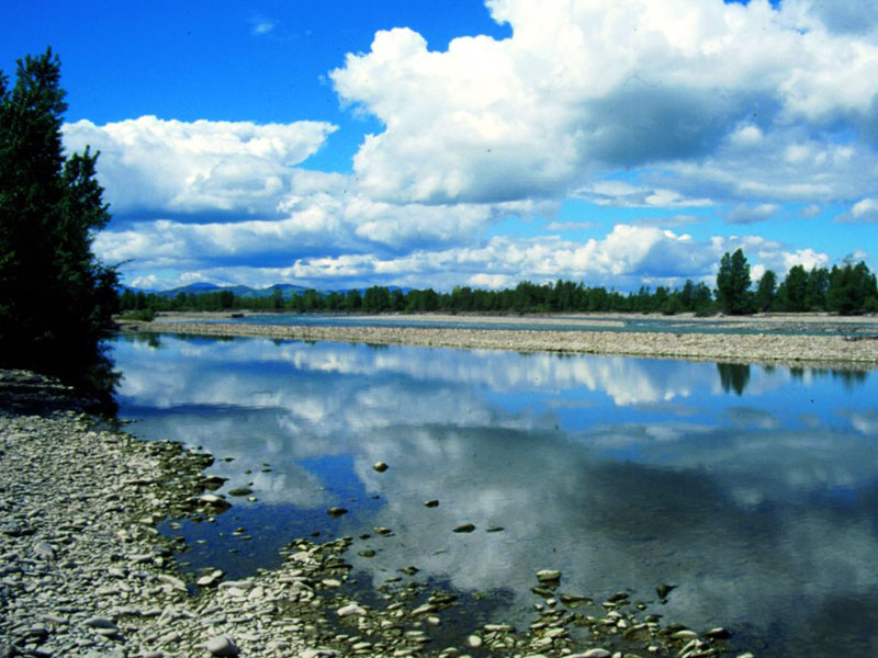
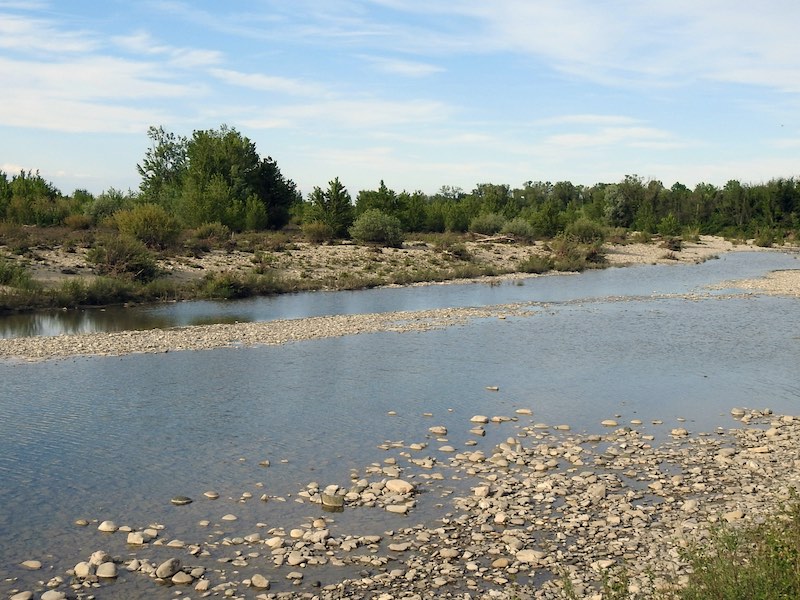
The Park extends along the river Taro, in its stretch developing in the upper plain. The large riverbed wanders and the water covers the surrounding mattress of gravel. The banks of the watercourse in general tower above the riverbed and are characterized by a mosaic vegetation covering.
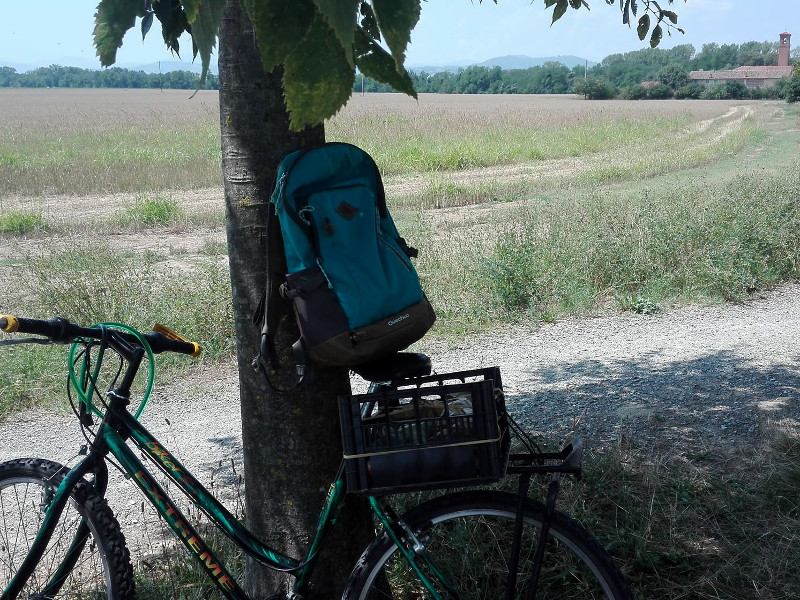
Along the 20 km of river, 10 trails develop to promote the visit to the Park. Most of the trail network develops on the right bank of the river: this depends on the greater extension of the river section of the Park. These trails have been obtained from the pre-existing trails used for the extraction activities and from the trail network produced over the centuries by the continuous human passage.
Giarola Path
Itinerary 1
Typology: On foot
Difficulty Level: easy
Duration: 1 h 30 m
Interest: Flora, Wildlife, Panorama
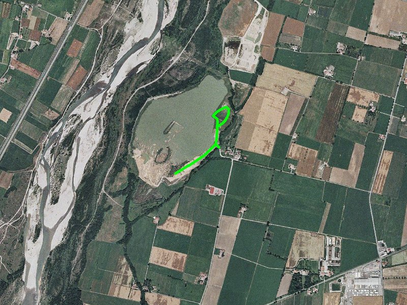
Oppiano Path
Itinerary 2
Typology: On foot
Difficulty Level: easy
Duration: 2 h
Interest: Flora, Wildlife, Panorama
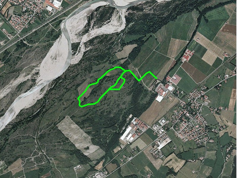
Medesano Path
Itinerary 4
Typology: On foot
Difficulty Level: easy
Duration: 1 h 30 m
Interest: Flora, Wildlife
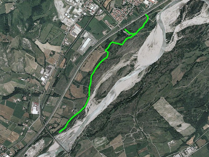
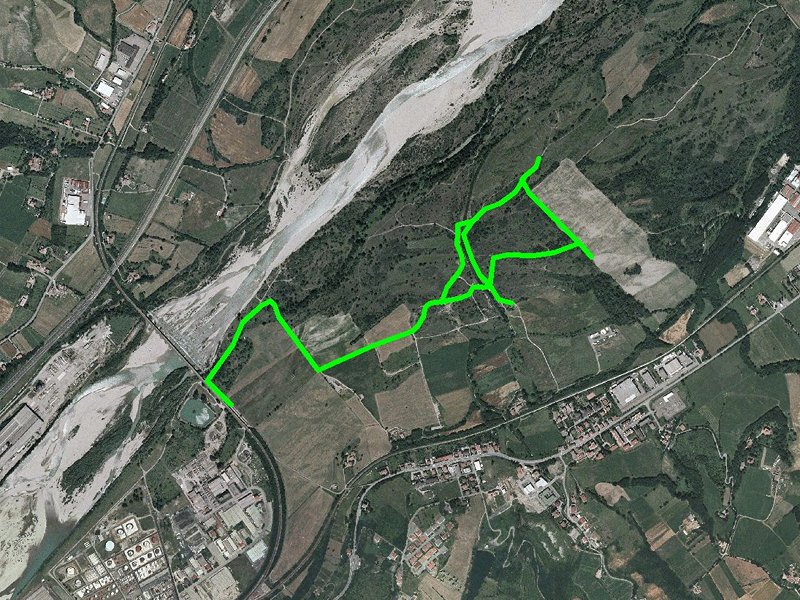
Fornovo Path
Itinerary 7
Typology: On foot
Difficulty Level: easy
Duration: 2 h
Interest: Flora, Wildlife
Via Francigena
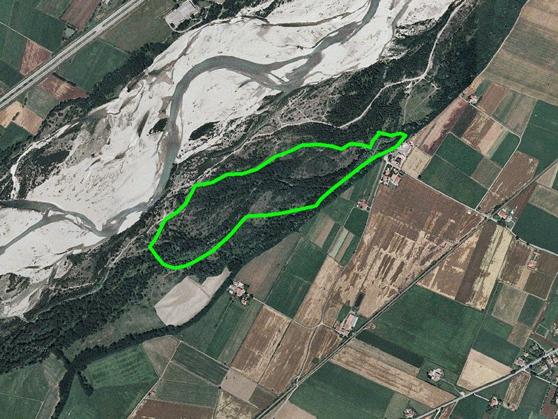
Map with georeferenced itinerary
Typology: On foot
From Parma to Fornovo - "Along Taro" alternative route
Departure: Parma, Stazione ferroviaria
Map with georeferenced itinerary
Typology: On foot
Difficulty Level: easy


© 2024 - Ente di gestione per i Parchi e la Biodiversità - Emilia Occidentale