


3. Landscape and athletic route
- Trail Conditions: On foot
- Interest: Panorama
- Duration: about one and a half hours
- Difficulty Level: Difficult due to its length and muddy in case of rain. Short asphalted stretch
- Length: 6.5 km
- Difference in height: Uphill 224m - Downhill 224m
Places of interest: the path onto the badlands' ridge, the Tanaccia cave
The itinerary departs from the parking lot with the four pines in the Via Rontana looking onto the badlands, about 1.9 km far from the train station. Turn left climbing down the asphalted road for 150 m. Turn left again and follow the street for about 800 m, and once you reach the bottom turn right and follow a flat dirt road for 800 m.
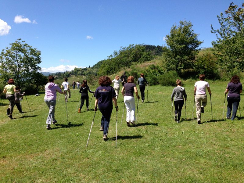
Nordic Walking


© 2024 - Ente di gestione per i Parchi e la Biodiversità - Romagna