Protected Area
Identity Card
- Land Surface Area: 304.00 ha
- Regions: Friuli Venezia Giulia
- Provinces: Pordenone
- Municipalities: Andreis, Barcis, Montereale Valcellina
- Establishment Measures: LR 13 09/11/1998
- PA Official List: EUAP0682
- Park Authority: Ente Parco Naturale Regionale delle Dolomiti Friulane
- Further information: http://www.turismo.fvg.it
- Scientific Data
The Reserve
Forra del Cellina Nature Reserve is managed by Parco Naturale delle Dolomiti Friulane (www.parcodolomitifriulane.it).
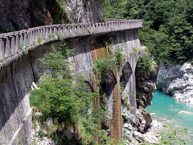
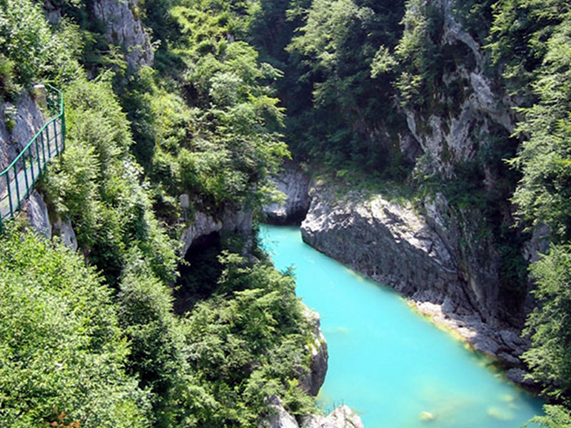
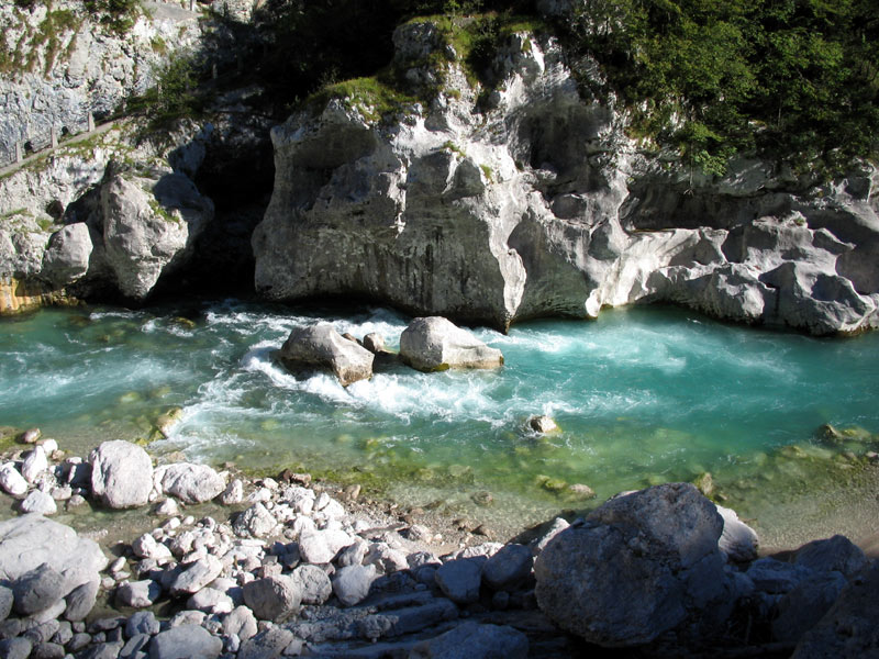
The reserve includes the most significant section of the valley dug by the stream Cellina in the Cretaceous limestones, which forms the mountains situated between Barcis and Montereale Valcellina, in the province of Pordenone. The valley has the morphological aspect of a big canyon, the largest of the region and without a doubt one of the most spectacular in Italy.
The territory of the Reserve covers an area of about 304 hectares and includes: the upper stretch of the sluice channel of the stream Cellina downstream the basin of Barcis, the narrow ravine of the stream Molassa, the westernmost section of the woodland called "Fara" on the northern slope of Mt. Fara (1,342m above sea level), an area with steep rocky walls on the northern slope of Mt. I Cameroni (1,470m above sea level), called I Pics. These areas are dominated by carbonate rocks (limestones) from the Cretaceous period. Moreover, northwards, the Reserve also includes a territory with undulated morphology situated between borgata Molassa and loc. Ponte Antoi, where marly-arenaceous rocks dominate, called loc. Dint.
Geology
On the vertical walls of the deep ravines of the Reserve, the morphology linked to water erosion is well documented: pot holes and smooth rocks characterize the lower and middle section of the slopes, while in the upper sections they are concealed, canceled and replaced by a landscape shaped by rock fractures, by the action of frost and thaw, and by gravity. Most of the territory of the Reserve consists of carbonate rocks which favored dissolution phenomena leading to the formation of karstic-like morphologies.
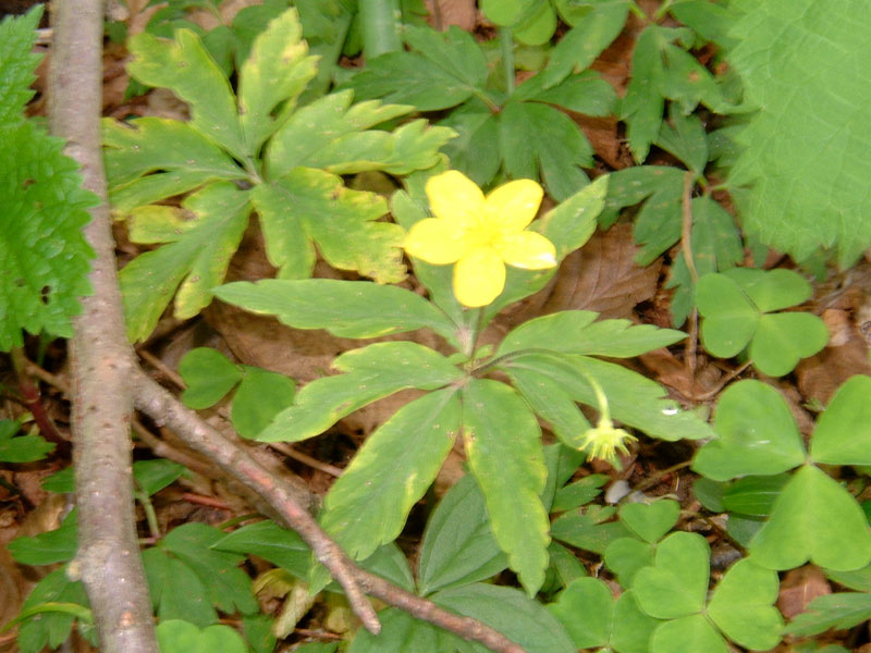
Vegetation
The Reserve is characterized by some floristic and vegetation aspects linked to the particular microclimatic conditions of the area given to the variable exposure of the slopes, diversified geological and soil conditions, and altitudes going from the 315-350m above sea level of the valley bottoms to the 1,470m above sea level of the summit of Mt. I Cameroni.
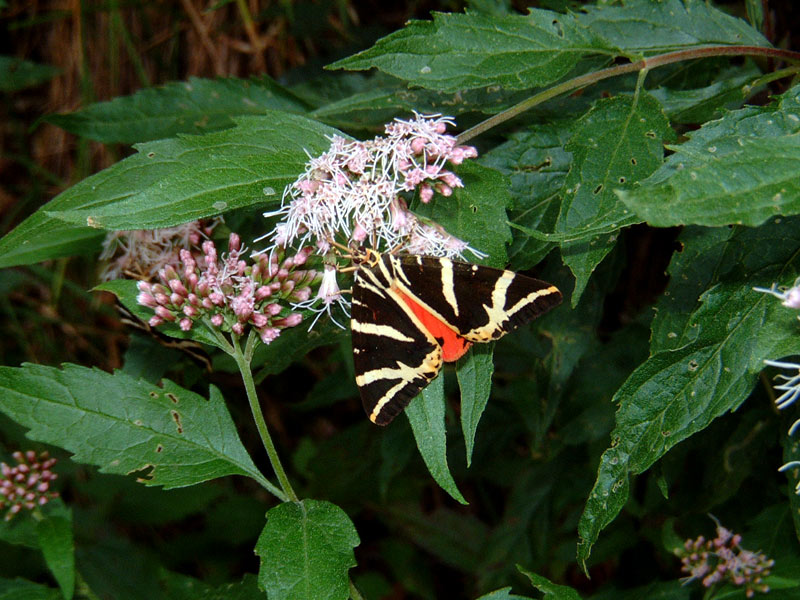
Of particular interest, the ravine undergrowth with hop hornbeam (Ostrya carpinifolia), yew (Taxus baccata), Lemon Lily (Hemerocallis lilio-asphodelus) and the rosacea Spiraea decumbens ssp. Tormentosa.
Fauna
The fauna living in the Reserve presents several species which is difficult to find in similar environments. The abandonment of human activities and the particular morphological conformation of the protected area enabled a rapid development of the animal population, above all of the most suspicious species.