

Itineraries
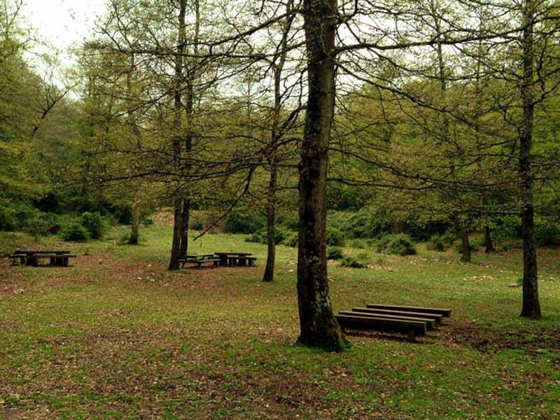
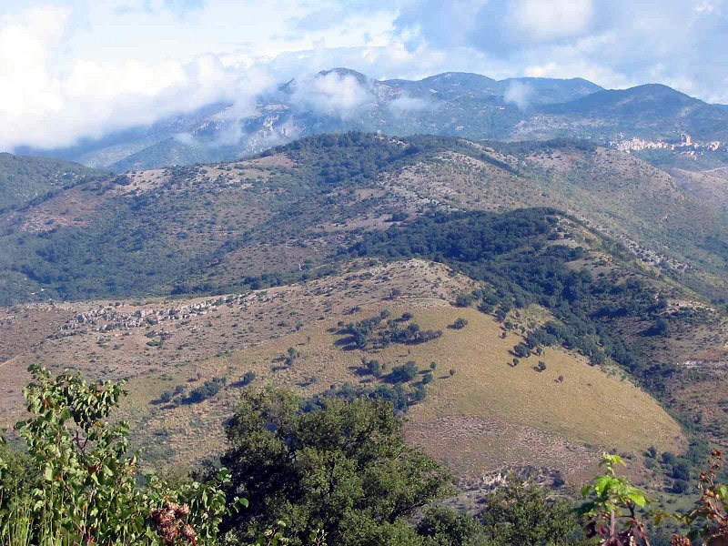
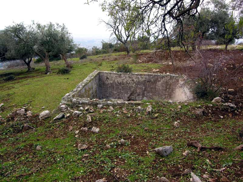
Monte Catillo Nature Reserve dominates the Municipality of Tivoli and offers unforgettable walks in an environment of great naturalistic value for the variety of botanical and wildlife species. It is also interesting for hiking, since along its trails you can enjoy wonderful panoramas over the Roman countryside, Valle dell'Aniene, and beyond, up to the first spurs of the Apennines.
Trail 330: Uphill Path to Don Bosco Village - Colle Lucco
Departure: Tivoli
Typology: On foot
Difficulty Level: intermediate/easy
Duration: 2 h
Interest: Geology, Panorama
Typology: On foot
Difficulty Level: intermediate/easy
Duration: 2 h
Interest: Geology, Panorama
Typology: On foot
Difficulty Level: demanding with difficult stretches
Duration: 2 h
Interest: Flora, Panorama
Typology: On foot
Difficulty Level: easy
Duration: 30 m
Typology: On foot
Difficulty Level: intermediate/easy
Duration: 30 m
Interest: Panorama
With GPS in Monte Catillo Nature Reserve
The tracks have been elaborated by walking along the trails suggested in the Hiking Map of Monte Catillo Nature Reserve. The tracks have been elaborated with the program TRACKMAKER© enabling the exportation of track files in the format for your own GPS.
For information: servizioambiente@provincia.roma.it - areeprotette@provincia.roma.it


© 2024 - Città Metropolitana di Roma Capitale