Protected Area
Identity Card
- Land Surface Area: 1'518.28 ha
- Lower altitude (m): 750
- Higher altitude (m): 2'388
- Regions: Piemonte
- Provinces: Biella
- Municipalities: Biella
- Establishment Measures: L.R. n. 5 28/02/2005
- PA Official List: EUAP0882
- Park Authority: Ente di gestione dei Sacri Monti
The Reserve
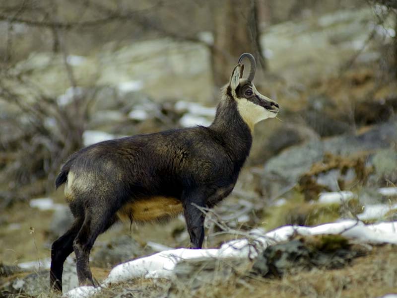
The Reserve develops within Oropa Basin from an altitude of 814 meters to the summit of the surrounding mountains reaching the 2,400 meters above sea level. The slopes of Mt. Mucrone, Mt. Camino and Mt. Rosso are covered in their highest stretches with large grasslands consisting of nards, shrub formations with Green Alder and Rhododendron. While going towards the bottom of the valley, these formations alternate with invasive Birch in the abandoned meadows and grazing lands; the area of the Sanctuary and Sacred Mountain is surrounded by forest formations dominated by Beech tree - sometimes pure, but usually mixed with Sycamore Maple and Ash tree at lower altitudes and with Golden Chain tree and Mountain Ash at higher altitudes. Locally, between the 1,600 and 1,700 meters, there are populations of Bog Pine introduced by man. Recent floristic research has given the opportunity to determine that in Oropa basin there are almost 800 species, a very high number given by the variety of the existing environments.
The establishment of Riserva naturale speciale del Sacro Monte di Oropa must be considered an integral part of the conservation and enhancement project started by Regione Valle d'Aosta with the establishment of Riserva naturale regionale del Monte Mars in 1993; this action is part of the project of the National Ecological Network activated by the Italian Department of the Environment in 1999, according to which it is necessary to create an alpine territorial system where it is possible to direct integrated and total policies aimed at the conservation and enhancement of the natural resources and system strategies regarding all the local environmental and cultural elements. The system consisting of the two Protected Areas involves the territorial and landscape context where the ancient procession held every 5 years from Fontainemore to Oropa develops.
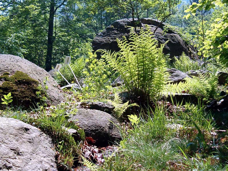
Vegetation
Analyzing the landscape of the Sacred Mountain, it is interesting to notice how vegetation represents an occasion to discover one of the integral parts of the sacred architectural project, although not the priority. The area of Mt. Oretto (that's the name of the mountain where the chapels lie) has been characterized by forest and animal breeding activities: the lower part was used as a pasture, the upper part as a forest, mainly a beech tree forest.
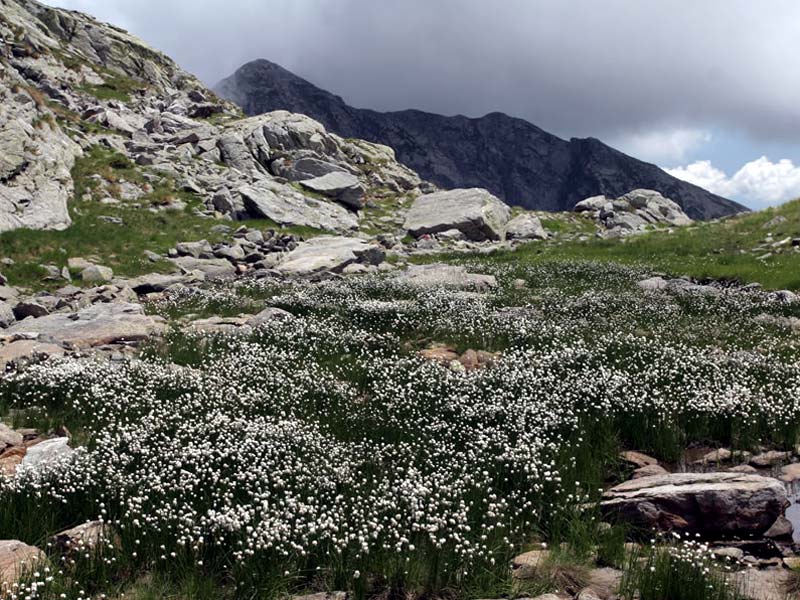
The Environment
Oropa basin forms the charming environmental and landscape setting of the Sanctuary and Sacred Mountain complex. The area is a Site of Regional Interest signaled by the Project Bioitaly of the Italian Ministry of the Environment.