Protected Area
Identity Card
- Tevere Farfa Nature Reserve:
- Land Surface Area: 705.00 ha
- Regions: Lazio
- Provinces: Roma
- Municipalities: Montopoli di Sabina, Nazzano, Torrita Tiberina
- Establishment Measures: LR 21 04/04/1979 - LR 27 5/10/99
- PA Official List: EUAP0269
- Park Authority: Ente Riserva Naturale Regionale Nazzano Tevere Farfa
- Further managed Protected Areas:
- Zona Speciale di Conservazione e Zona di Protezione Speciale Riserva naturale Tevere Farfa
The Natural Environment
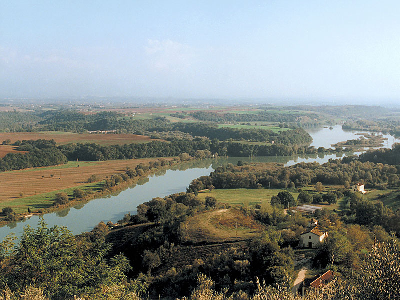
The river valley, typically alluvial with clay, sand, and gravel deposits, is delimited with not very high hills formed by sediments of marine origin. The rich presence of birds in the area of the lake represents one of the main interesting features for visitors.
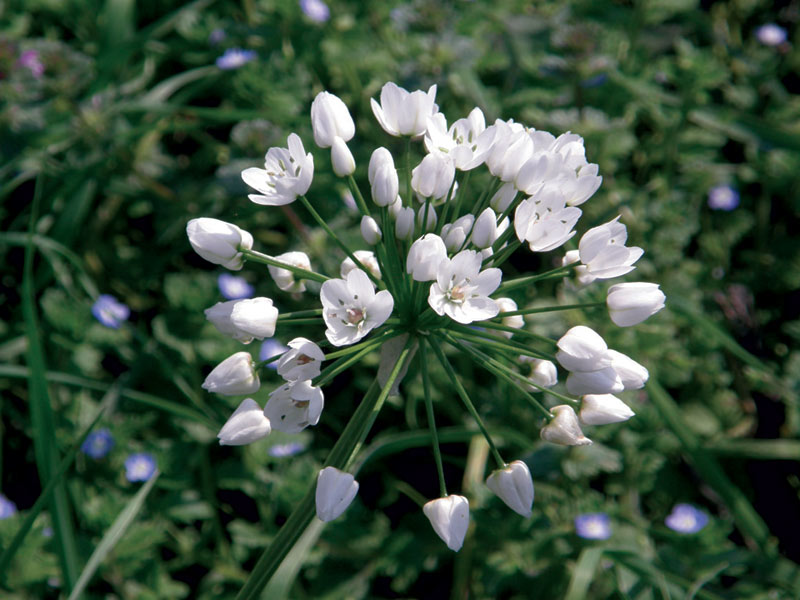
Besides ducks like the Mallard, the Eurasian Teal, the Eurasian Wigeon and the Ferruginous Duck, it is possible to observe the Great Crested Grebe, the Coot, the Kingfisher, and birds of prey like the Marsh Harrier and the Osprey. The cane thicket, mainly dominated by common reed and bulrush, is sometimes enriched by the yellow flag, while on the clayey soils, among the roots of the white willows and the purple willow, we can find the greater burdock and the equisetum with its characteristic horse-shoe shape.

Territory
The Nature Reserve is situated at the border between the Provinces of Rome and Rieti, in the territory of the Municipalities of Nazzano, Torrita Tiberina, and Montopoli di Sabina, along the lower course of the river Tiber.
The maximum height that can be found in the protected area is of 202 meters above sea level, corresponding to the hill on the right of Nazzano, while the minimum height is of 30 meters above sea level and refers to the surface of the Lake.
Starting from the north and going in a clockwise direction, from the Bridge of Montorso in the Municipality of Torrita Tiberina, its perimeter is delimited by the railway line Rome-Orte, by the ENEL dam in Nazzano, by the SP road Tiberina up to km 31.000. From here the border of the Nature Reserve bends towards the towns of Nazzano and Torrita Tiberina and, following the loops of the river Tiber, ends at the Bridge of Montorso. The Municipality of Montopoli di Sabina lies far from the protected area.
The Reserve covers an area of about 700 hectares, half of which is occupied by the river bends, by Nazzano Lake, and by the last stretch of the stream Farfa flowing into the river Tiber, on its left bank, at about 1,500 meters from the ENEL dam.
History
Between 1953 and 1955 ENEL built a barrage on the river Tiber, exactly downstream the confluence with the stream Farfa, for the production of electricity.
After the building of the dam, upstream, the water level rose flooding the surrounding lands. As a consequence, a sort of "lake" covering about 300 hectares formed: this lake welcomes a great number of bird species during the migration period.