Parks.it Homepage

Parco Regionale Abbazia di Monteveglio

enteparchi.bo.it
 

Itineraries

The Park Itineraries

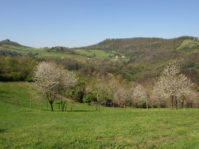
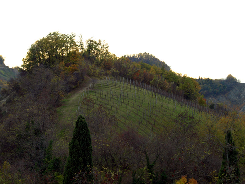
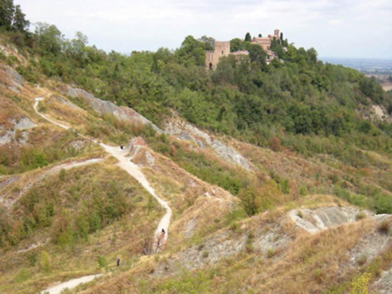
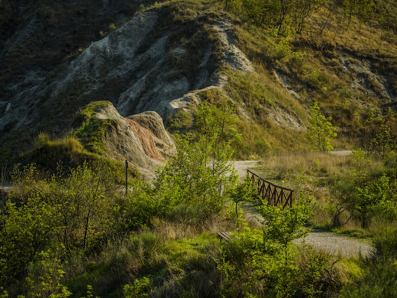
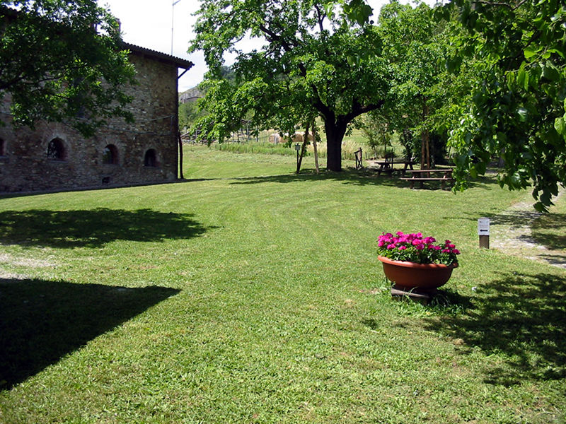
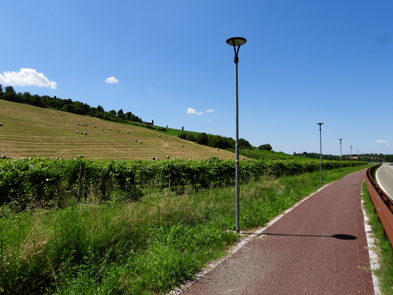
The nature trails are thematic routes designed to give visitors the opportunity of discovering environments or aspects of special interest and importance for the territory.
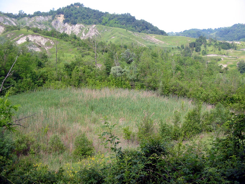
There are various stations positioned along each route illustrating the trail's general areas of interest and providing detailed recommendations on what to look for regarding the distinctive natural, historical or landscape features located near the individual stations.

The park has four nature trails focusing attention on particular themes or environments within the protected area, with carefully planned and equipped stops where the most interesting geographical features and key pathways are indicated.

PDF Download the map

Further information


The Park Itineraries
Nature Path - The Colle della Cucherla
Departure: Cimitero Monteveglio alto
Map with georeferenced itinerary
Typology: On foot
Difficulty Level: E
Duration: 40 m
Interest: Flora, Panorama, History
Nature Trail - Africa and the old farms
Departure: Cimitero Monteveglio alto
Map with georeferenced itinerary
Typology: On foot
Difficulty Level: E - Hiking (level)
Duration: 1 h
Interest: Flora, Panorama, History
Nature Trail - Rio Ramato and Calanchi dell'Africa
Departure: Parcheggio viale dei Martiri
Map with georeferenced itinerary
Typology: On foot
Difficulty Level: E - Hiking (level)
Duration: 2 h 30 m
Interest: Flora, Wildlife, Photography
Nature Trail - The Courtyard and the Meadows of San Teodoro
Map with georeferenced itinerary
Typology: On foot
Difficulty Level: E - Hiking (level)
Duration: 20'
Interest: Flora, History
Nature Trail - Climb to the Castle and the Abbey
Departure: Parcheggio viale dei Martiri
Map with georeferenced itinerary
Typology: On foot
Difficulty Level: E - Hiking (level)
Duration: 40 m
Interest: Flora, Religion, History
Nature Trail - Corte d'Aibo and the slopes of Monte Morello
Departure: Azienda agrituristica Corte d'Aibo
Map with georeferenced itinerary
Typology: On foot
Difficulty Level: E - Hiking (level)
Duration: 2 h
Interest: Flora, Geology
Ciclovie dei Parchi - The Monteveglio Cycling Route
Departure: Stazione FER di Bazzano
Map with georeferenced itinerary
Typology: By bike
Difficulty Level: intermediate
Duration: 4 h
Interest: Panorama, Religion, History
share-stampashare-mailQR Codeshare-facebookshare-twitter
© 2024 - Ente di gestione per i Parchi e la Biodiversità - Emilia Orientale