

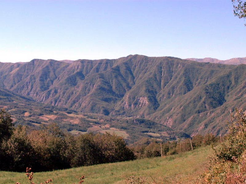
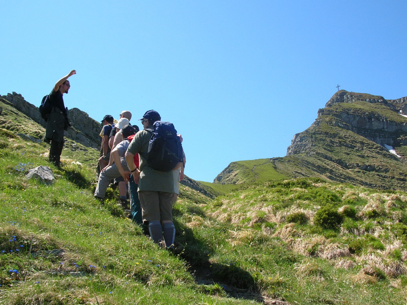
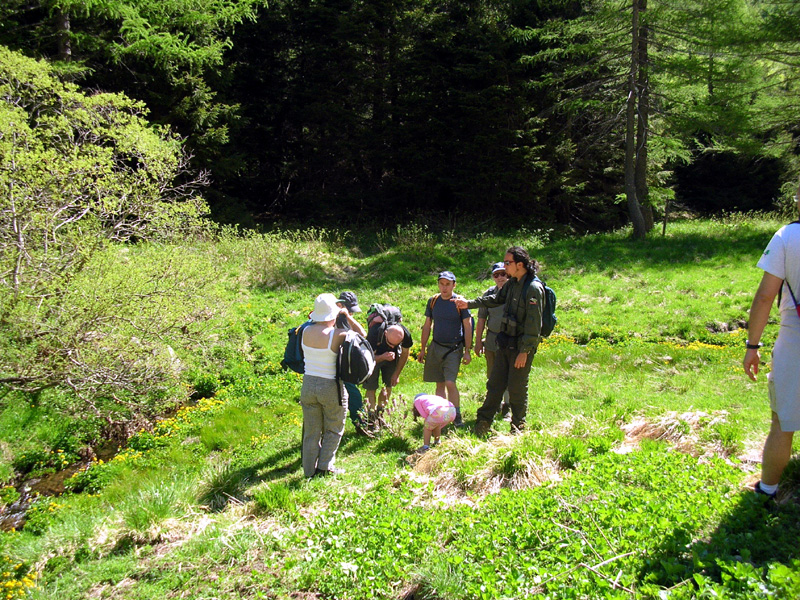
The itineraries are mainly walks and hiking trails throughout the various sections of the park's protected area to admire its main outcrops, often along routes having great historical importance.
In certain cases, mountain bikes or road bikes may be used on the longer routes that are primarily along paved, low traffic roads or dirt roads.
Immersed in the comforting silence of the hills, the park's routes share common features: a level of difficulty that is never too challenging and a wide variety of environments.
Itineraries
Itineraries and Trails
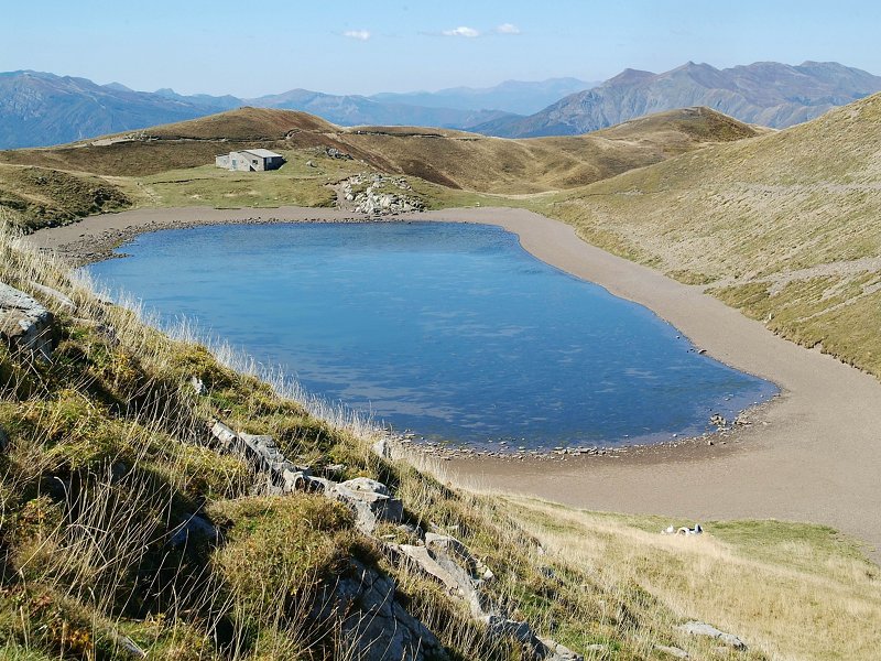
Riva Mountains and Pratignano Lake
Poggiolforato - Pratignano Lake - Riva Pass - Dardagna Falls - Poggiolforato
Departure: Poggiolforato
Map with georeferenced itinerary
Typology: On foot
Difficulty Level: EE - For expert hikers
Duration: 6 h
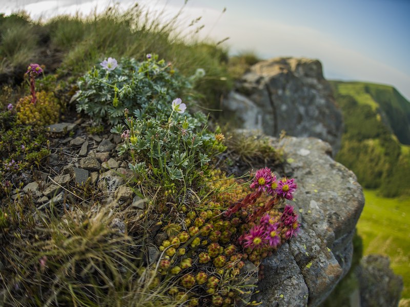
Interest: Flora, Geology, Panorama
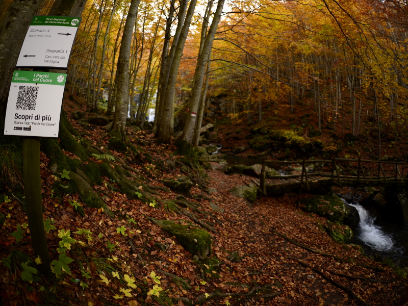
Dardagna Waterfalls and Madonna dell'Acero Sanctuary
Departure: Madonna dell'Acero
Map with georeferenced itinerary
Typology: On foot
Difficulty Level: T - Tourist (level)
Duration: 2 h 30 m
Interest: Flora, Geology, Panorama, Photography
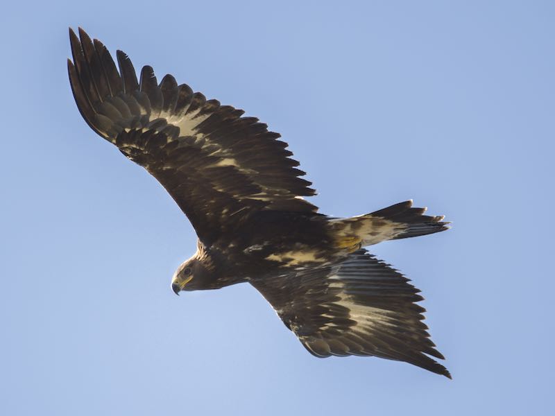
Flying with the Eagle
Baita del Sole - Monte Spigolino - Lago Scaffaiolo - Passo dello Strofinatoio - Rifugio Sasseto - Baita del Sole
Departure: Baita del Sole
Map with georeferenced itinerary
Typology: On foot
Difficulty Level: E - Hiking (level)
Duration: 6 h 30 m
Interest: Flora, Wildlife, Geology, Panorama
La Nuda and Corno alle Scale
Departure: Centro Visita Pian d'Ivo
Map with georeferenced itinerary
Typology: On foot
Duration: 5 h 30 m
Interest: Flora, Geology, Panorama
Mt. La Nuda
Departure: Pianaccio
Map with georeferenced itinerary
Typology: On foot
Duration: 5 h 30 m
Interest: Flora, Panorama
Mt. Pizzo
Departure: Lizzano in Belvedere
Map with georeferenced itinerary
Typology: On foot
Duration: 3 h
Interest: Flora, Geology, History
Sboccata dei Bagnadori and Mt. Grande
Departure: Pianaccio
Map with georeferenced itinerary
Typology: On foot
Duration: 4 h 30 m
Interest: Flora, Wildlife, Panorama
Upper Silla Valley and Mt. Gennaio
Departure: Rifugio Segavecchia
Map with georeferenced itinerary
Typology: On foot
Duration: 6 h
Interest: Flora, Wildlife, Geology, History
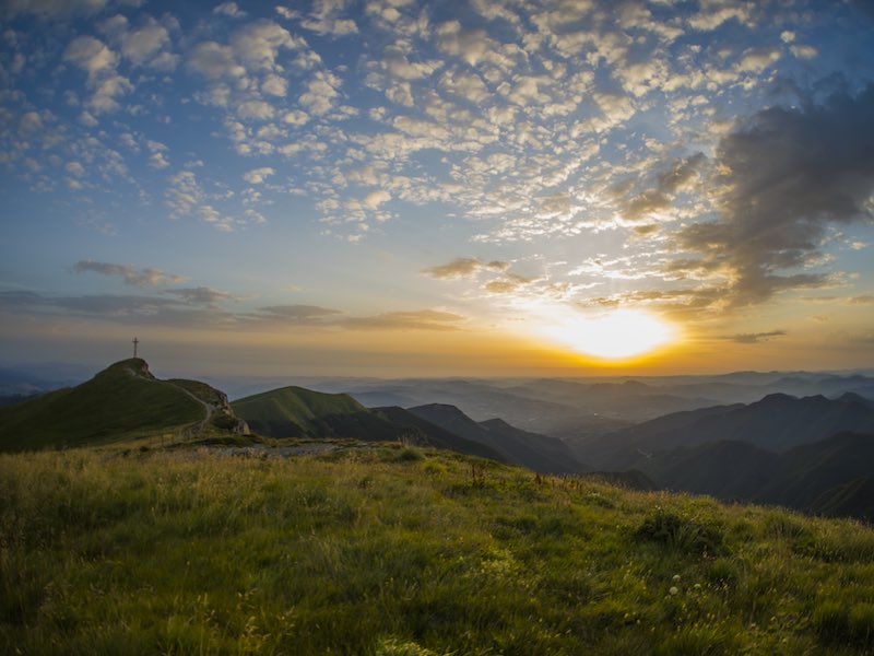
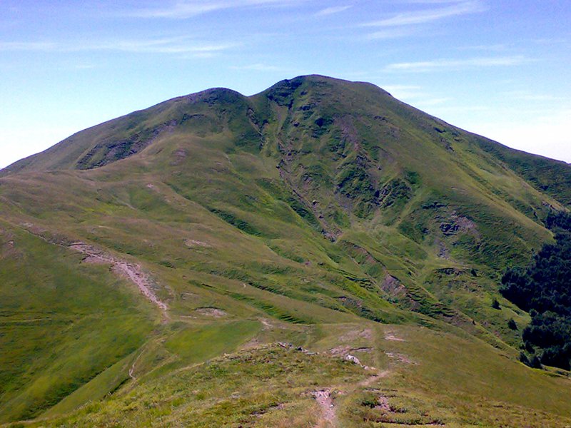
The Alta Via dei Parchi
A long hike in the northern Apennines
The Alta Via dei Parchi is a 27 stages long itinerary to be walked along the Apennines between Emilia-Romagna, Tuscany and the Marches.
10 - Lago Scaffaiolo - Rif. Monte Cavallo
The last stage in the Emilian high ridge landscape, this one starts the descent towards the valley of the Reno river and the Bologna area midmountains.
Departure: Lago Scaffaiolo
10 Lap of: Alta Via dei Parchi
Map with georeferenced itinerary
Typology: On foot
Duration: 5 h


© 2024 - Ente di gestione per i Parchi e la Biodiversità - Emilia Orientale