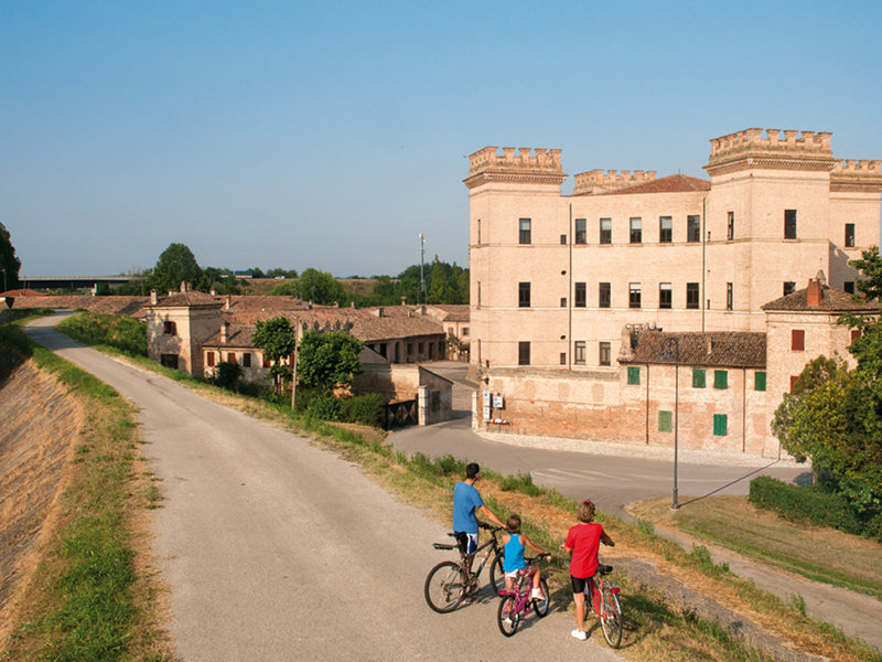
Points of Interest
Ravenna and its Mosaics
Today as in the past, the town of Ravenna stretches along the Adriatic coast and, with its precious mosaics, it looks like a jewel mounted in a green frame. It is a modern active town, but at the same time rich in glorious history.
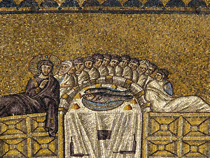
Ravenna flourished in the 5th – 6th century, when the Byzantine wind spread its magnificence on the Adriatic coasts: in 540 it became the capital of the Exarchate.
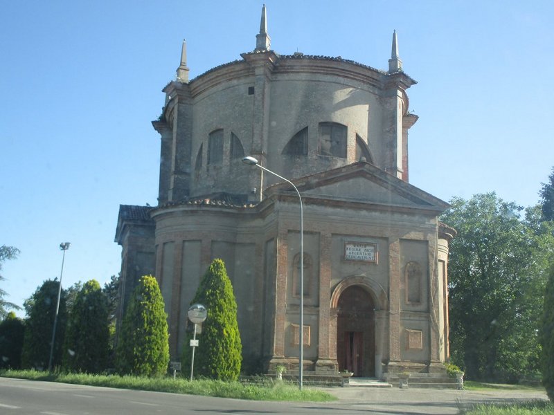
That extraordinary period is witnessed by several traces: the Mausoleum of Galla Placidia, the Church of San Giovanni Battista, the Neonian Baptistry, the Arian Baptistry, the Basilica of Spirito Santo, the Archiepiscopal Museum, Theodoric's Mausoleum, the wonderful basilica of San Vitale (an ancient Benedictine monastery, quoted in documents ever since the 10th century), Sant'Apollinare Nuovo and Sant'Apollinare in Classe. Their great mosaics, which were declared World Heritage by UNESCO, make Ravenna unique and famous all over the world; a casket of masterpieces of architecture and of late-ancient and late-medieval art.
Ravenna also houses Dante Alighieri's sepulchre, next to the church of San Francesco, as well as the seat of the Accademia delle Belle Arti and a Pinacoteca Comunale with important works of art. There are also important traces left by the Republic of Venice, such as the Rocca (fortress) and the central Piazza del Popolo square.
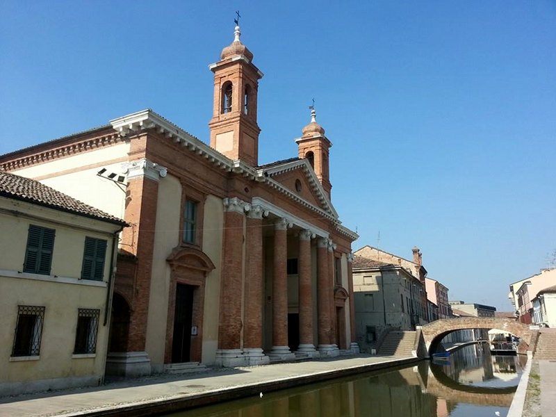
Comacchio Historical Town Center
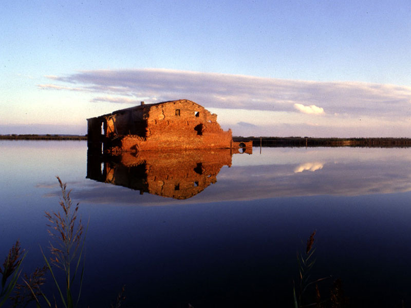
Comacchio still presents its original features as a lagoon town, crossed and surrounded by water for most of its perimeter; in the past, it could be even reached only by boat. The story of the town has always been linked to the exploitation of the vast lagoons and salt pans surrounding it.
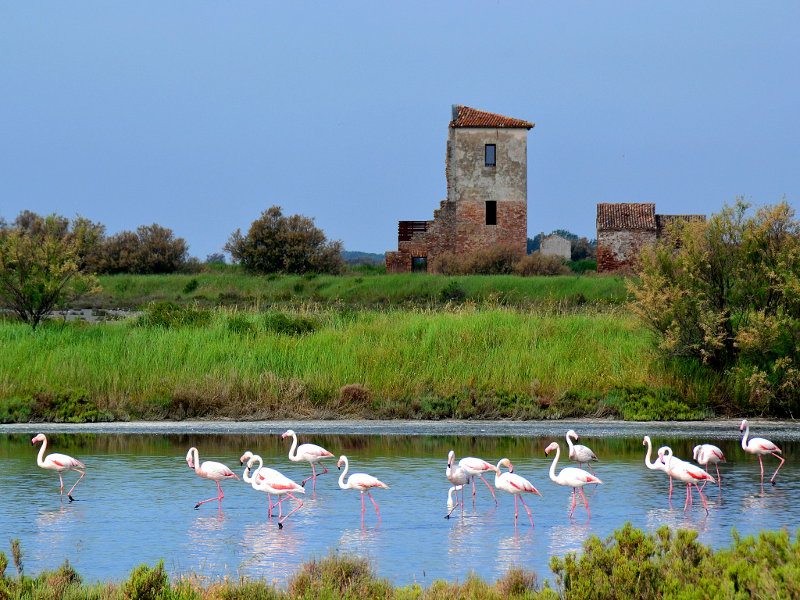
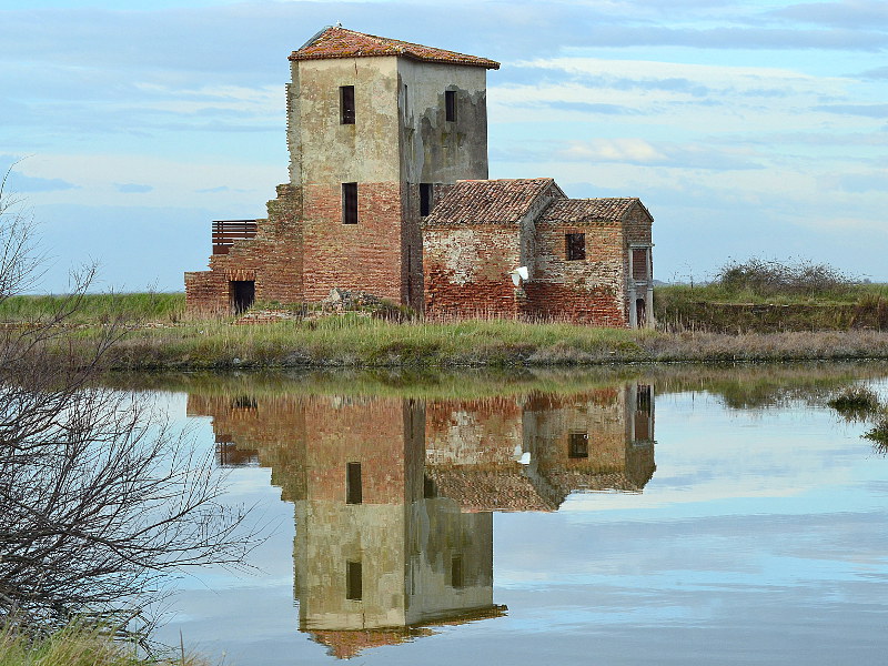
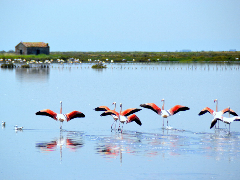
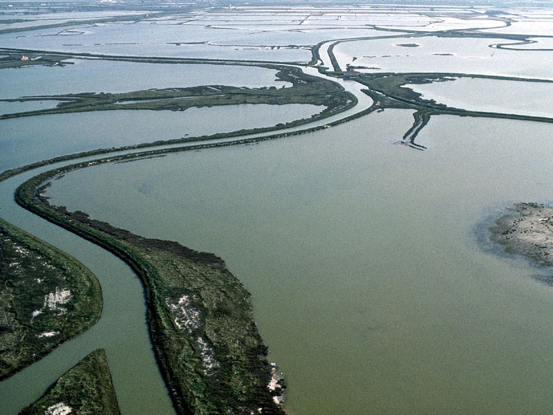
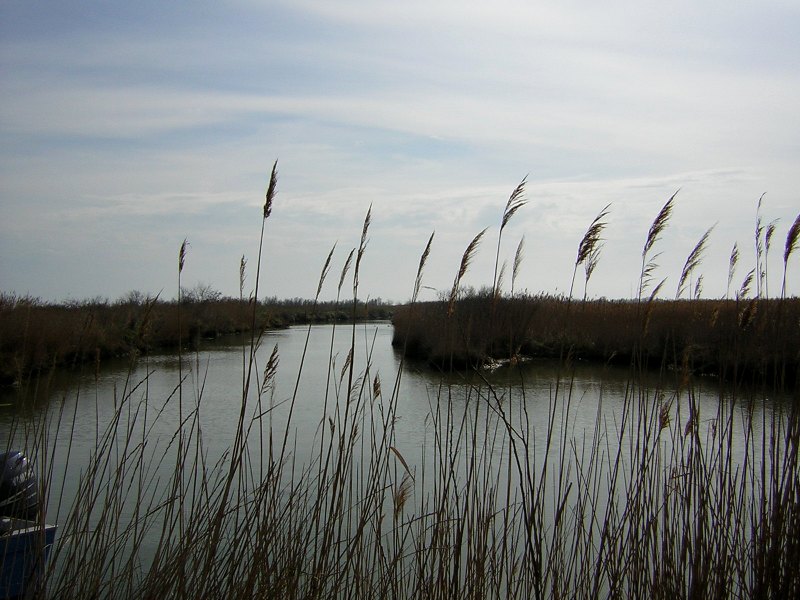
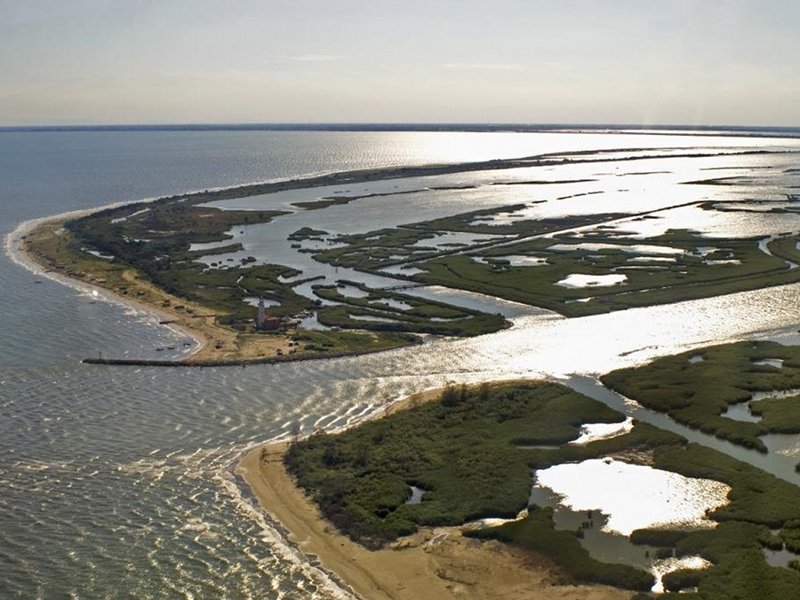
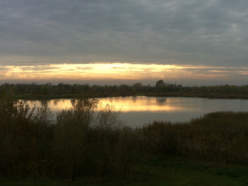
Valli di Comacchio
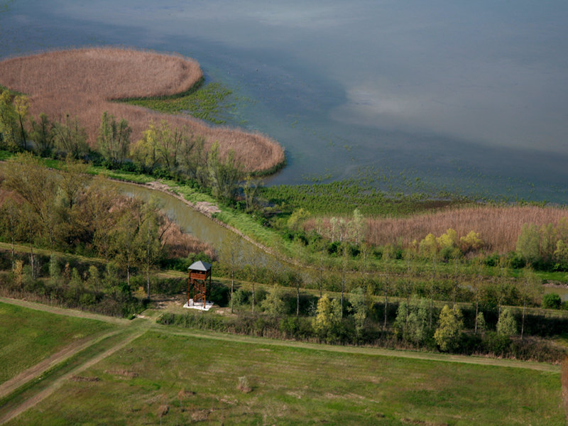
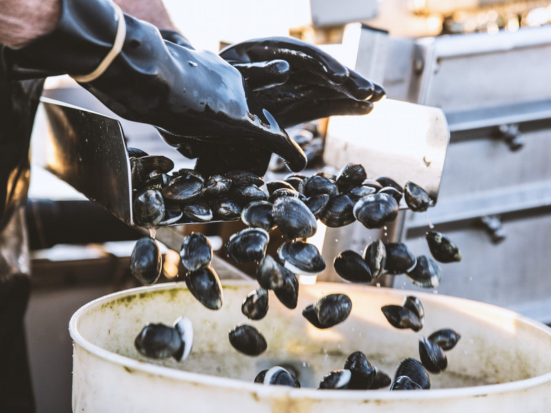
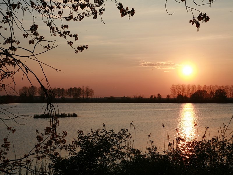
The Valli di Comacchio lagoons, central "station" of Parco del Delta del Po dell'Emilia – Romagna, were subject to reclamation works ever since the end of the 19th century, up to the latest works carried out around 1960. They are still formed by water expanses covering more than 13,000 hectares. The lagoons are crossed by banks and spotted with hills, and they present the typical halophilic vegetation of brackish environments, dominated by Salicornia Veneta and Common Sea-Lavender. Water is the basic element for several important traditional activities, such as the breeding and fishing of many fish species, especially eels.
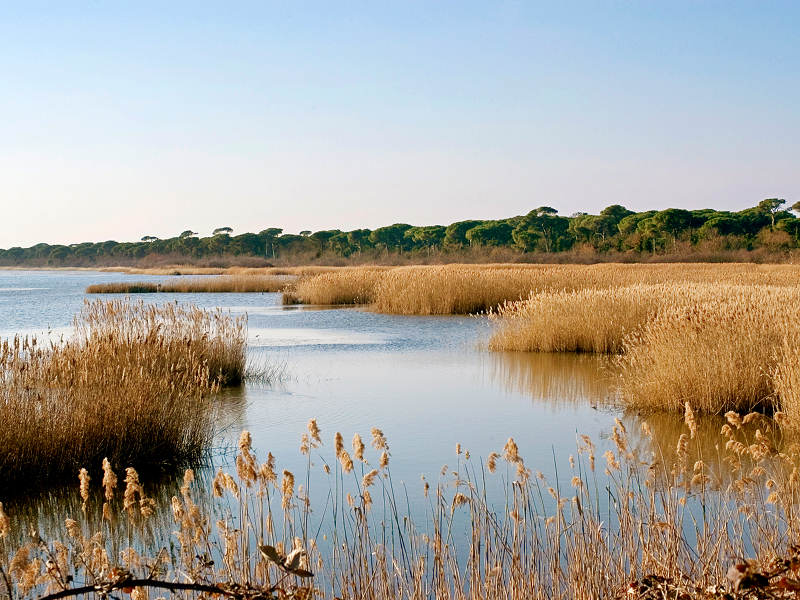
San Vitale Pinewood - Ravenna Wetlands
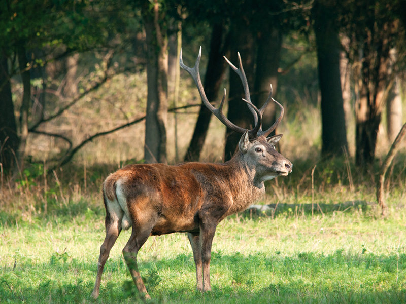
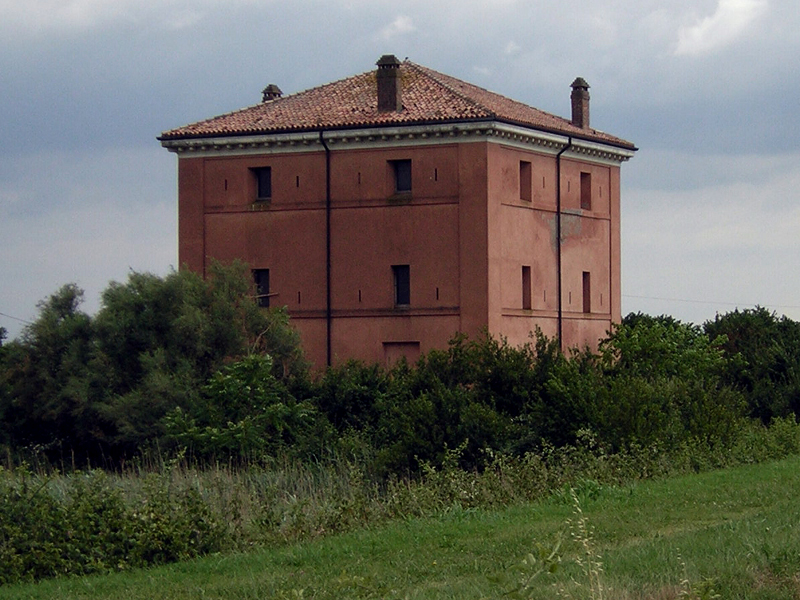
This Station covers about 11,000 hectares and is characterized by the interaction of nature and human activities; this has lead to the creation of a territory where natural elements live next to important historical evidence. The Station embodies some valuable natural areas, such as the vast San Vitale Pinewood, Pialasse of Ravenna (large brackish lagoons linked to the sea), the nature reserve of Punte Alberete with its extraordinary flooded forest, Valle Mandriole - kingdom of herons, the Pirottolo depression and the wonderful Bardello meadow.
Classe Pinewood - Cervia Salt Pans
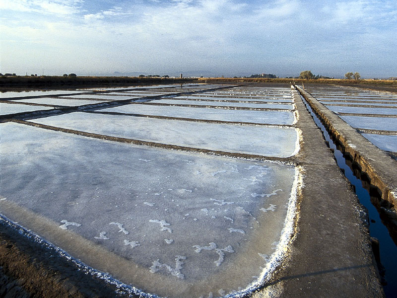
Cervia pinewood represents the last remains of an old forest which covered, almost without any interruption, the Adriatic coast from the river Reno to south of the town of Cervia. Its most representative arboreal species is the Stone Pine, whose umbrella-shaped foliage differentiates it from the Maritime pine, more common in coastal pinewoods. The Salt pans in Cervia are a 827 ha wetland, situated in a depression behind the coast and linked to the sea by two canals - Pino canal and Bova canal.
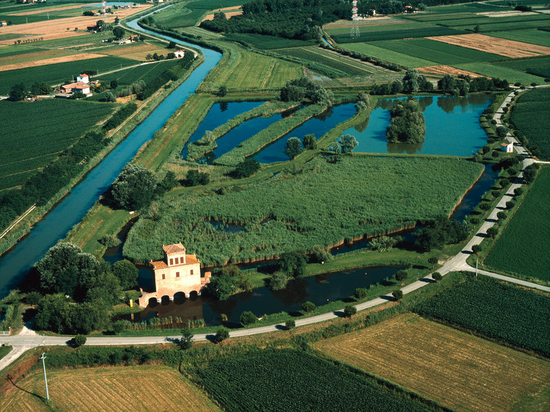
Campotto di Argenta
The lagoons called Valli di Argenta represent one of the few examples of fresh-water wetlands in continental Europe. These lands escaped reclamation thanks to their important hydraulic function, as they act as expansion basins holding the water of two of the river Reno's tributaries when it is in flood. The territory is crossed by a huge network of canals, which help regulating the flow of the water streams.
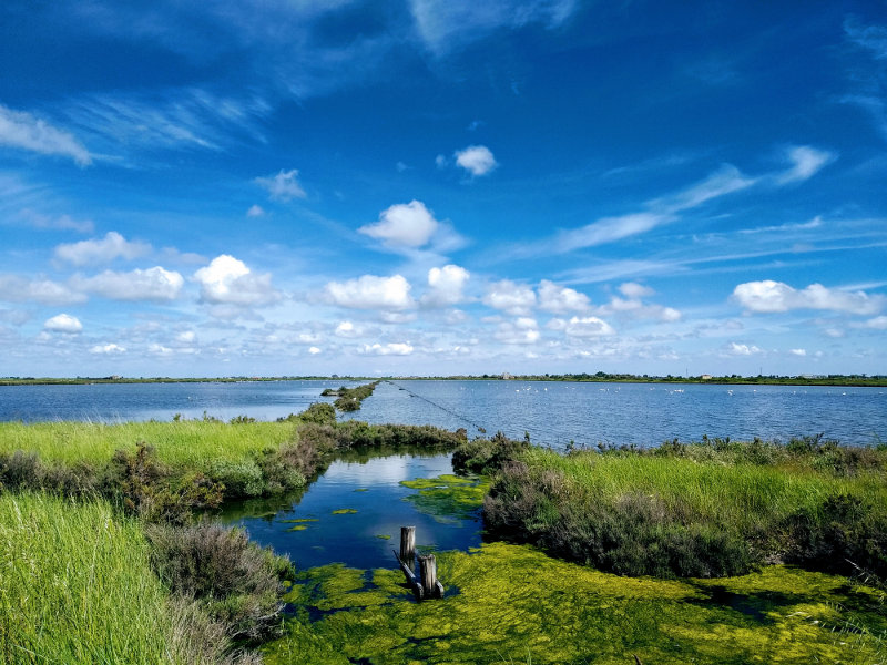
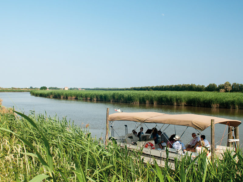
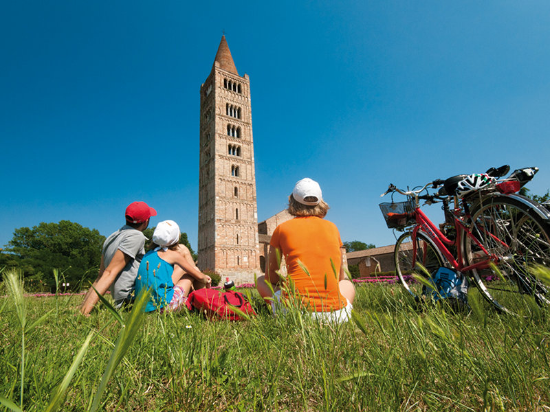
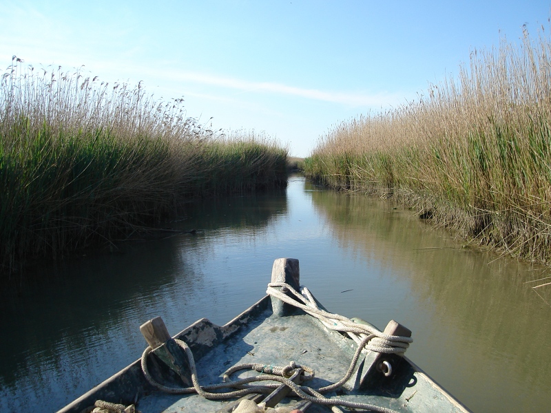
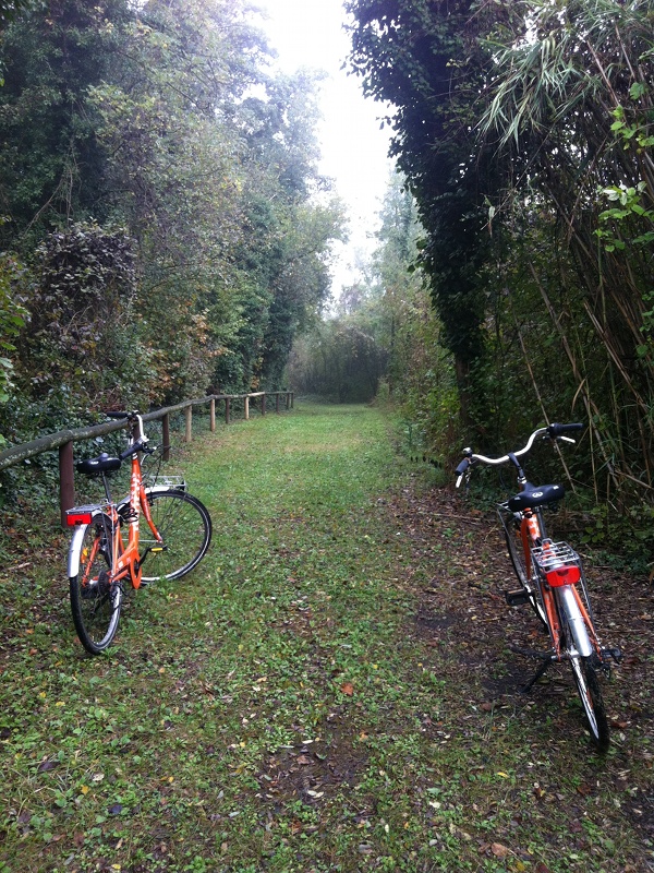
By boat and by bike in the Po Delta: Points of Interest
Blue and green. Land and sea. They chase and embrace each other in a unique flat area that has to be discovered. On two wheels or on a boat, to let yourself be lulled by the scents and the calls of birds, while your gaze runs to the horizon. A subtle balance between man and nature characterizes the Po Delta Park which, included in the UNESCO Heritage since 1999, protects 53.600 hectares, including the mouth of the Great River, wetlands, wooded areas, canals and sandy dunes in a territory that extends between Goro and Cervia.
Points of interest in Campotto di Argenta
One of the few examples in continental Europe of freshwater wetlands are the Valleys of Argenta, this area has been spared from reclamation thanks to the hydraulic functions it performs: the Argentinian valleys act as expansion tanks by retaining the flood waters of two tributaries when the Rhine river is in flood. The territory has a dense network of channels that allow regulation of the flow of watercourses.
This environment, of international importance according to the Ramsar Convention - in the Po Delta Park of Emilia - Romagna where there are 11 Ramsar areas - reflects in the vegetation and fauna those which, presumably, were the characteristics of the marshy areas that covered vast areas of the Po Valley. In the naturalistic oasis there are reeds and typhoes, wet meadows and the hygrophilous wood of the Traversante. Numerous birds are recalled by the particular vegetation situation of the site: red heron, squacco heron, spoonbill, osprey, whiskered tern are just some of the species that can be seen.

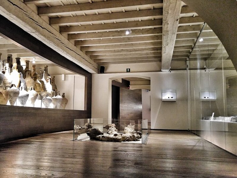
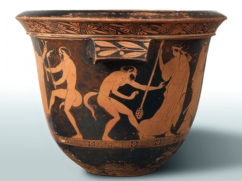
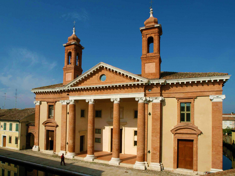
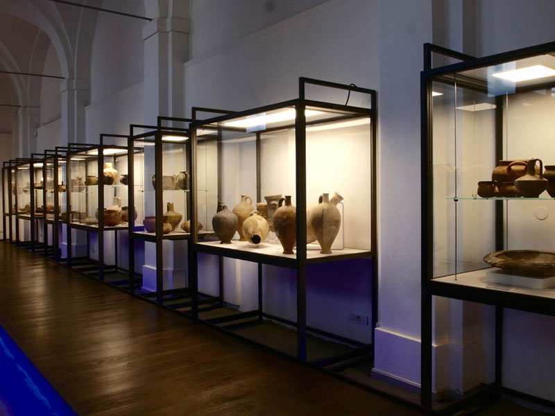
Delta Antico Museum of Comacchio
The Delta Antico Museum is located in the imposing neoclassical architecture of the XVIII century "Ospedale degli Infermi" (1771/1784), created by Antonio Foschini and Gaetano Genta. It constitutes one of the most significant and monumental buildings in the suggestive historical center of Comacchio.
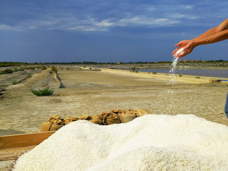
Salt mine of Comacchio
The Salt mine of Comacchio extends over an area of about 550 hectares in the north-eastern part of the Comacchio Valleys, withing the Park of the Emilia-Romagnia Po Delta. The whole area is characterized by elements of absolute environmental value and therefore subject to an articulated system of constraints and, since 2015, it is also recognized as a MAB zone by UNESCO, together with a large part of the Delta territory.