

Itineraries
Trail Network
Thanks to European resources obtained through the Community Program LEADER II (Liaison entre action de developpement de l'economie rurale), the Local Action Group Orvietano-Trasimeno has created some tourist-cultural and environmental itineraries giving everyone the opportunity to discover on foot, by bike, or by bus the territory stretching out from the lake to Trasimeno hills to the tufa plateau, between Orvieto and Bolsena.
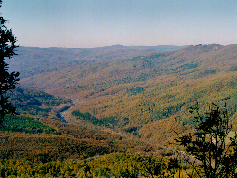
Elmo Trail
Departure: S. Faustino
Map with georeferenced itinerary
Typology: On foot, By bike, On horseback
Difficulty Level: E - Hiking (level)
Duration: 7 h 30 m
Interest: Flora
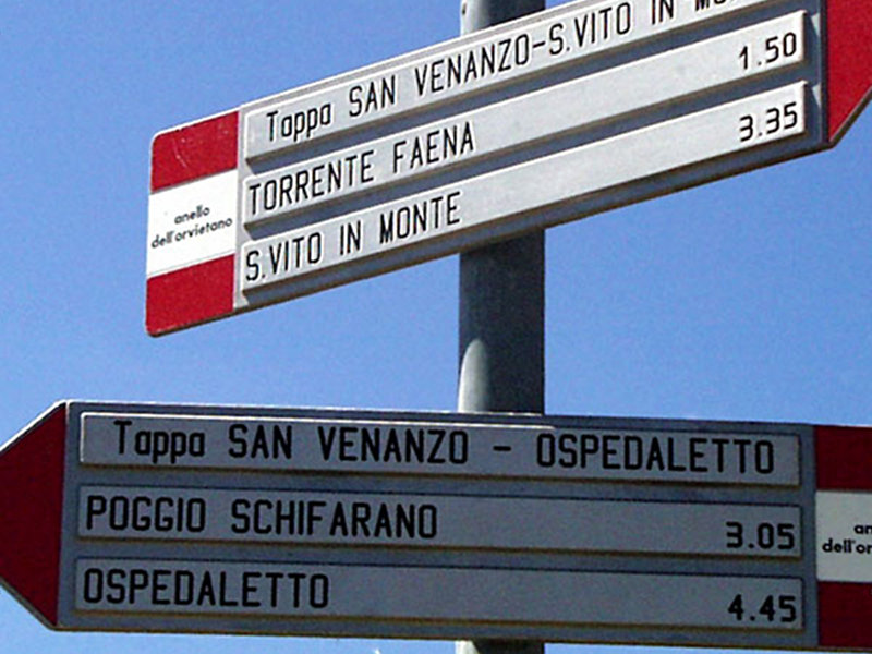
The Great Trail of Orvieto (GAO)
Departure: Orvieto
Map with georeferenced itinerary
Typology: On foot, By bike, On horseback
Difficulty Level: E - Hiking (level)
Duration: 11 days
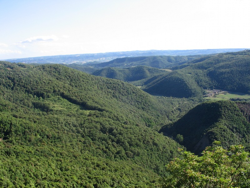
The Selva of Meana Trail
Departure: Meana
Map with georeferenced itinerary
Typology: On foot
Difficulty Level: E - Hiking (level)
Duration: 5 h
Interest: Flora, Panorama
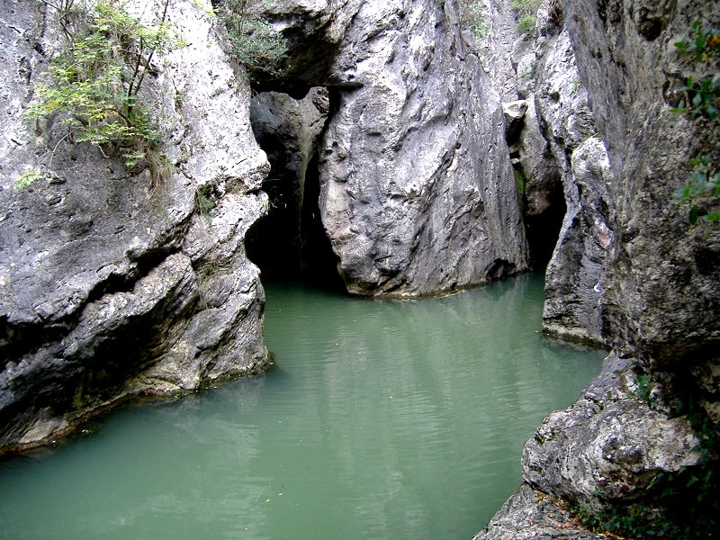
Trail of the 'Devil's Lairs'
Departure: Parrano
Map with georeferenced itinerary
Typology: On foot
Difficulty Level: EEA - For expert hikers
with equipment
with equipment
Duration: 4 h 30 m
Interest: Geology, Archeology
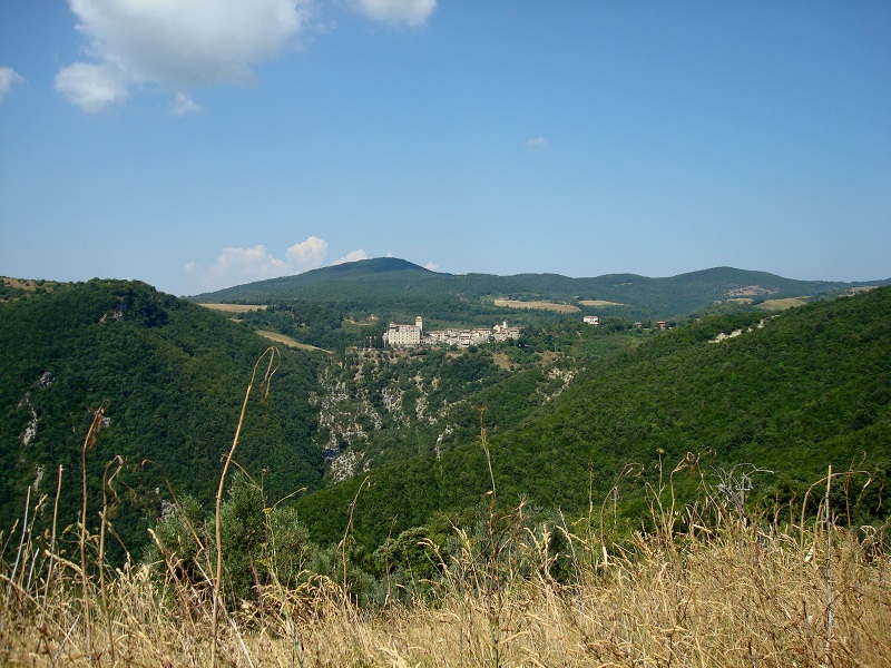
Villalba Trail
Departure: Villalba
Map with georeferenced itinerary
Typology: On foot
Difficulty Level: E - Hiking (level)
Duration: 5 h
Interest: Panorama
Typology: On foot
Difficulty Level: E - Hiking (level)
Duration: 4 h 30 m
Interest: Panorama, History


© 2024 - Regione Umbria