

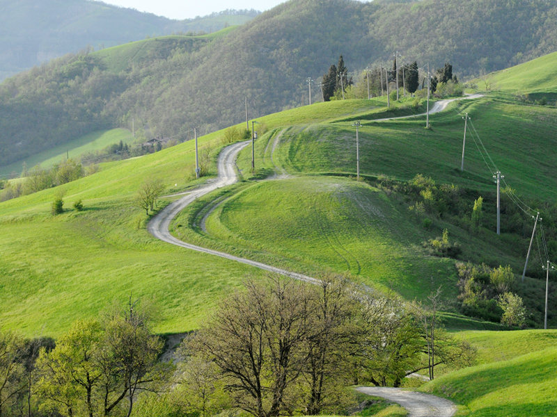
The park features a number of thematic itineraries that, at certain points, link up to each other, demonstrating the complex and fascinating nature of this territory.
The itineraries are clearly signed. Trail conditions may present seasonal difficulties, such as muddy or slippery tracts when wet.
These hikes require a basic fitness level and hiking boots suitable for light hiking activity.
Itineraries
Park Itineraries
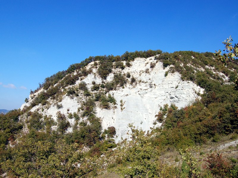
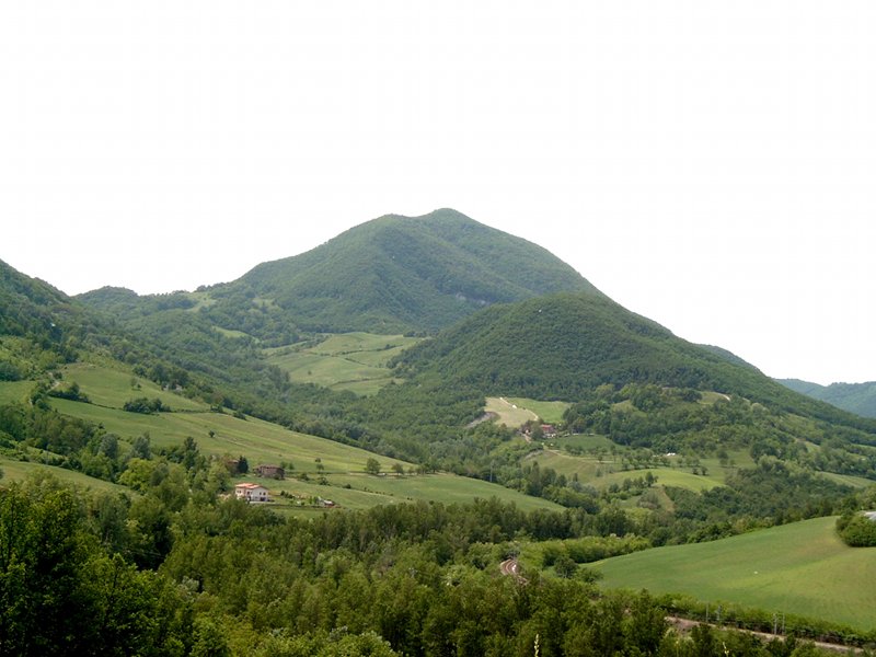
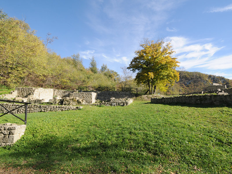
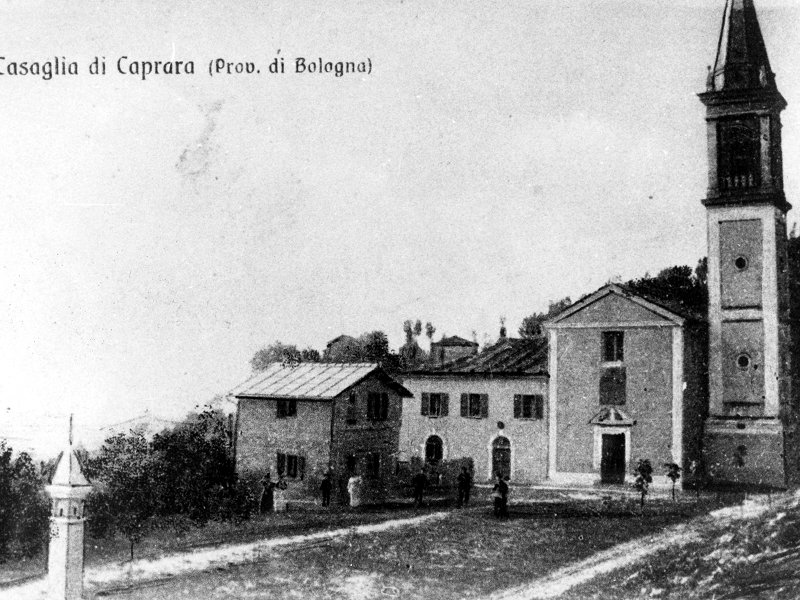
Caprara Mount
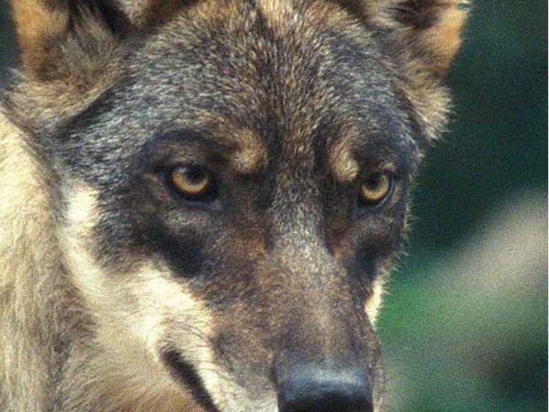
The Wildlife Route On the Trail of the Wolf
Departure: Centro visite Il Poggiolo
Map with georeferenced itinerary
Typology: On foot
Difficulty Level: E - Hiking (level)
Interest: Wildlife, Panorama
Map with georeferenced itinerary
State of practicability:
Closed
Typology: On foot
Duration: 5 h 30 m
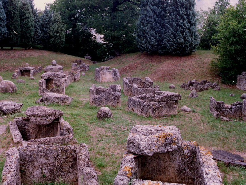
Interest: Archeology, History
Itinerary Poggiolo - San Martino - Caprara - Casaglia - Poggiolo
Departure: Centro visite il Poggiolo
Map with georeferenced itinerary
Typology: On foot
Duration: 1 and a half hours (3 hours with guided visit)
Interest: History
Memorial cycle way
Departure: Stazione di Lama di Reno
Map with georeferenced itinerary
Typology: By bike
Duration: one day
Interest: Flora, Wildlife, Panorama, History
Map with georeferenced itinerary
Typology: On foot
Duration: 6 h
Interest: Flora, Wildlife, Panorama
Trail of Montovolo
The footsteps of the pilgrims who walked across these mountains in the Middle Ages
Departure: Lama di Reno
Map with georeferenced itinerary
Typology: On foot
Duration: 7 h
Interest: Panorama, Religion, History
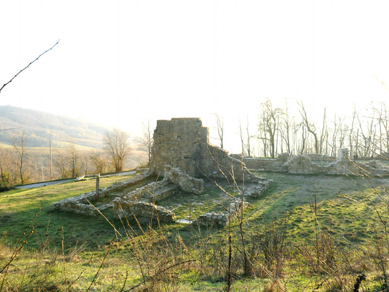
Trail of Morandi
The look of Giorgio Morandi, the great artist who painted many of the park's places
Departure: Grizzana Morandi - loc. Campiaro
Map with georeferenced itinerary
Typology: On foot
Duration: 3 h 30 m
Interest: Panorama, History
Trail of Pian di Venola-Poggiolo
Departure: Stazione FS di Pian di Venola
Map with georeferenced itinerary
Typology: On foot
Duration: 2 h
Interest: Flora, Panorama, History
Map with georeferenced itinerary
Typology: On foot
Duration: 7 h
Interest: Panorama, History
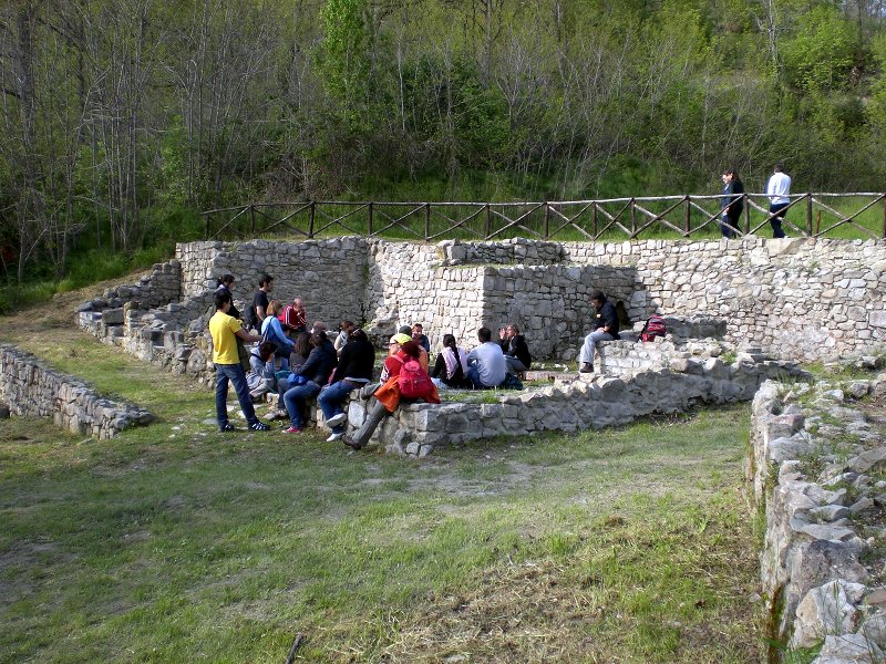
Touristic didactic trail of Monte Caprara
Departure: Località Caprara di Sopra
Typology: On foot
Duration: about 1 hour
Interest: Panorama, History


© 2024 - Ente di gestione per i Parchi e la Biodiversità - Emilia Orientale