

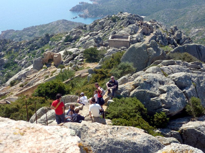
Itineraries
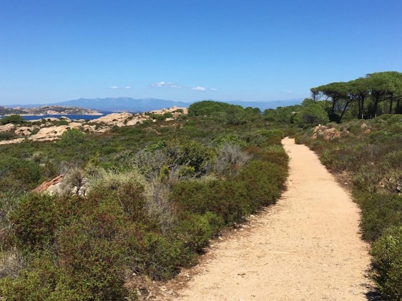
Trails of Caprera
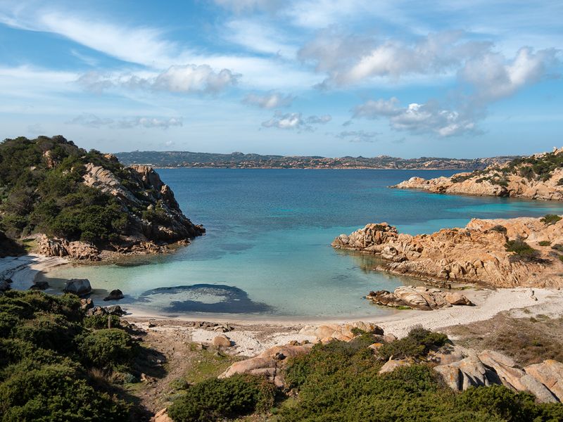
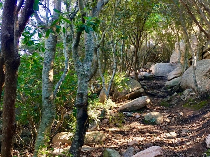
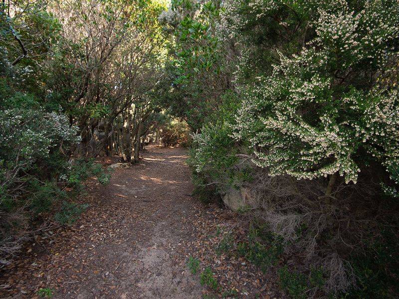
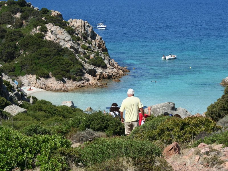
The path network of the Park develops on the island of Caprera and was built starting from 2011 with the aim of restoring the ancient network of paths , born at the end of the 19th century with military purposes. To date, there are 16 paths that allow a slow fruition and in close contact with nature, of this wonderful territory.
Further information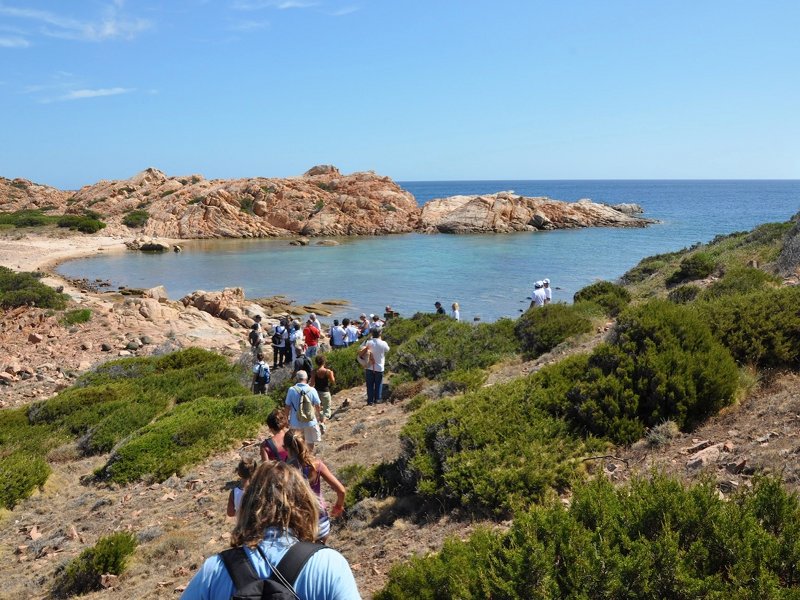
Inauguration of the trails
Typology: On foot
Difficulty Level: Easy
Duration: 1 h 15 m
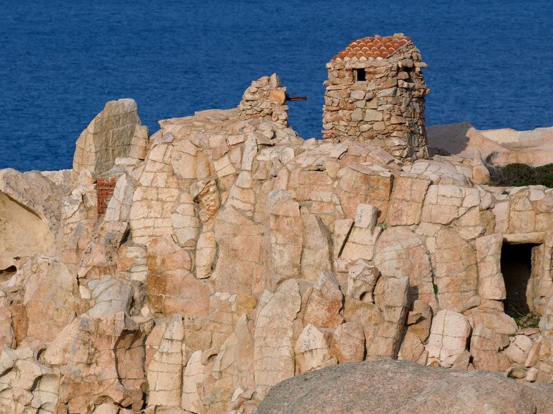
Interest: Panorama, History
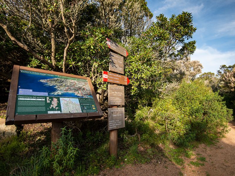
Punta Crucitta - Candeo
Path n. 12
Departure: Isola di Caprera, nei pressi della fortificazione di Arbuticci
Typology: On foot
Difficulty Level: Easy
Duration: 1 h 35 m
Interest: Flora, Wildlife, Panorama
Typology: On foot
Difficulty Level: Easy
Duration: 1 h 15 m
Interest: Flora, Wildlife, Panorama
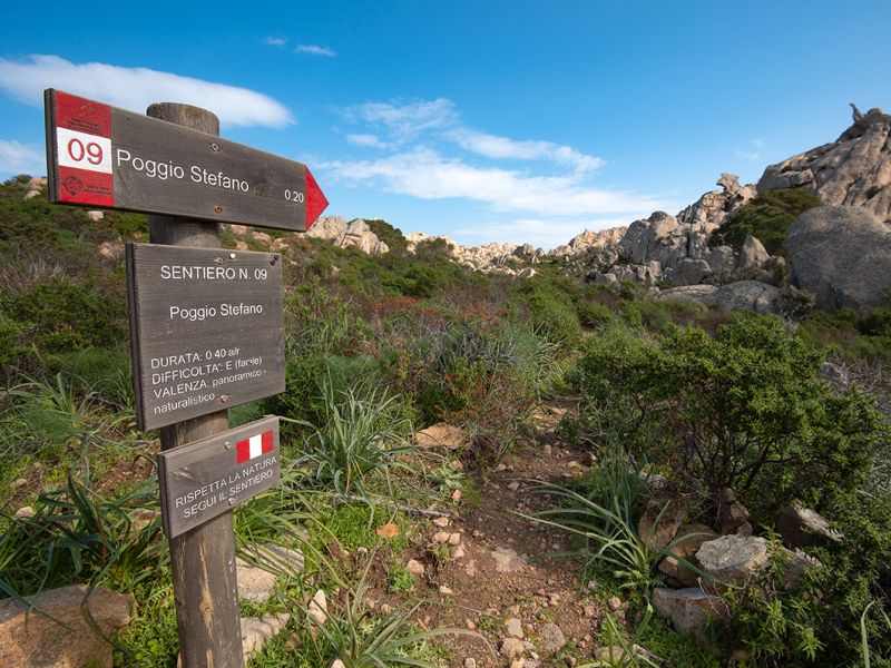
Poggio Zonza
Path n. 06
Typology: On foot
Difficulty Level: Easy
Duration: 55 m
Interest: Panorama, History
Typology: On foot
Difficulty Level: Easy
Duration: 1 h 15 m
Interest: Flora, Wildlife, Panorama
Typology: On foot
Difficulty Level: Easy
Duration: 1 h 15 m
Interest: Flora, Wildlife, Panorama
Typology: On foot
Difficulty Level: Easy
Duration: 45 m
Interest: Flora, Wildlife, Panorama
Diving Spots


© 2024 - Ente Parco Nazionale dell'Arcipelago di La Maddalena