Points of Interest
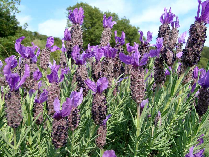
Arcipelago Toscano enjoys a characteristic Mediterranean climate thanks to the mitigating action of the sea, especially as far as the smaller islands are concerned.
Although humidity is present, the summer is warm, mainly dry and breezy. The winter is rather mild. Rain is common in the intermediate seasons and during the winter while there are often droughts in summer.
The winds have a typically coastal character, although they become quite varied on the high seas. In summer, there are mainly the east wind, the mistral, the tramontana, but during the winter there are the strong winds of libeccio, the north-east wind, the south-wind, the west wind, and the scirocco.
Snow falls are rare even if the peak of Mt. Capanne is covered every year with snow.
The varied orography and the high altitude of some summits create the conditions for a great complexity of the climate of the area which, above all on the slopes of Mt. Capanne, has sub-Apennine features.
Giannutri Island
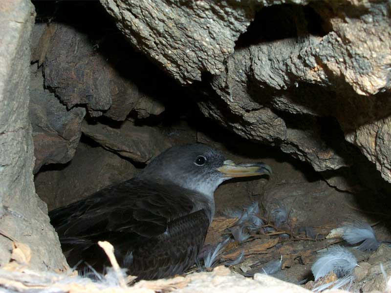
Giannutri, the southern Tuscan island, emerges from the waters of the Tyrrhenian Sea like a white crescent of limestone. Its 11 km of coastline is dominated by rocky cliffs with caves and cracks created by the action of the wind. The only landing places on the island: Spalmatoio Cove and Maestra Cove have two small pebble beaches.
(The following links lead to pages in Italian)
Giglio Island
With its 2,120 mq, Giglio Island is the second largest island after Elba Island. Among the southern islands of Tuscany, Giglio Island is located about 15 km west of Mt. Argentario, 14 km from Giannutri Island and 43 km from Montecristo Island.
(The following link leads to pages in Italian)

Montecristo Island
Montecristo is the fourth largest island in the Arcipelago Toscano, with a surface area of 10.4 square kilometres, and is the furthest from the mainland coast, from which it is about 63 km away. From an administrative point of view, its territory lies in the municipality of Portoferraio and the province of Livorno, of which it represents the southernmost portion.
(The following link leads to pages in Italian)
Pianosa Island
Pianosa, with its 10.2 square km is the Archipelago's fifth island. It is situated 14 km SSO of Elba's coast, about 27 km SSE of the Montecristo island, about 40 km east of Corsica. Inhabited by prehistoric people and by ancient seamen, it features testaments from the Neolithic Age and from the Copper Age. Here there are maritime dwellings from the Roman period, and during the imperial age it was the exile place of Agrippa Postumus, grandchild of Augustus.
(The following links lead to pages in Italian)
Elba Island
As regards its extension (22,350 ha), this is Italy's third island, with a maximum development east-west (between Punta Nera and Capo Pero) 27 km; north-south (between Capo Vita and Punta dei Ripalti) 18 km.
It lies 10 km far from Piombino, 40 km from Capraia and 50 km from Corsica. It is divided into eight municipalities: Campo nell'Elba, Capoliveri, Marciana, Marciana Marina, Porto Azzurro, Portoferraio, Rio Marina, Rio nell'Elba.
(The following links lead to pages in Italian)
Gorgona Island
Belonging to Livorno's territory, with a surface of 2.23 square km it is the smallest and northernmost island in the Archipelago. It is situated about 36 km from Livorno, 40 km from Capraia and 60 km from Corsica, with a coastline of a little more than 5 km. The mountain territory, in the western side, ends in Punta Gorgona, at an altitude of 225 m, whereas the eastern side is crossed by three small valleys. The northernmost valley reaches the sea and the village where the Cala dello Scalo dock is situated.
(The following link leads to pages in Italian)
Capraia Island
As regards its extent, Capraia is the third island in the Archipelago, with a 19.3 square kilometers. It is one of the most maritime insular entities, since it is situated 54 km far from the continental coast east. About 40 km NNE there is Gorgona, while southwards there is the Elba.
(The following links lead to pages in Italian)