Itineraries
The Arcipelago Toscano National Park Trail Network
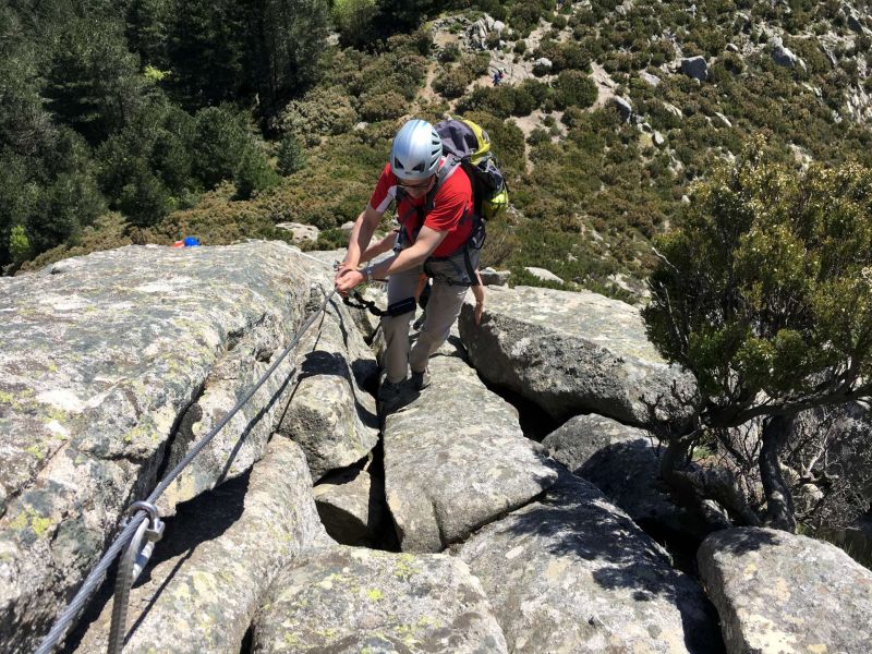
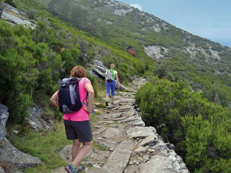
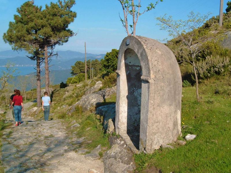
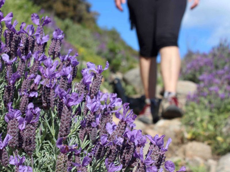
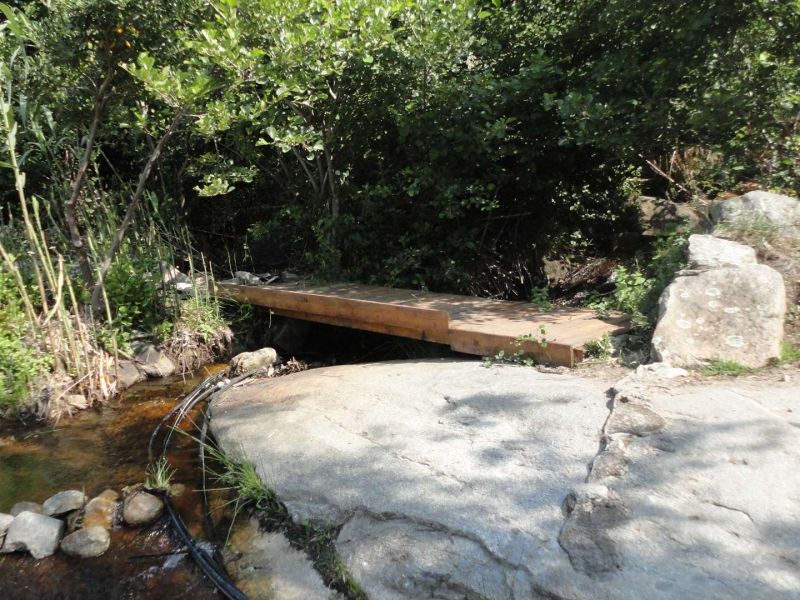
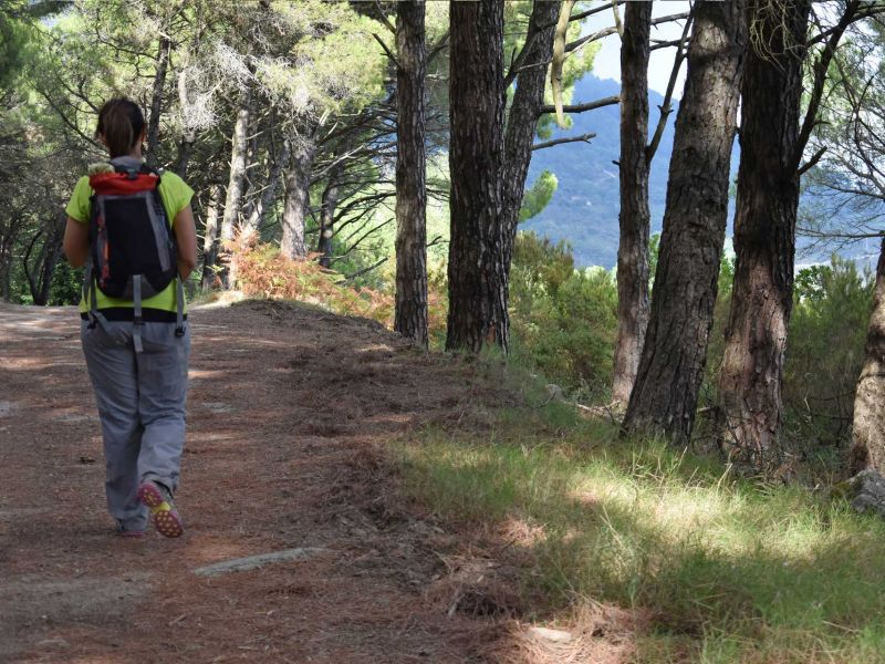
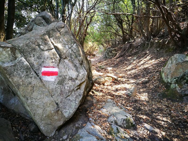
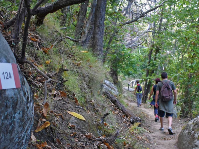
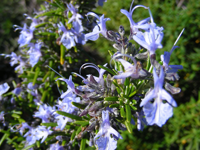
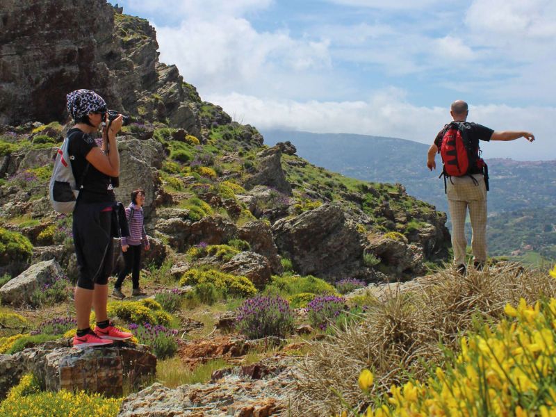
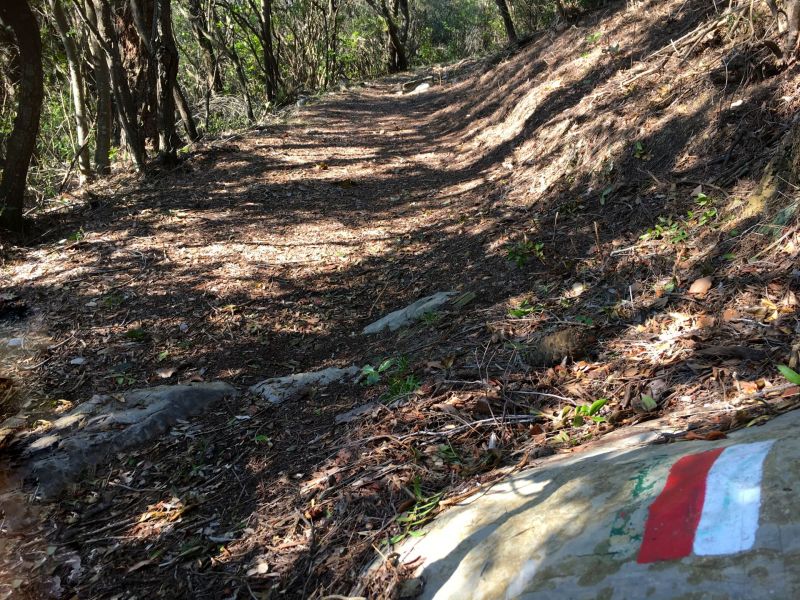
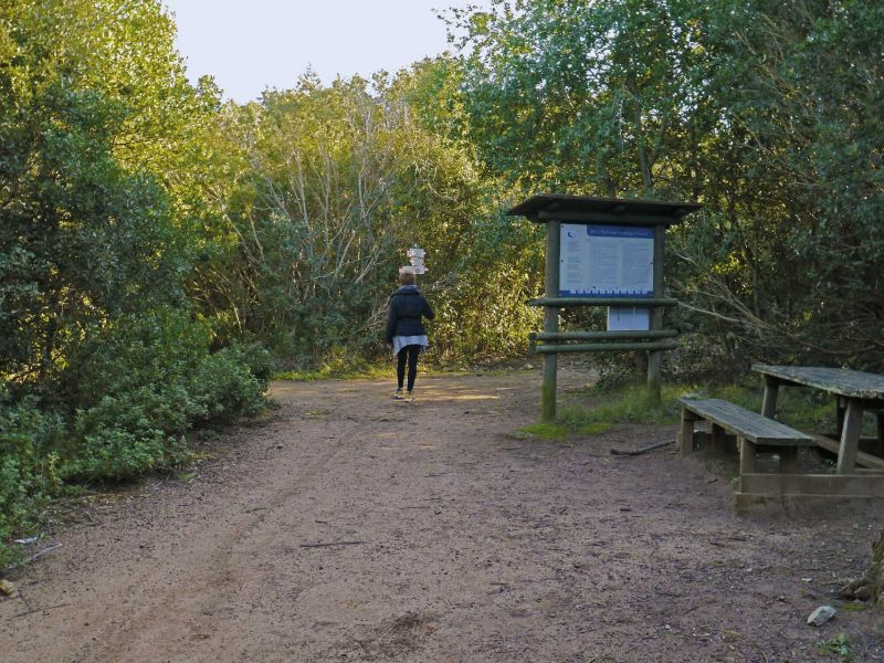
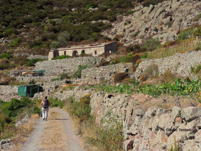
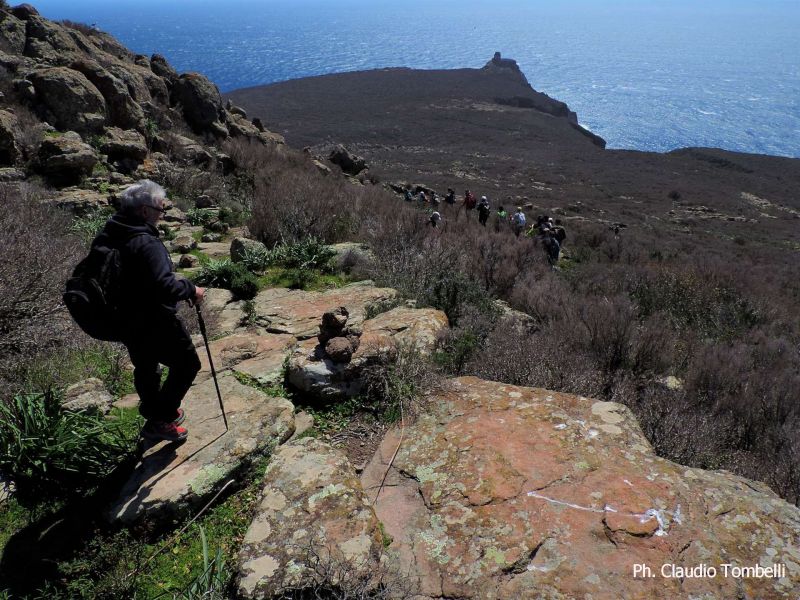
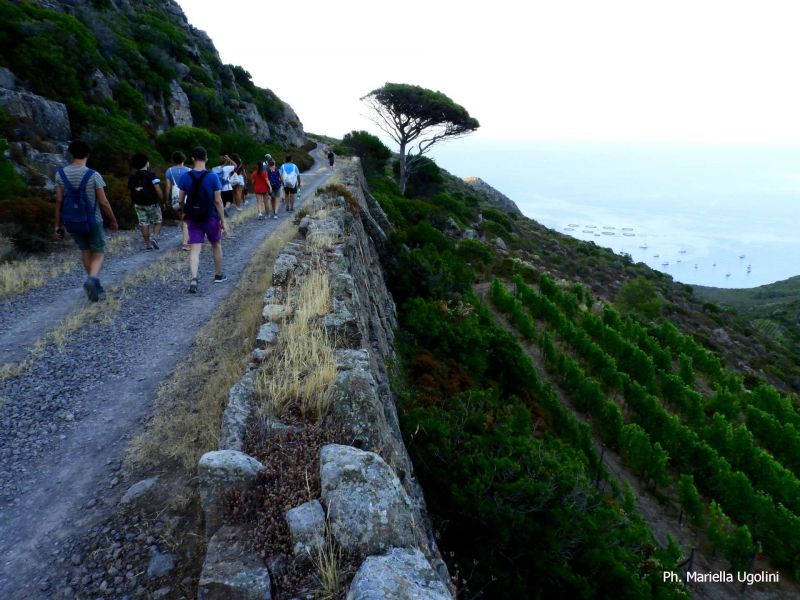
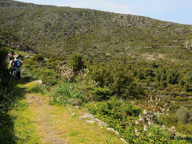
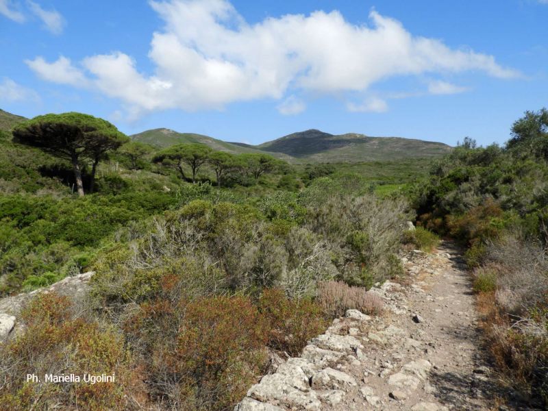
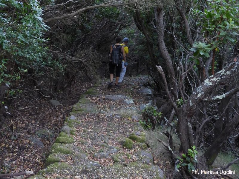
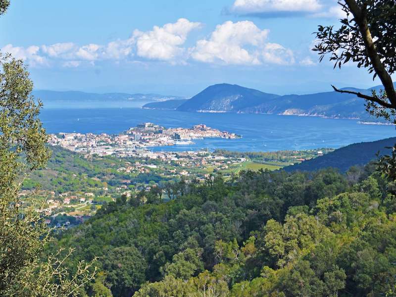
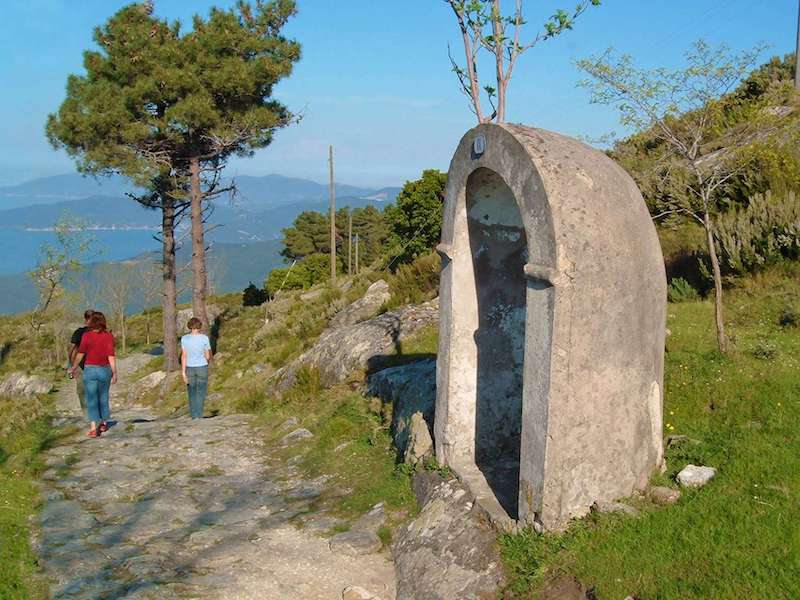
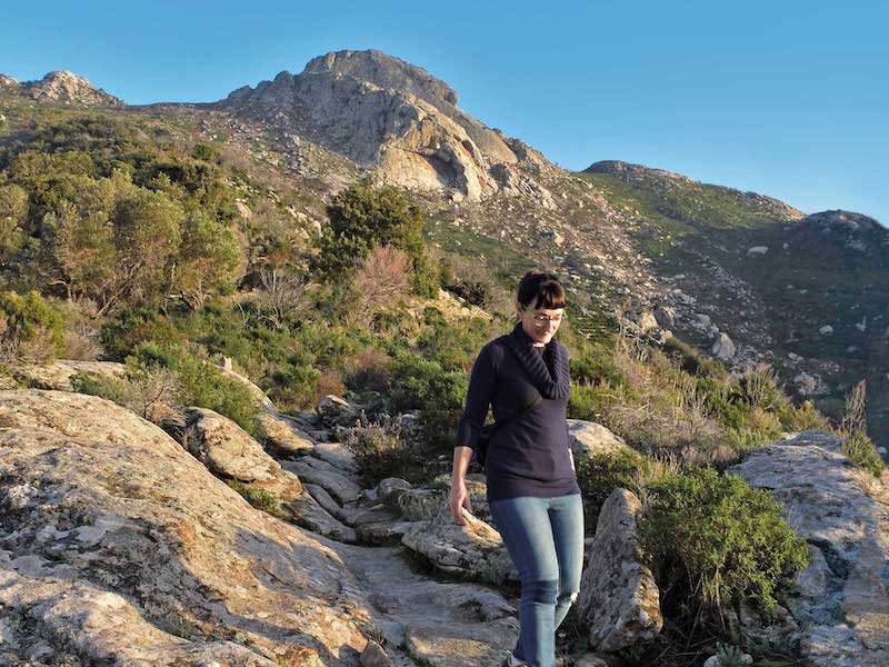
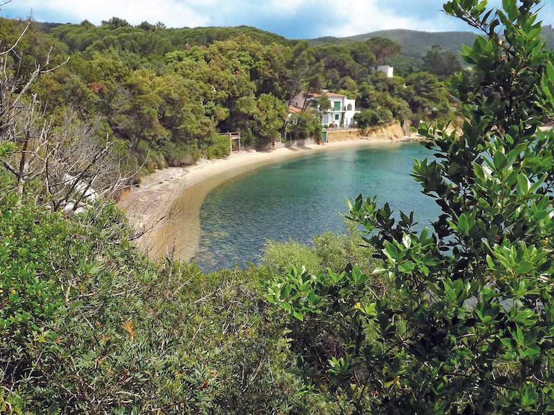
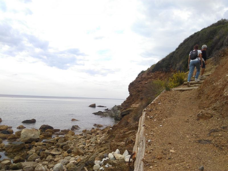
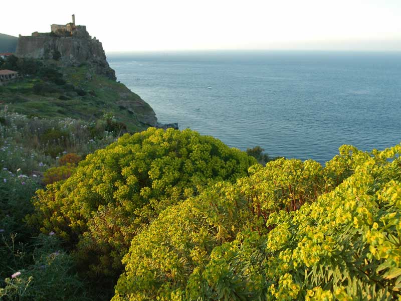
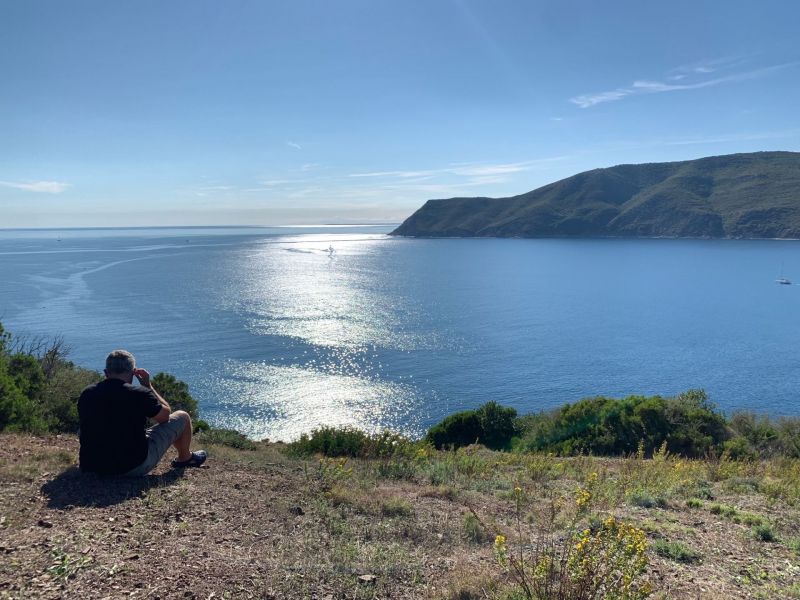
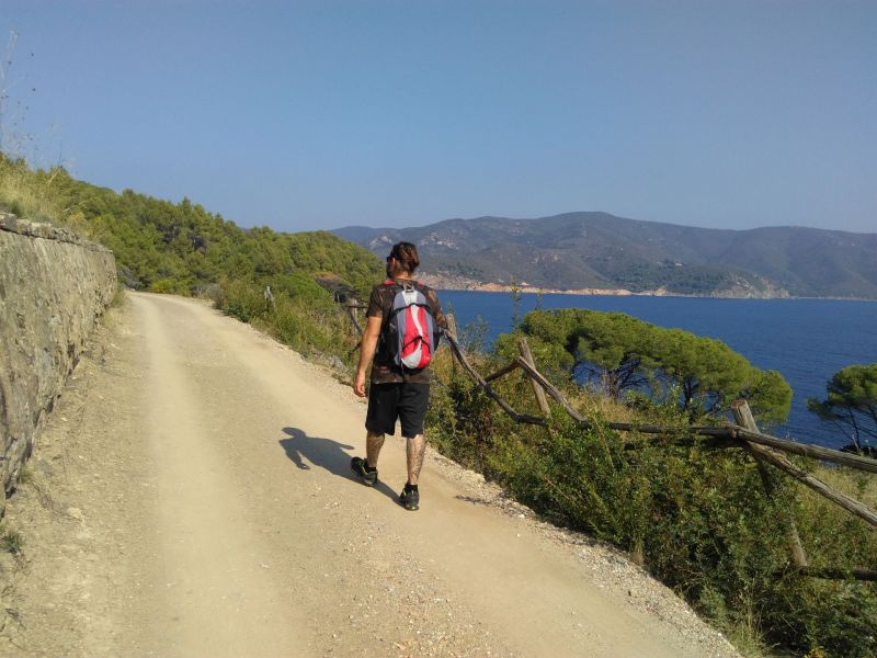
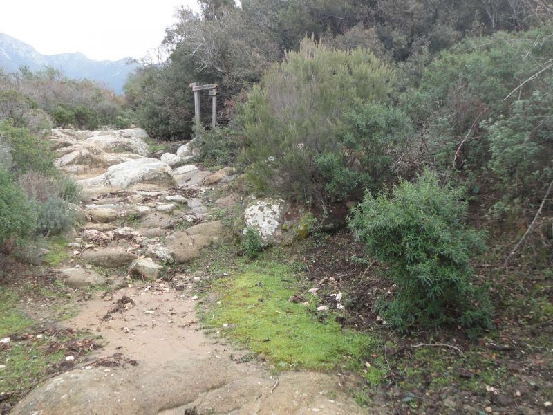
The Arcipelago Toscano (Tuscan Arcipelago) encompasses an incredible variety of hiking trails, not in a vast area. In most cases, these are ancient communication routes that were once used to reach cultivated land or connect inhabited centres. The Park Authority manages a well-developed trail network to meet the needs of all hiking enthusiasts, from families with children to experienced walkers. To organise an excursion, you can choose one of the paths or choose the paths recommendend by the National Park, according to the area you want to explore and its difficulty (trails for families, easy trails, demanding trails).
Further informationHiking trails
with equipment
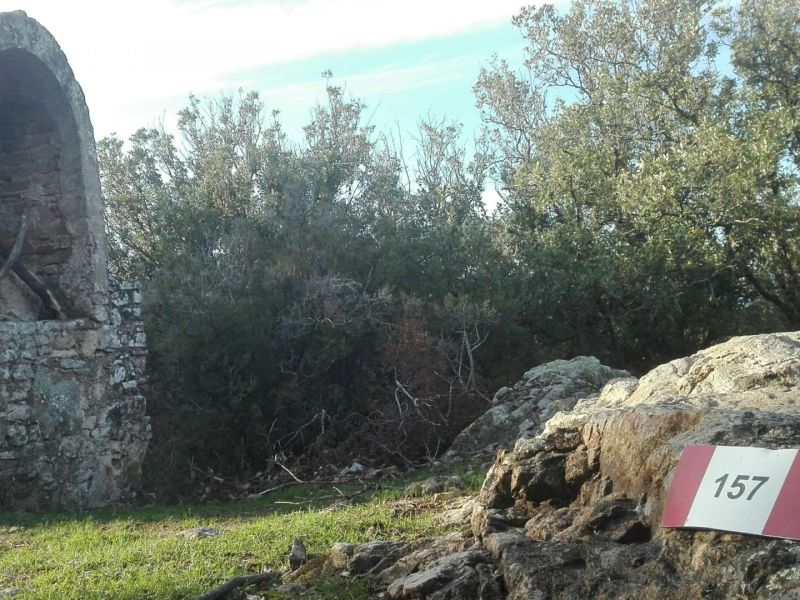

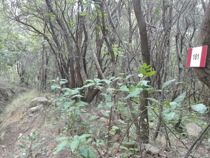
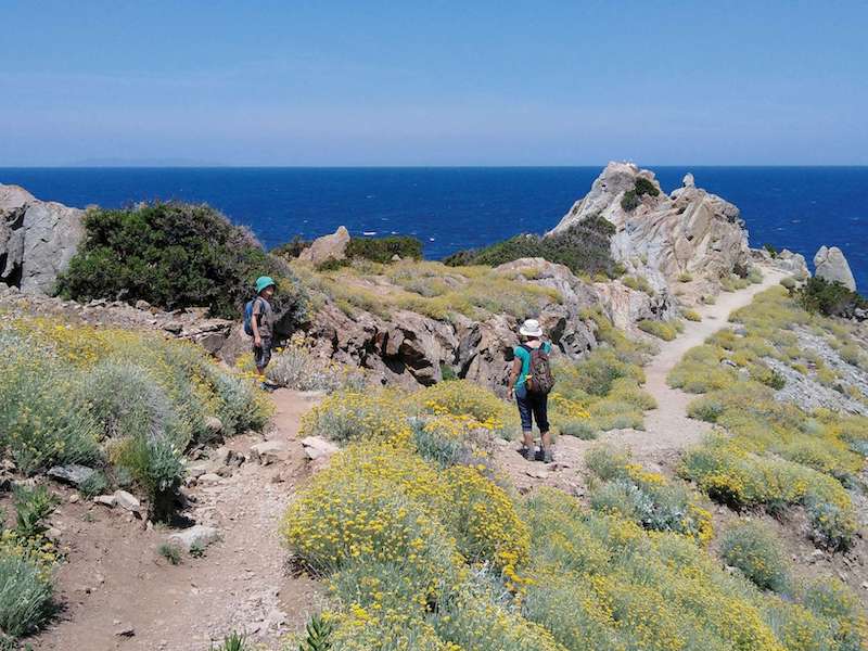
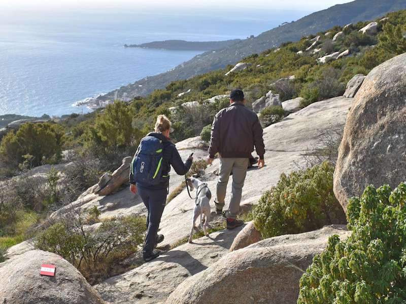
Recommended paths
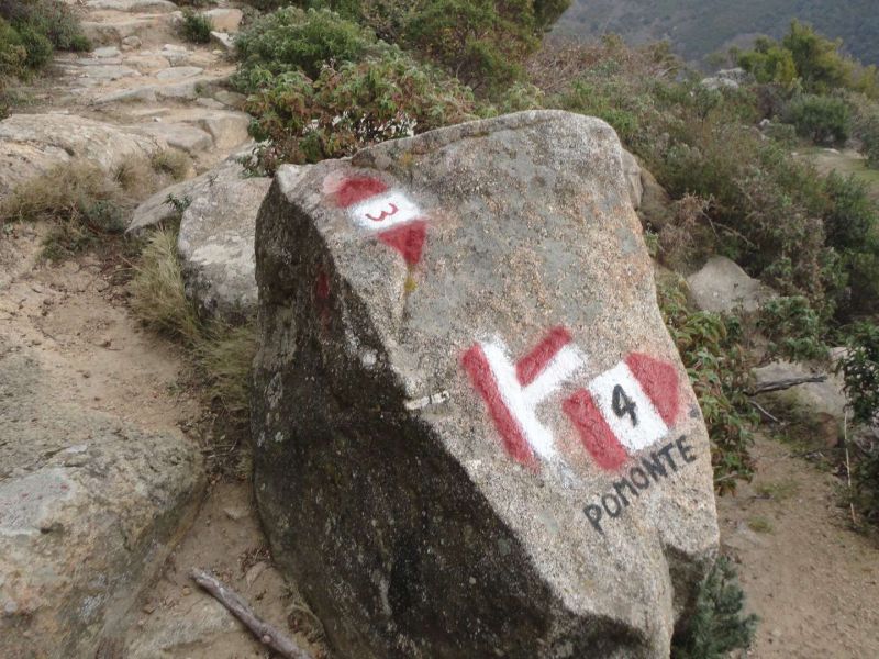
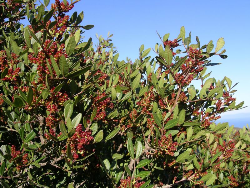
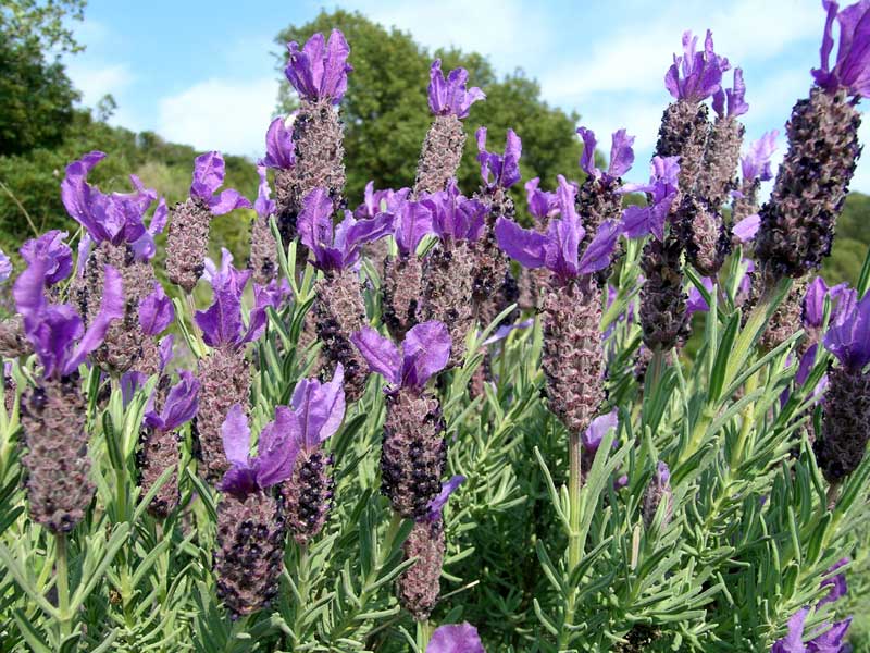
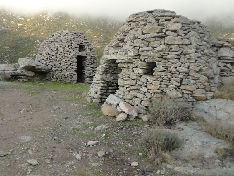
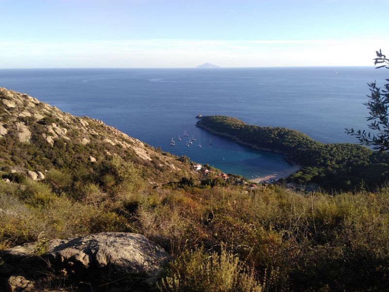
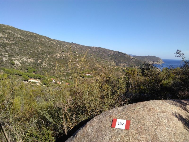
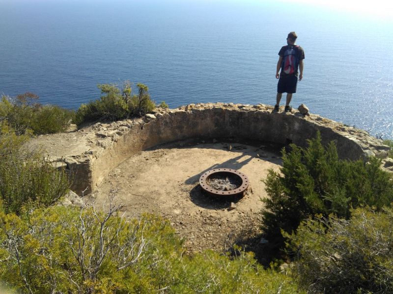
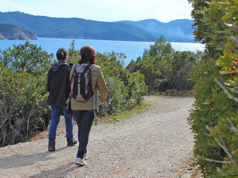
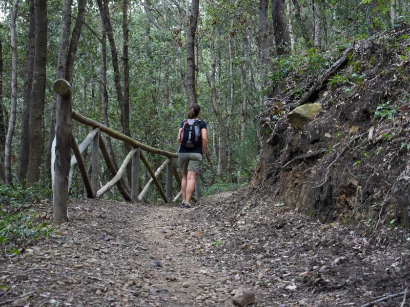
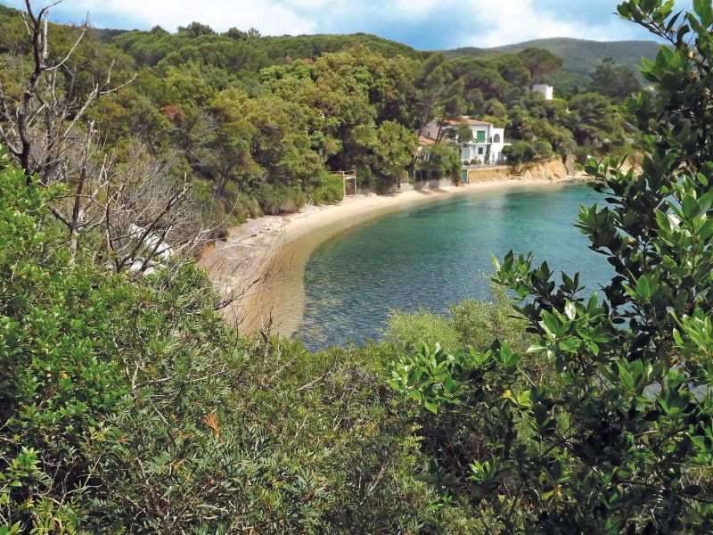
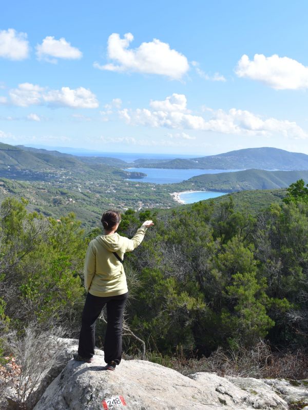
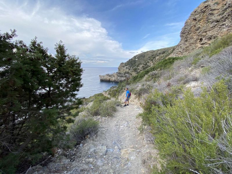
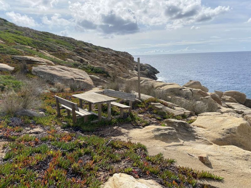
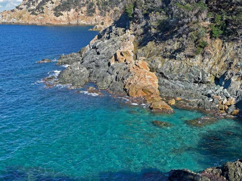
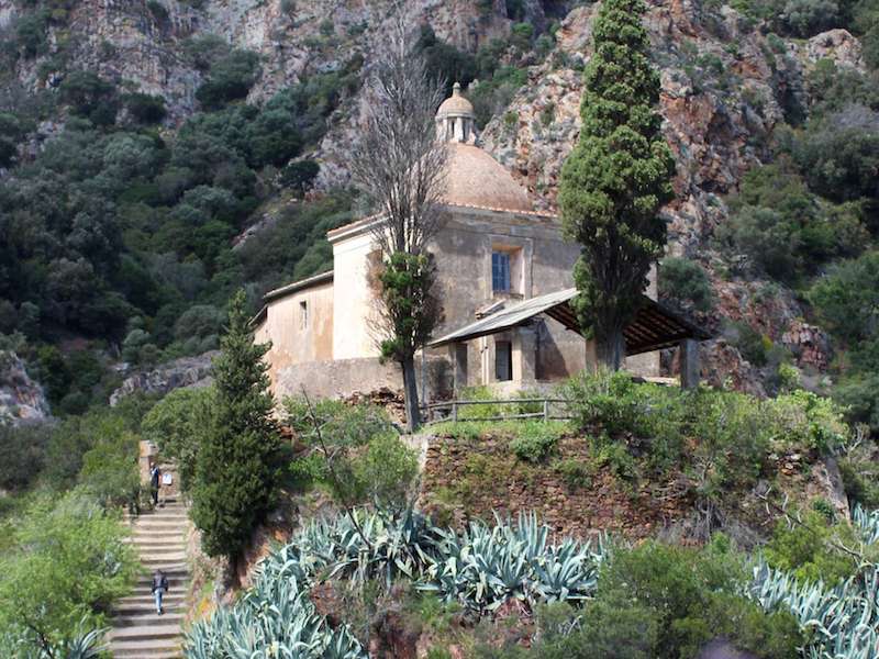
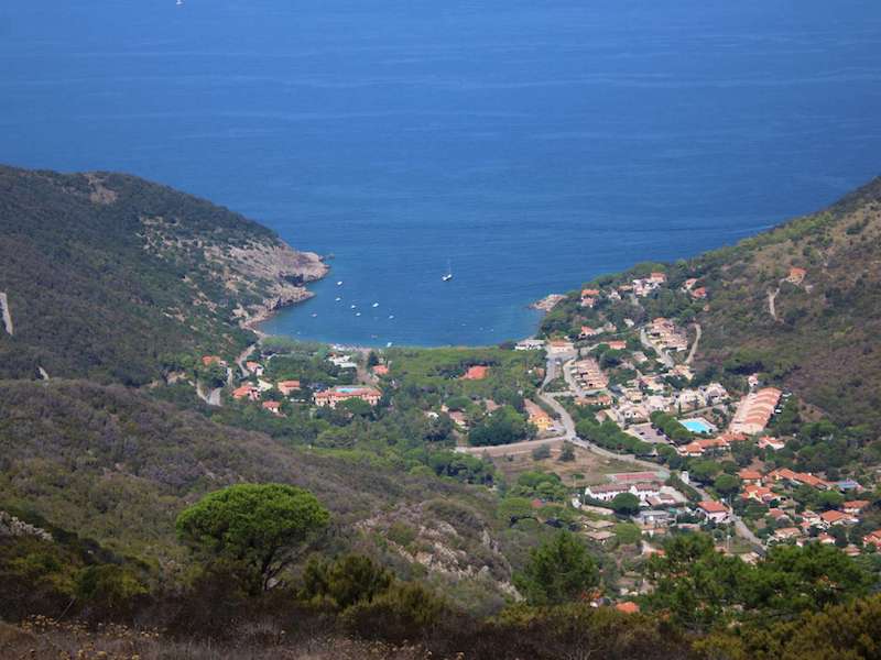
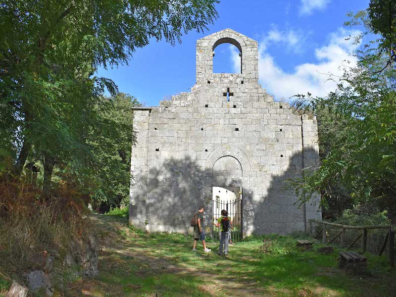
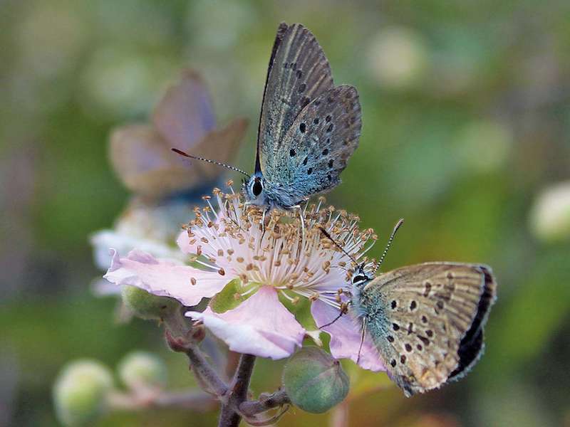
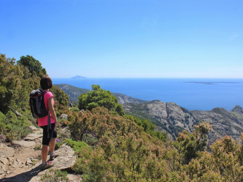
A selection of paths, among the ones making up the network in Elba and the Tuscan Archipelago. Walks and treks chosen according to their level of difficulty, from those suitable for families to those for experienced and trained hikers. Views, natural environments, historical and architectural features and local curiosities.
Further information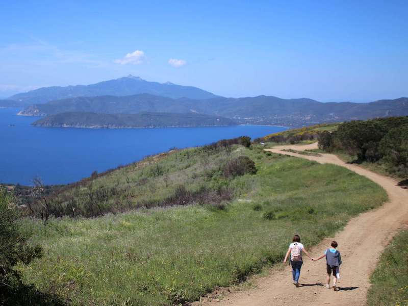

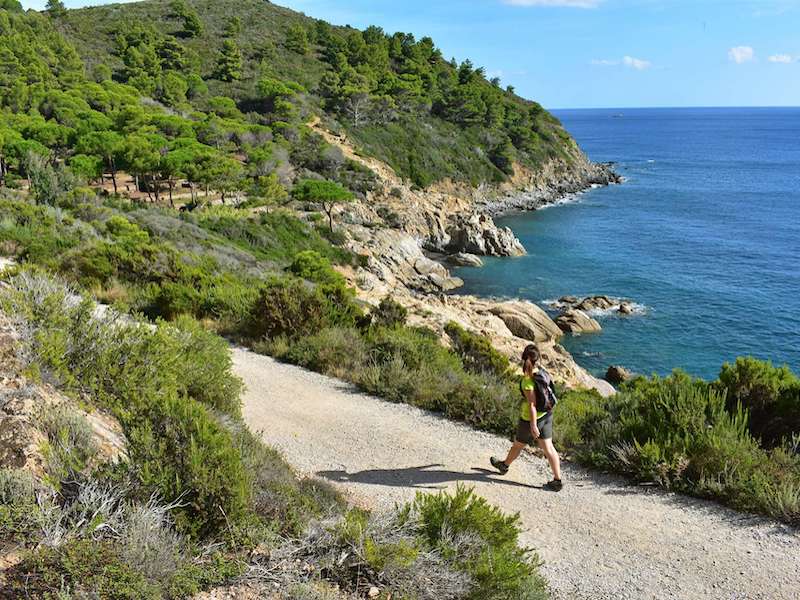
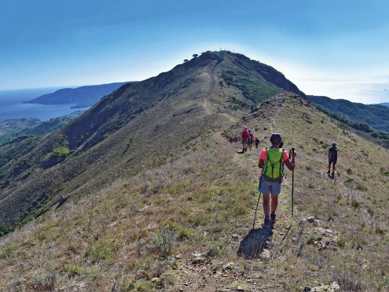
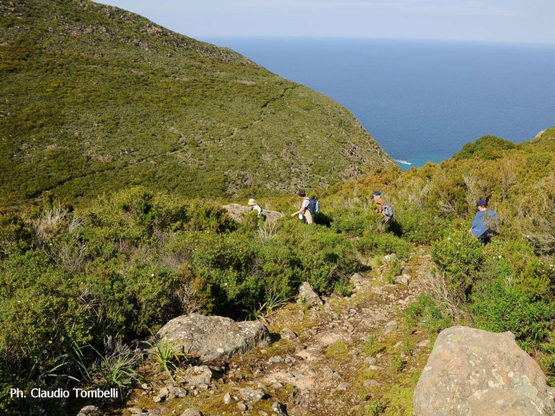
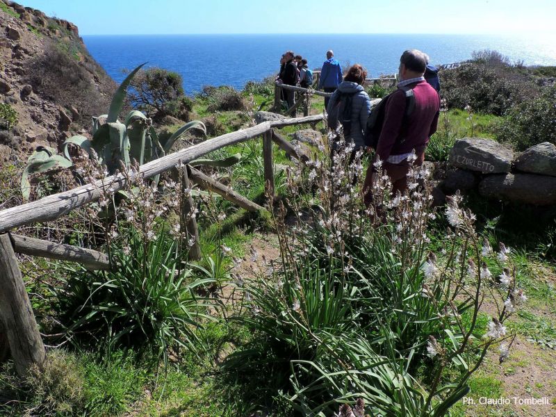

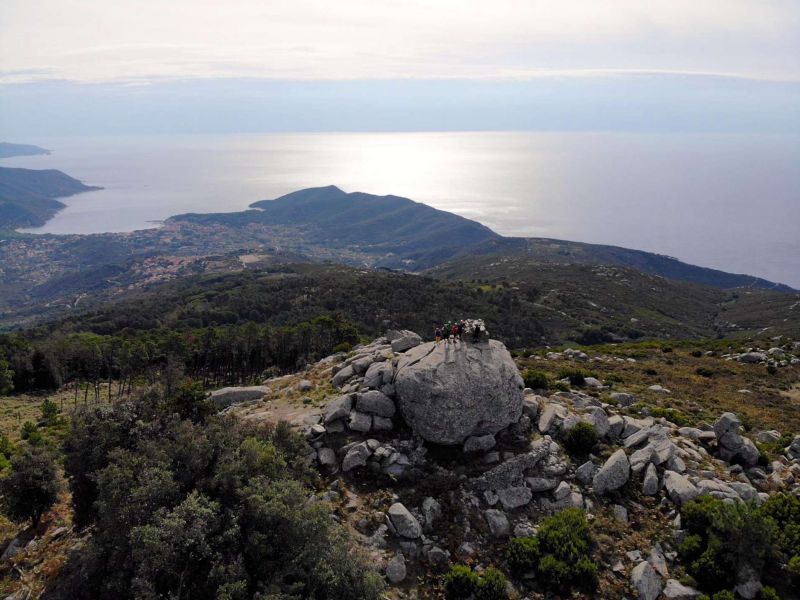
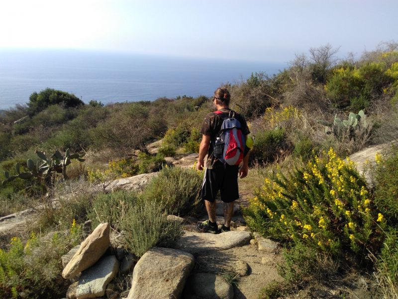
Grand Trail of Elba
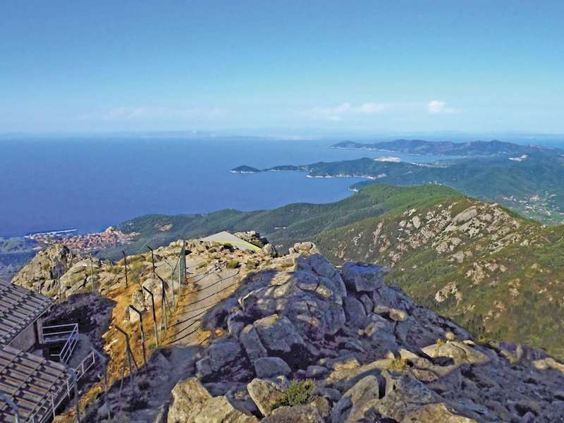
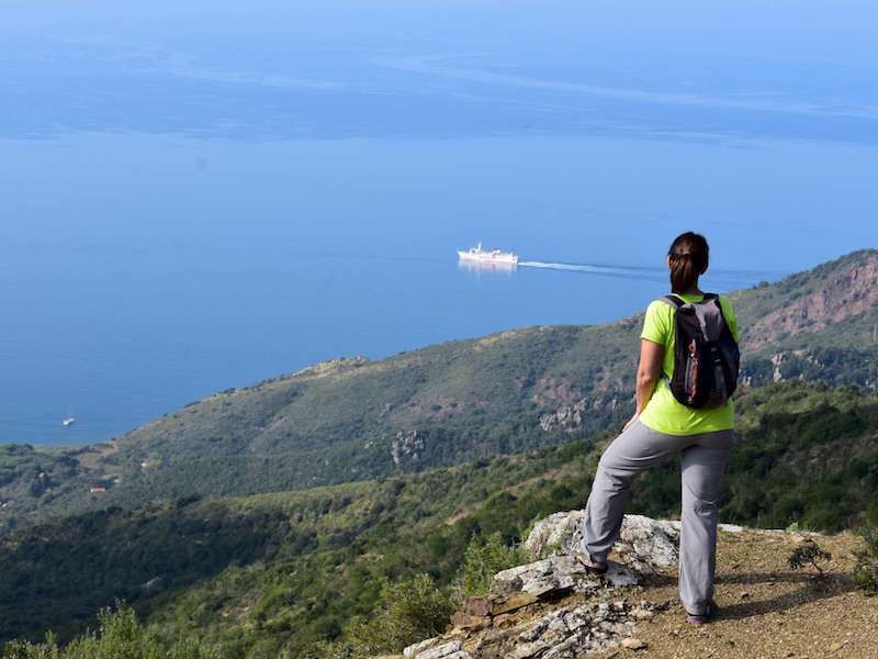
The Grand Trail of Elba (GTE) is the most meaningful itinerary in Elba's hiking network. It links together most of the island's paths, so as to observe its incredible geological, vegetational and morphological variety.
Further information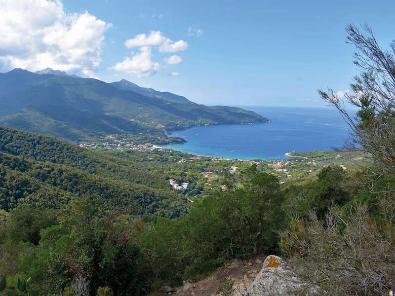
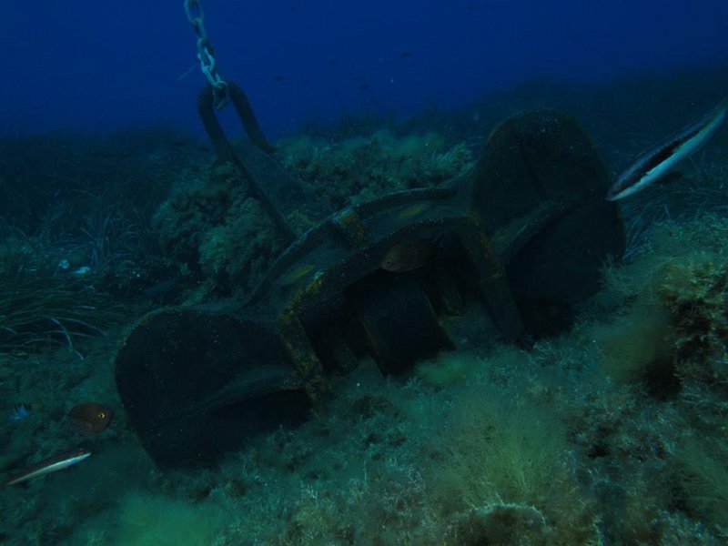
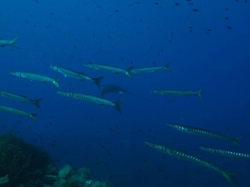
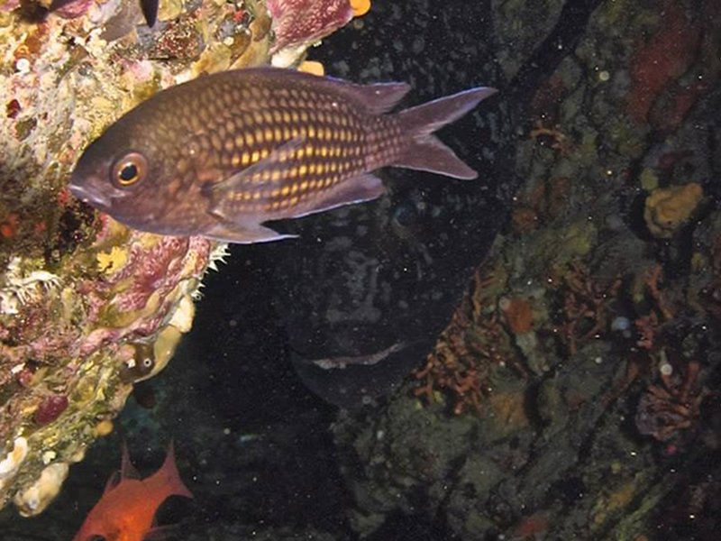
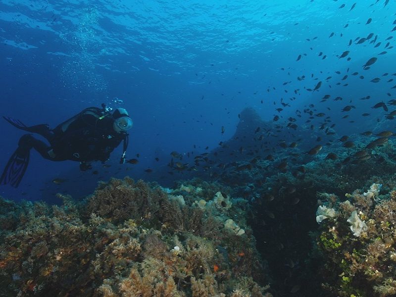
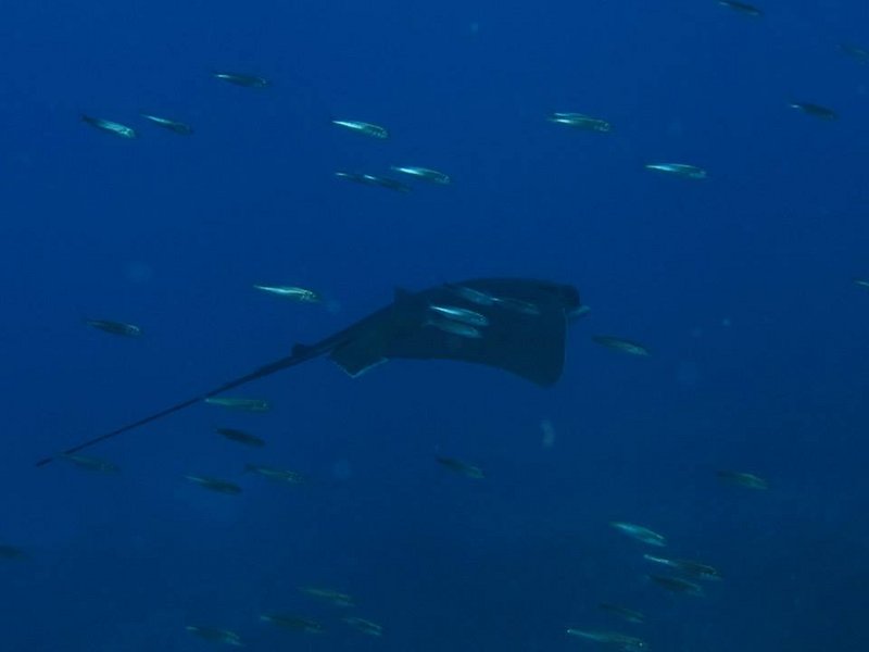
Pianosa underwater itineraries
At present, the experimental use is allowed with four buoys, two of them are for the exclusive use of the rescue and surveillance units' boats. The fifth buoy, sp5, will be used only at a later time after the underwater itinerary will be defined.
 Regulation for diving in Pianosa (Italian text)
Diving in Pianosa is allowed only with mooring in the Buoy Camp
To book the buoys, you can access the booking portal, reserved only for Diving Authorised People by the Park. For further information on the portal, please contact Info Park Ph. +39 0565/908231