Itineraries
Itineraries and Routes
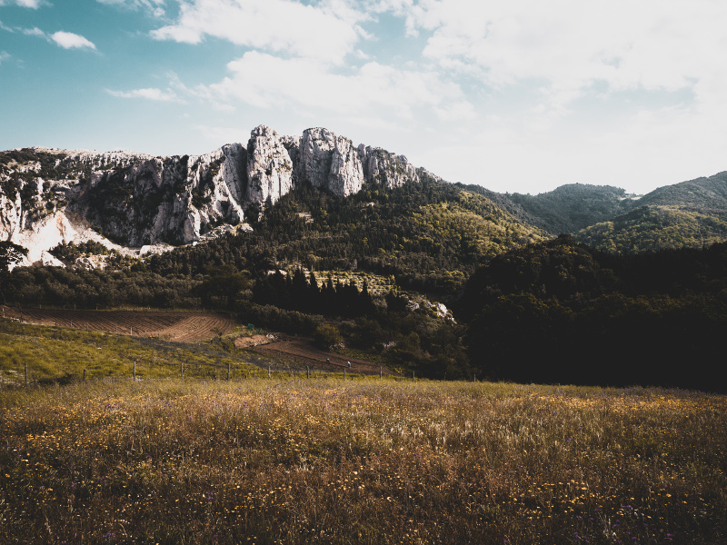
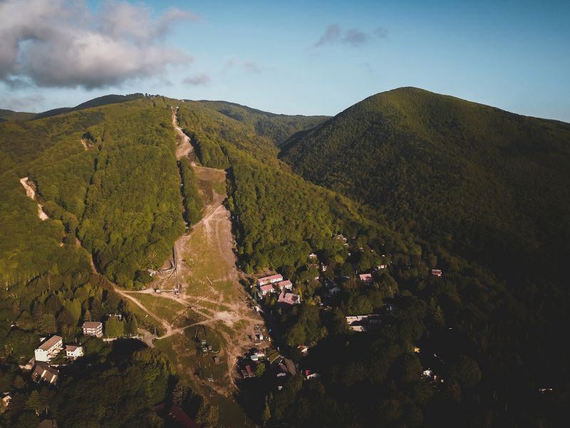
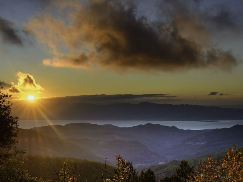
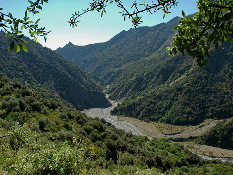
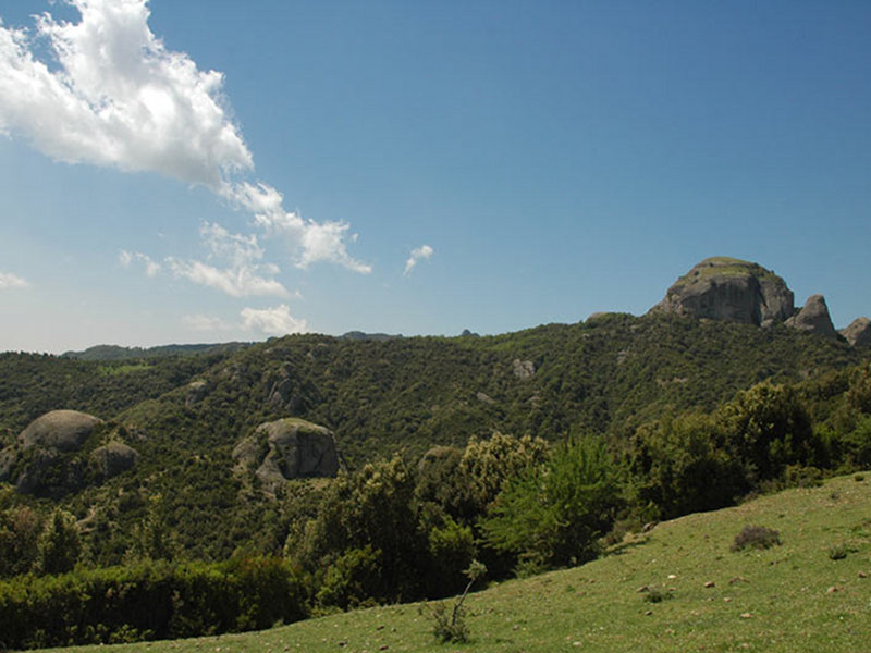
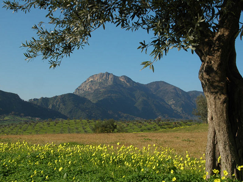
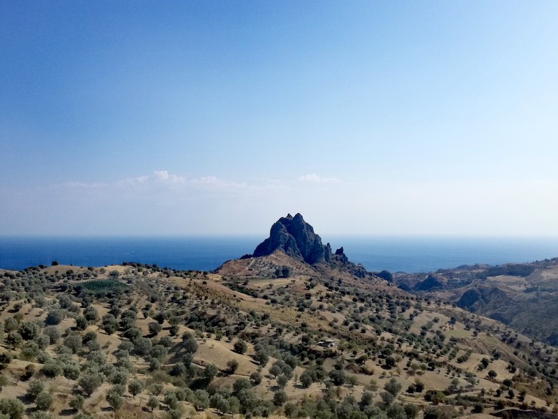
Aspromonte is rich in wonderful and charming landscapes, in trails offering great and different panoramas and giving the opportunity to cross places where the sea and the mountains seem so close that they become one thing. Following the trails, it is possible to entirely cross Aspromonte and enjoy the view of its various natural beauties, from the waterfalls to the narrow deep valleys, from the historical monuments to the small villages and the several rocky formations. If you love nature, you will be amazed by the huge centuries-old tree forests and the presence of rare wildlife like the roe deer which, thanks to Aspromonte National Park Authority, has come back to live in our woodlands.
Land Register of the Trails
Resolution of the Board of Directors no. 20 dated 17.07.2012, with a successful outcome provided by M.A.T.T.M. with note prot. no. 0023943 dated 18.09.2012 - PNM-V, through which the Land Register of the Park Trails has been adopted.
Trails by Mountain Bike
Three itineraries have been realised, marked with special signs, for those who want to discover the wonderful landscapes of the Aspromonte National Park by mountain bike.
Sentiero Italia CAI
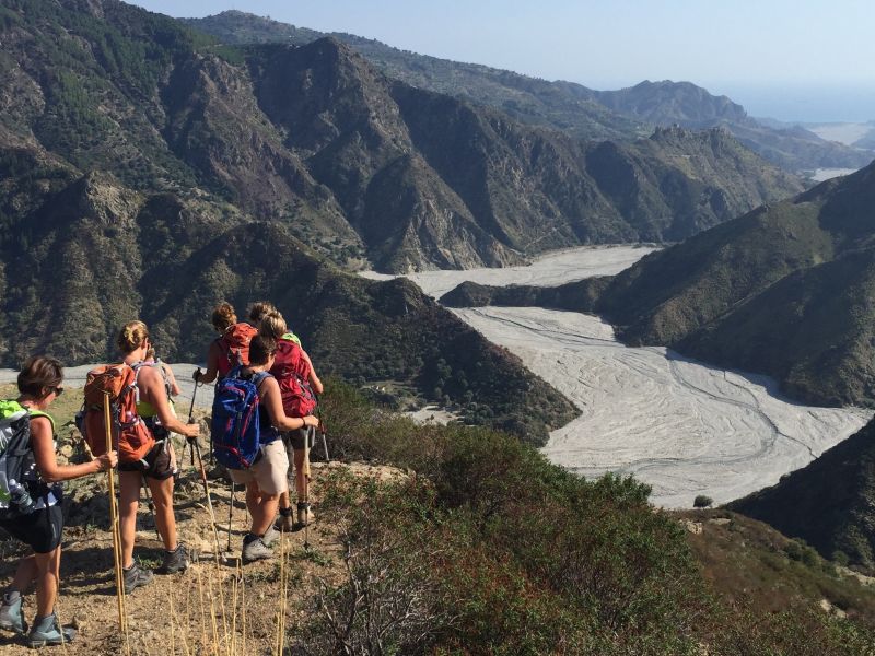
The Brigante Path
An hiking trail of over 100 km in the middle of the Aspromonte Park, rich in history and natural beauty
An evocative journey on foot, from Aspromonte to Serre, through areas of great naturalistic interest, lush forests, rushing torrents, placid streams, waterfalls, alpine and Mediterranean landscapes, rural settlements, noble residences, inhabited centres, architecture, sites of industrial archaeology, evidence of an important, unknown, controversial history, still to be written. An unforgettable experience for the diversity of cultural contexts, ways of life and environments of the places crossed. An extraordinary "Path" in the footsteps of rebels, brigands and fugitives from every era, in an area strongly characterised by identity and authenticity. An unexpected welcome in what, for too long, has been considered as a hostile and impenetrable mountain.
The Brigante Path is one of the paths inserted in the MIBACT Digital Atlas of Italian Paths.
Further information on sentierodelbrigante.it
The English Path
In the footsteps of Edward Lear
This hiking trail has born in 1994 in the Aspromonte National Park, in the footsteps of the traveller on foot "par excellence" of the Greek Calabria, the English landscape architect Edward Lear, belonging to the XIX century. This trail has an unparalleled reception system in Italy, managed directly by the local community: L'Ospitalità Diffusa.
This hiking trail develops in seven stages.
Further information on www.sentierodellinglese.it
Cycle path of the Calabria Parks
Between Aspromonte, Sila, Pollino and Serre, the Cycle path of the Calabria Parks offers cycling enthusiasts 545 km of authentic discovery and new experiences between landscape and eco-sustainability.
The last three stops of the Cycle path of the Calabria Parks are those that cross our Aspromonte Park and are often characterised by breathtaking panoramic views.
Cycling along the lush paths where you encounter the wildest nature, you can visit some very special and representative places of the Park such as the Pietra Cappa monolith, the Gambarie Biodiversity Observatory, the Mundu and Galasia waterfalls, the Serra where Piedmontese soldiers wounded Garibaldi, and finally the Falcomatà Waterfront in Reggio Calabria.
Further information, please visit www.cicloviaparchicalabria.it