

Itineraries
Alta Via dei Monti Liguri
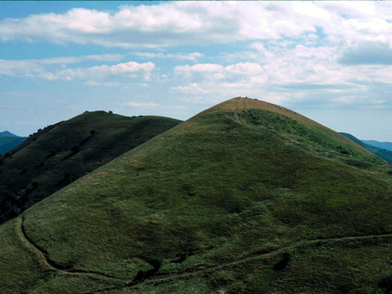
A long green road, between eagles and whales
Crossing the Alta Via dei Monti Liguri is one of the most fascinating ways to admire Liguria's beauties. It is a more than 400-km-long window overlooking the sea form one side, and the Po Valley and the Alps from the other.
Map with georeferenced itinerary
Typology: On foot
Difficulty Level: E - Hiking (level)
Duration: 4 h 15 m
Passo della Scoffera - Sella della Giassina
Departure: Passo della Scoffera
28 Lap of: Alta Via dei Monti Liguri
Map with georeferenced itinerary
Typology: On foot
Difficulty Level: E - Hiking (level)
Duration: 2 h 30 m


© 2024 - Ente Parco dell'Antola - p. iva 01604390995