


Malga Ra Stua Ring-route
- Trail Conditions: On foot
- Interest: Flora, Geology, Panorama
- Duration: 3.00 - 3.30 hours (ring-route)
- Difference in height: 300m; (1,420m Tornichè - 1,720m Spònes dei Ciadìs)
Difficulty level: The itinerary has no difficulties.
It is an ideal downroad trip along one of the two branches when the road leading to Malga ra Stua is closed to the traffic and it is replaced by a bus shuttle service.
How to get to the departure point: follow the SS road no. 51 di Alemagna until you reach the km 111, where the junction near to a marked hairpin bend is situated; immediately after the junction there is a parking area.
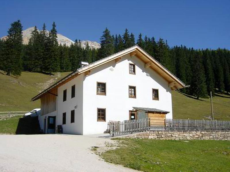
Malga Ra Stua


© 2024 - Parco Naturale delle Dolomiti d'Ampezzo