


Points of Interest
Natural Monuments
One of the most beautiful monuments of the Park consists of the
waterfalls formed by the rio Fanes to reach the ravine of the
Travenanzes; they develop in three following jumps, each more than 50m high, and they are particularly suggestive and roaring given the
great quantity of water flowing into them.
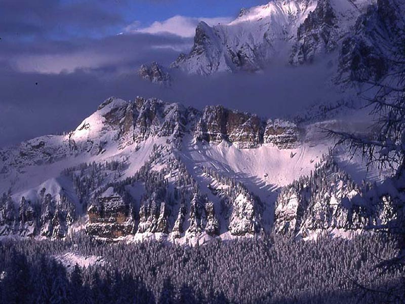
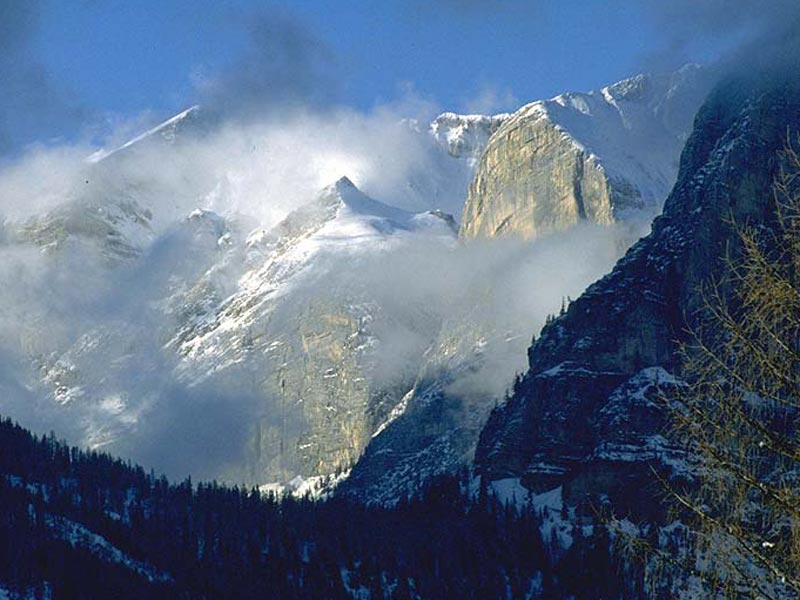
In the highest and more
shady places of the Tofana, of the Cime di Fanes and of the Cristallo
small cirque glaciers are still concealed, sometimes covered by a thick
layer of detritus. They are situated between the 2,800 and 3,000m of
altitude, and even if they withdraw every year working as a thermometer
of the climatic changes, they continue to be an integral part of the
Park landscape and to feed the summer flow of the streams.
Streams
The streams Felizon and Travenanzes, and the rio Ra Vales have dug very
deep ravines in the dolomite rock at the bottom of the valley, which
has therefore a rough and wild aspect. The respective canyons can be
crossed only through some bridges dating back to the times of the first
communication systems linking the Ampezzo valley, the Pusteria and
Marebbe valleys: they are the bridge Felizon on the road di Alemagna, the bridge Outo, and the bridge of the Cadorìs on the rio Travenanzes.
Despite having carried out a deep erosion, the streams Boite and Fanes
are less narrow and deep and form characteristic small waterfalls which
are evident on the Boite under the plain of Malga Ra Stua.
The Springs of Rufiédo, Felizón, and Boite
The springs of Rufiédo, Felizón, and Boite are particular hydrologic phenomena having in common their formation from subterranean karst channels. While the first ones are exceptional for their great water flow and for the violence of the jet, the third is characterized by the slowness of the downflow, by its development in winding meanders, and by the periodical changes of its own riverbed.
Podestagno Castle
Podestagno Castle, probably built around the year 1000, was
occupied by the captains of the Patriarch of Aquileia until 1420, by
the captains of the Republic of Venice until 1511, and then by the
lieutenant of the Emperor of Austria until his fall (at the end of
1700).
For the inhabitants of the Ampezzo valley, it has always
represented the political power, and it has been for centuries a
strategic bulwark over the lock of the Boite in the North of Cortina
and of the compulsory passage of the rio Felizon ravine. Its ruins have
been worked over many times, and the remains of the Castle consist
merely of some ruins of the ancient foundations. Since 1200, when the
road became the shortest way of communication between Germany and
Venice, and it began to be used not only by pilgrims, but also for the
transport of goods between the Adriatic port and Germany, the trade
became intense; and the situation didn't change until the beginning of
1700, when the opening of the free port of Trieste deviated the trade
of goods and led to progressively abandon the road under the Castle,
which fall into disuse. As a consequence, the Community of Ampezzo
built an alternative and more comfortable road leaving from Ru dei
Cavai, where in 1759 a stone quarry was opened for the building of the
Parish Church: the road went uphill on the slope and it got to the
meadow behind the Castle (1762).


