

Route 696c
Campo Staffi - Monte Cotento - Campo Staffi (ring route)
- Trail Conditions: On foot
- Interest: Flora, Geology
- Departure: Campo Staffi (1,780m)
- Arrival: Campo Staffi
- Duration: 1 hour/s 50 minutes
- Difficulty Level: T - Tourist (level)
- Length: 5 km
- Difference in height: Uphill 323m - Downhill 321m
- Minimum Altitude: 1,739m
- Maximum Altitude: 2,027m
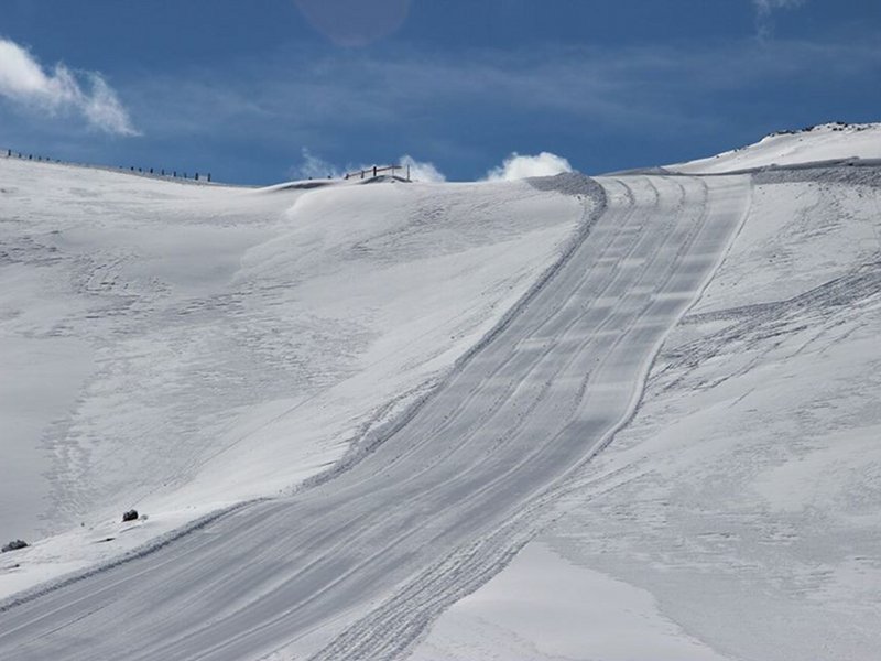
Short ring route leading to the characteristic pyramid of Mount Cotento. Once reached Campo Staffi take the ski lift to climb towards the small ridge and then southwards to the little lake beneath. Go on along the wood on the right and climb the rocky pass west (Sella del Colle Le Lisce).
Further information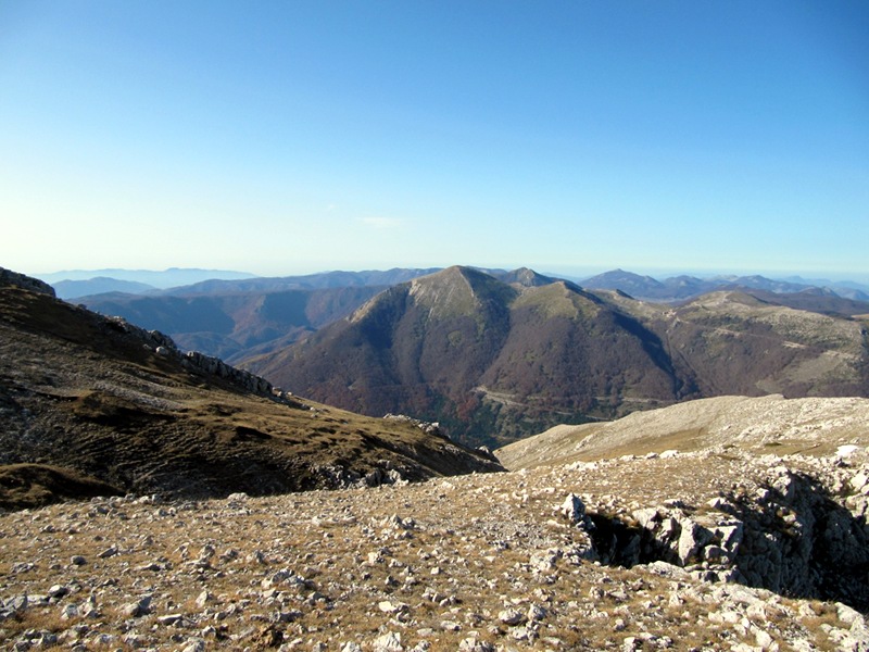
Route 696c
 Download KMZ
 Download in GPX format
Points of Interest
Books and Guides

Protected Area(29.990,00 ha)

Lay-out of the itinerary

Departure

Arrival

Park Authority Offices

Visitor Centers (9)

Where to Sleep* (1)

Municipalities (8)

Points of Interest (78)

Photos (153)

Videos (21)

Pic-Nic Area (36)

EV charge ≥100kW (286)

E-Bike charging (9)

Airports (1)

Highway exits (1)
*: only Operators with Accommodation Page


© 2024 - Parco Naturale Regionale Monti Simbruini