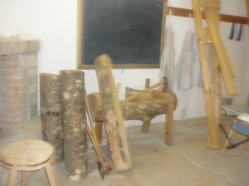
Points of Interest
Cultural Features
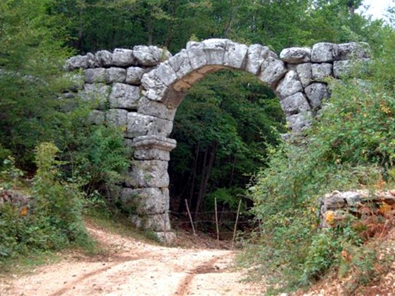
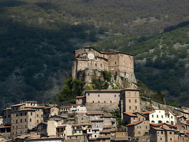
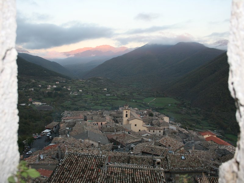
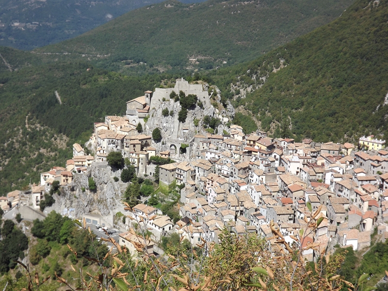
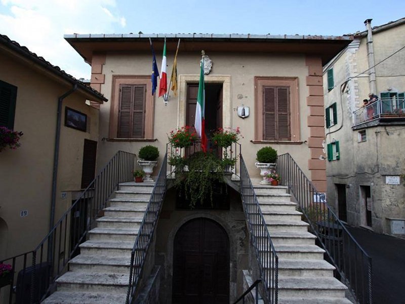
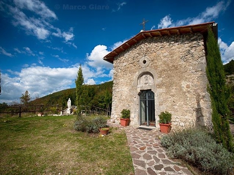
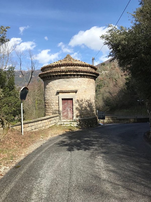
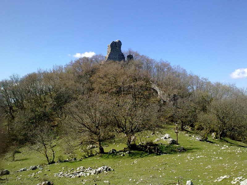
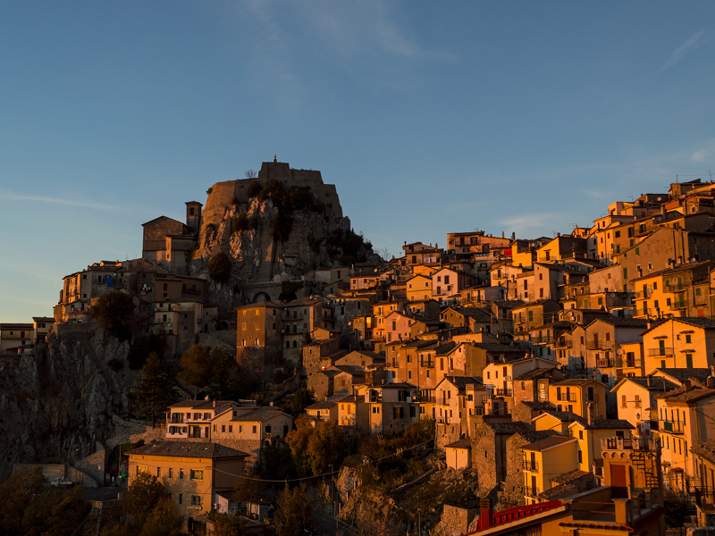
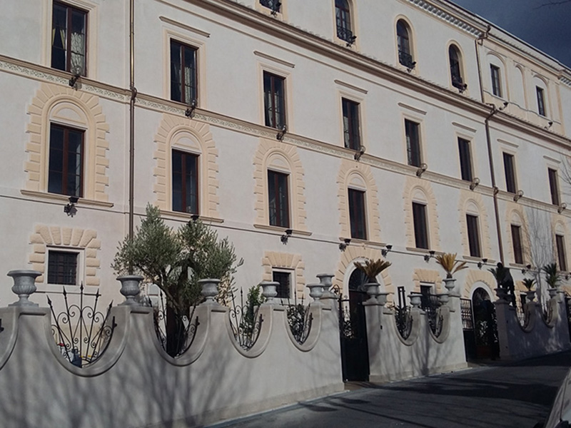
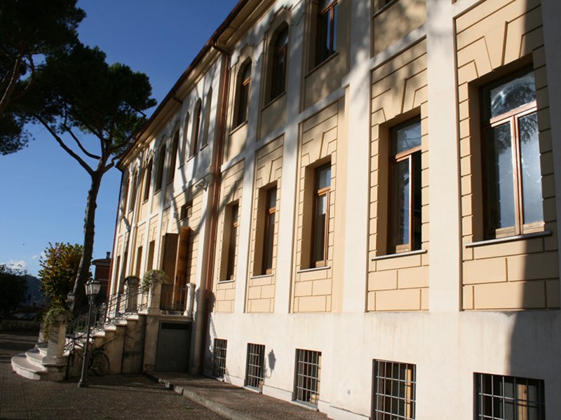
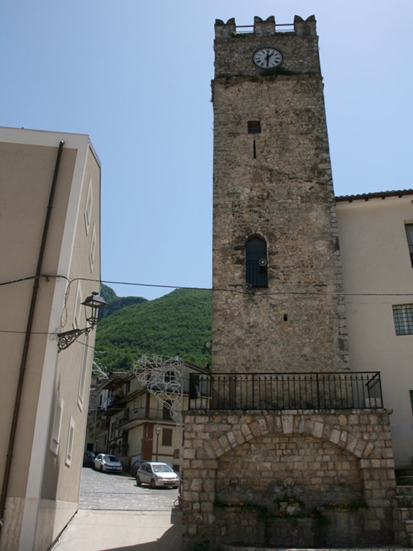
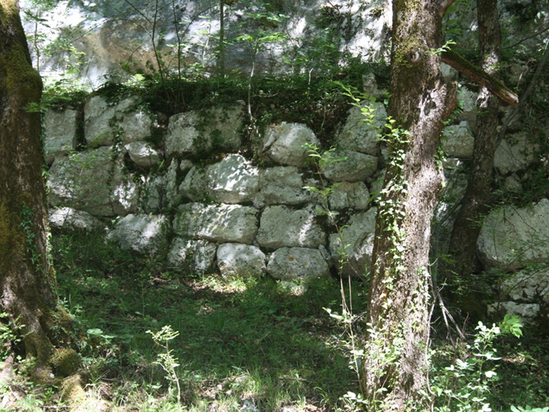
The Park could be visited from a historical point of view, in an excursus that embraces past centuries and millennia: from the "Saracenic" walls of Filettino (IV-V centuries BC) to the ruins of the ancient Camerata, set on fire in 1859, passing through the center of Jenne with the castle where Pope Alexander IV was born and the Castle Caetani of Trevi in Lazio, extended on 800 square metres.
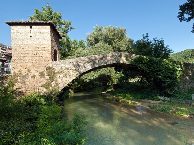
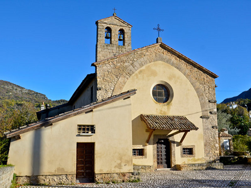
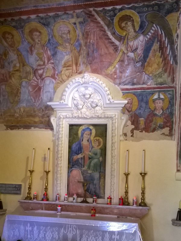
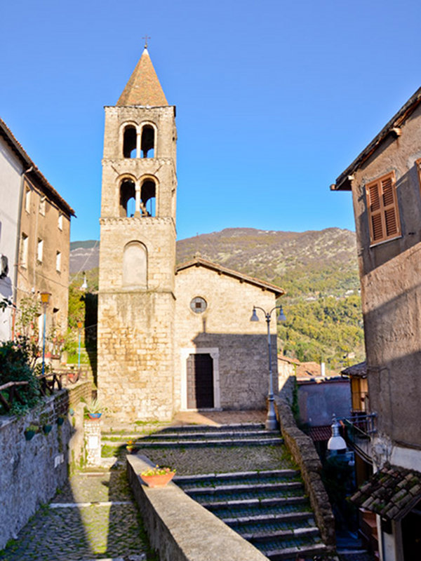
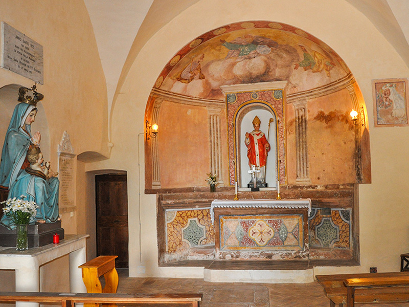
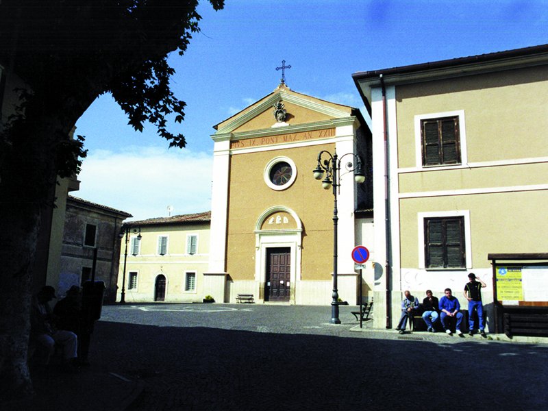
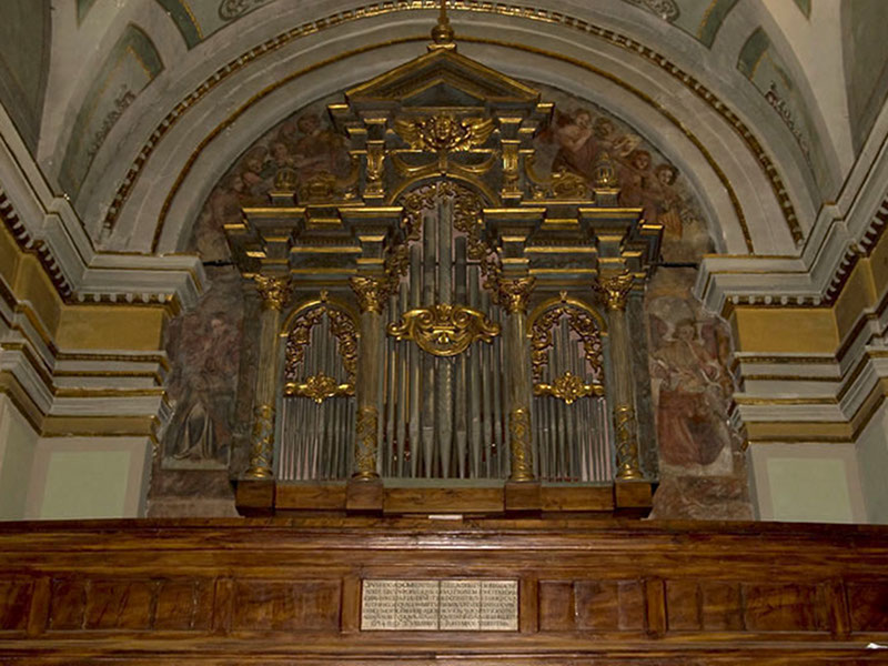
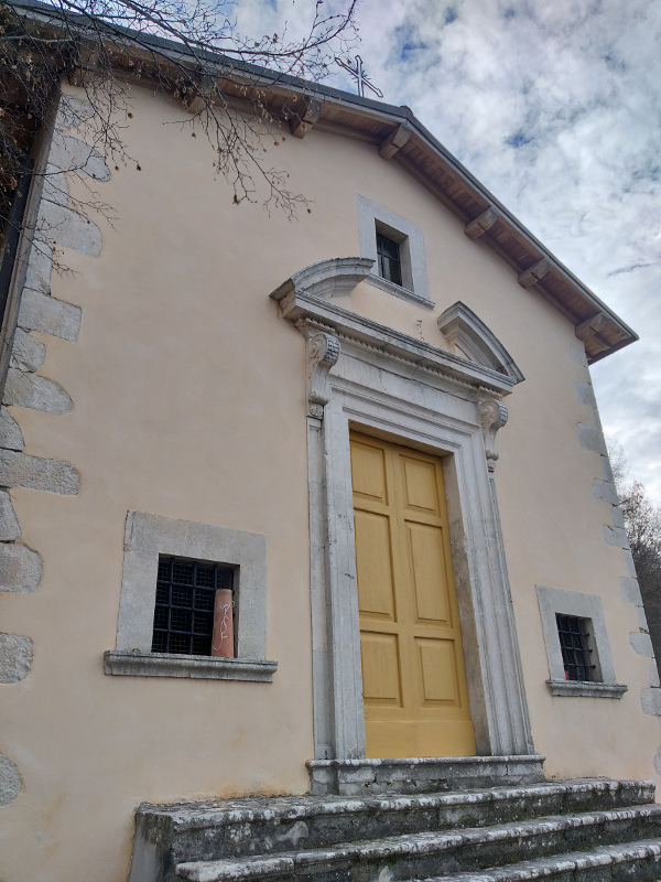
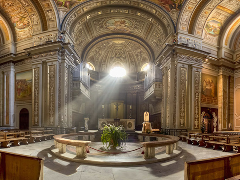
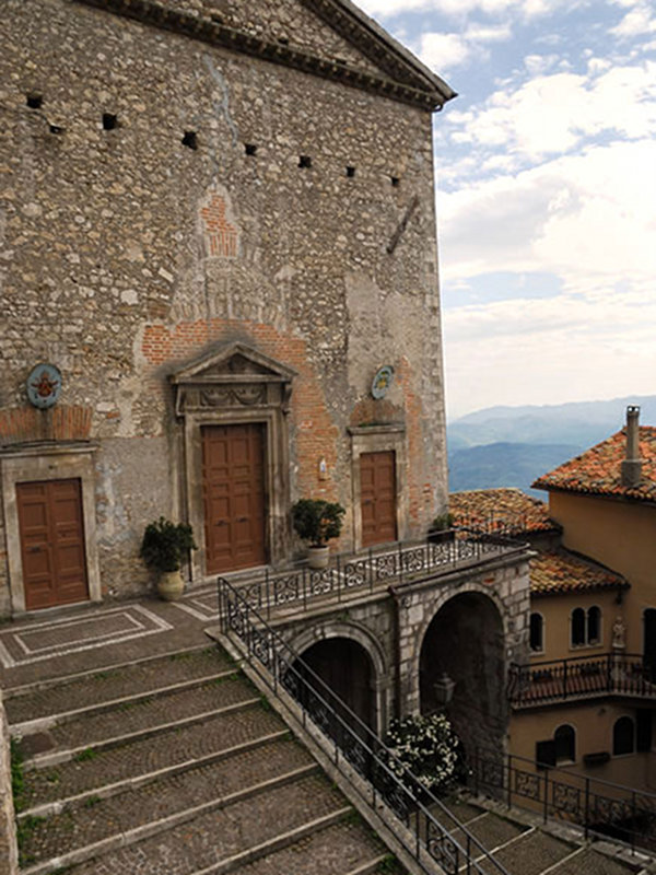
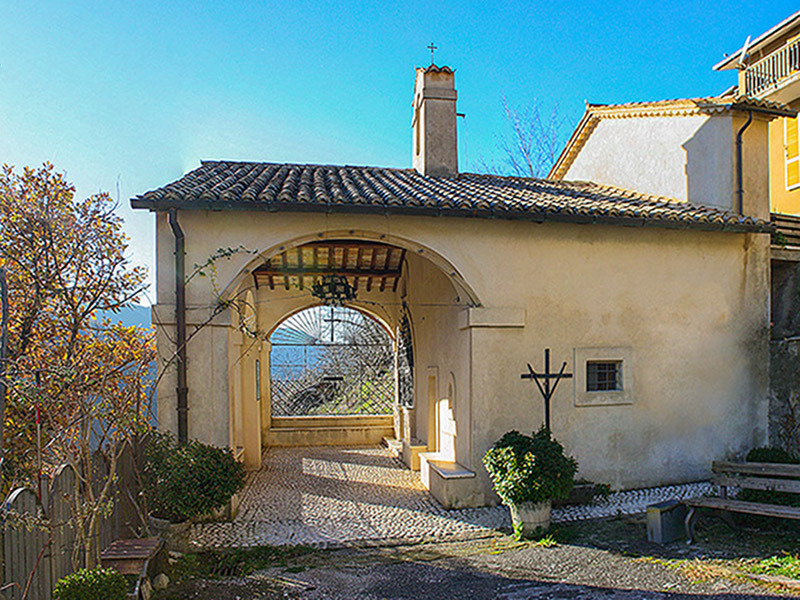
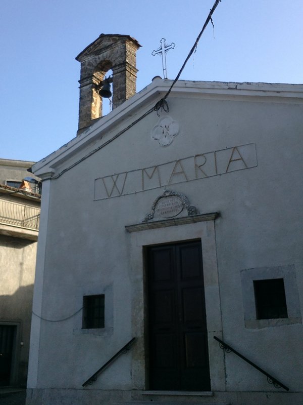
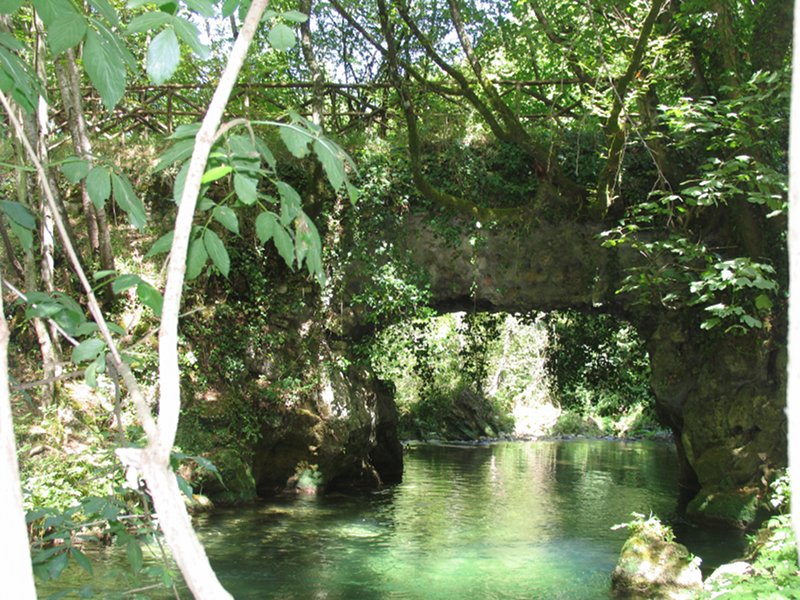
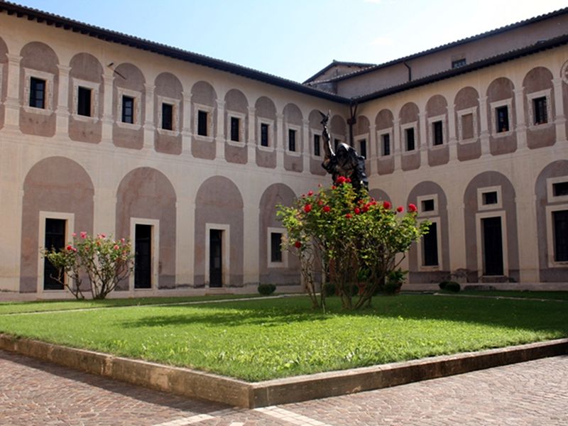
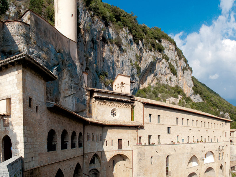
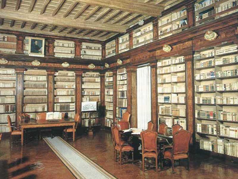
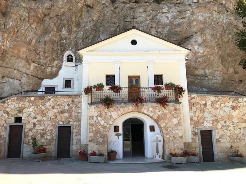
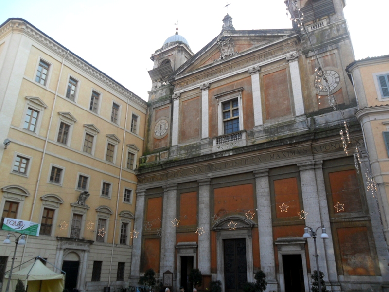
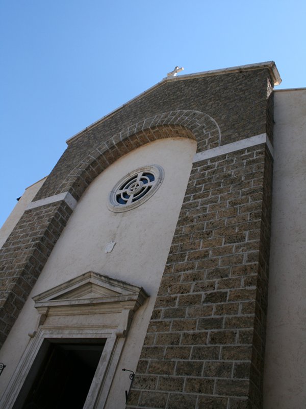
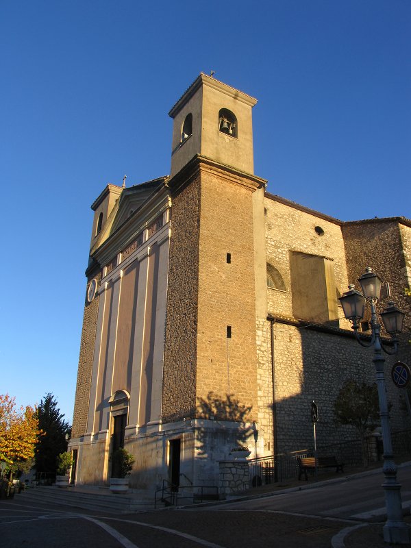
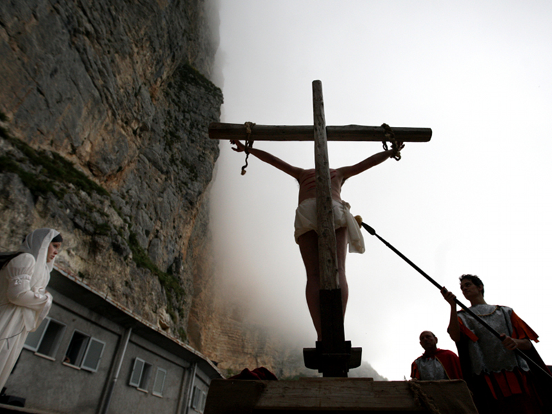
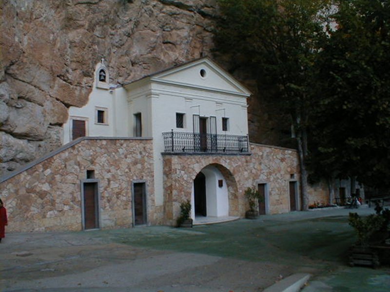
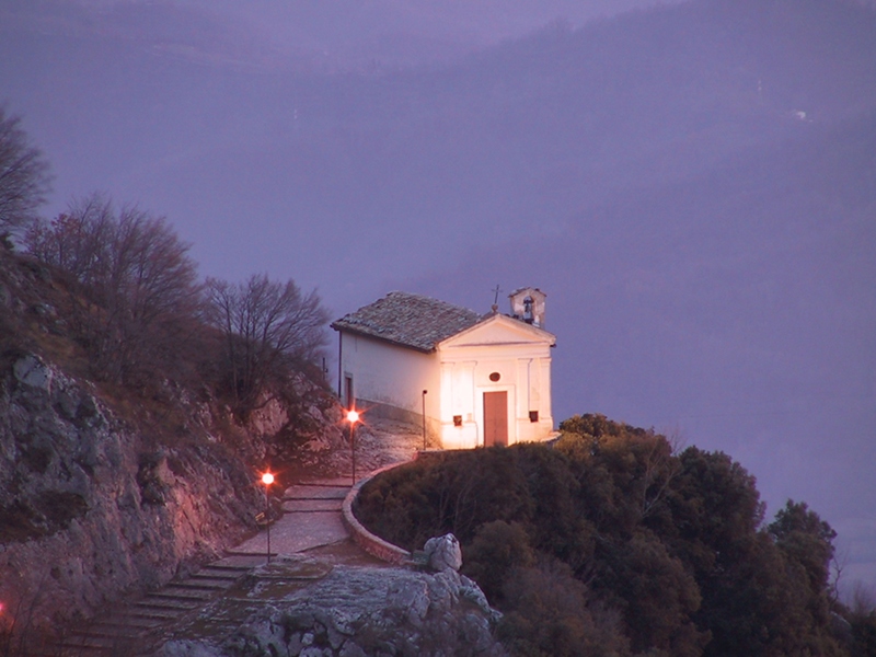
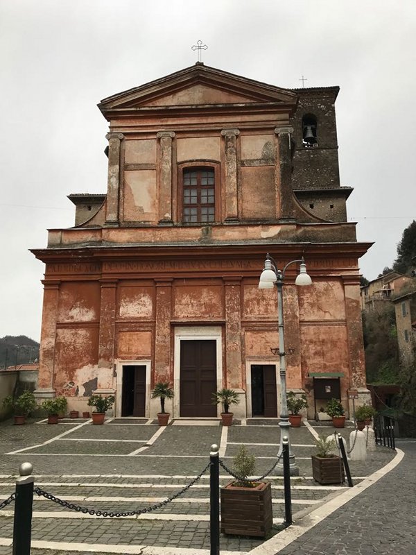
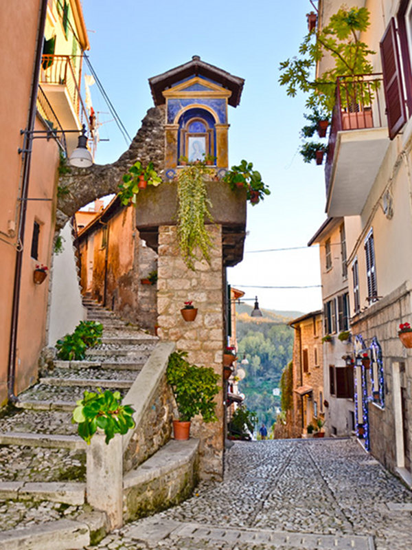
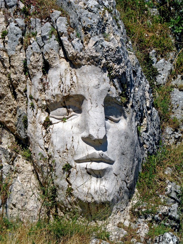
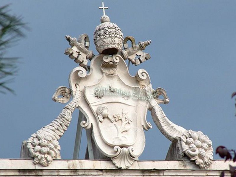
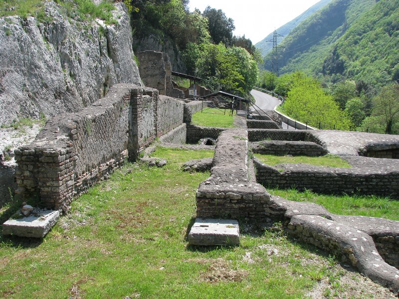
However the two main points of interest are the Sanctuary of Santissima Trinitià in Vallepietra and the center of Subiaco with St. Francis cloister (1327), the Medieval bridge (1356), the triumphant arch (1787), Sant'Andrea co-cathedral (1789) and the district where Cesare and Lucrezia Borgia were born. Outside Subiaco, visiting Valle Santa, there are the ruins of Emperor Nero's villa, built near to the River Aniene barricading and the Monasteries of Santa Scolastica and St. Benedict. Finally Cervara is an open-air museum with its sculptures on the rocks, its alleys and its staircases.


Geological Features
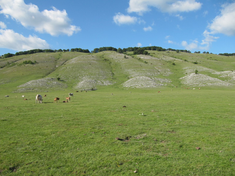
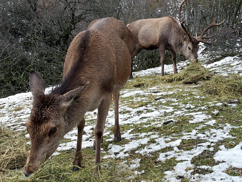
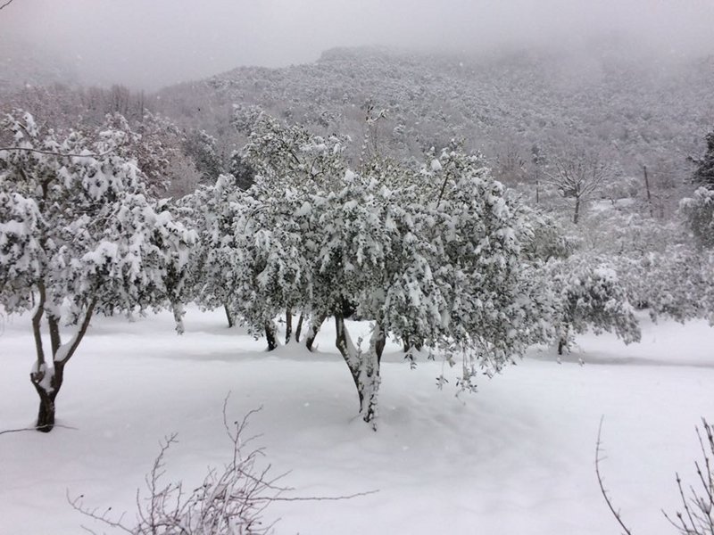
Many are the environments, giving a wide biodiversity to the Park
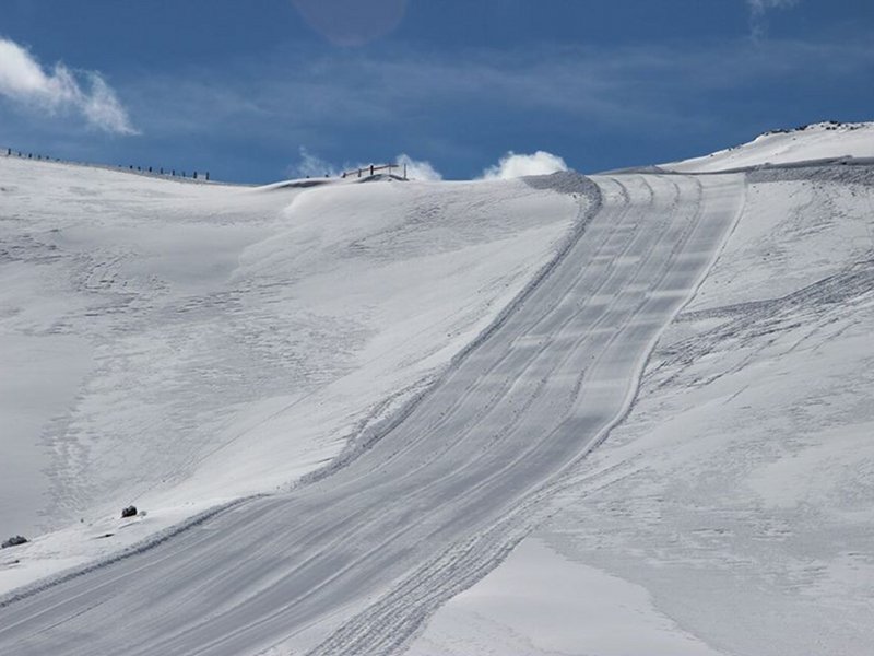
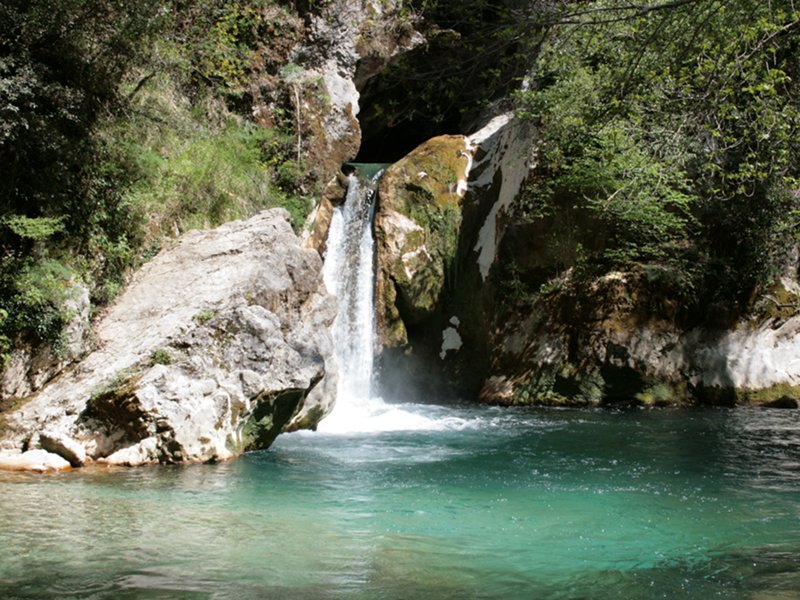
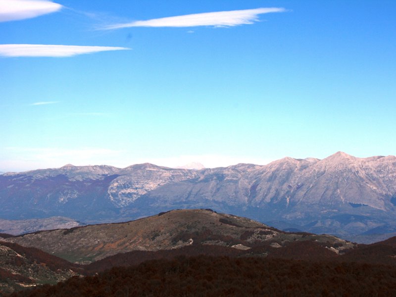
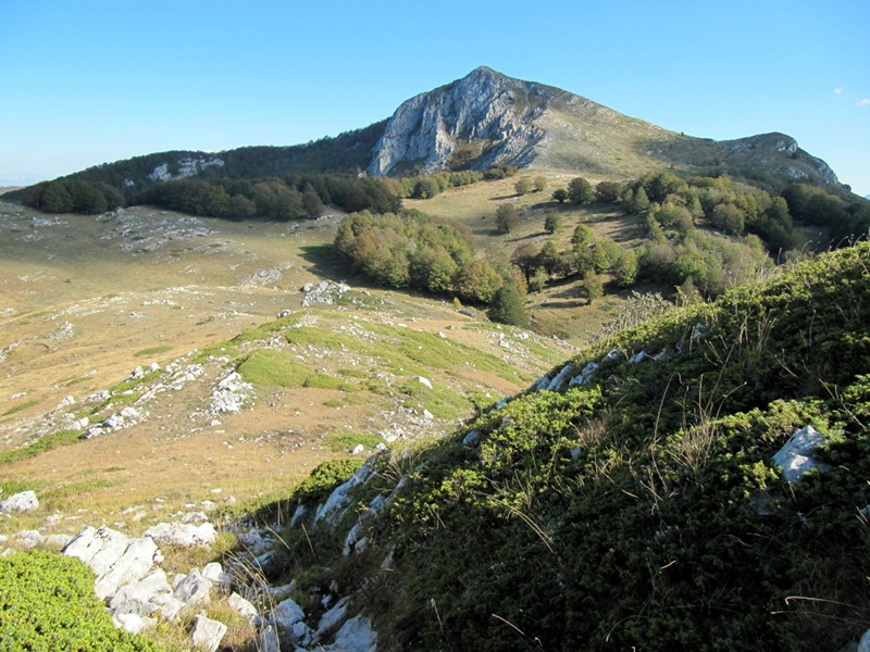
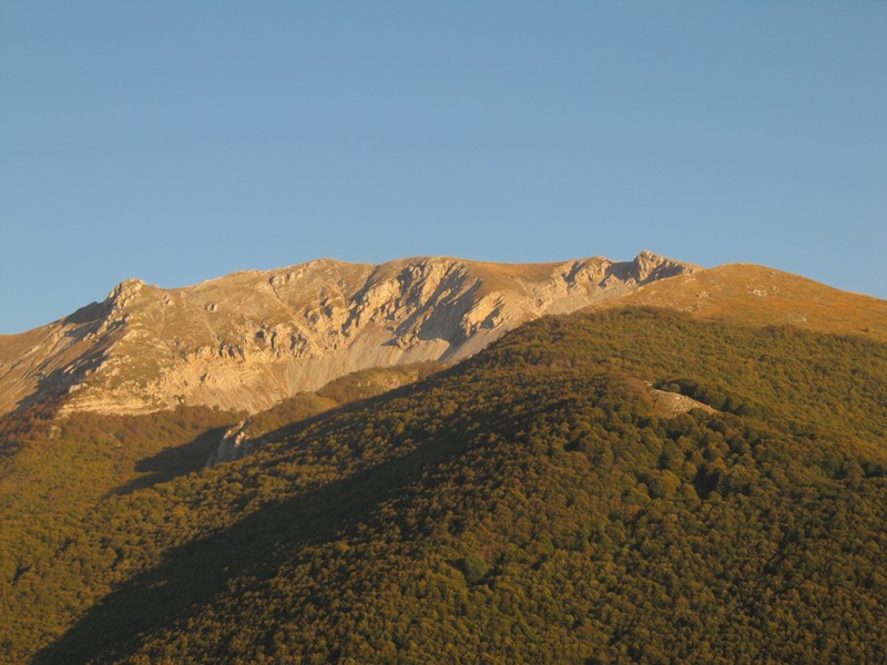
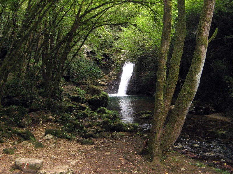
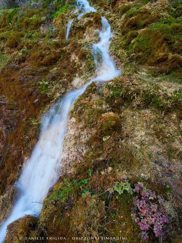
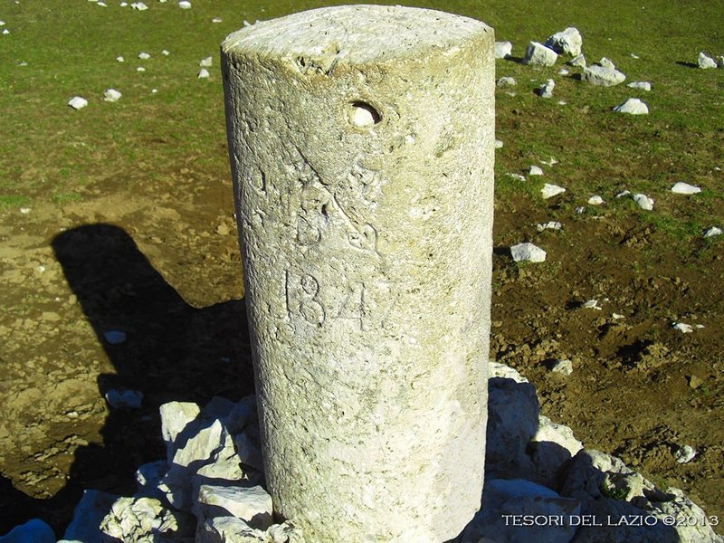
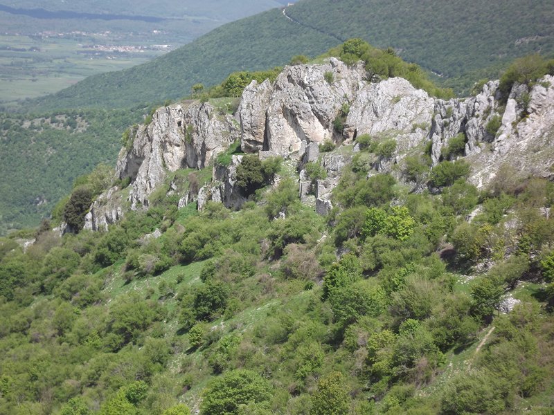
The area, mainly mountainous, is characterized by two streams of water: the river Aniene growing from Fiumata in the Municipality of Filettino (FR) and the stream Simbrivio growing from Vallepietra (RM) under the Sanctuary of SS. Trinità. Among the mountains of Simbruini range, Mt. Viglio (2156 m), Mt. Tarino (1961 m), Mt. Autore (1855 m) and Mt. Cotento (2015 m) could be discovered. This range is interrupted by karstic plains like Camposecco, Campaegli, Campo Buffone, Fondi and Ceraso with dolinas and beech forests.
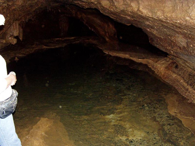
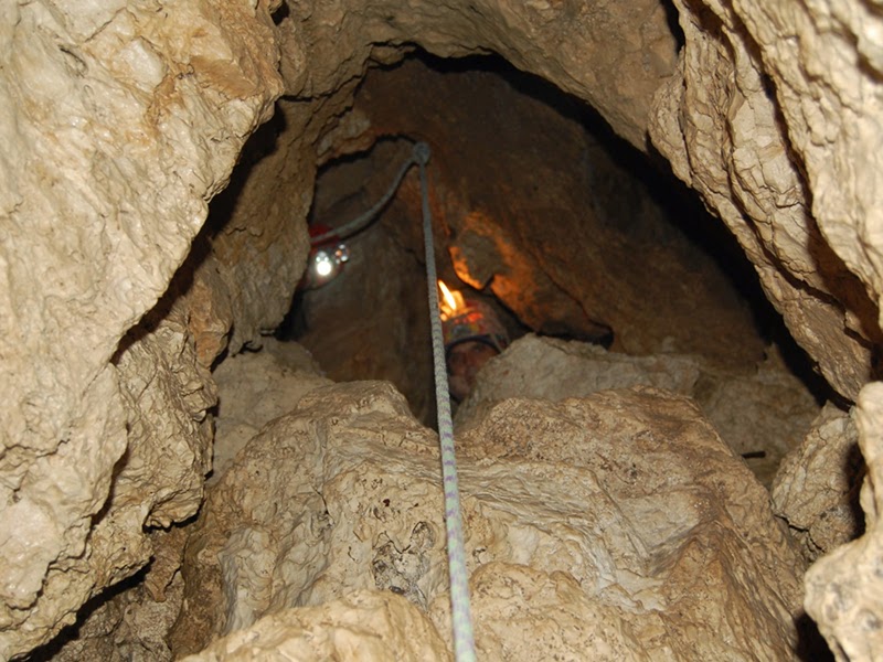
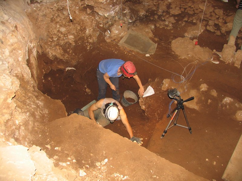
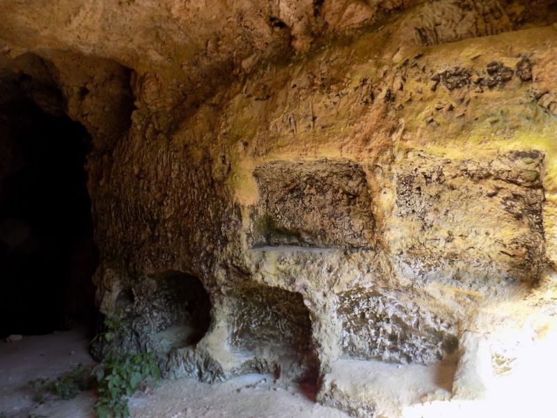
Many are also the caves: the Inferniglio Cave in Jenne (EM), the Pozzo del Gelo in Camerata Nuova (RM) and the Stoccolma Cave in Campaegli (Cervara di Roma, Rm).