Itineraries
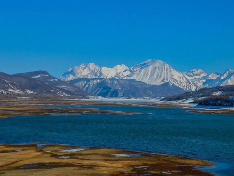
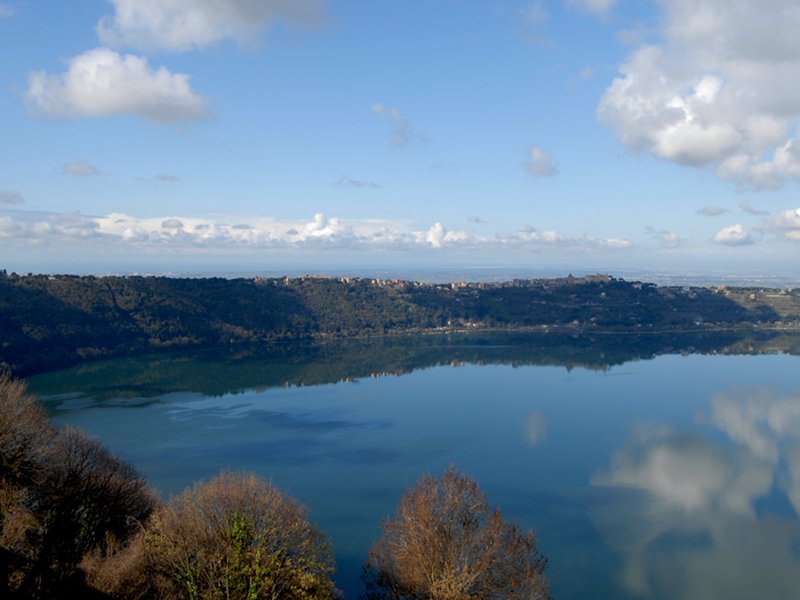
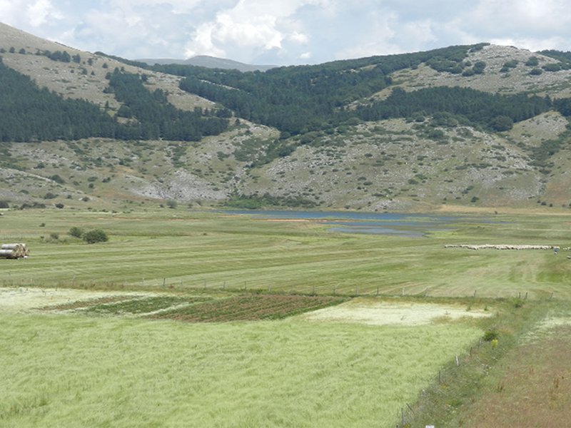
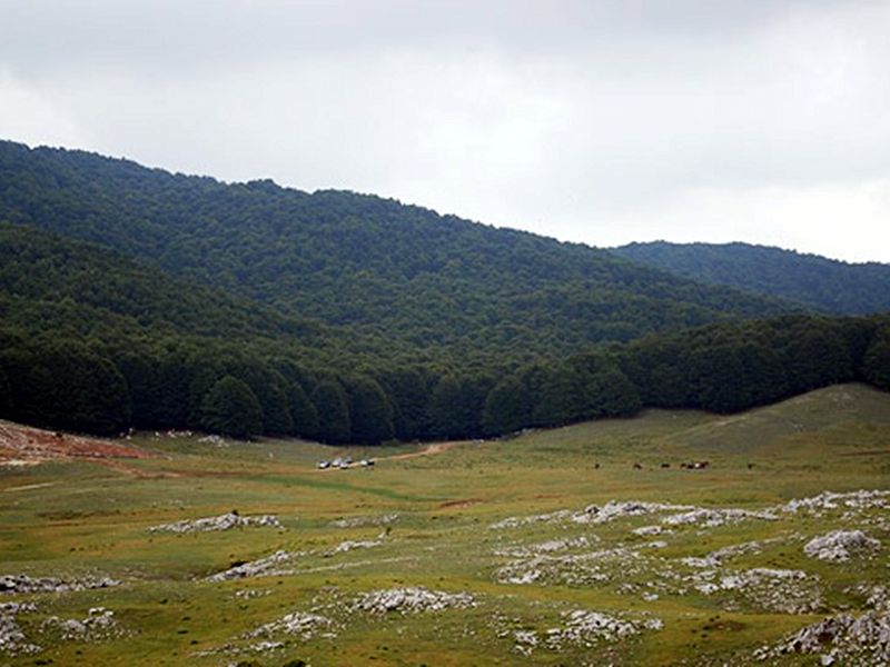
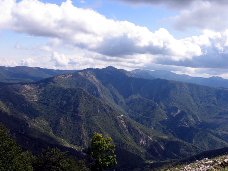
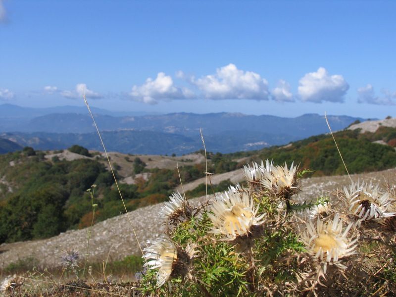
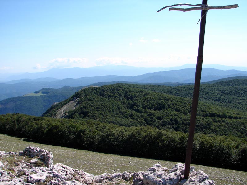
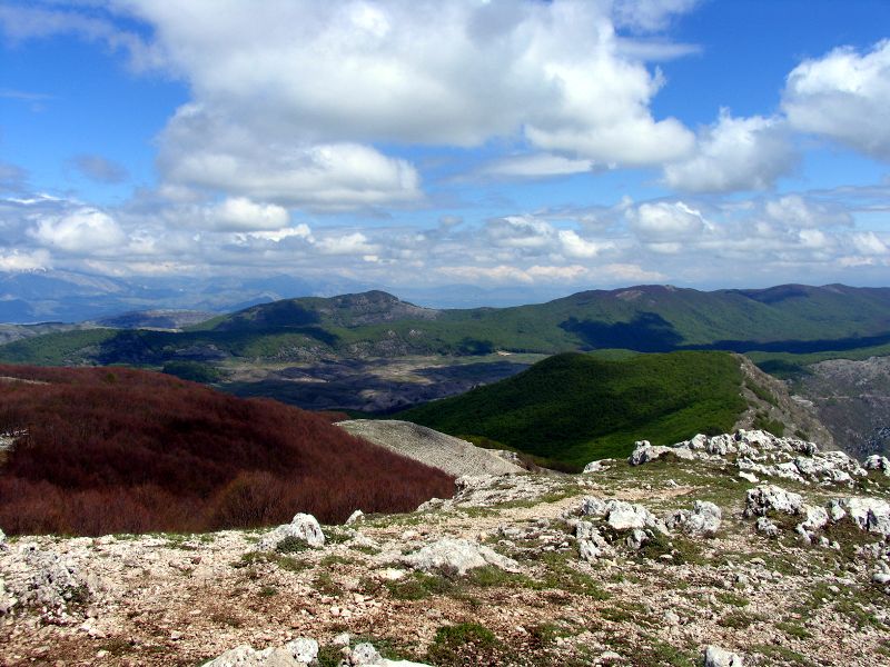
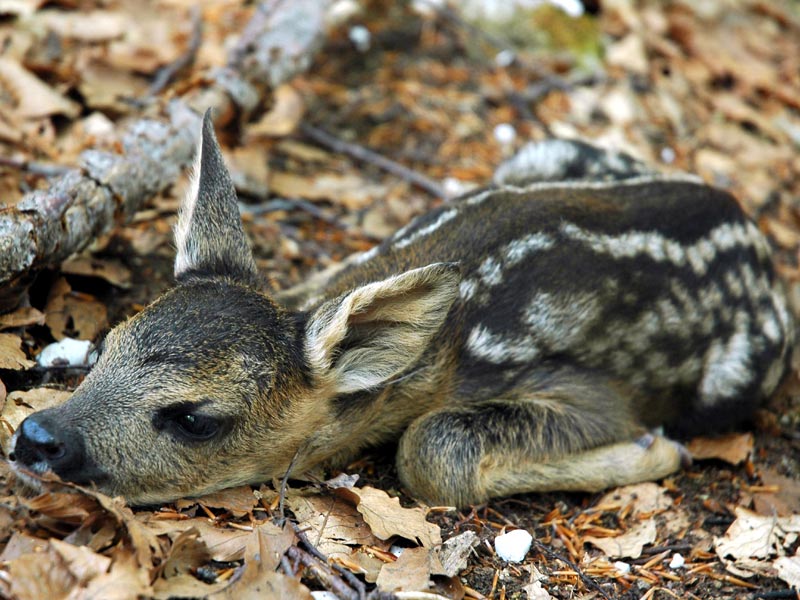
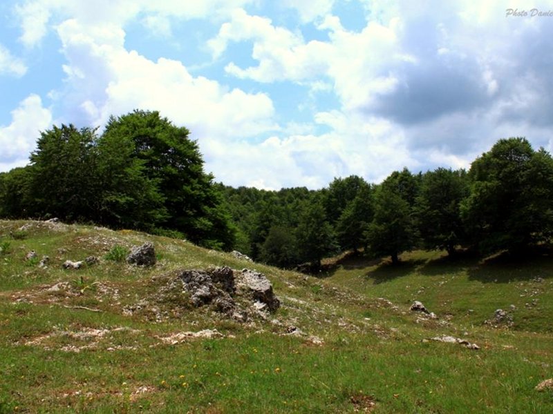
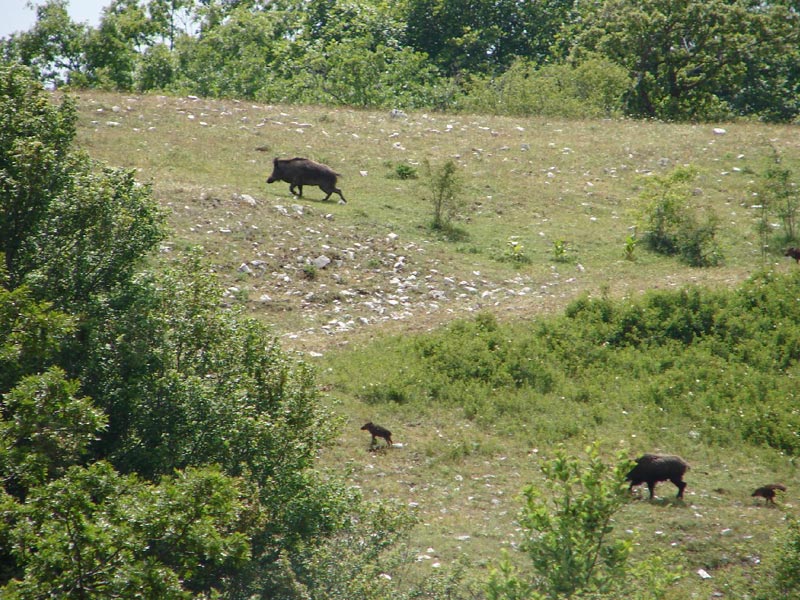
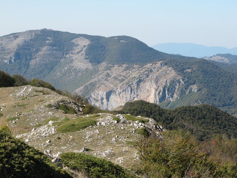
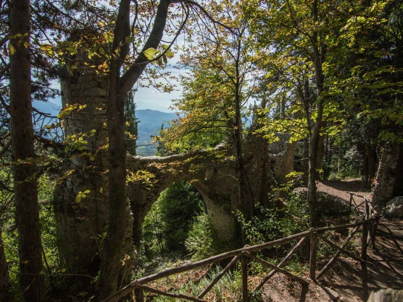
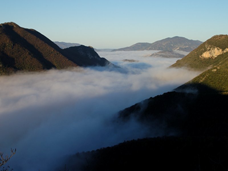
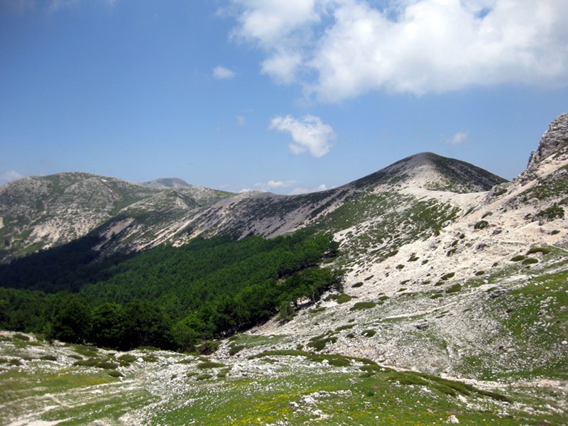
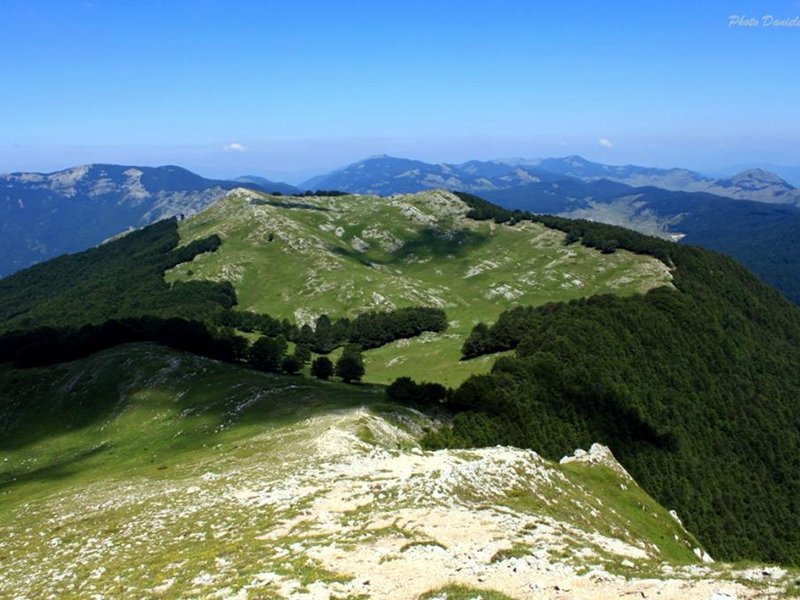
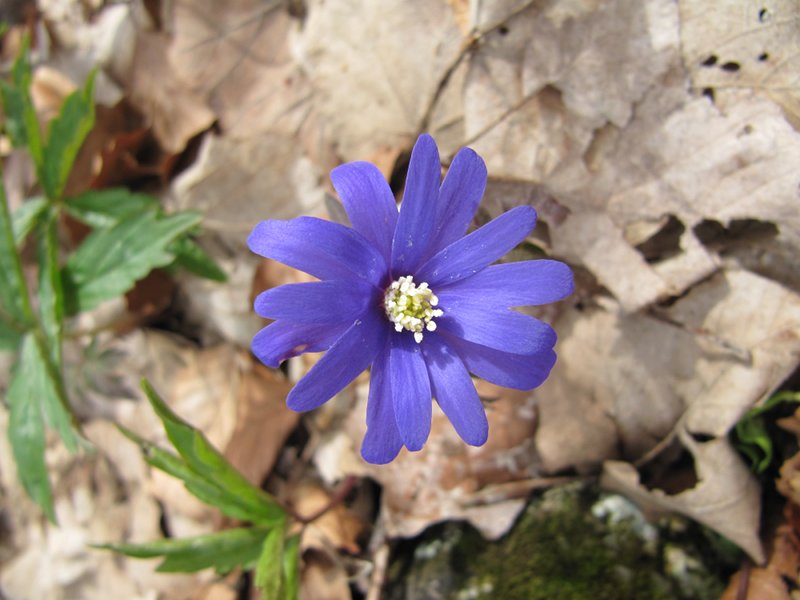
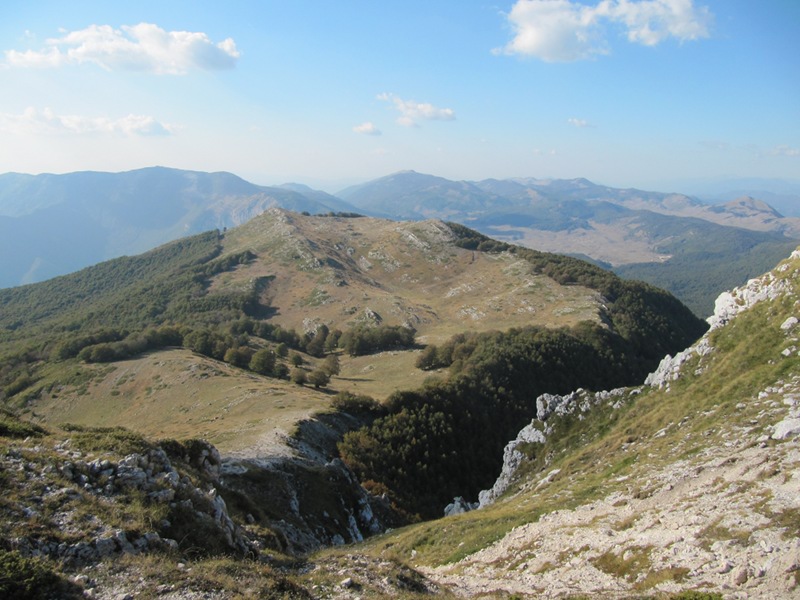
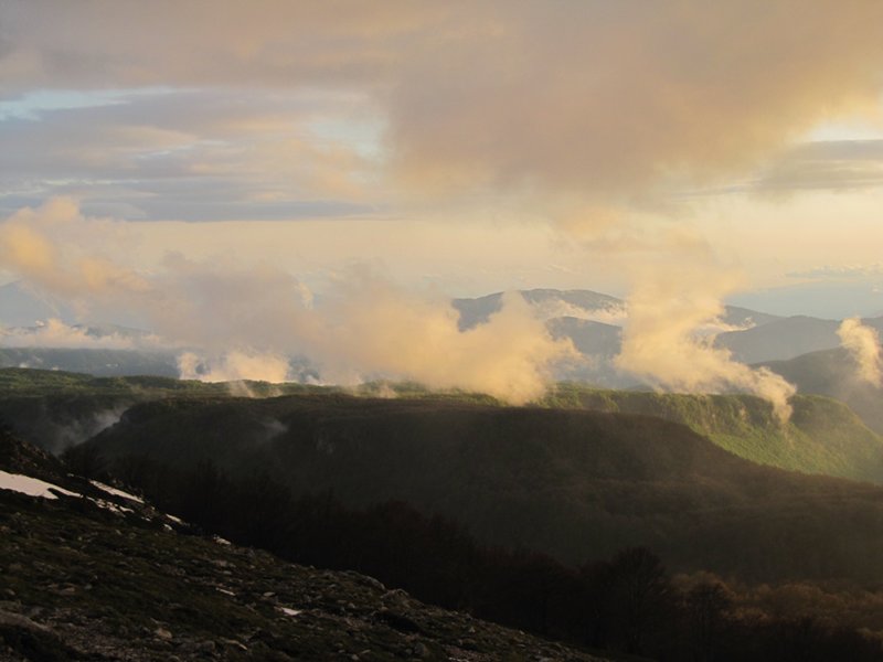
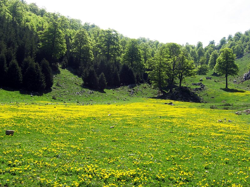
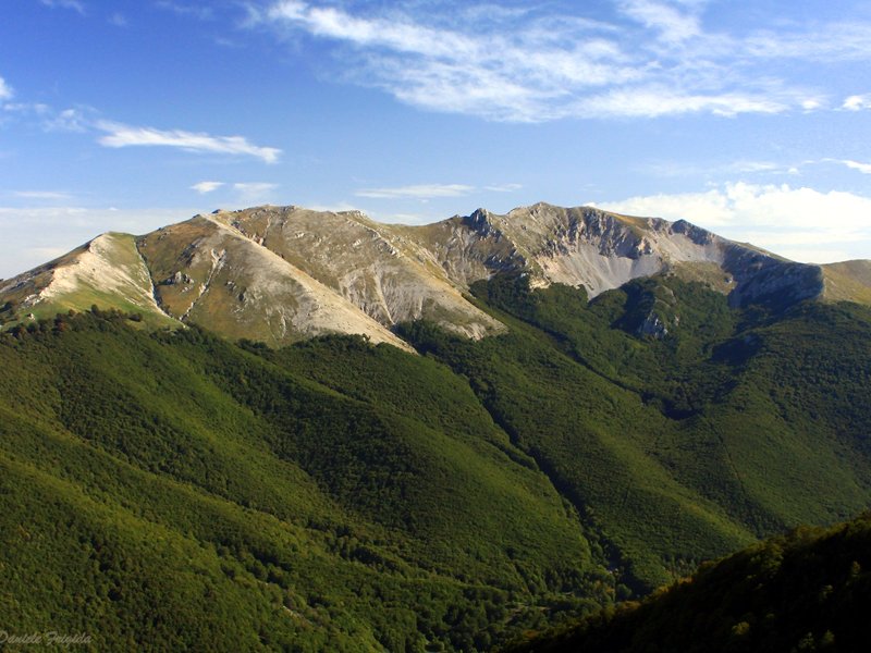
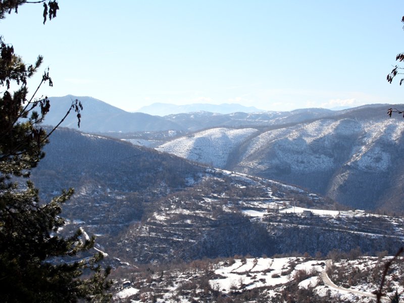
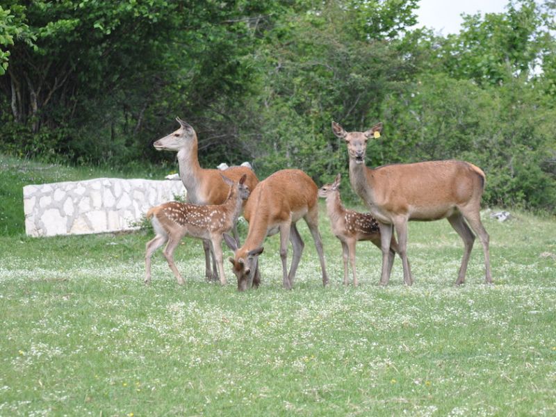
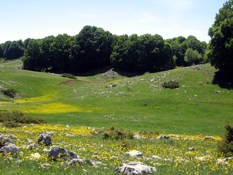
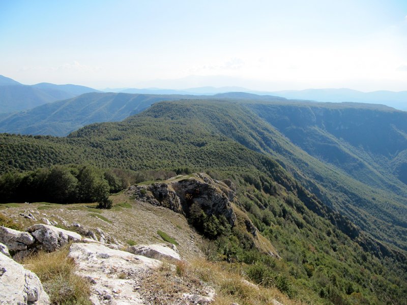
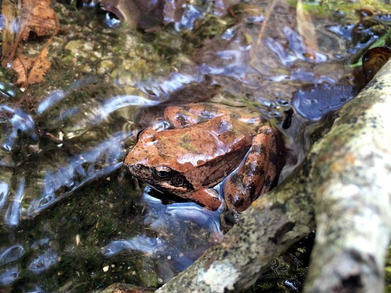
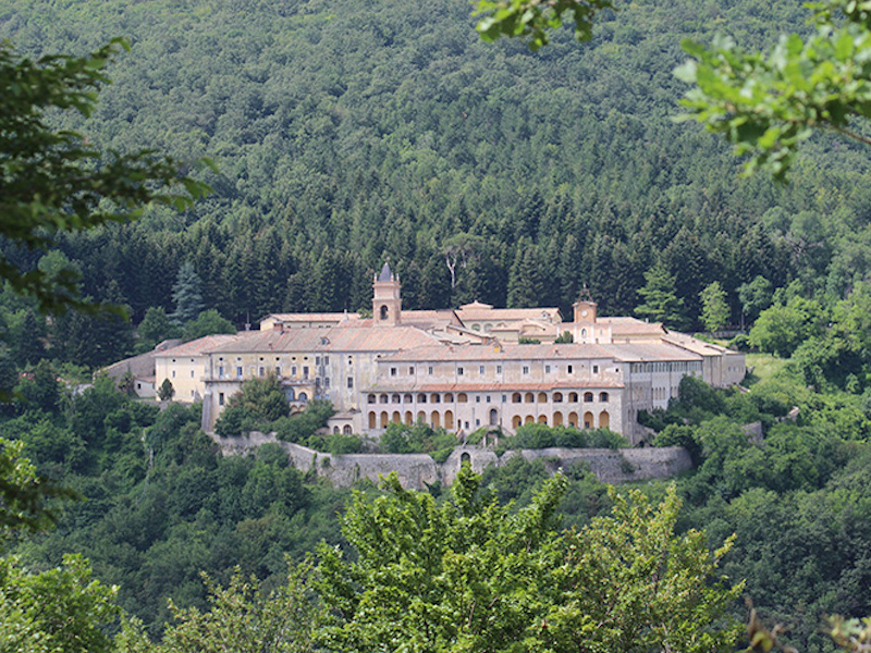
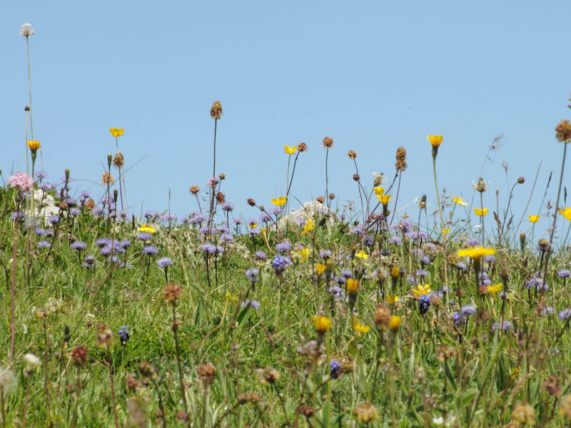
Regional Nature Park of Monti Simbruini represents the Protected Areas of Region Lazio both for its size (almost 30.000 hectares of protected area) and for its biodiversity with many protected and endangered species.
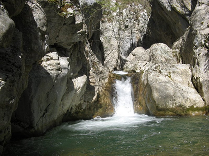
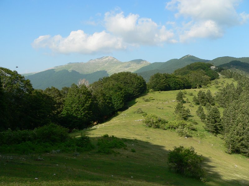
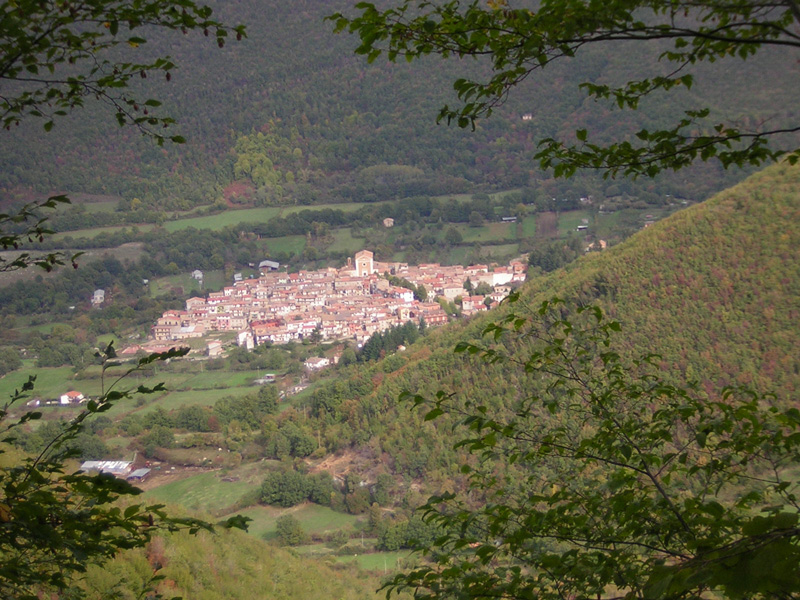
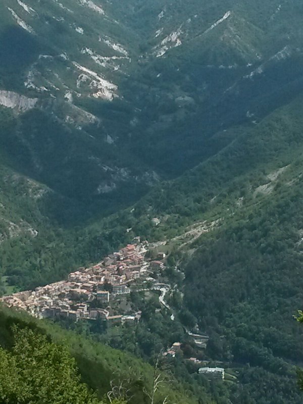
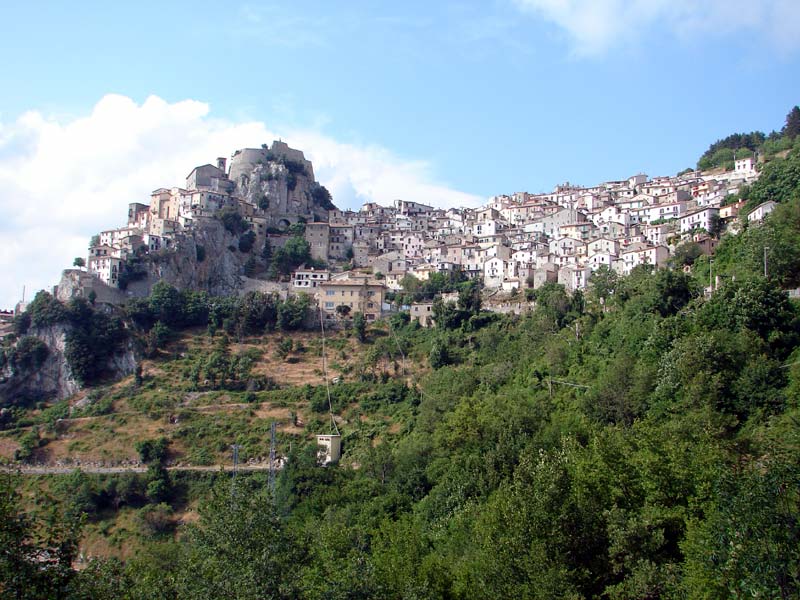
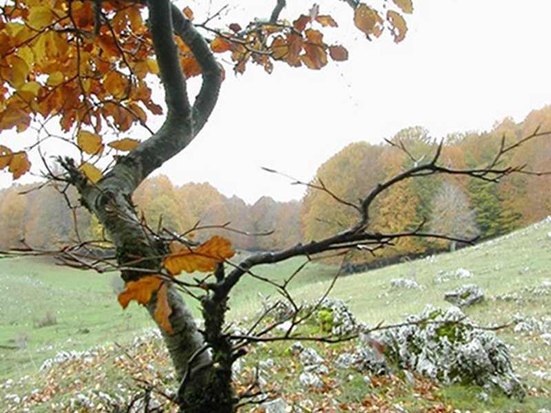
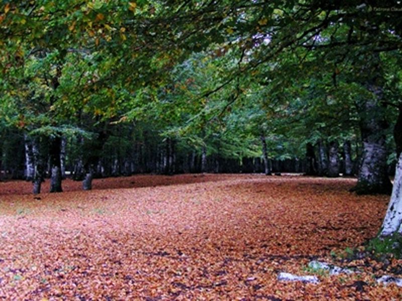
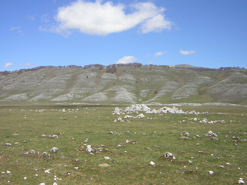
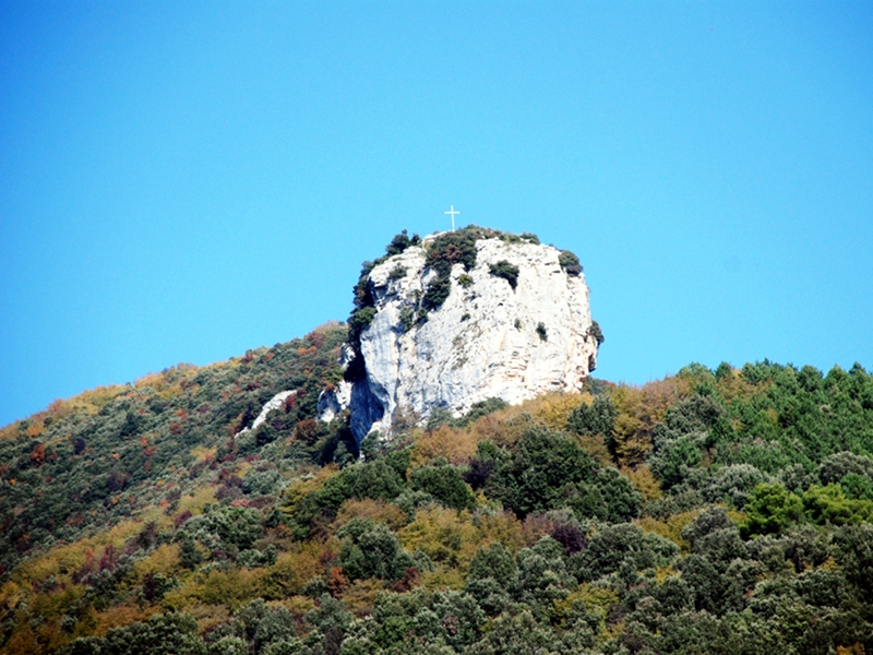
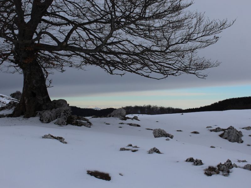
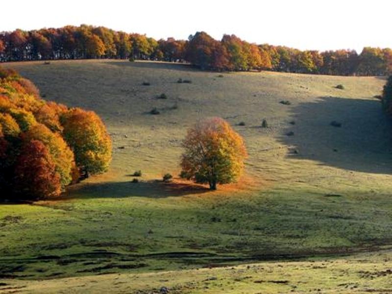
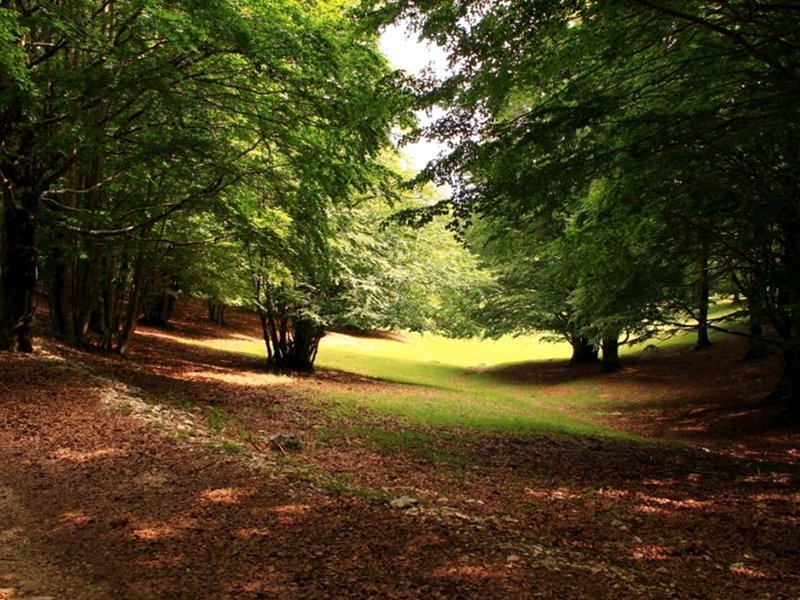
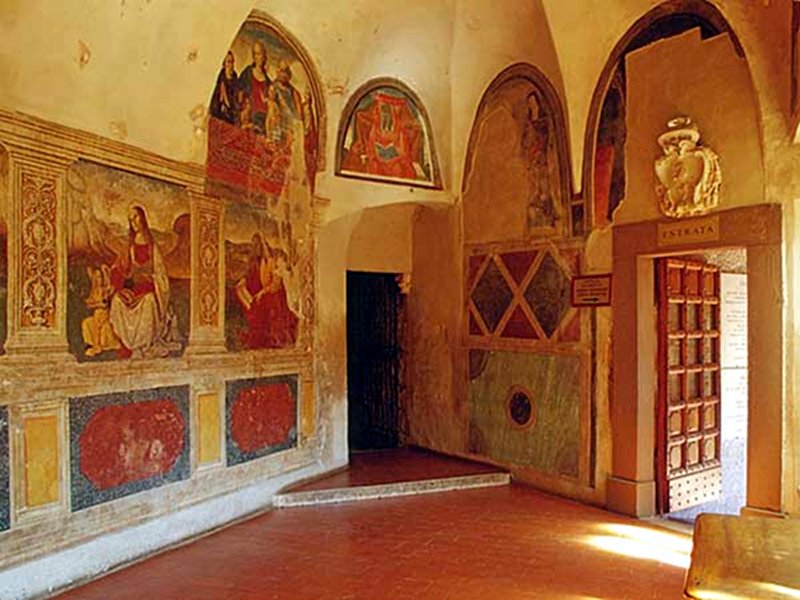
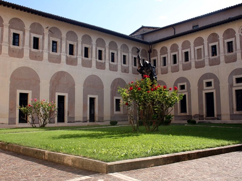
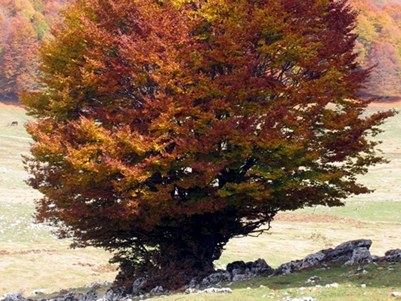
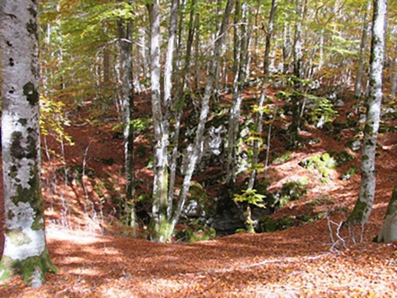
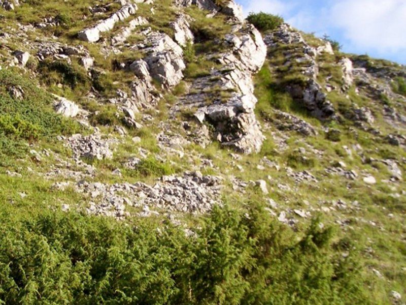
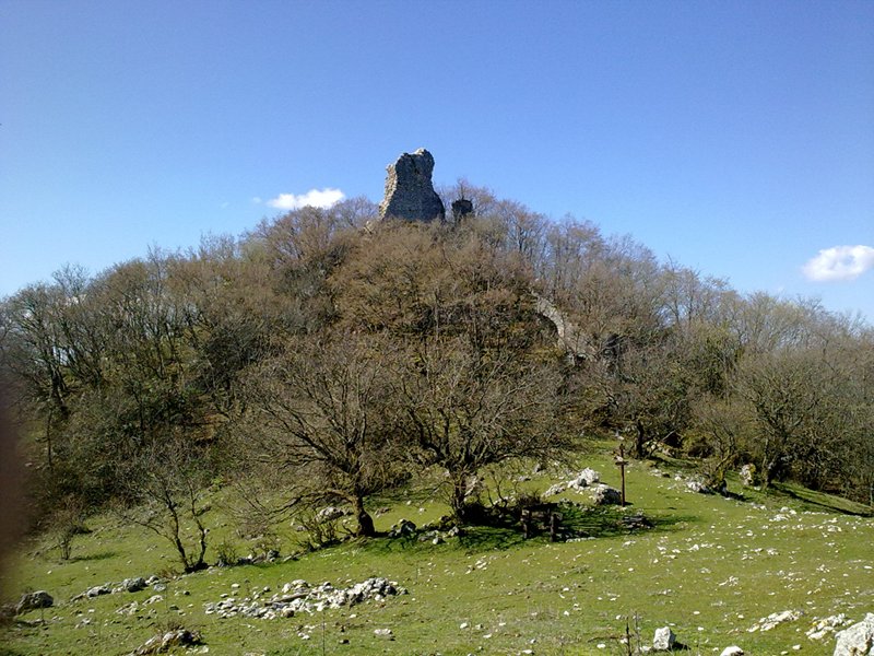
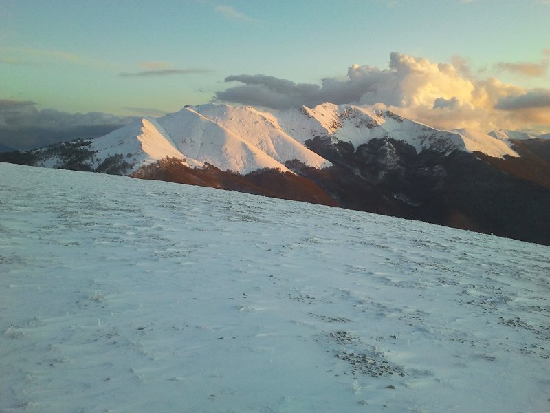
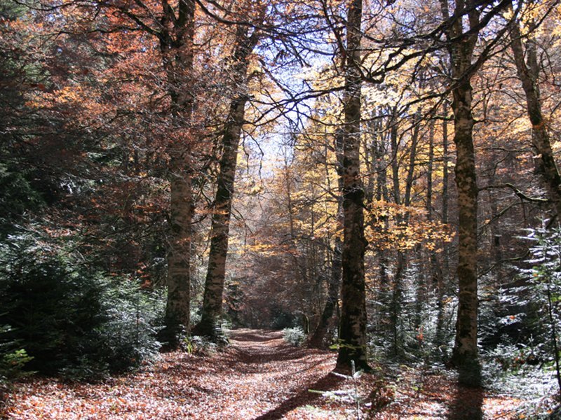
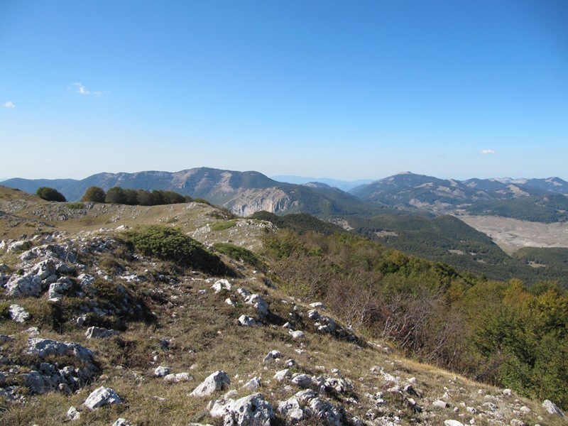
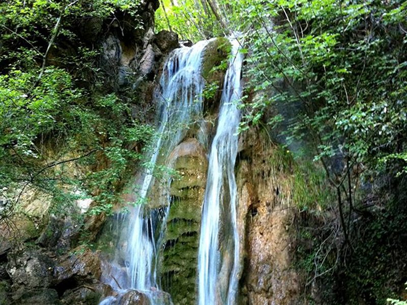
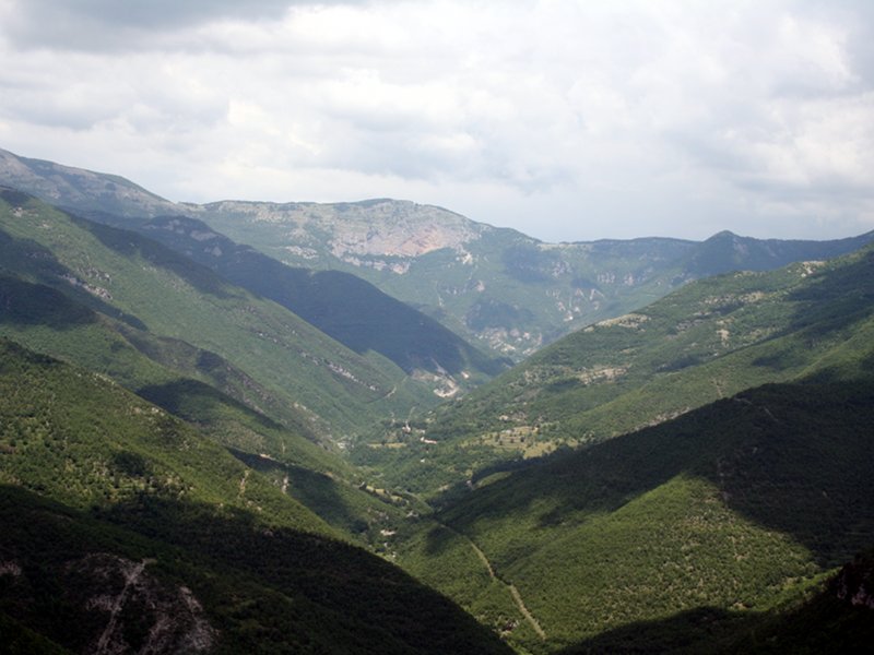
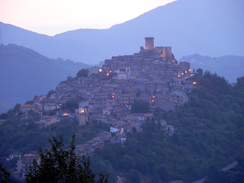
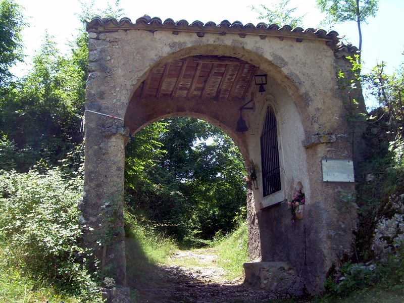
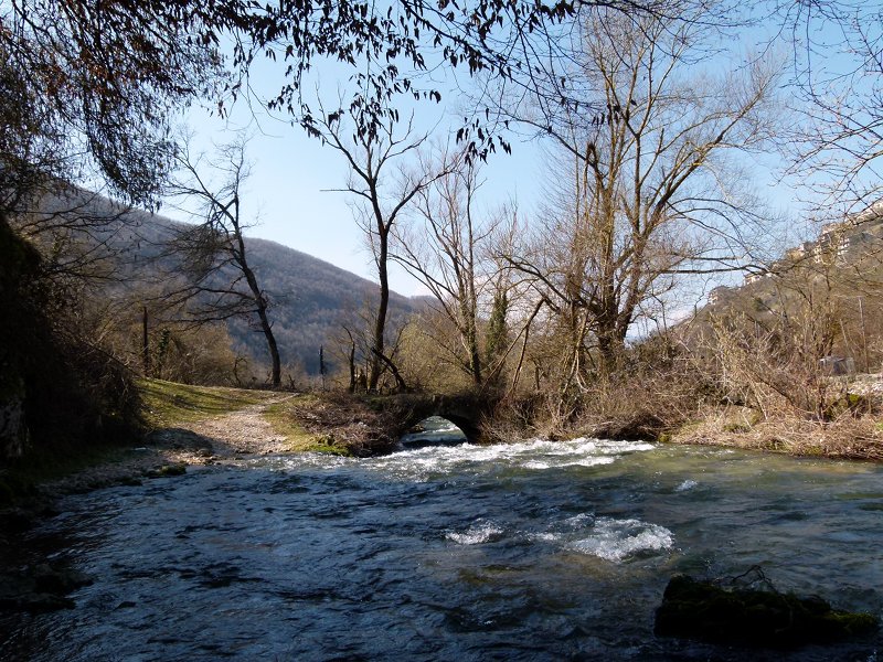
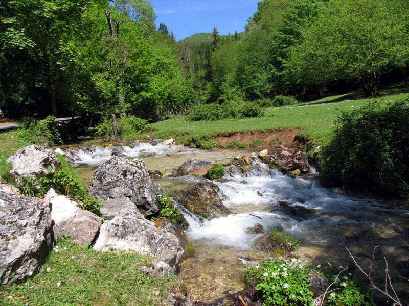
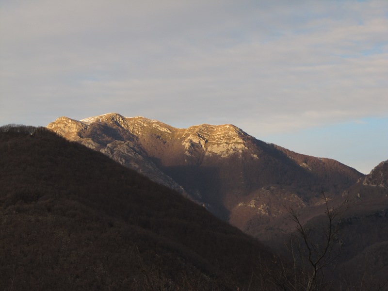
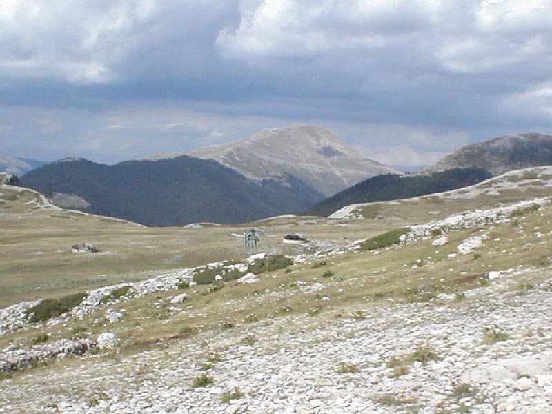
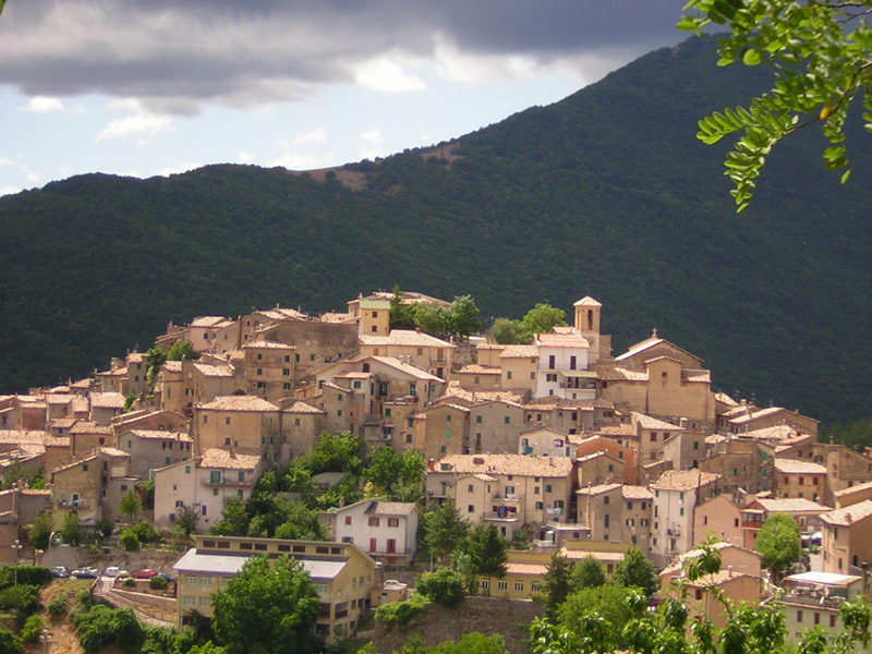
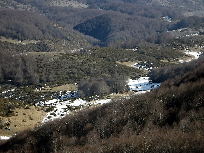
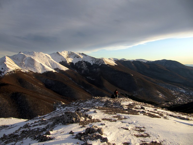
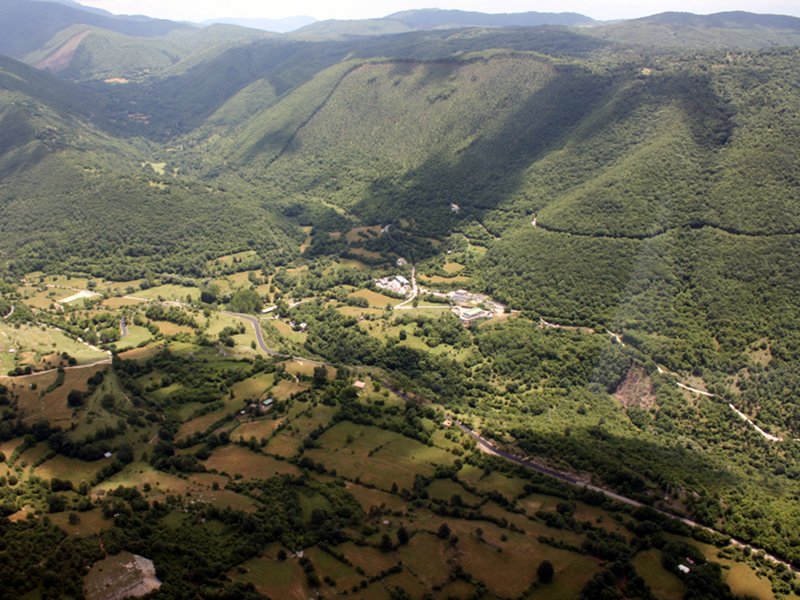
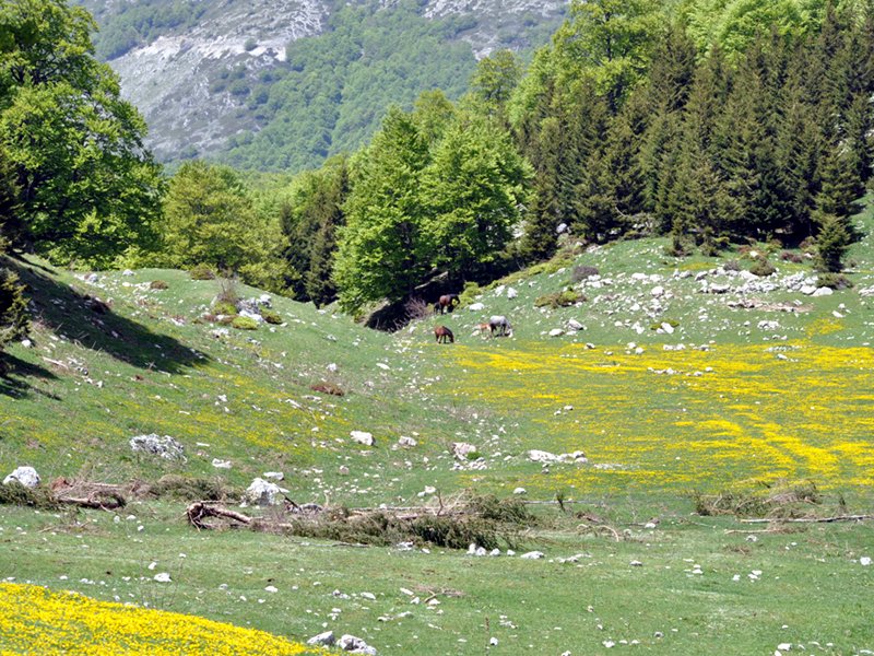
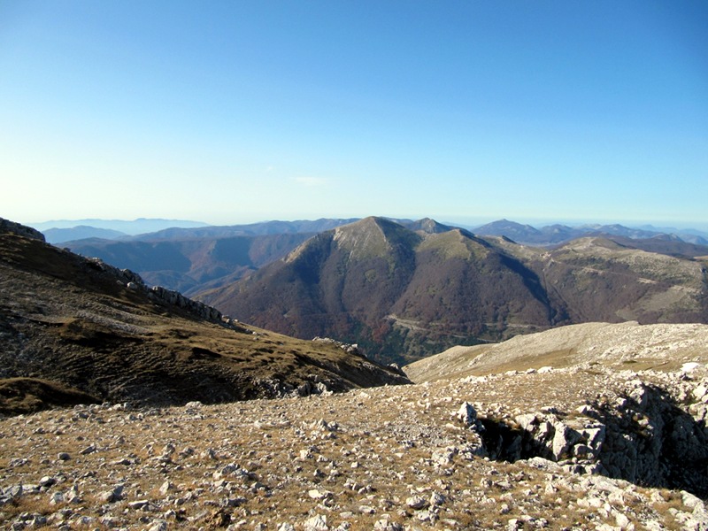
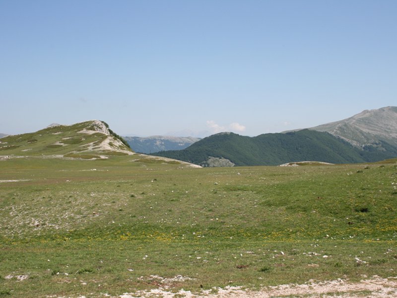
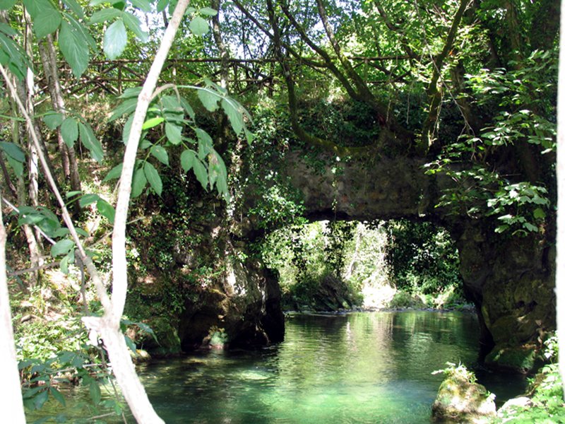
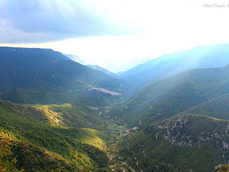
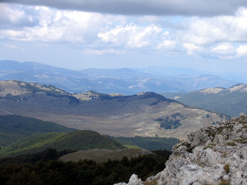
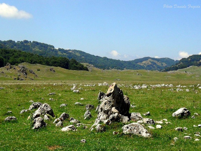
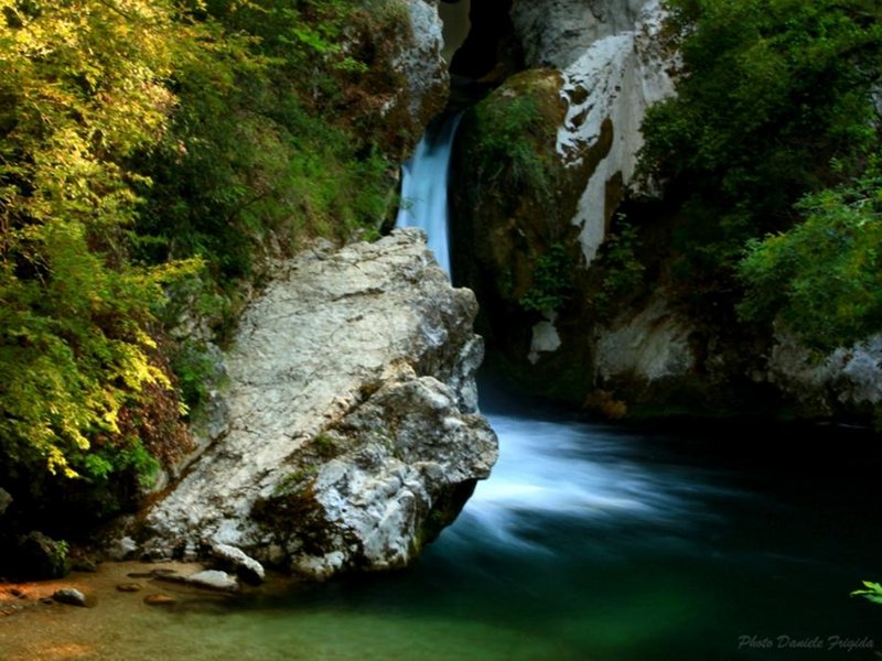
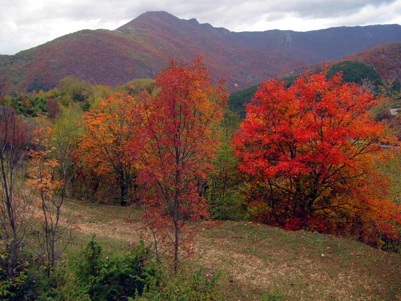
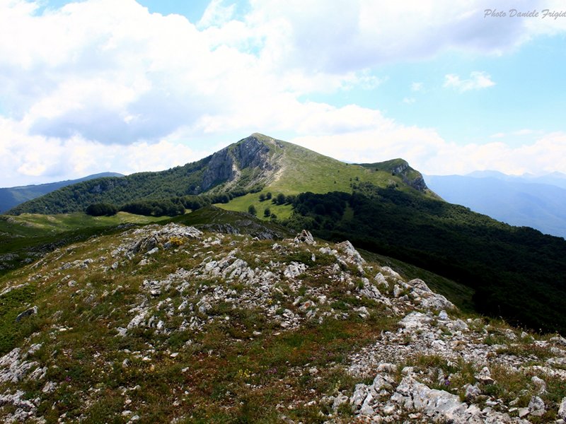
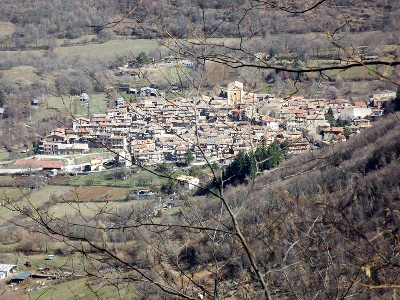
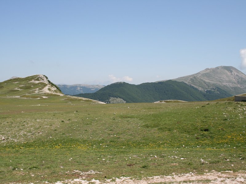
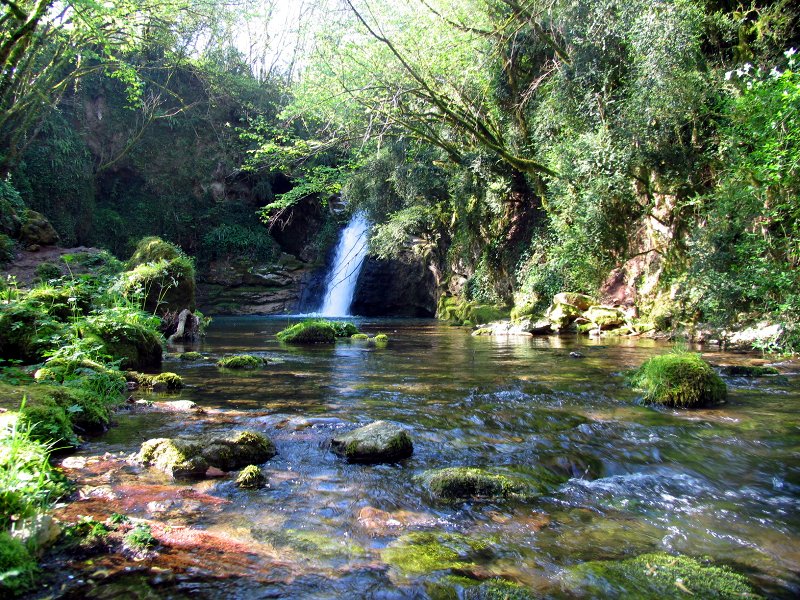
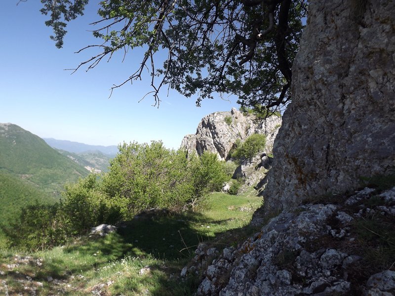
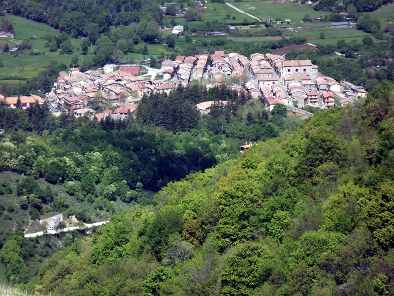
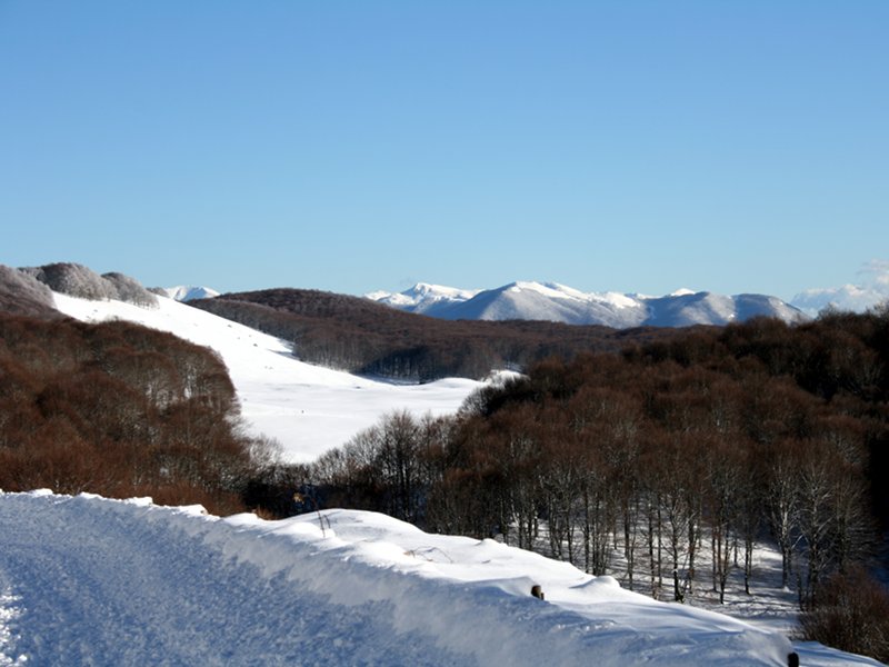
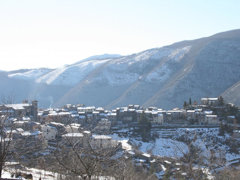
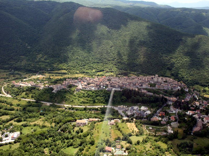
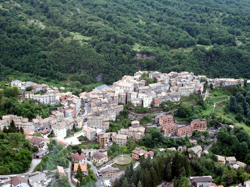
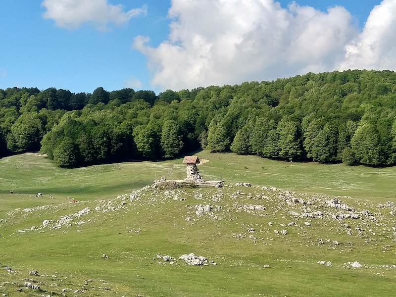
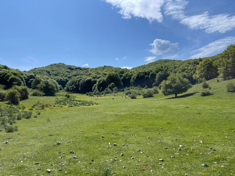
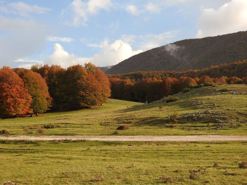
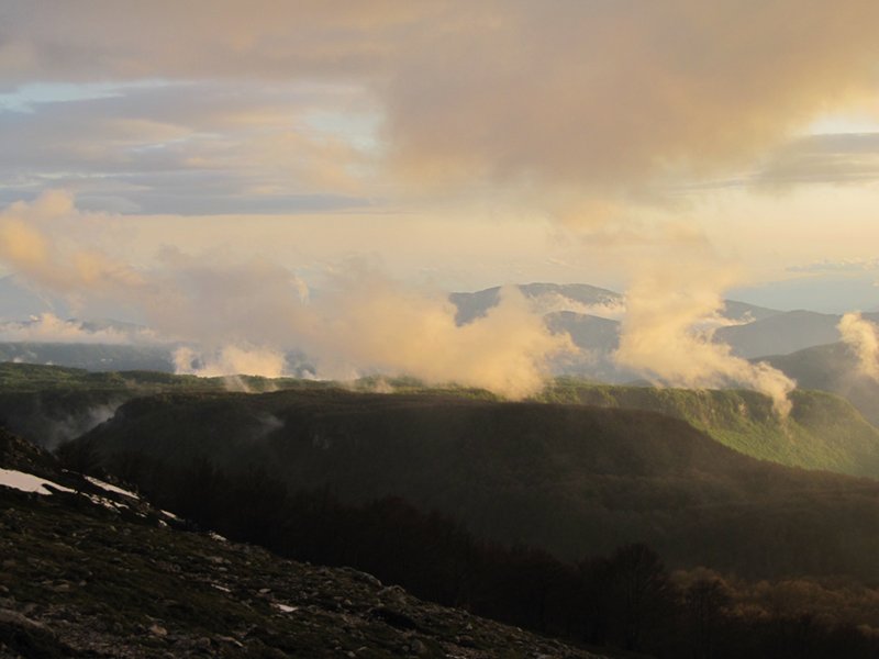
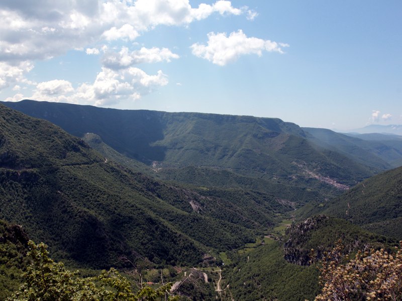
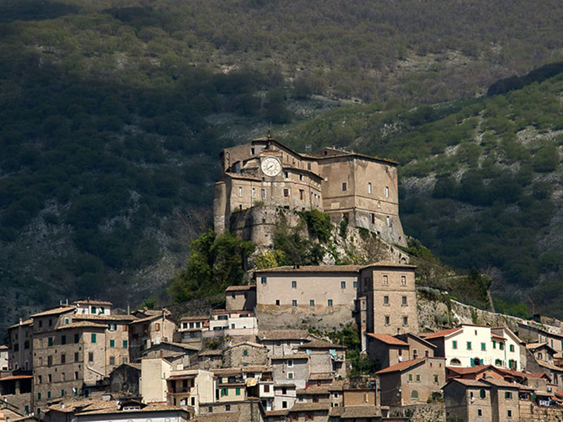
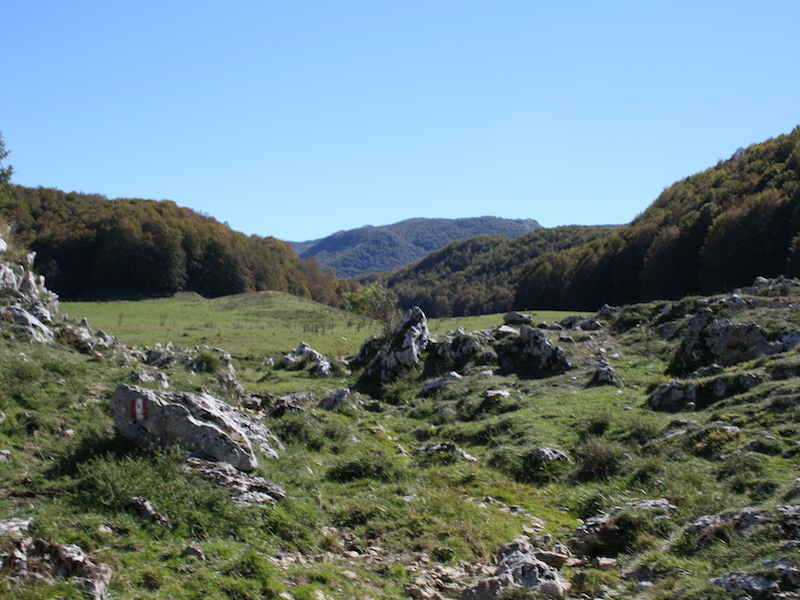
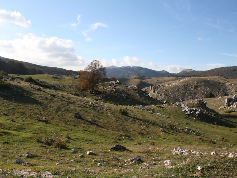
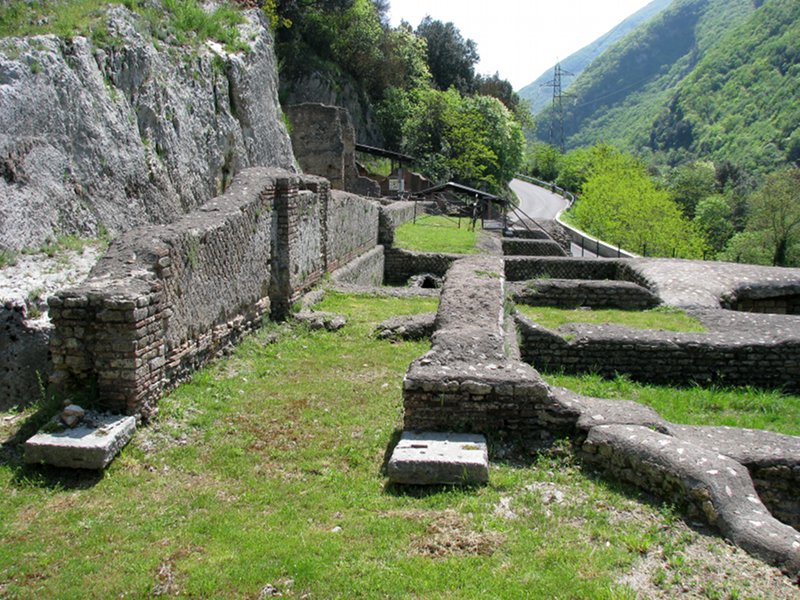
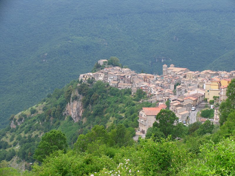
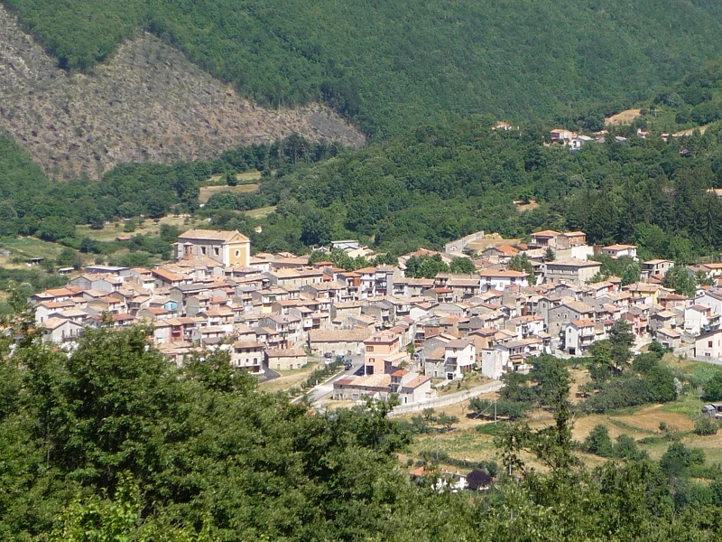
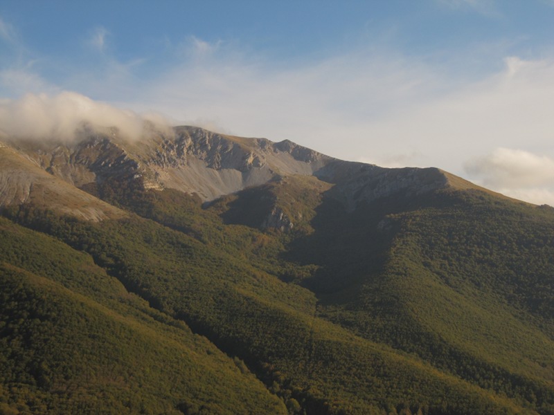
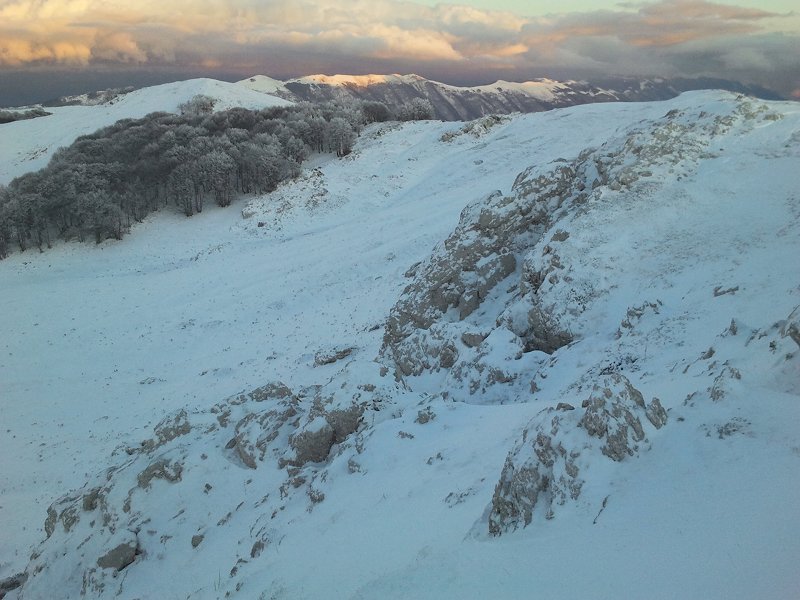
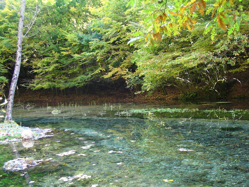
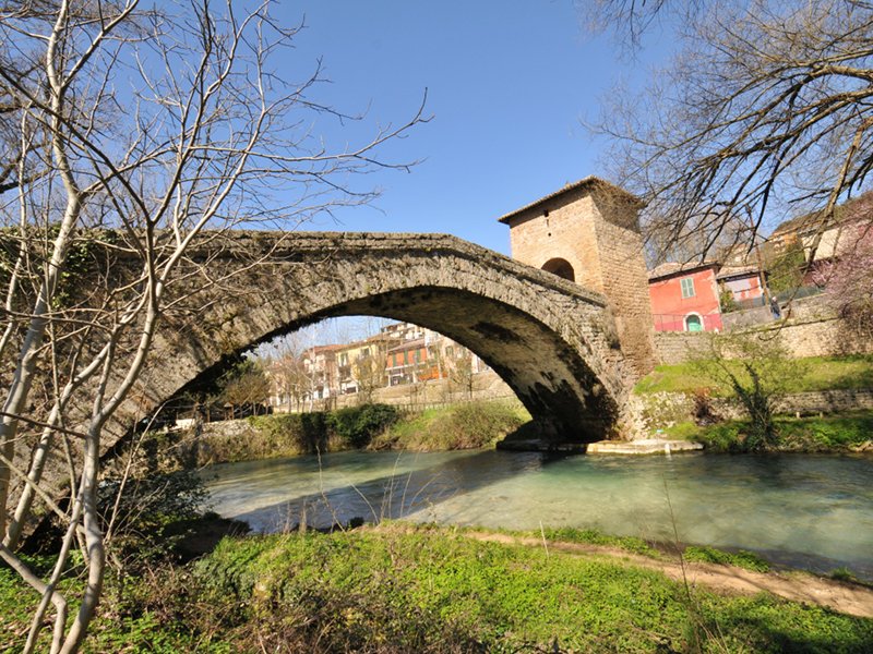
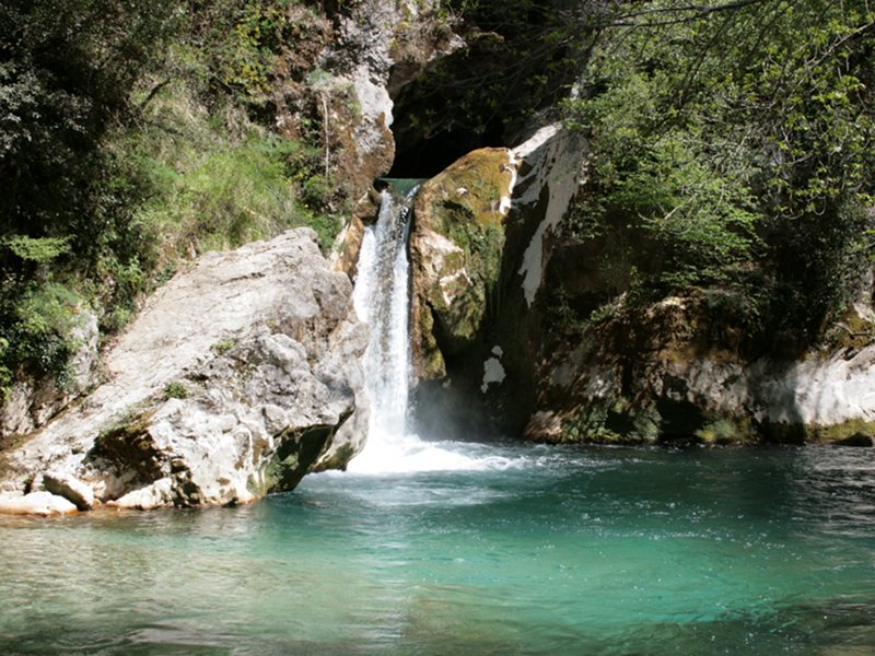
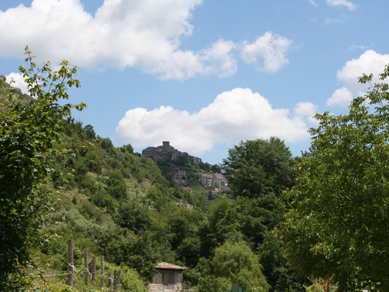
The landscape is typical of the Apennine mountains: tops that reach an altitude of 2000m, wide beech forests, karstic plains, springs (the word Simbruini derives from the Latin "sub imbribus", under the rains), with small villages (the 7 municipalities of the Park) full of history.
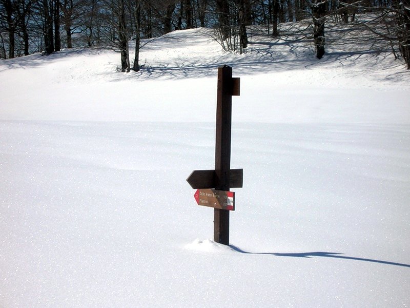
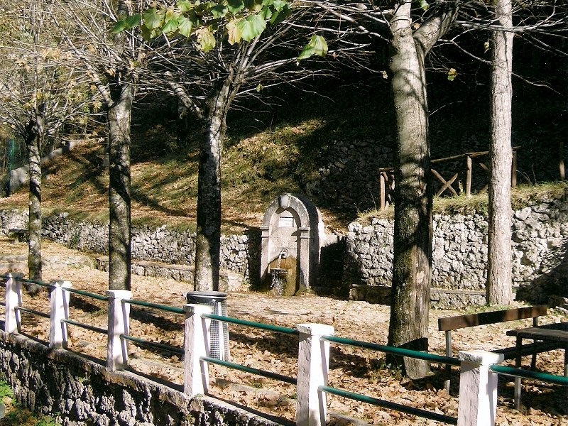
An area to be discovered, rich of culture, nature and traditions and with a wide range of trails: The Walks, short routes on foot, by horse, by MTB and with snowshoes.
Trails on foot
Recommended Trails
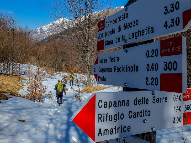
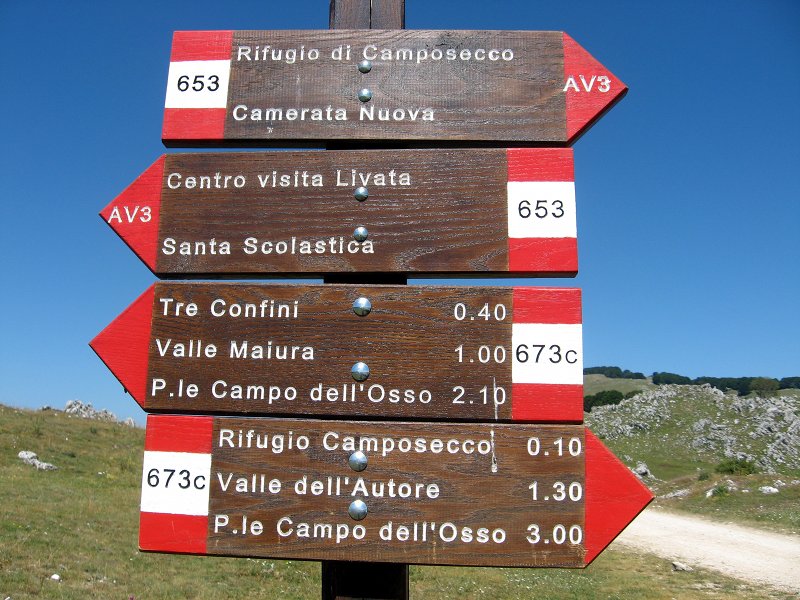
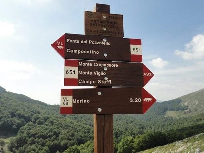
Monti Simbruini Park offers a trail network almost entirely developing within the protected area. Almost all the trails have been registered in the National Land Registry Office by CAI, which is an Association recognized at a national level by law no. 776/85 (ref. art. 2 comma b), aiming in particular at "laying out, preparing, and maintaining trails, mountain works, and mountaineering equipment".
Further information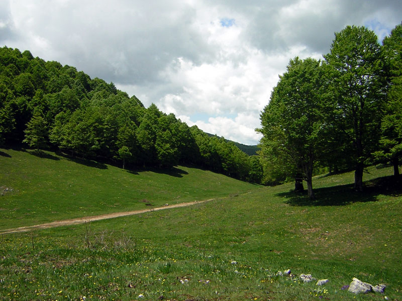
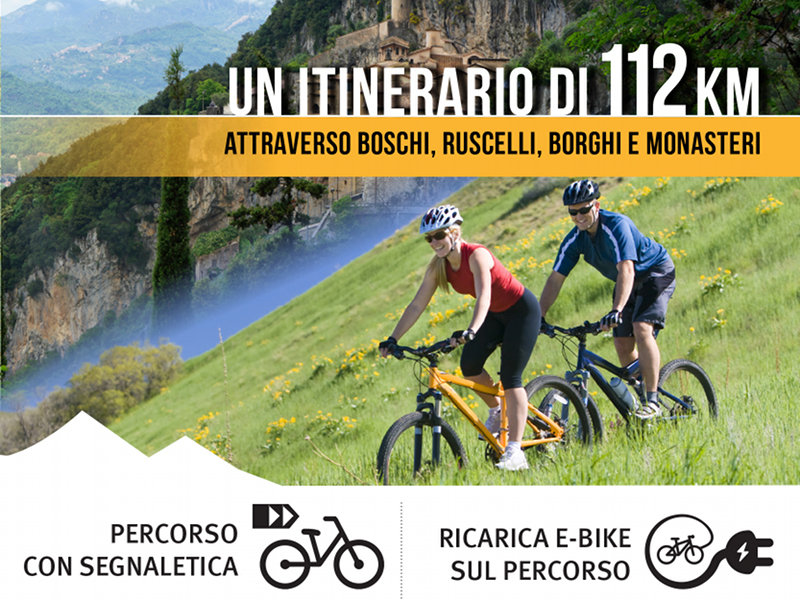
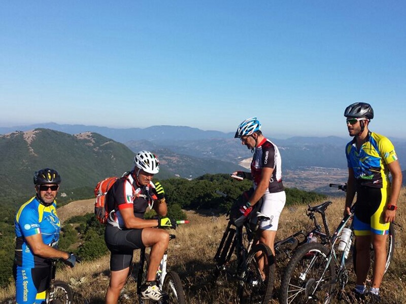
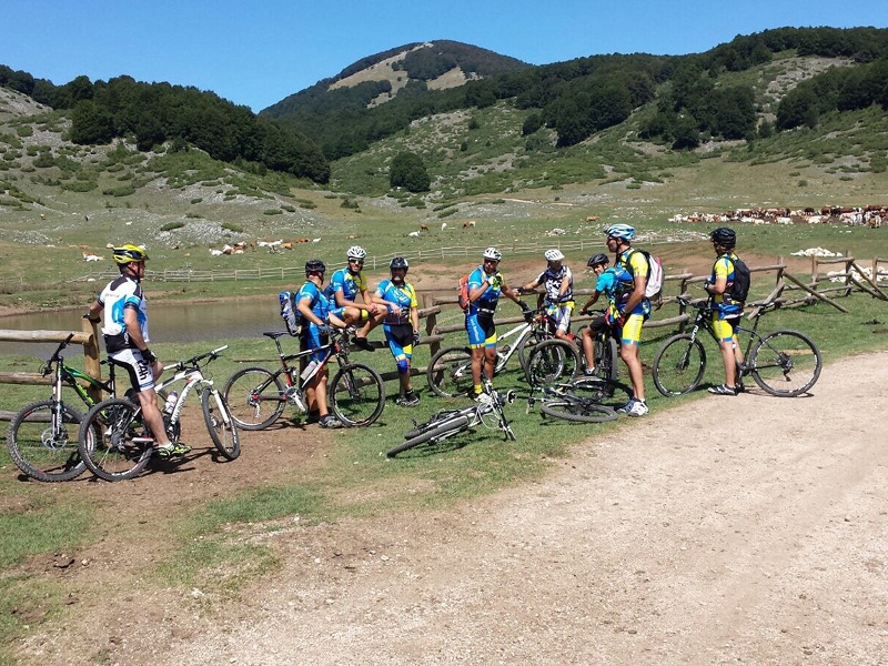
Trails in Mountain Bike
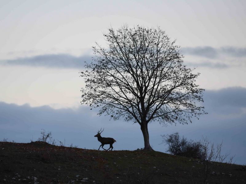
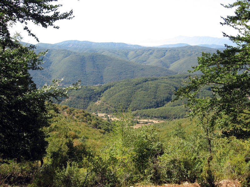
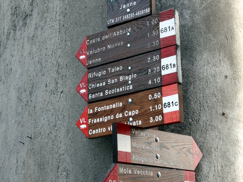
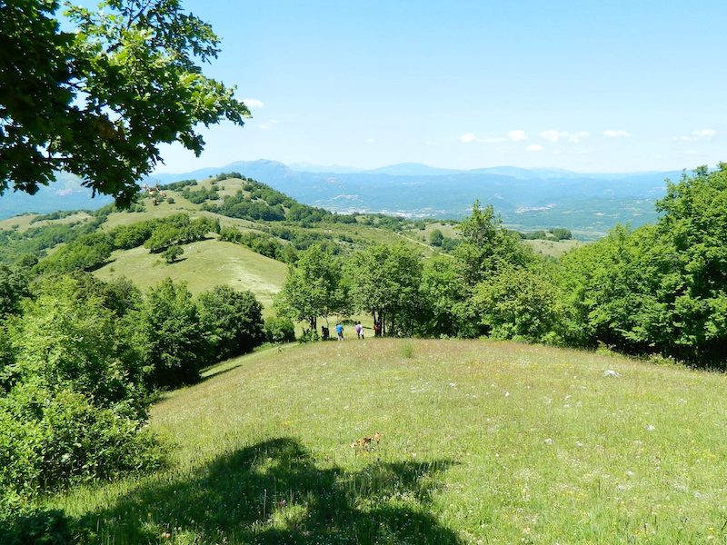
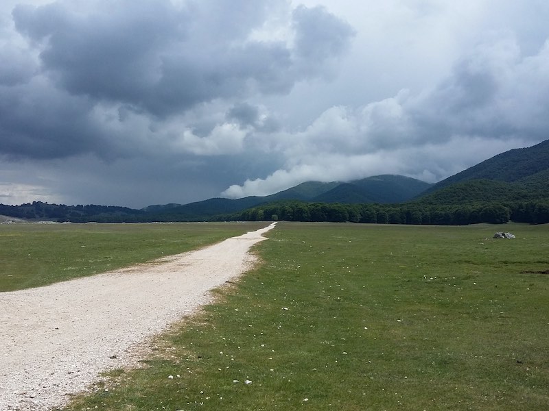
Monti Simbruini Park is crossed by a network of over 40 trails, developing across different natural environments. This network gives the opportunity to discover the wildlife and vegetation features of the territory, including species of great scientific interest. Following the trails means discovering the diversity of the town centers with their religious and cultural traditions.
The trail network is mainly formed by long- and medium distance trails ideal for trekking, mountain biking, horse riding, as well as local trails giving the opportunity to carry out one-day tours and pleasant short walks lasting a few hours. The trails are marked with white-red flags and are recorded with the same number used in the guidebook dedicated to the trails of Simbruini Park with relative map (available soon).
Advice
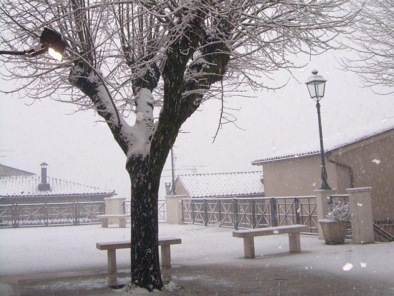
It is recommended to ask for the help of local tour guides. All the information you find here are approximate, therefore we do not shoulder any responsibility. If you decide to use the information on the trails, you should take all the necessary precautions linked to mountaineering and respect the rules fixed by the local competent authorities. In the mountains, the weather can change quickly, therefore it is recommended to be equipped with adequate clothes. If possible, do not leave alone, also leave precise information on the itineraries you will follow, and be sure of having the possibility to contact the rescue service.
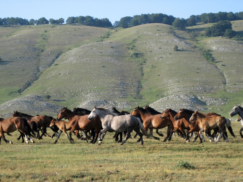
Trails by horse
We are horse-riding in the Regional Nature Park of Simbruini, an important reality in the Central Apennine that covers a wide area between Lazio and Abruzzo. Places where time seems not to pass. Nature is uncontaminated and is full of biodiversity, with many different species.
Further information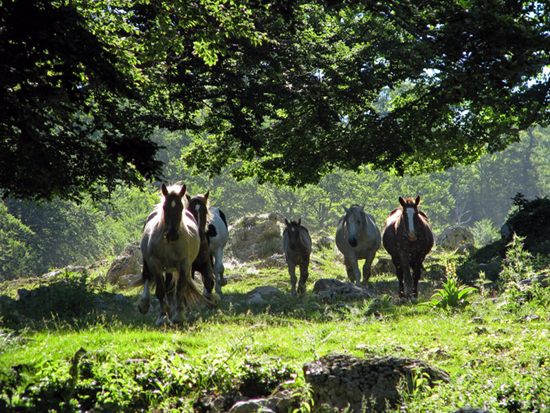
Alta Via
Route in 3 stages
Great Circuit of Faito
The Walk of St. Thomas
Path Coleman
Path Frassati
The Route of Wolves
Further information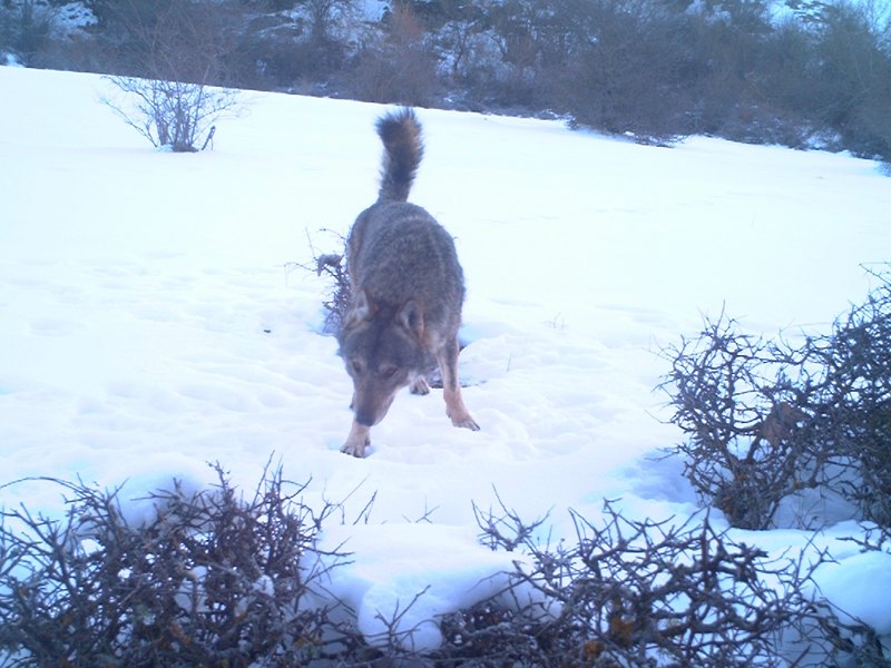
The Walk of St. Benedict
From Norcia to Subiaco and Montecassino on the tracks of the Europe Father
Further information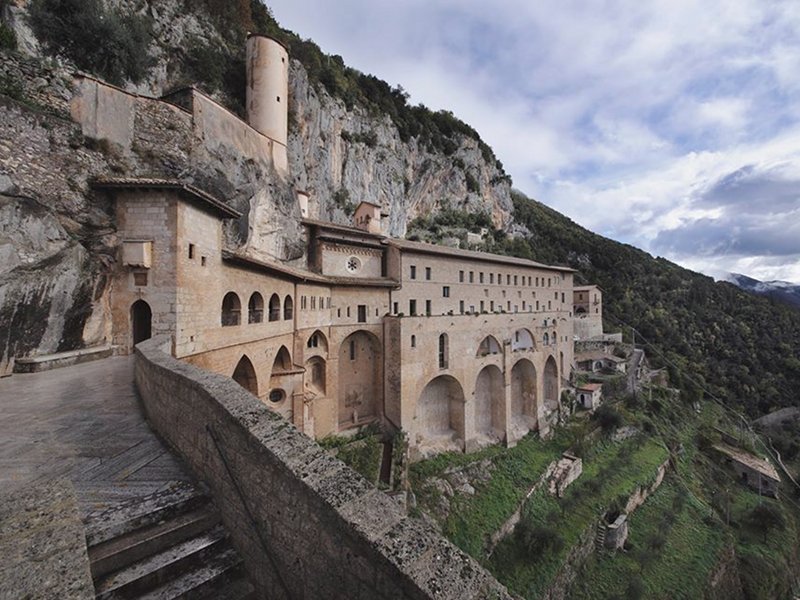
Natural Walk of the Parks
7 Natural protected areas, 430 Km, 4 weeks, 25 stages. A natural walk that binds Rome and L'Aquila
Further information