

Route SC2
Path Coleman: Jenne - Vallepietra
- Trail Conditions: On foot
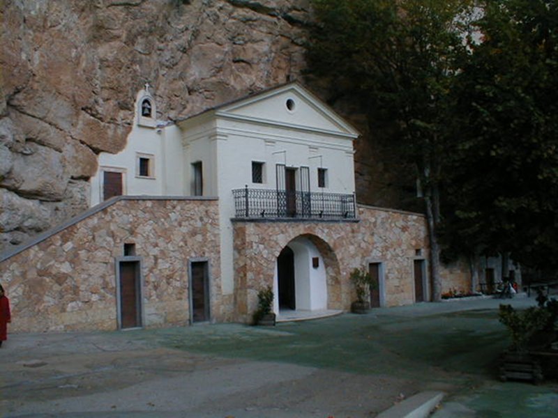
- Interest: Flora, Panorama, Religion
- Departure: Piazza Vittorio Emanuele
- Duration: 3 hour/s 20 minutes
- Difficulty Level: EE - For expert hikers
- Length: 10.90 km
- Difference in height: Uphill 593m - Downhill 646m
- Minimum Altitude: 667m
- Maximum Altitude: 1,061m
From the main square of the village one follows the street towards Vallepietra. After about one km one reaches a five-a-side football pitch; on the left side there is a mule track, and by following it northwards along a mainly flat route, one crosses a ditch. Following the mule track one starts climbing to reach a puddle (Arnaro) and then starts climbing down again. One enters the thin forest, crosses a deep ditch eastwards and then northeastwards, up to a road open to vehicles running along the Simbrivio stream.
Further information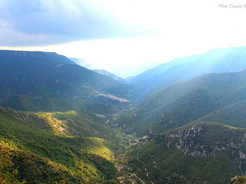
Route SC2: Vallepietra dal Santuario SS. Trinità
 Download KMZ
 Download in GPX format
Points of Interest
Books and Guides

Protected Area(29.990,00 ha)

Lay-out of the itinerary

Departure

Arrival

Park Authority Offices

Visitor Centers (9)

Where to Sleep* (1)

Municipalities (8)

Points of Interest (78)

Photos (153)

Videos (21)

Pic-Nic Area (36)

EV charge ≥100kW (286)

E-Bike charging (9)

Airports (1)

Highway exits (1)
*: only Operators with Accommodation Page


© 2024 - Parco Naturale Regionale Monti Simbruini