


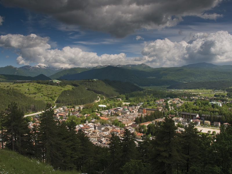
Itineraries
The Park Trails
Deep in the heart of nature, walking in the Park
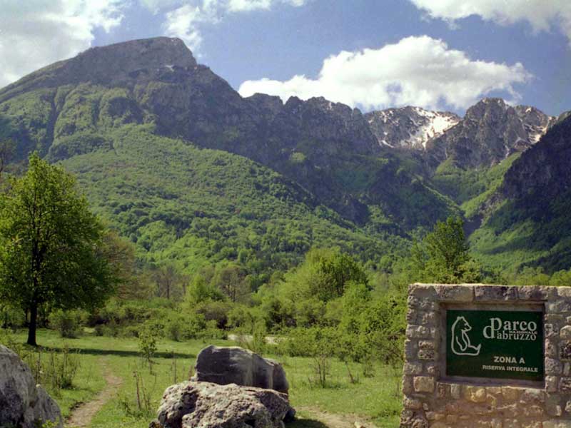
In Abruzzo-Lazio-Molise National Park, a wide network of trails covers the whole territory. If you wish to hike on your own, you can use the Tourist Map, which is available at any Visitor Centre, Park Information Point, and at several retailers in the Park municipalities. You can choose among around 150 hiking trails, adding up to over 750 km. Each trail, identified on the map with a letter and a number, is marked on site with the international trail signage (red-white-red flag).
Camosciara
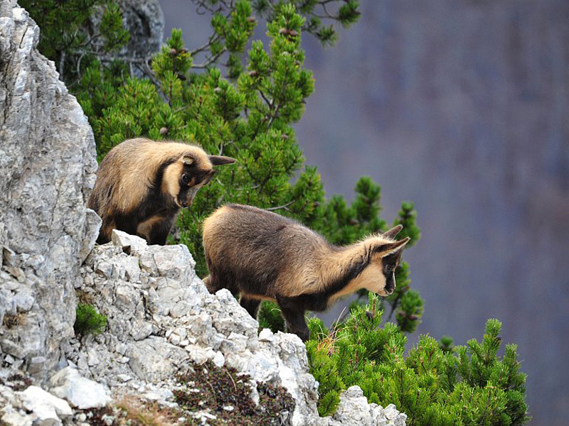
Chamois
Val Fondillo (Opi) - Valico Passaggio dell'Orso
Trail markers - Park Trail F2
Departure: Parcheggio Val Fondillo
Map with georeferenced itinerary
Street View
Typology: On foot
Difficulty Level: T - Tourist (level)
Duration: 6.00 hours (back and forth)
Interest: Flora, Wildlife, History
Barrea - Lago Vivo (1,591mt)
Trail markers - Park Trail - K4
Departure: Località Fonte Sambuco (K6) al Km. 67 della SS.83
Typology: On foot
Difficulty Level: E - Hiking (level)
Duration: 5 hours (back and forth)
Interest: Flora, Wildlife, Panorama
Pianoro delle Forme - Passo dei Monaci (1,967m)
Trail markers - Park Trail - L1
Departure: Località Pianoro delle Forme - Valle Fiorita - (Pizzone)
Typology: On foot
Difficulty Level: EE - For expert hikers
Duration: 5.30 hours (back and forth)
Interest: Flora, Wildlife, History
Val di Rose - Forca Resuni Mountain Hut (1,952m)
Trail markers - Park Trail - I1
Departure: Civitella Alfedena
Typology: On foot
Difficulty Level: E - Hiking (level)
Duration: 3 h
Interest: Flora, Wildlife, Panorama, History, Photography
Sentiero Italia CAI
Map with georeferenced itinerary
Typology: On foot
Map with georeferenced itinerary
Typology: On foot
Interest: Panorama
Map with georeferenced itinerary
Typology: On foot


© 2024 - Ente Parco Nazionale d'Abruzzo, Lazio e Molise