Itineraries
Itineraries
Itineraries on foot, by bike, and on horseback to discover the natural and cultural treasures of the Park
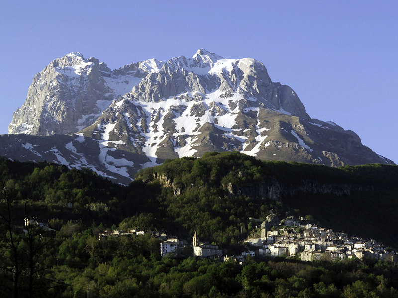
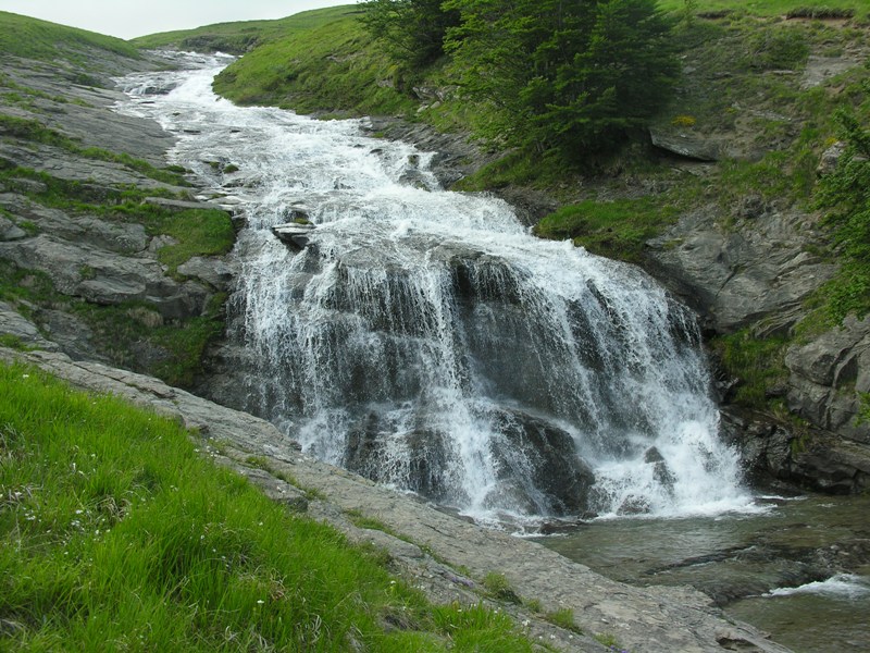
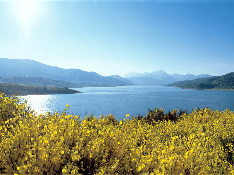
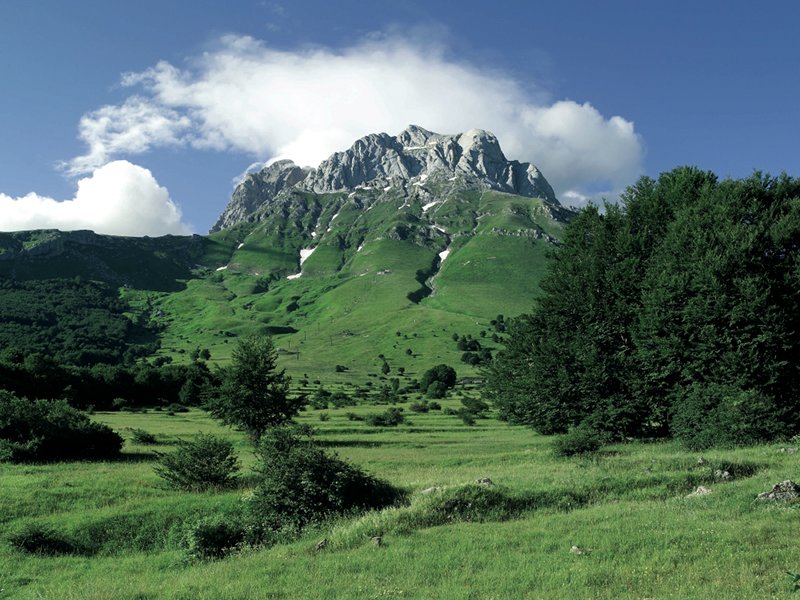
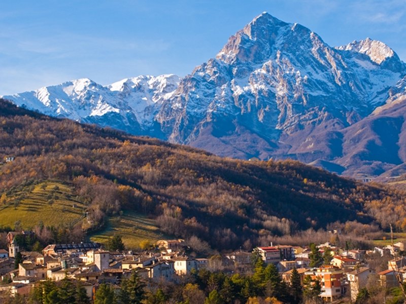
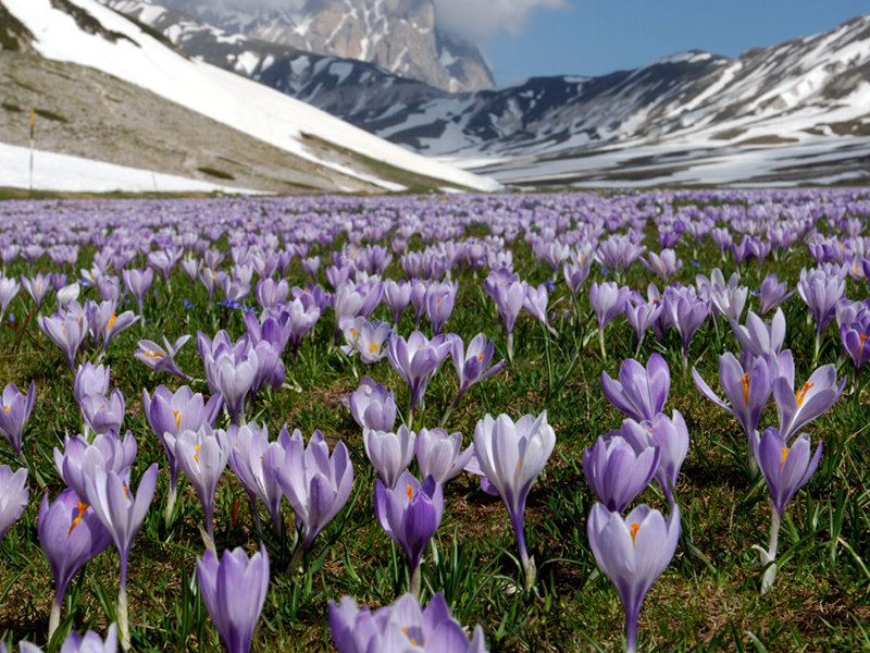
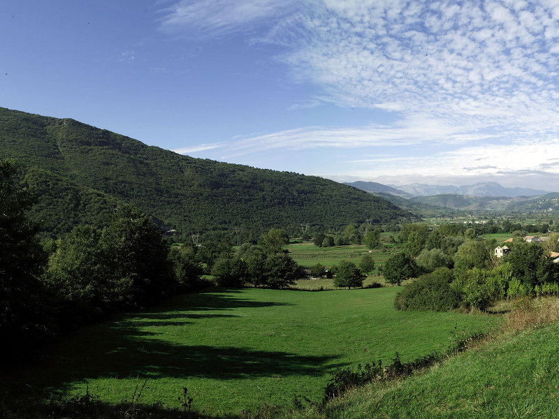
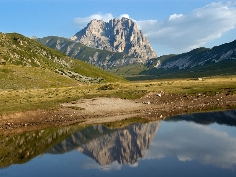
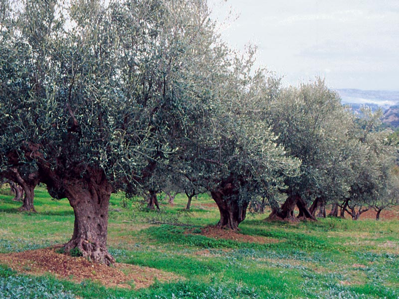
Gran Sasso e Monti della Laga National Park, one of the largest and most precious protected areas in Europe. Here the great treasures of nature have been living together with the amazing cultural heritage for millennia.
Further information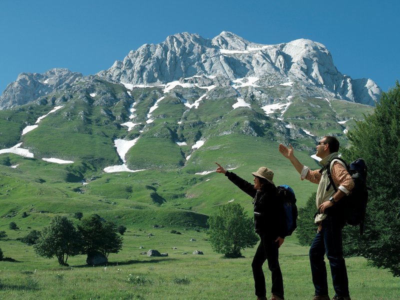
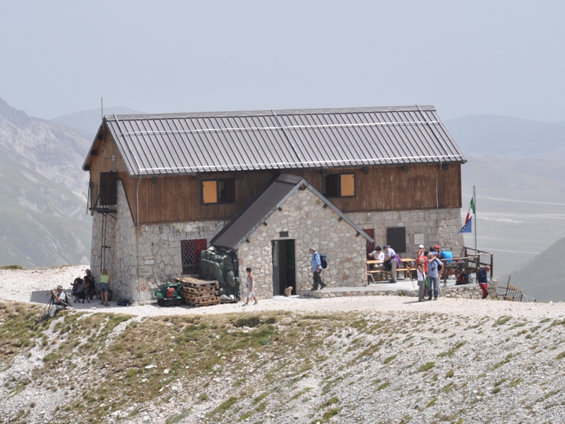
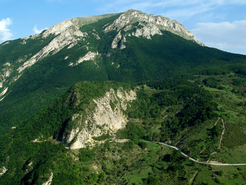
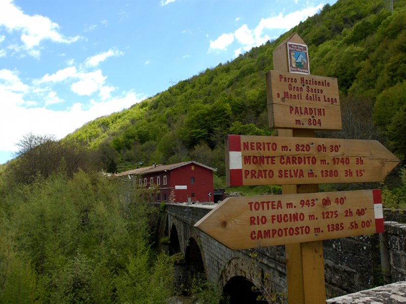
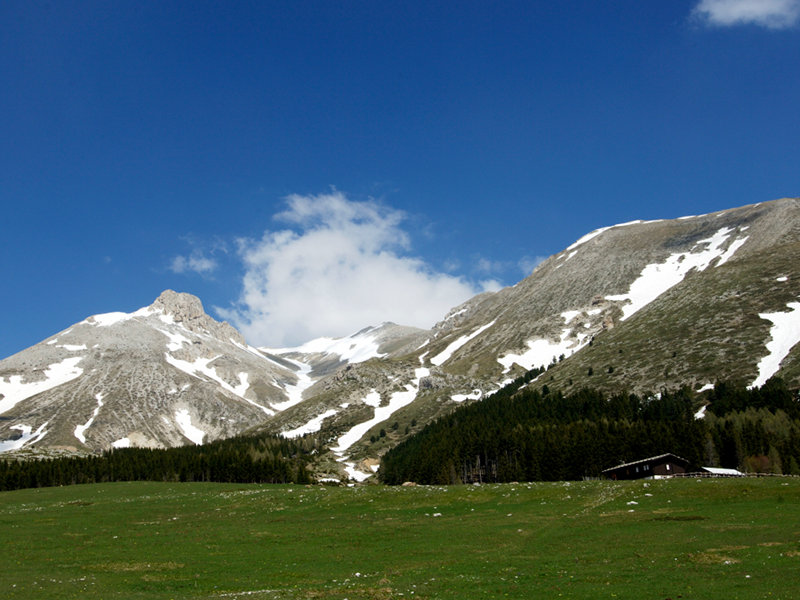
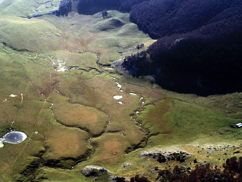
Itineraries on Foot
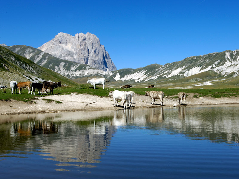
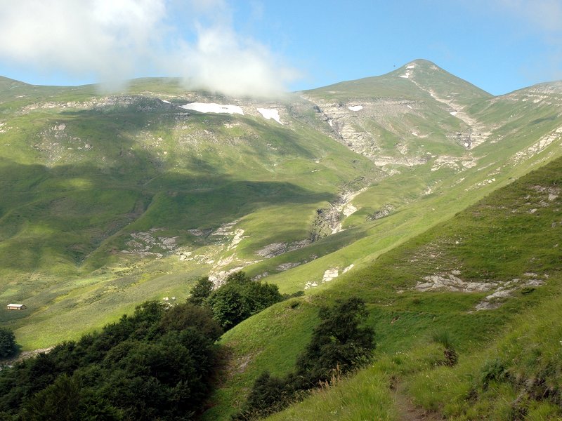
Besides the mountain trails leading towards Corno Grande, Mt. Gorzano, and the hightest summits, that are practicable safely only during the summer, in the Park it is possible to carry out tours of various difficulty levels.
Further information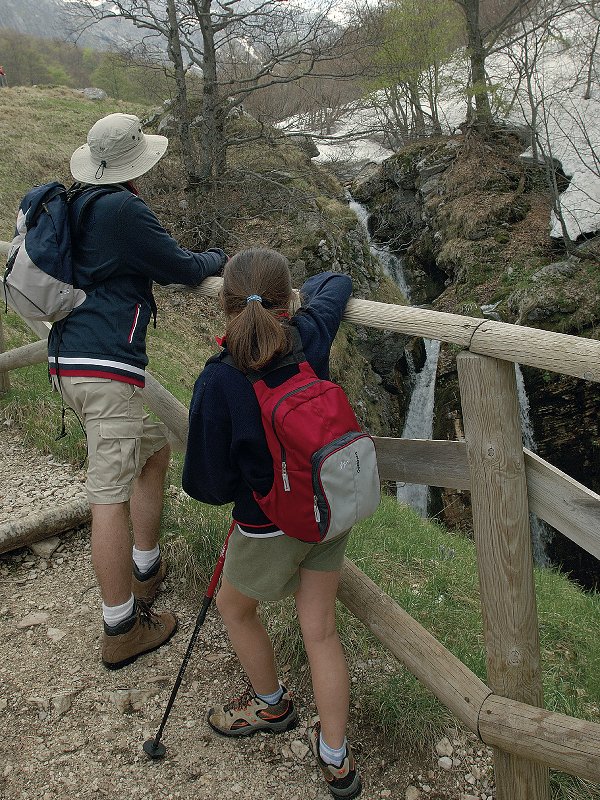
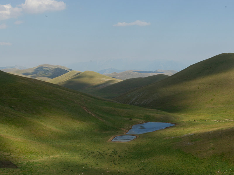
Itineraries on Horseback
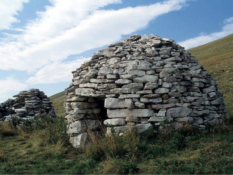
The longest horse riding trail in Italy: 470 km of nature and culture...
A long trail to get to know and appreciate an extraordinary environmental and cultural heritage along old mule tracks, cart tracks and paths through landscapes of unscattered beauty, villages and hamlets, pastures, as well as beech and downy oak woods.
The itineraries (in Italian), most of which already exist, are intended to follow those that, for centuries, have connected hamlets and villages divided by the Gran Sasso massif or that have always been used by farmers to reach high altitude cultivated fields.
Further information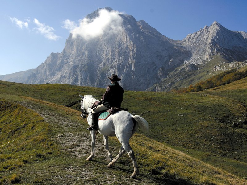
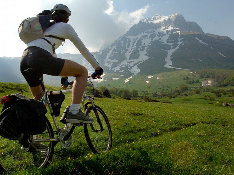
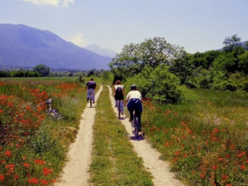
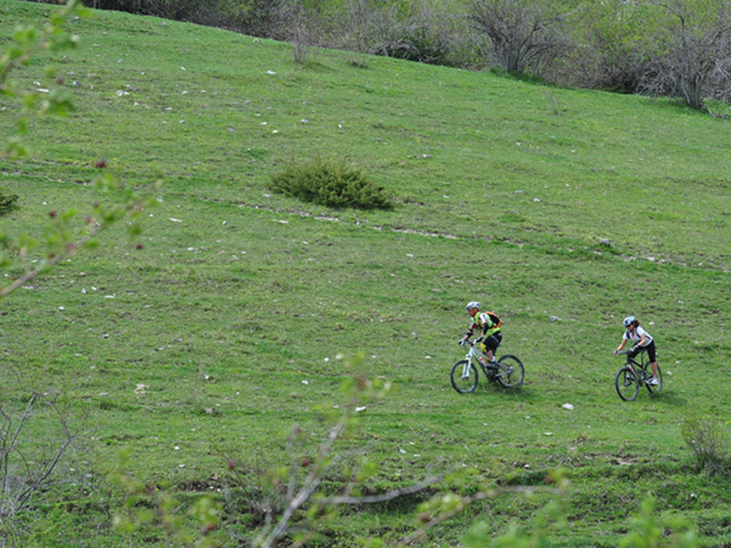
By Mountain Bike along the Gran Sasso Horse Riding Trail
In the protected area you will find the Mountain Bike Rental Service (from June to October).
In 2011, through the management of the Service, the first mountain cycle touring system was born in the protected area along the track of the Horse Riding Trail of Gran Sasso d'Italia.
To start the program, various ring-routes suitable for bikes have been found around the massif of Gran Sasso, crossing territories at various altitudes but all of great charm and beauty.
Between the two Kingdoms District
Region: Abruzzi
Province: Teramo
Municipalities: Campli, Civitella del Tronto, Torricella Sicura, Valle Castellana
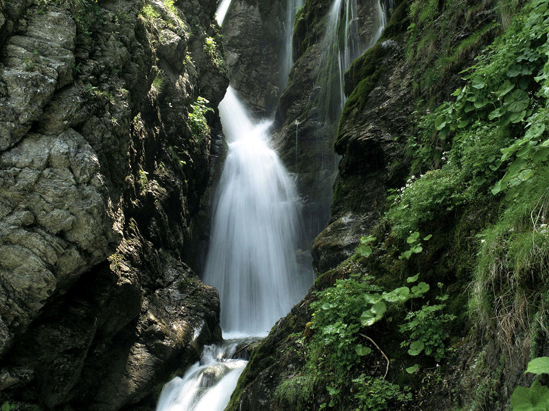
Waterfalls and Woodlands District
Region: Abruzzi
Province: Teramo
Municipalities: Cortino, Rocca S. Maria, Torricella Sicura, Valle Castellana
Major Road District
Region: Abruzzi
Provinces: L'Aquila, Teramo
Municipalities: L'Aquila, Pizzoli, Capitignano, Campotosto, Crognaleto, Fano Adriano, Pietracamela, Montorio al Vomano
Sicilian Valley District
Region: Abruzzi
Provinces: Teramo
Municipalities: Castelli, Arsita, Isola del Gran Sasso, Tossicia

Tirino Valley District
Region: Abruzzi
Provinces: L'Aquila, Pescara
Municipalities: Capestrano, Bussi sul Tirino, Ofena, Villa S. Lucia
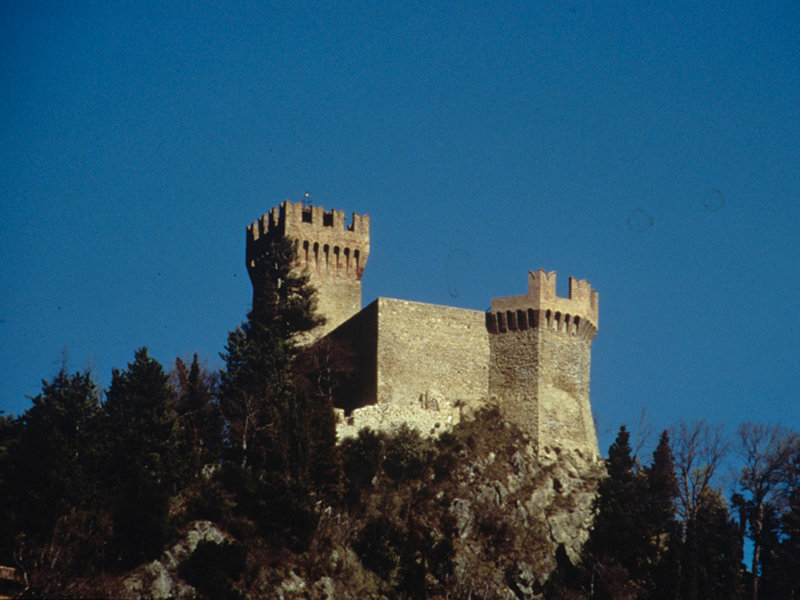
The Barony Lands District
Region: Abruzzi
Province: L'Aquila
Municipalities: Barisciano, Calascio, Carapelle Calvisio, Castelvecchio Calvisio, Castel del Monte, Santo Stefano di Sessanio
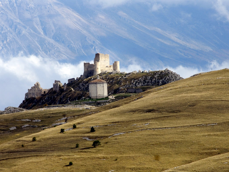
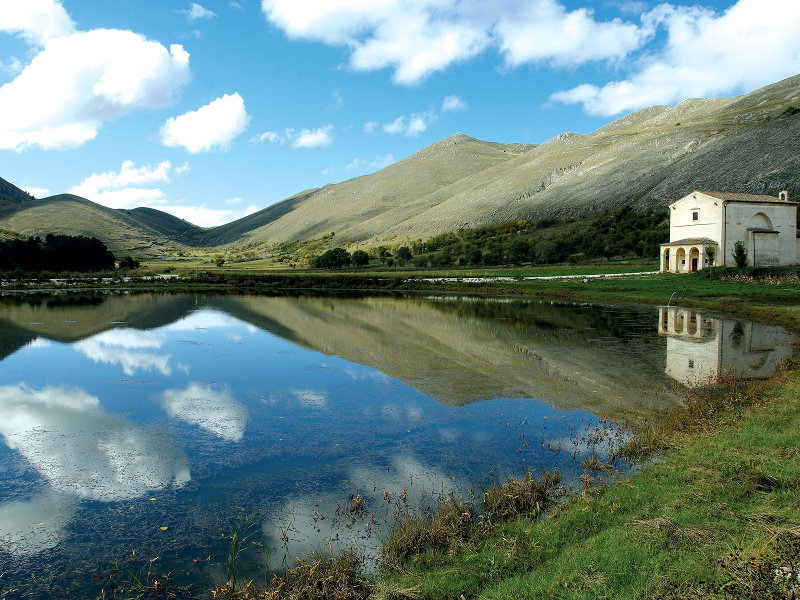
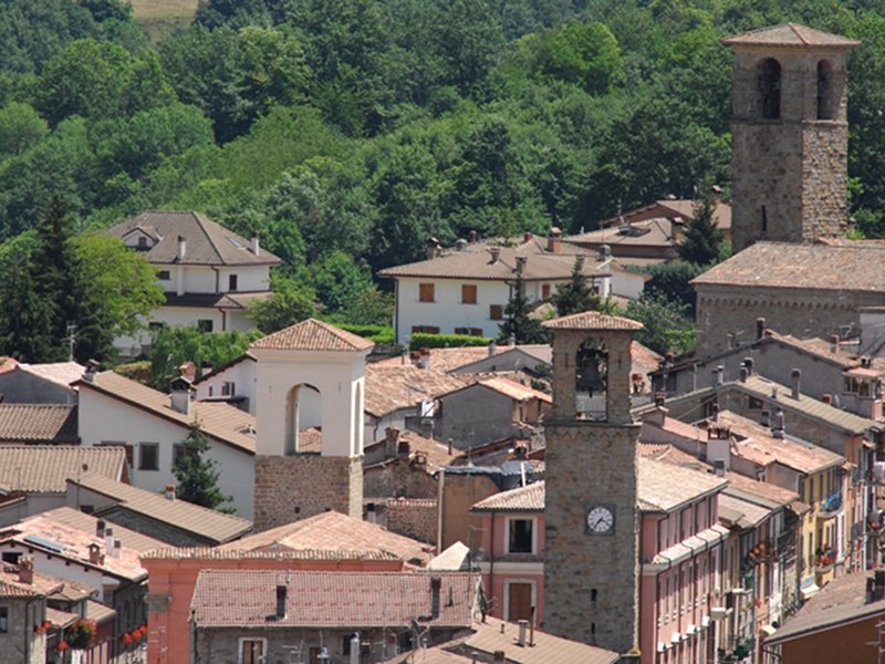
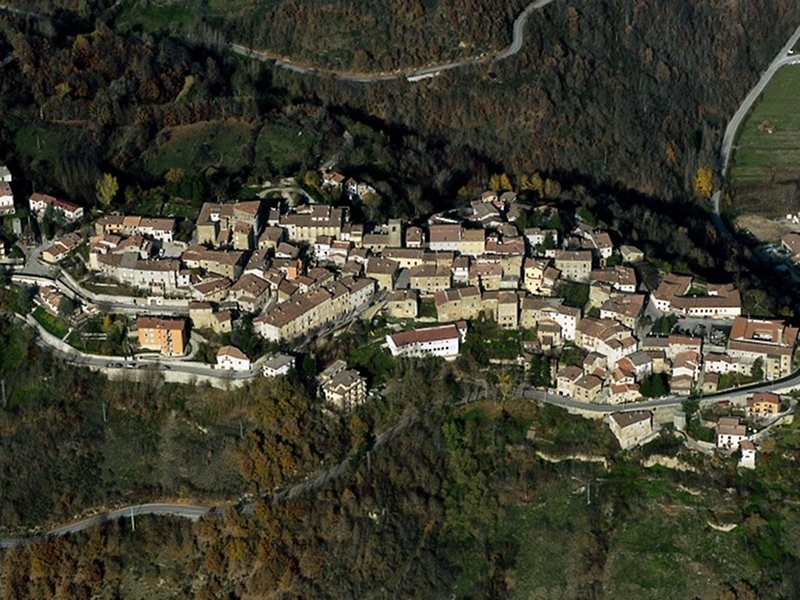
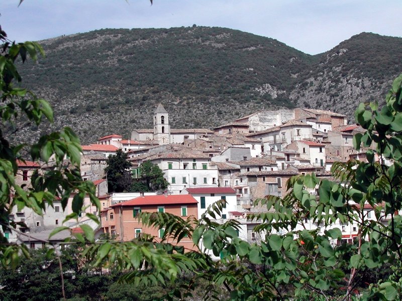
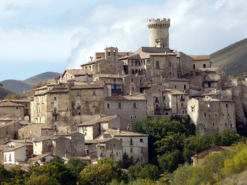
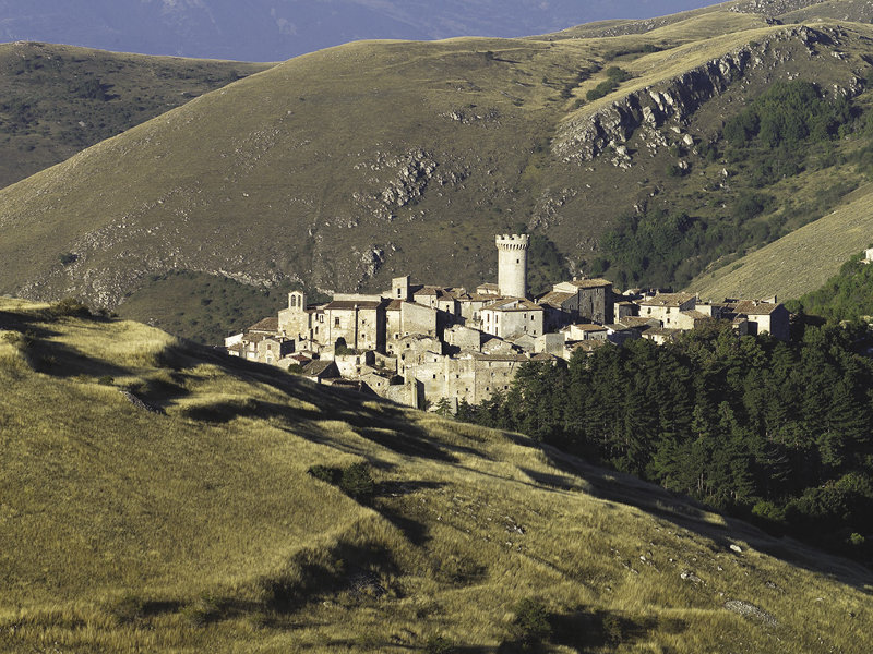
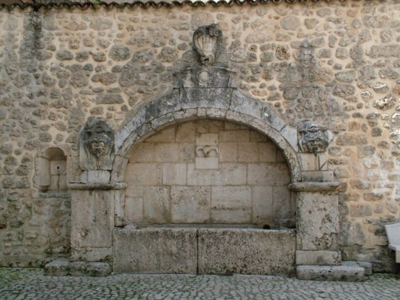
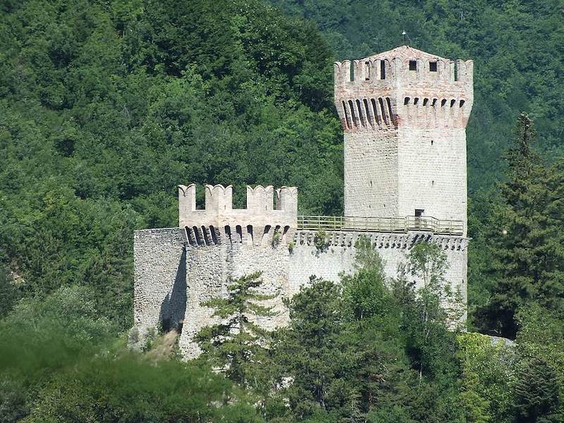
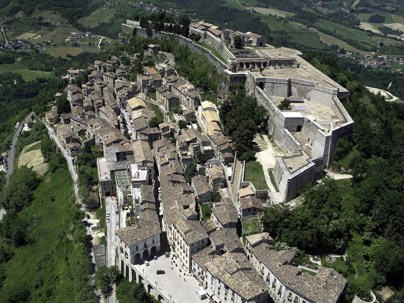
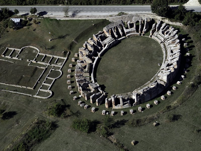
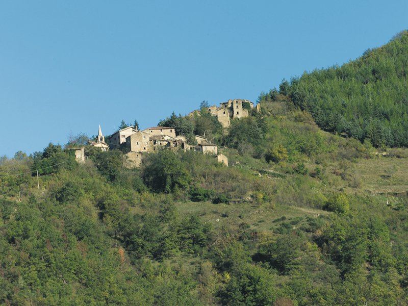
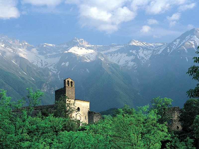
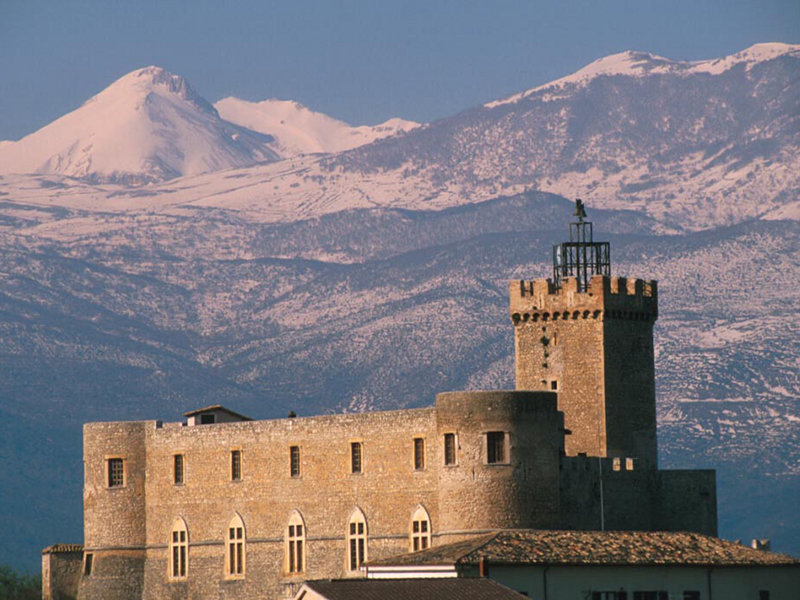
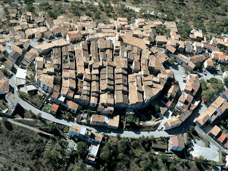
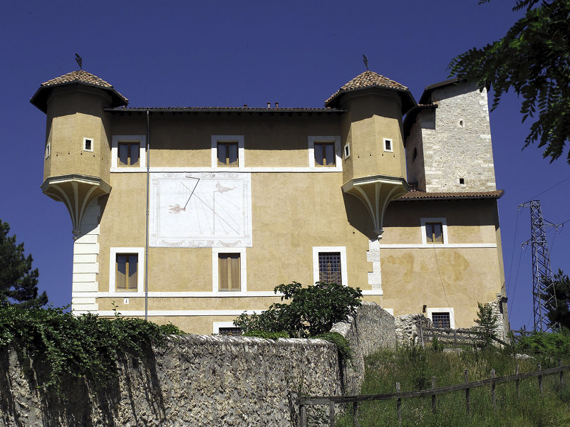
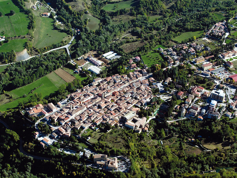
Tourist Itineraries
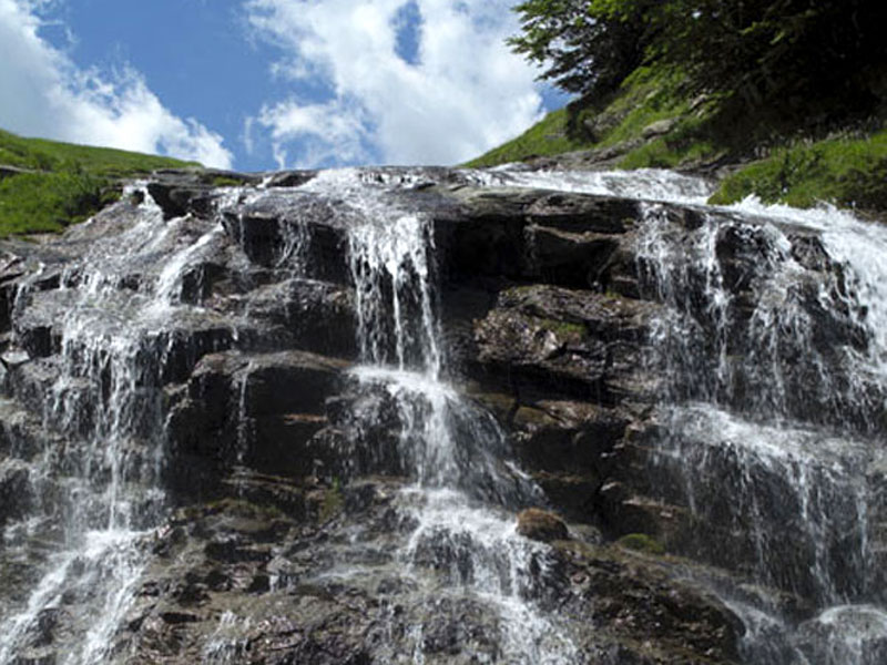
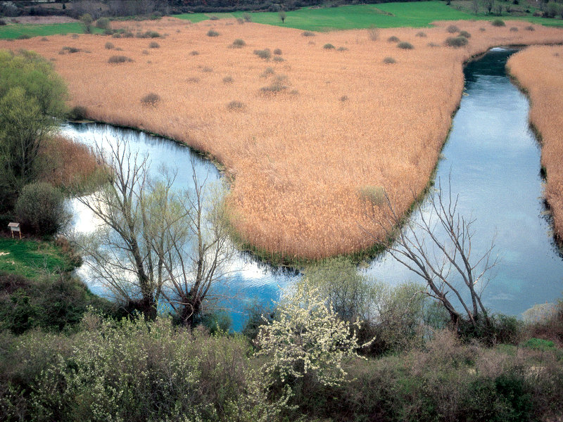
Ancient villages, archaeological sites, castles, sanctuaries, abbeys, country churches, hermitages, and caves form the surprising mountain landscapes of the Park, a nature extraordinarily rich in forests, springs, waterfalls, grasslands, plateaus, dizzying summits and striking rocky walls.
Further informationBetween the two Kingdoms District
Region: Abruzzi
Province: Teramo
Municipalities: Campli, Civitella del Tronto, Torricella Sicura, Valle Castellana
Waterfalls and Woodlands District
Region: Abruzzi
Province: Teramo
Municipalities: Cortino, Rocca S. Maria, Torricella Sicura, Valle Castellana
Major Road District
Region: Abruzzi
Provinces: L'Aquila, Teramo
Municipalities: L'Aquila, Pizzoli, Capitignano, Campotosto, Crognaleto, Fano Adriano, Pietracamela, Montorio al Vomano
Sicilian Valley District
Region: Abruzzi
Provinces: Teramo
Municipalities: Castelli, Arsita, Isola del Gran Sasso, Tossicia
Great Abbeys District
Region: Abruzzi
Province: Pescara
Municipalities: Brittoli, Carpineto della Nora, Castiglione a Casauria, Civitella Casanova, Corvara, Farindola, Montebello di Bertona, Pescosansonesco, Villa Celiera
Tirino Valley District
Region: Abruzzi
Provinces: L'Aquila, Pescara
Municipalities: Capestrano, Bussi sul Tirino, Ofena, Villa S. Lucia
The Barony Lands District
Region: Abruzzi
Province: L'Aquila
Municipalities: Barisciano, Calascio, Carapelle Calvisio, Castelvecchio Calvisio, Castel del Monte, Santo Stefano di Sessanio
Upper Aterno Valley District
Region: Abruzzi
Province: L'Aquila
Municipalities: Barete, Cagnano Amiterno, Capitignano, Montereale, Pizzoli
The Springs of Tronto District
Region: Lazio
Province: Rieti
Municipalities: Accumoli, Amatrice
The Way of the Salt District
Region: the Marches
Province: Ascoli Piceno
Municipalities: Arquata del Tronto, Acquasanta Terme
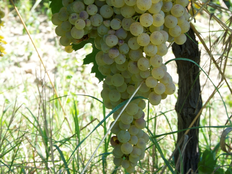
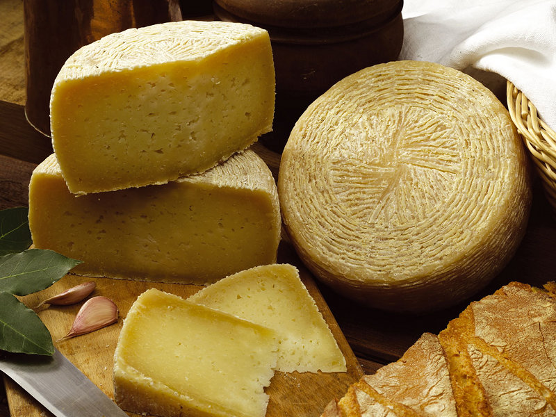
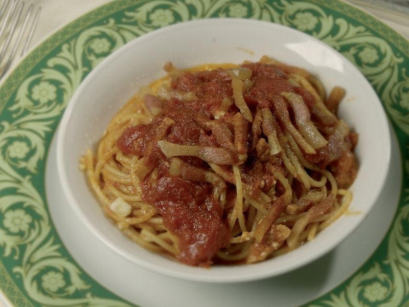
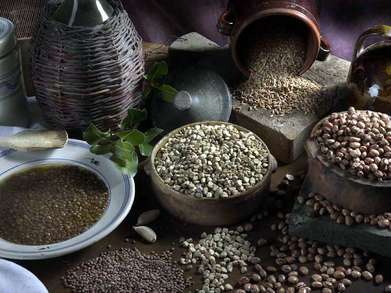
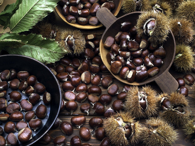
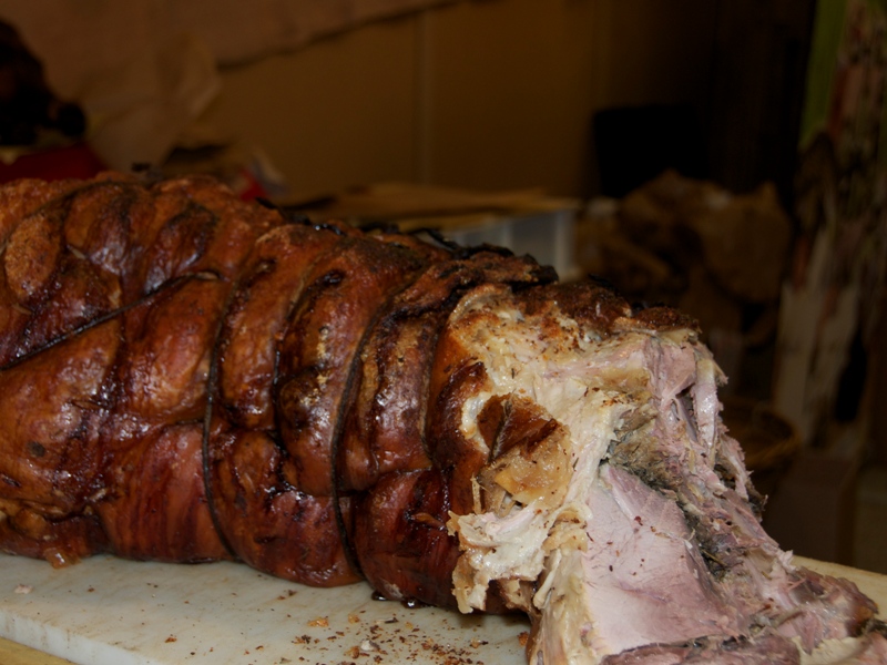
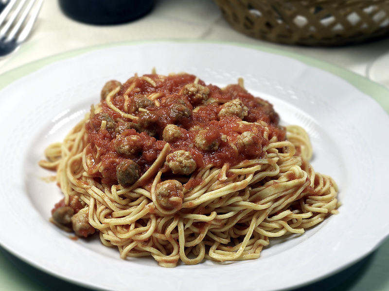
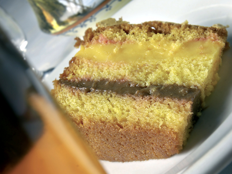
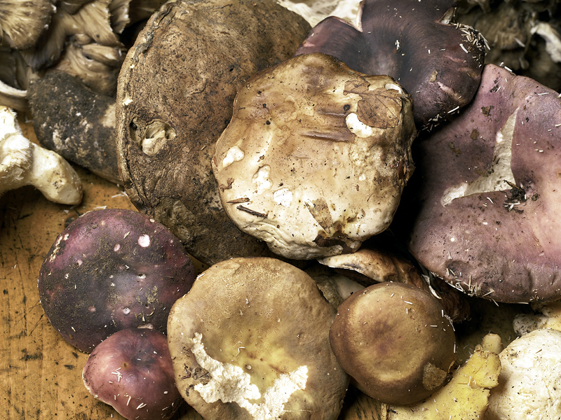
Wine-and-food itineraries
Expo and territories
Ten itineraries to discover the excellent agricultural and food products
For those who are so lucky to work in and for this territory, the proposed itineraries are by now a daily routine. The many projects realized by the Park in the last years have often led us to knock on the door of many producers, farmers and processors who offered their knowledge and their experience to follow a common way with a strategical objective: maintain the human presence, strengthen the idea of environmental sustainability and support the coexistence of the anthropic activities with the natural and environmental richness.
Realizing the wine-and-food itineraries in this Park, as it is easy to understand, was therefore not simple. The peculiarity of the orography and the difficulties of the moutain in this part of the Apennines are added to the extraordinary richness of the territory which, in any landscape, implies the exact transposition of food and gastronomy.
We therefore suggest only travel notes, a map to be adapted and integrated "along the way" in order to rewrite it several times, as many as you want.
Have a nice journey…
Remember! The respect of environments comes first, always and everywhere! Especially if it is about a protected area safeguarded by special laws that guarantee the entirety of the natural beauties along your journey. Before leaving find out on our website all the information about the behaviors to observe in the Park area.
![]() Mangia Parco Notebook: The Park, the recipes, the products
Mangia Parco Notebook: The Park, the recipes, the products
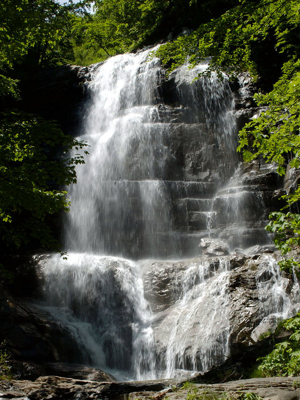
Sentiero Italia CAI
The Sentiero Italia, one of the longest hiking trails in the world, with over 7000 kilometres, crosses the Park in 14 stops.
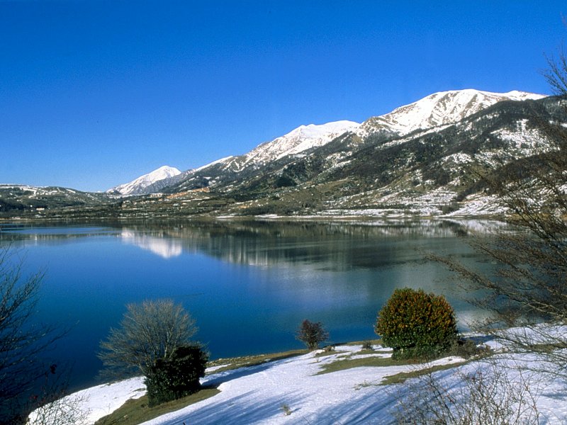
You will pass from ancient hamlets, full of treasures, to the most characteristic natural landscapes of the Protected Area, in an evocative journey through woods, peaks, lakes and limpid rivers.