


Points of Interest
The Points of interest of the Park
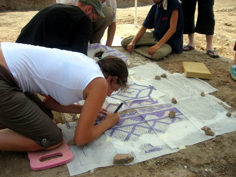
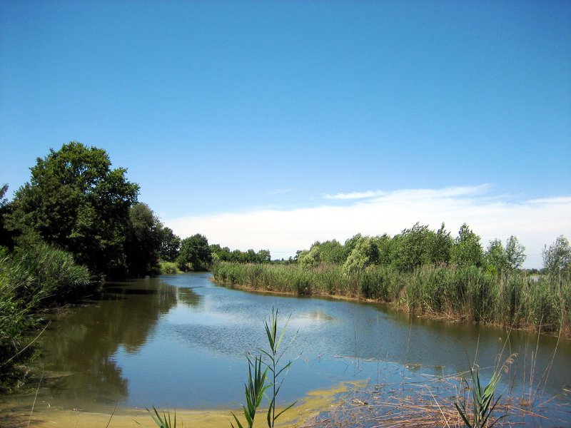
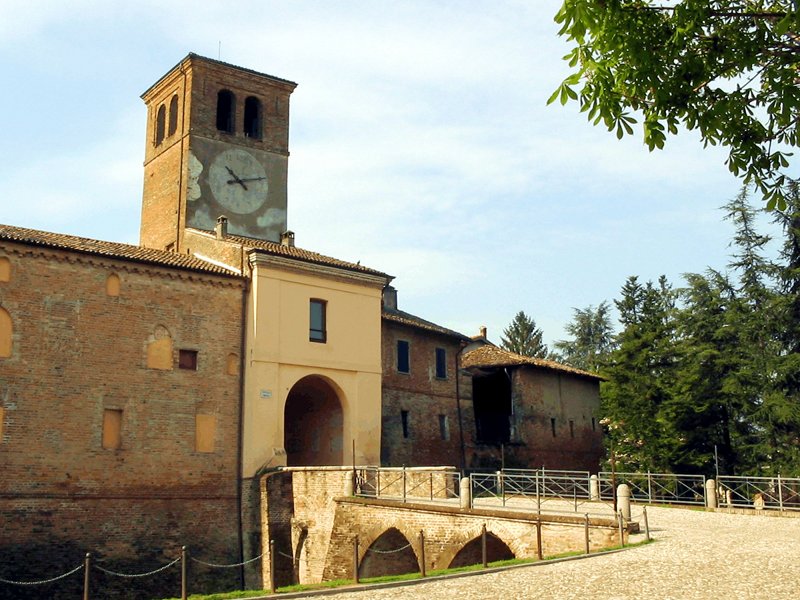
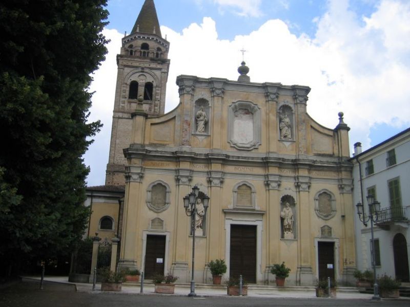
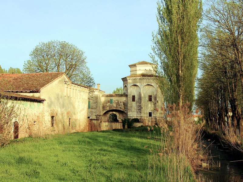
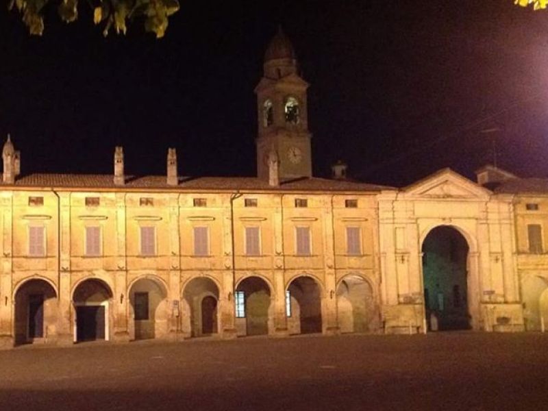
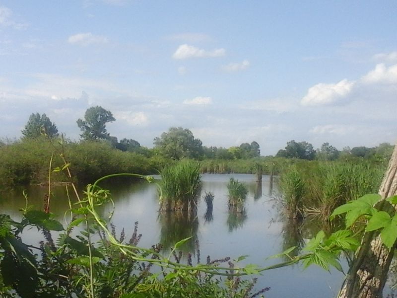
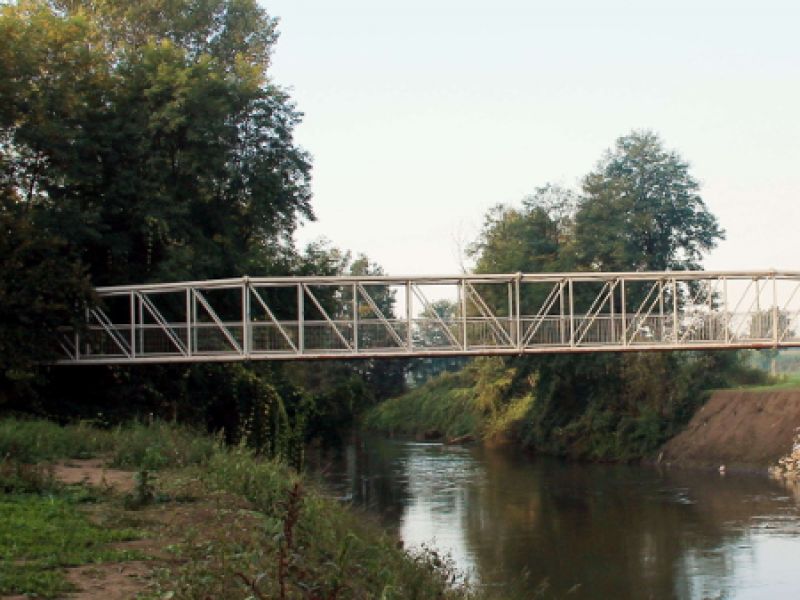
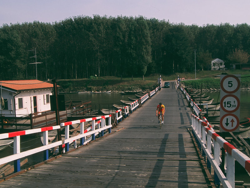
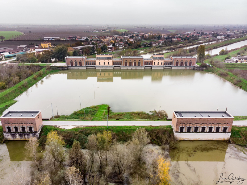
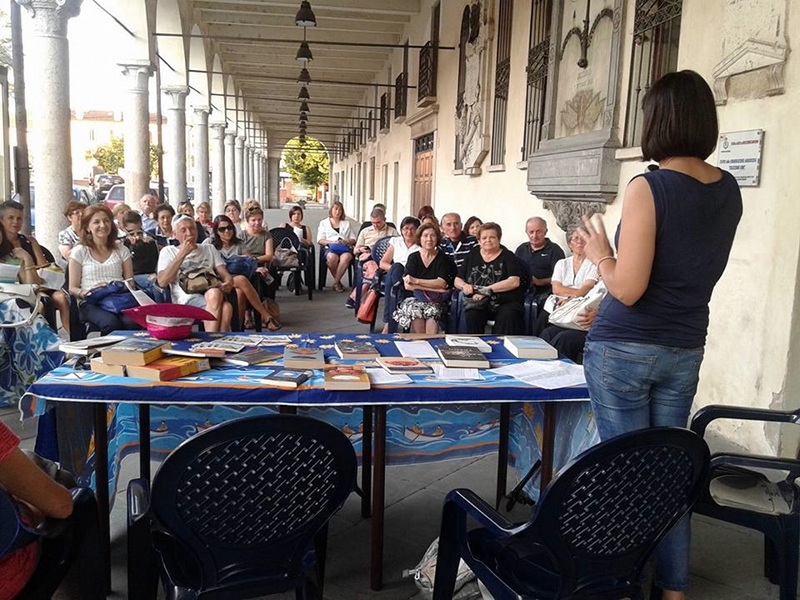
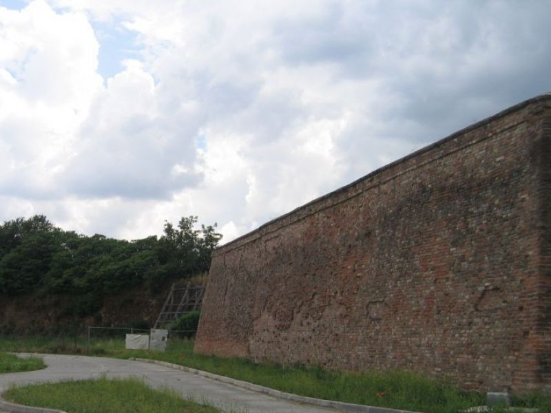
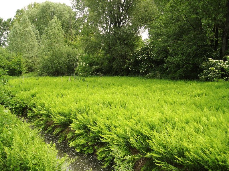
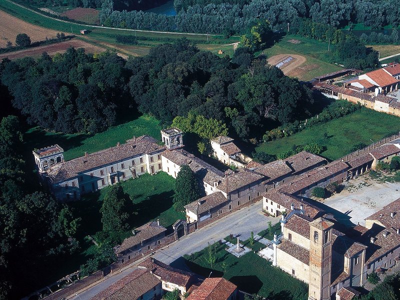
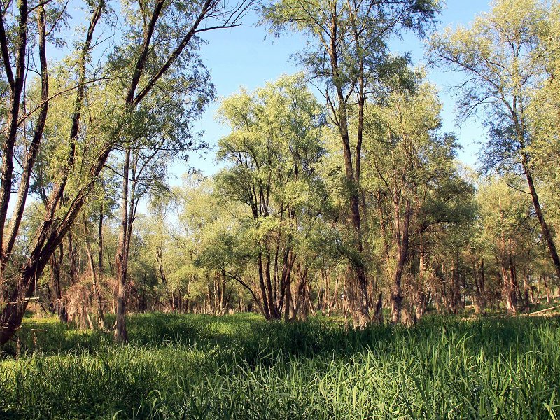
The Park could offer in every season landscapes and hidden corners that suprise for their semplicity. Squares and porticos witness to the Gonzaga's past, rivers, reserves and oases, valuable archaeological remains, museums. Visiting our municipalities and our territory reveals an area different from what you could imagine.
Municipality: Calvatone (CR)
Location: Commessaggio, Viadana (MN)
Municipality: Ostiano (CR)
Municipality: Acquanegra sul Chiese (MN)
Municipality: Marcaria (MN)
Municipality: Volongo (CR)
Municipality: Isola Dovarese (CR)
Location: Acquanegra sul Chiese (MN) e Calvatone (CR)
Municipality: Marcaria (MN)
Municipality: Canneto Sull'Oglio (MN)
Location: San Martino dall'Argine e Gazzuolo (MN)
Municipality: Marcaria (MN)
Municipality: Ostiano (CR)
Location: Marcaria e Viadana (MN)
Municipality: Viadana (MN)

Municipality: San Martino Dall'Argine (MN)
Municipality: Gazzuolo (MN)
Municipality: Bozzolo (MN)
Municipality: Acquanegra sul Chiese (MN)
Municipality: Pessina Cremonese (CR)
Location: Marcaria, Viadana e Suzzara (MN)


© 2024 - Ente Parco Regionale Oglio Sud