


Itineraries
Nature Itineraries in Oglio Sud Park
In the Park it is possible to choose among several itineraries. Usually, they are not provided with trail markers and develop in the countryside, on secondary roads and exploiting dirt or asphalt roads running along the river banks. These itineraries are described in the "Tourist Map" you can find in the Park Offices.
Moreover, a few pedestrian trails have been equipped in the Nature Reserves and a few cycle-pedestrian trails have been equipped in areas of particular naturalistic or historical-cultural interest. They have their own trail markers, as well as panels helping in the landscape interpretation. Further trails will be equipped in the future.
![]() Download the Tourist Map (8,6Mb)
Download the Tourist Map (8,6Mb)
"Le Margonare"
Cycle-pedestrian Itinerary across Belforte Peat Bogs between the Municipalities of San Martino dall'Argine and Gazzuolo (MN)
Map with georeferenced itinerary
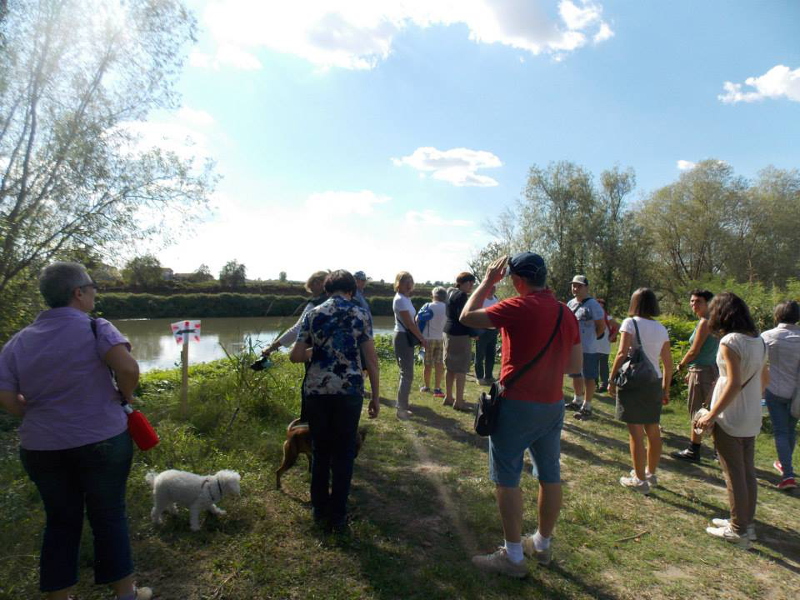
Typology: On foot
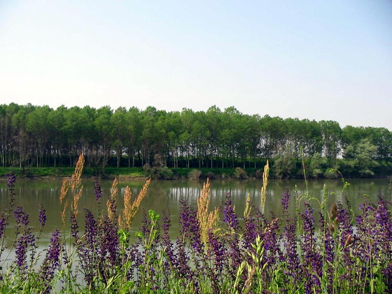
Interest: Flora, Wildlife, History
Map with georeferenced itinerary
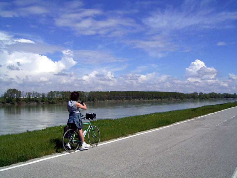
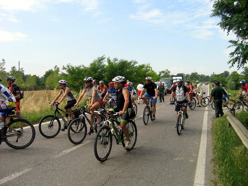
Typology: On foot, By bike
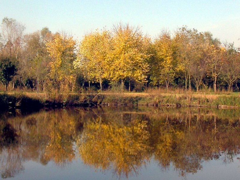
Interest: Panorama, History
Canale Bogina
Cycle-pedestrian Itinerary in the Municipality of Commessaggio
Departure: Torrazzo Gonzaghesco
Map with georeferenced itinerary
Typology: By bike
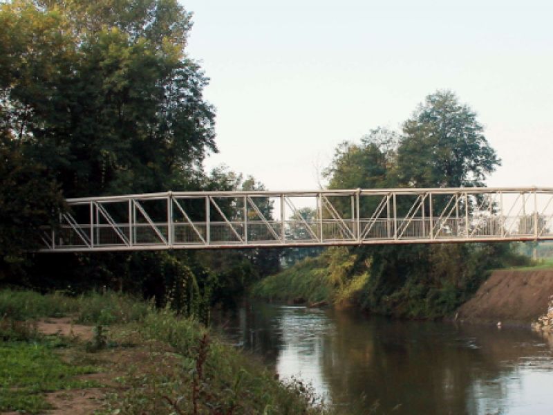
Interest: Panorama, History, Photography
Runate and Gerra Gavazzi Pedestrian Itinerary
Departure: Ponte Oglio
Map with georeferenced itinerary
Typology: On foot
Interest: Flora, Wildlife
Map with georeferenced itinerary
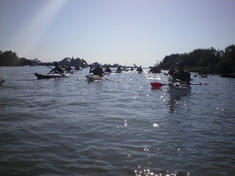
Typology: Canoe
Duration: 4 h
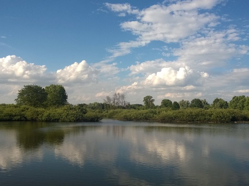
Interest: Panorama
Map with georeferenced itinerary
Typology: Canoe
Duration: 3 h
Interest: Panorama


© 2024 - Ente Parco Regionale Oglio Sud