Itineraries
Itineraries in the Park
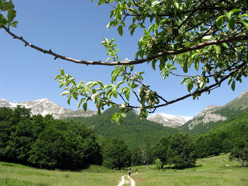
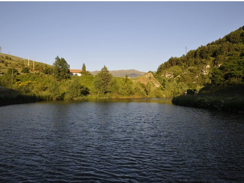
The territory of the Sirente Velino Park has an extensive network of itineraries: naturalistic, religious and cultural, which offer the opportunity to discover the area in a peaceful and pleasant journey.
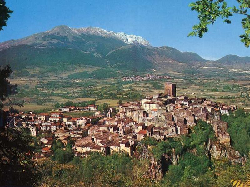
They offer us the opportunity to visit all the points of greatest interest: from the rural churches that invite us to peace and serenity, to the charm of the Aterno river of great naturalistic importance, to the superb sighting towers, to the plains where it is possible to retrace the century-old history of man, to the enchanting mountain landscapes, rich in beech woods.
We wish everyone a pleasant stay in respect of nature and culture in the Sirente Velino Park.
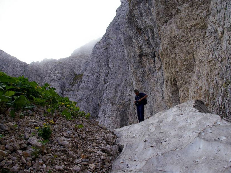
Nature trails
Since not every itinerary is provided with trail markers yet, it is advisable to go through them accompanied by the tour guides working for the Park, above all for those who don't know the territory very well. In any case, it is necessary to be equipped with adequate topographical maps (Cartografia del Parco, I.G.M. Istituto Geografico Militare - C.A.I:, etc.).
Rules of Behaviour
- Respect the nature surrounding you.
- Do not abandon the trail.
- Always stay with your group and follow the advice of your tour guide.
- Avoid smoking, in order not to cause fires.
- Keep your voice low, and do not make noises: listen to the sound of nature.
- Always leave the mountains as you would like to find them.
- Bring with you adequate topographical maps (Cartografia del Parco, I.G.M. Istituto Geografico Militare - C.A.I. - etc.)
Cultural itineraries
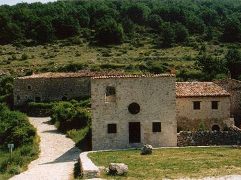
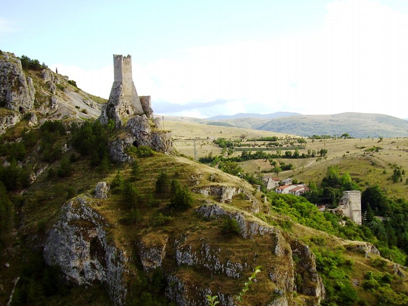
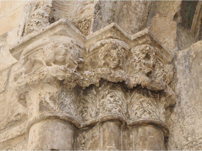
The historical, cultural and artistic heritage of the Sirente Velino Park is a significant testimony of past life, connected to the physical conformation of the territory which has always been subjected to a geographical isolation. Scattered within the protected area you can find sites of the Italic and Roman civilization, castles, Benedictine and Franciscan convents to which are added singular places related to the "vertical transhumance": le Pagliare. These treasures are often confused with the view given their integration with the environment that is qualified and embellished.
The Sirente Velino Park is the cradle of a cultural landscape that bears witness to all the eras that have drawn tangible effects.