


Itineraries
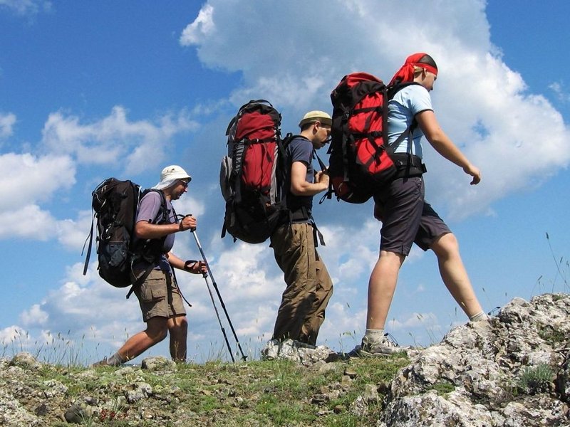
Hiking/Trekking
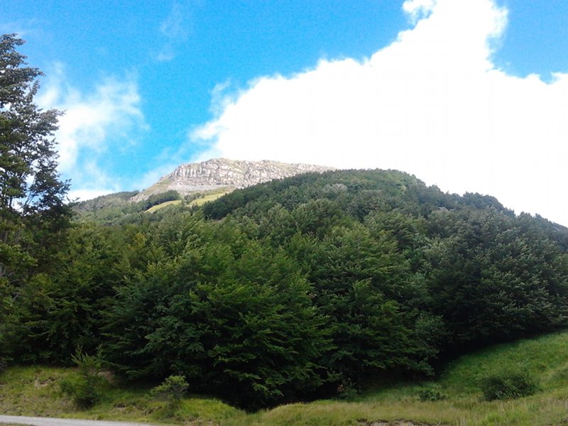
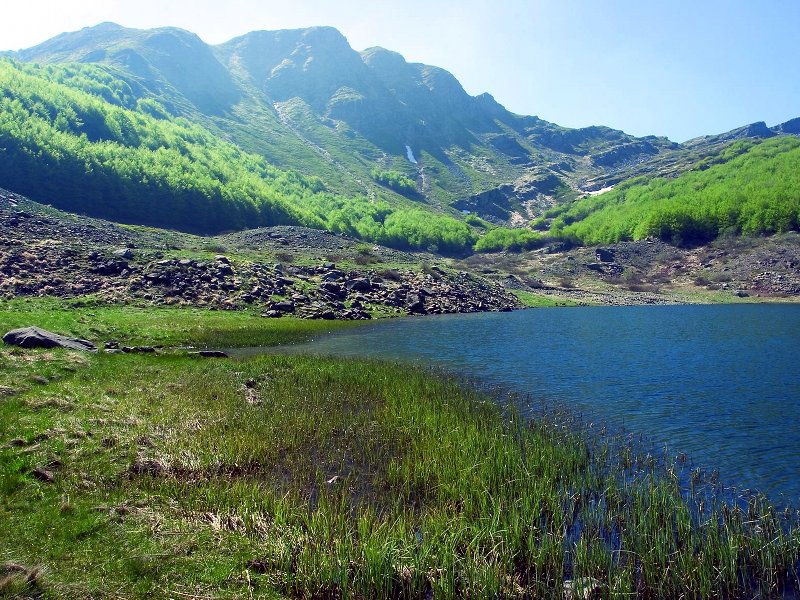
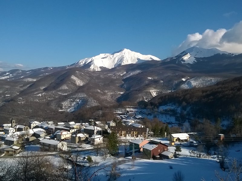
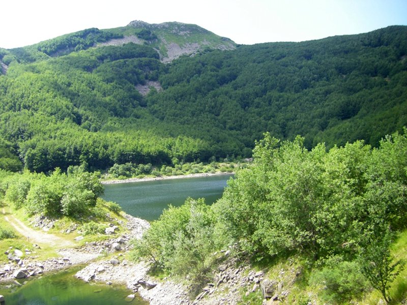
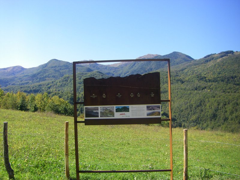
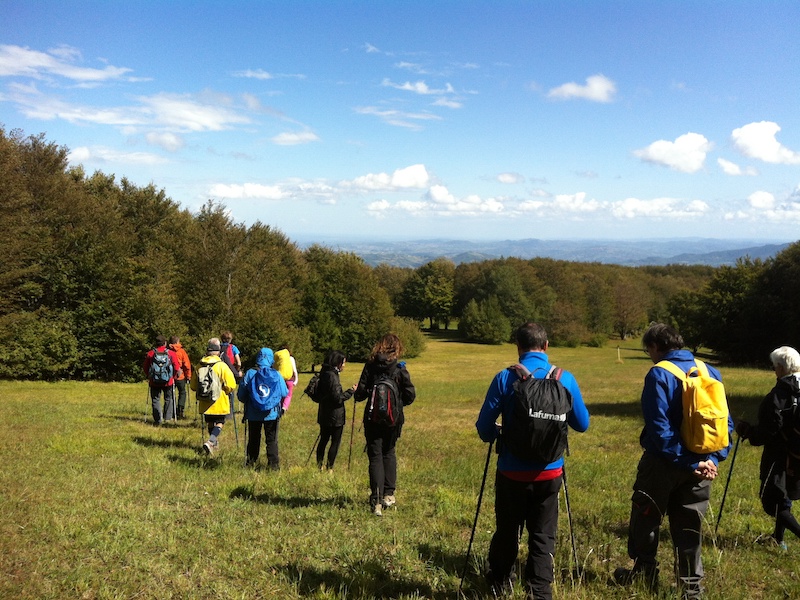
The Regional Park, with its wide territory, offers many and interesting opportunities for expert and demanding hikers.
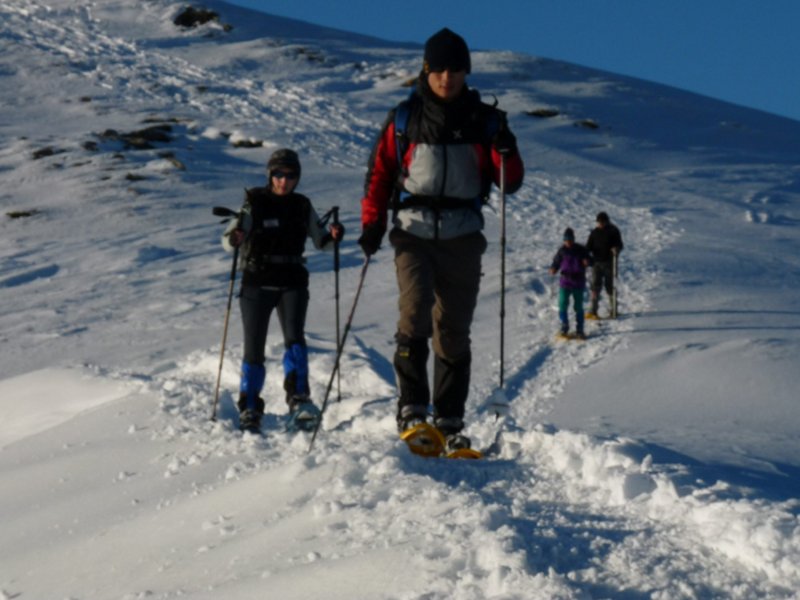
Even winter, with its long months characterized by the snow, is an excellent season to practice trekking with the snowshoes or ski mountaineering. If you want to carry out more demanding excursion safely, the Park organizes many guided excursions btw in winter and summer.
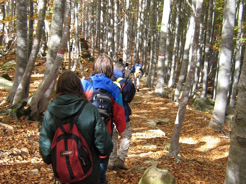
Easy walks
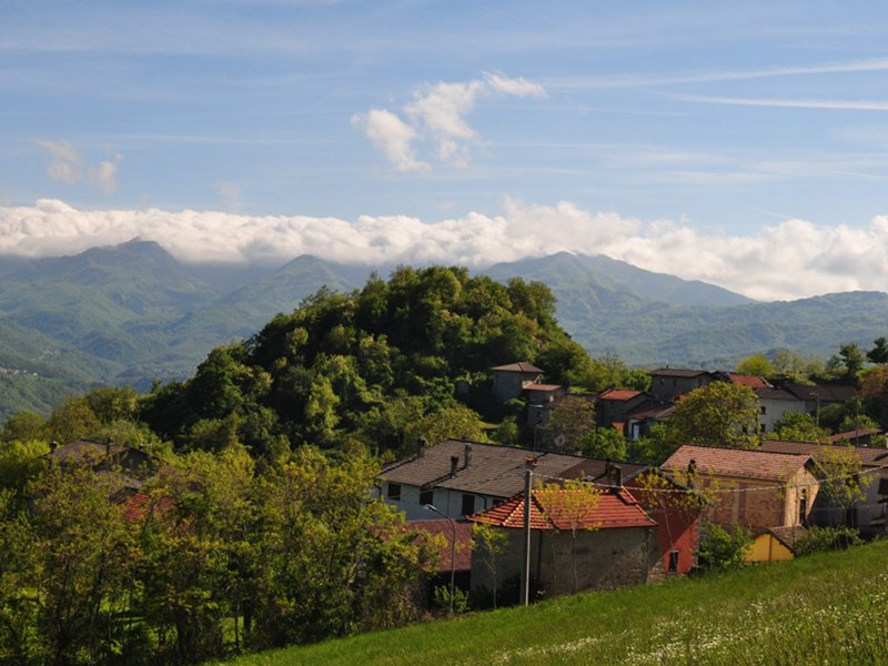
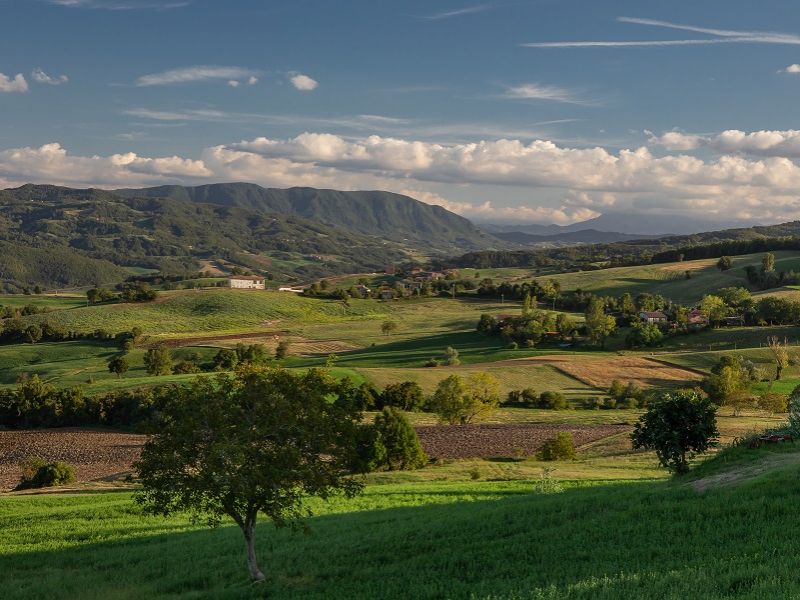
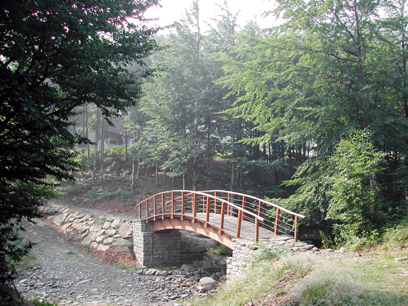
The Park, even though it is located in a mountain environment, offers the visitors the opportunity to discover the territory through simple and short walks on roads with a low difference in height, but interesting and charming at the same time. The Apennine is a mild mountain letting itself be discovered slowly, ideal for those who are not keen on demanding hikes but wish to spend sometimes in the open air.
Further information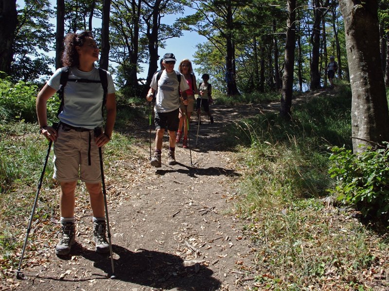
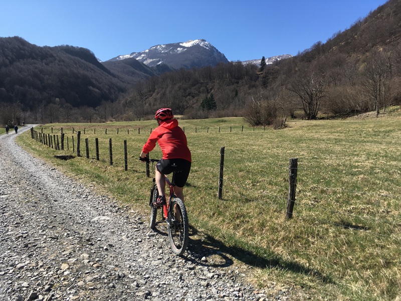
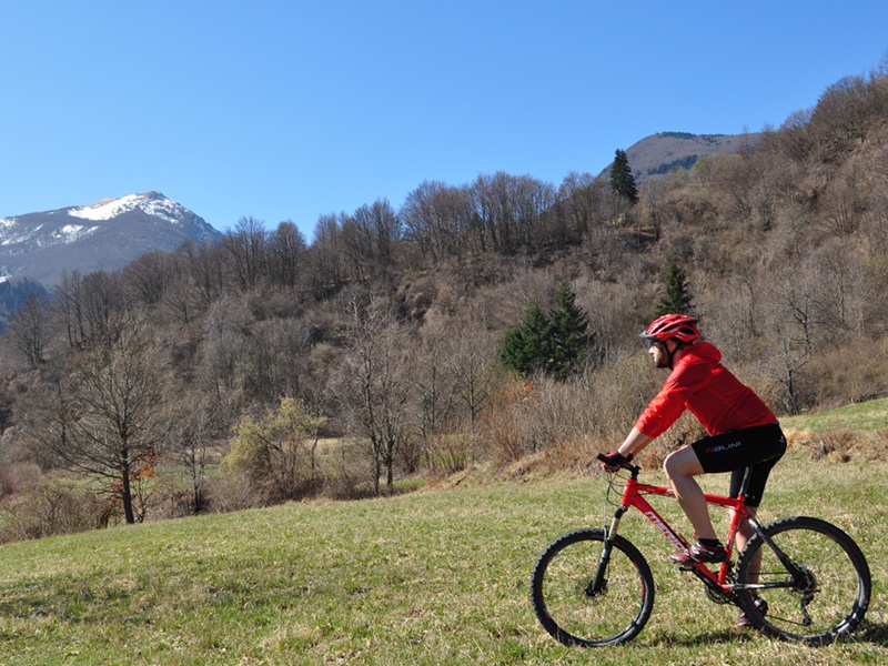
Alta Val Parma by MTB
The network of paths, trails, forest tracks and mule tracks of the Park is ideal for mountain biking, even through a network of specially marked and marked trails.
Alta Val Parma by MTB is a system of 8 paths, with different levels of difficulty, which allows you to discover the Alta Val Parma (in the Municipality of Corniglio PR) by Mountain Bike. It is aimed at various types of bikers: from beginners, to families with teenagers, to trained bikers who want long mileage, challenging climbs, as well as some nice downhill rides in singletrack.
Further information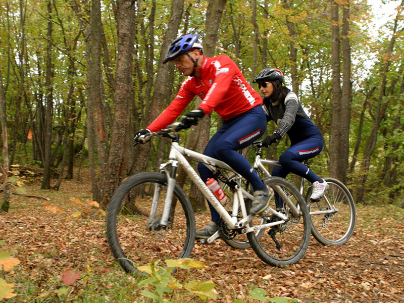
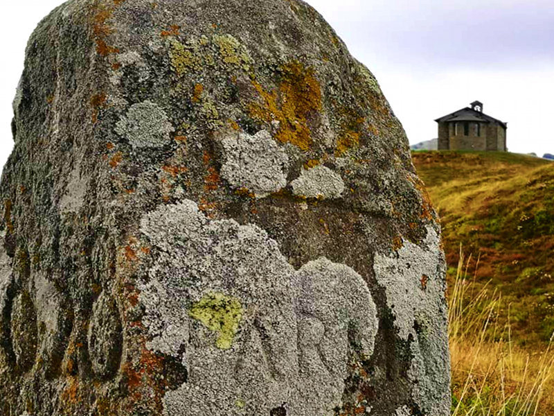
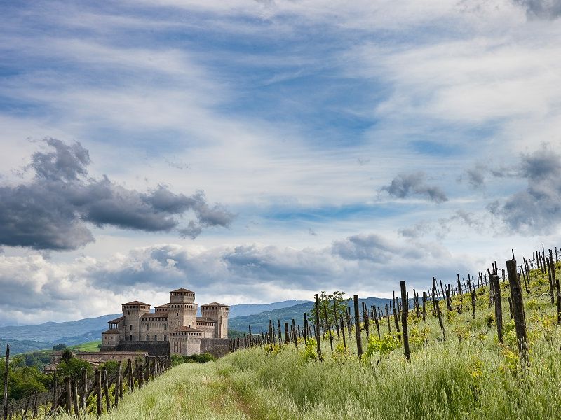
Via Longobarda
From a historical point of view, Via Longobarda is a route that connected Parma and the entire central Po Valley, from Milan to Verona, with Lunigiana and the centres of north-western Tuscany (Luni and Lucca).
It used the Apennine ridge between the Parma and Baganza streams and led to the Cirone pass (1,255 m above sea level) and then descended to the bottom of the Magra valley either to Pontremoli or a little further downstream to Filattiera.
From here one could continue along the better known Via Francigena or by internal routes between Lunigiana and Garfagnana towards the sea, Lucca and Rome.
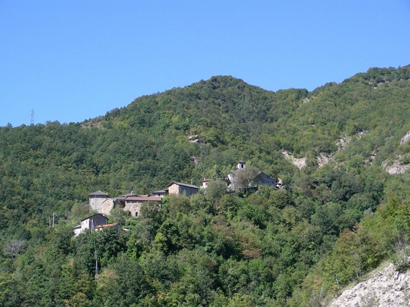
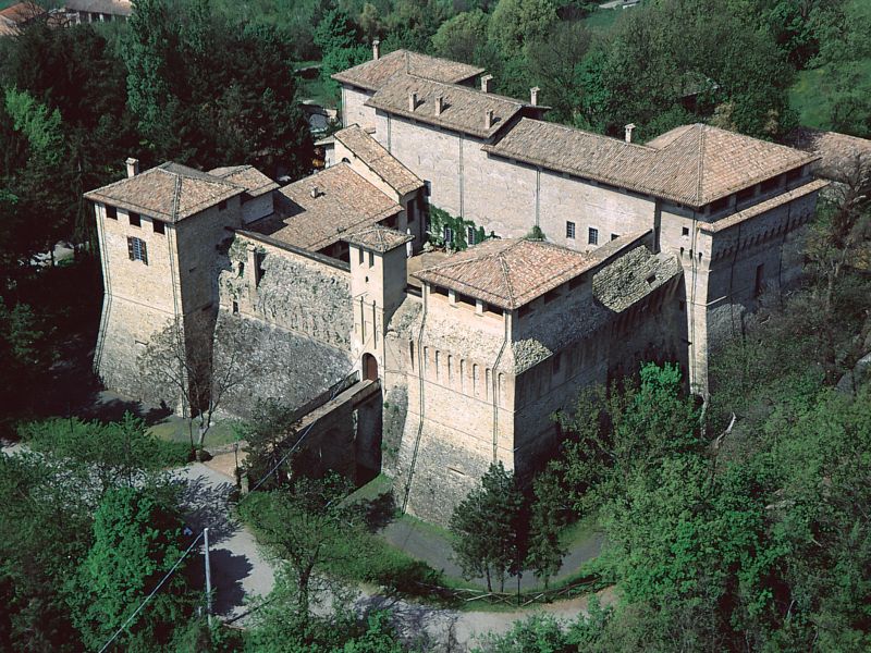
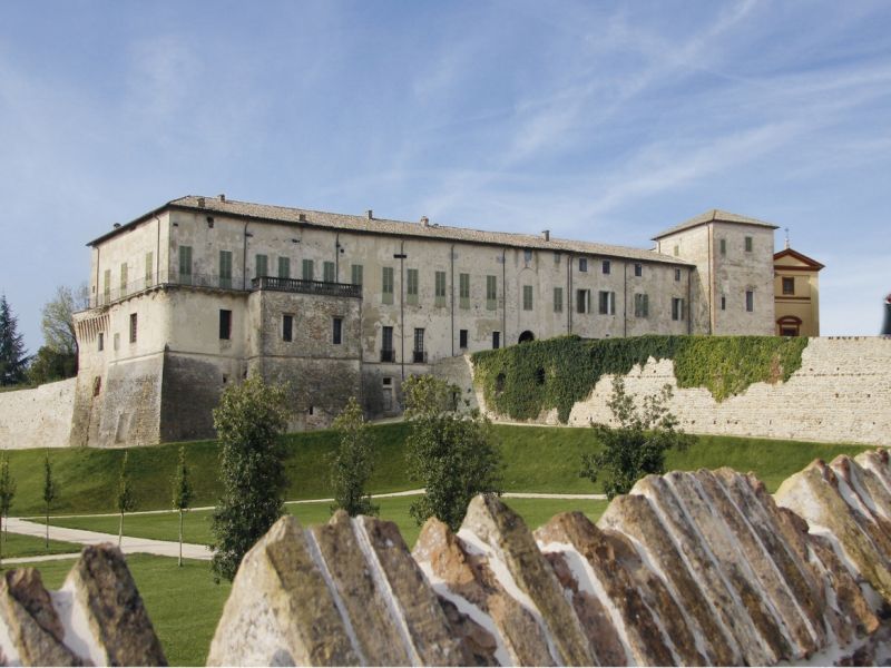
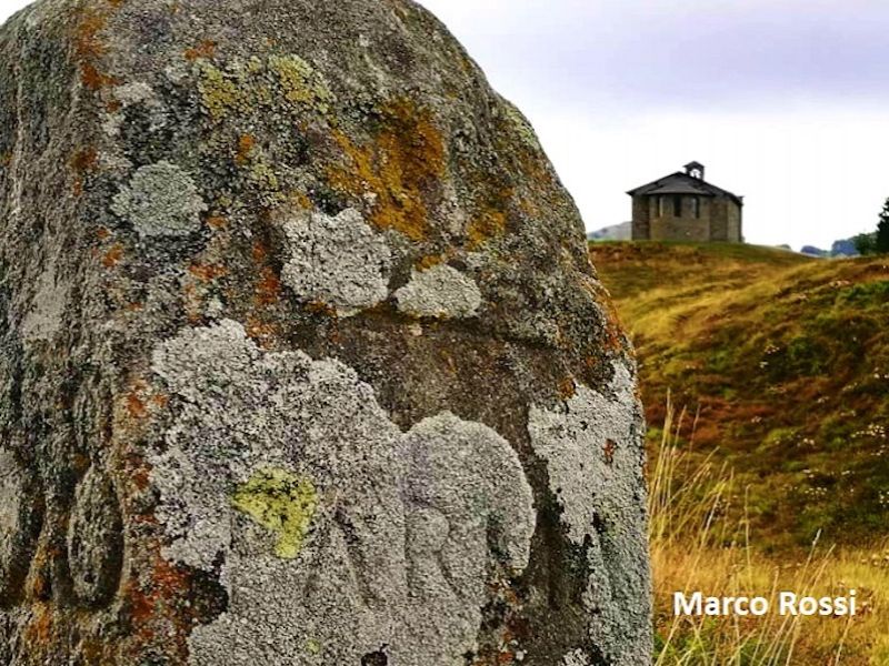
Via Longobarda is dotted with castles, parish churches and the remains of ancient hospitals that confirm its use during the Middle Ages by armies, merchants, travellers and pilgrims. Important archaeological finds ensure its relevance in the Lombard age. In the 14th century, it was also known in the Parma Valley as the 'via dei Monti parmensi' and was for centuries one of the routes for trading and smuggling salt.
The itinerary described and signposted here allows the section of the Via Longobarda to be travelled, from the Parma foothills (Sala Baganza, Felino, Torrechiara and Langhirano) to the Cirone Pass on the border with Tuscany.
Along the itinerary you will cross two of the Regional Natural Parks managed by the Parchi del Ducato, namely the Parco Boschi di Carrega and the Parco dei Cento Laghi, as well as the Appennino Tosco-Emiliano National Park.
The itinerary can be travelled in both directions.
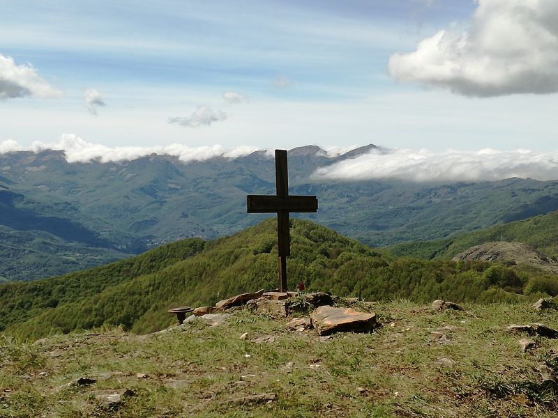
The Alta Via dei Parchi
A long hike in the northern Apennines
The Alta Via dei Parchi is a 27 stages long itinerary to be walked along the Apennines between Emilia-Romagna, Tuscany and the Marches.
Mountain Rescue Service
![]()


