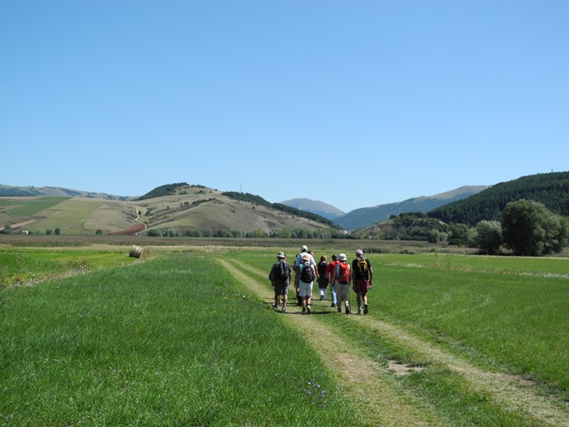
Itinerary of the Castelliere
- Trail Conditions: On foot
- Interest: Flora, Wildlife, Panorama, Archeology, Photography
- Departure: Colfiorito sede Parco (Via della Rinascita)
- Duration: 1 hour/s 10 minutes
- Difficulty Level: TE for tourists and hikers
- Length: 3.5 km
- Difference in height: 130m
- Road: asphalt, dirt road, natural
The itinerary leaves from the Park's head office and it develops as a ring route leading back to the departure point. It can be walked in both directions but we suggest you to go in anti clockwise direction. From the Park's head office one walks a dirt road climbing the slopes of the Mount Orve, and from here, after a short deviation, one reaches the summit, where the main "castelliere" of the area is situated.
Going back to the main path one finds a crossroads through which, turning left, one climbs down towards the marsh of Colfiorito. We suggest you a short deviation to visit the Castelliere of Cassicchio which is still well visible.
Take the asphalt road on the left to go back to the Park's head office through the built-up area of Colfiorito.
Its length is 3.5 km, the difference in height is 130 m. The duration of the walk is about 1 hour and 10 minutes. By going towards the Mount Orve, where the Castelliere is situated, there are further 0.3 km of length, with a difference in height of 38 m.