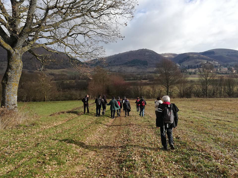
Colfiorito Ring Route - Path no. 311
- Trail Conditions: On foot
- Interest: Flora, Wildlife, Panorama, Archeology, Photography
- Departure: Colfiorito sede Parco
- Duration: 5 hour/s 30 minutes
- Difficulty Level: E - Hiking (level)
- Length: 15 km
- Difference in height: 310m
- Street: asphalt/unpaved/natural
The itinerary starts from the Park headquarters (altitude 760 mt) and develops as a ring route.
It could be travelled in both directions, anticlockwise is recommended.
From the Park headquarters, follow the signs for Via Lauretana (VL) up to Forcatura (altitude 850 mt). Here, turn left in a south-easterly direction down to the Palude Plain, on a grassy path you will reach the connecting road between Polveragna and Casette di Cupigliolo (altitude 795 mt). Turning left you arrive at the SS77 Val di Chienti, cross it and take the unpaved road that leads to the crossing of the new pass variant (SS77/var). The rut continues uphill and intersects with the carriage road coming from the north, follow the track south for about 200 mt, then the route continues left downhill, until it crosses the SP51 and reaches Cesi (altitude 800 mt), turn left and shortly after, turn right, going up the Valle Luce under Monte Trella. After about 3 km, you will reach the SP96 near Taverne di Serravalle di Chienti. At the crossroads, turn left and follow the paved road to the starting point.
The length is 15 km, the difference in height is 310 mt uphill and downhill, while the duration is 5 hours and 30 minutes.