

Itineraries
On Foot in the Park
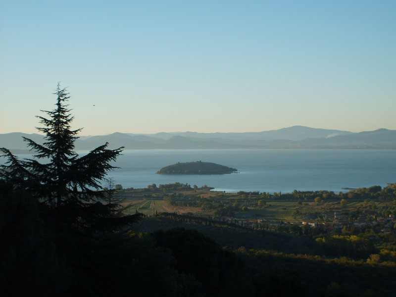
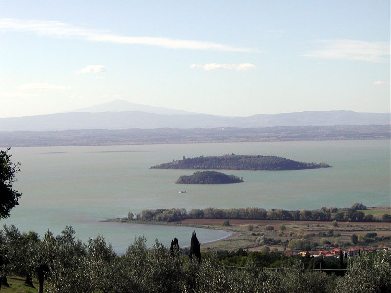
The trail network of Lago Trasimeno Park leads you on foot, but also on horseback or by mountain bike, to the hills surrounding the lake, where the several town centers face. Each itinerary gives the opportunity to appreciate the territory not only for its environments and landscapes, but also for its history and culture. Some old roads down to the lake have been recovered in order to enhance the environmental features of the Park Municipalities, to improve the accessibility for citizens and tourists, as well as to make better discover the Park, promoting a thorough knowledge of the lake ecosystem: Municipality of Castiglione del Lago - downhill road leading to the airport, Municipality of Tuoro S/T - downhill road leading to Casa del Piano - Isola Maggiore downhill road leading to the town center and pedestrian trails Sasso di San Francesco, Municipality of Passignano S/T - downhill road of Oliveto, Municipality of Magione - downhill road of Monte del Lago, Municipality of Panicale - downhill road of Poggio di Braccio and Grottone. There is also the possibility to carry out thematic routes to discover ancient country churches and monasteries, places that were theater of the Trasimeno battle, or to discover fortresses and castles which, from the top of the hills, tell a centuries-old history. An itinerary, called "Perugino's itinerary", develops in the hills and leads to the discovery of the landscapes that inspired the great painter: from Città della Pieve to Paciano, from Panicale to Castiglione del Lago. If you like gastronomy, you can look for the traditional tastes.
Here you will find a list of itineraries to carry out on foot, on horseback, and by mountain bike.
Itineraries in Isola Polvese
Isola Polvese offers three itineraries:
Around and on the Lake
In the Park by Bike
If you love cycling, there is a cycle facility developing from Castiglione del Lago up to loc. La Frusta di S. Arcangelo. With a width of about 2 meters and a length of 25 km, it develops among cultivated fields to the Park borders. The whole route will be available soon, and it will give the opportunity to cycle around Trasimeno Lake for a total of 50 km. The itinerary, entirely marked, is accessible for everyone and without difficulties. It has been planned and created in order to promote the knowledge of the lake ecosystem. It is exclusively reserved to cyclists and pedestrians, and for this reason the materials have been chosen with great care: the path is approximately 2m wide, and the last stratum consists of a mix of sand, clay, vegetal soil, and inert material. The path typologies are mainly three: stretches near the Lake, stretches along SP and SR roads, and stretches following local roads and crossing different estates.
Moreover, there are further cycle itineraries around the lake and its hills:

For further information: www.bikeinumbria.it


