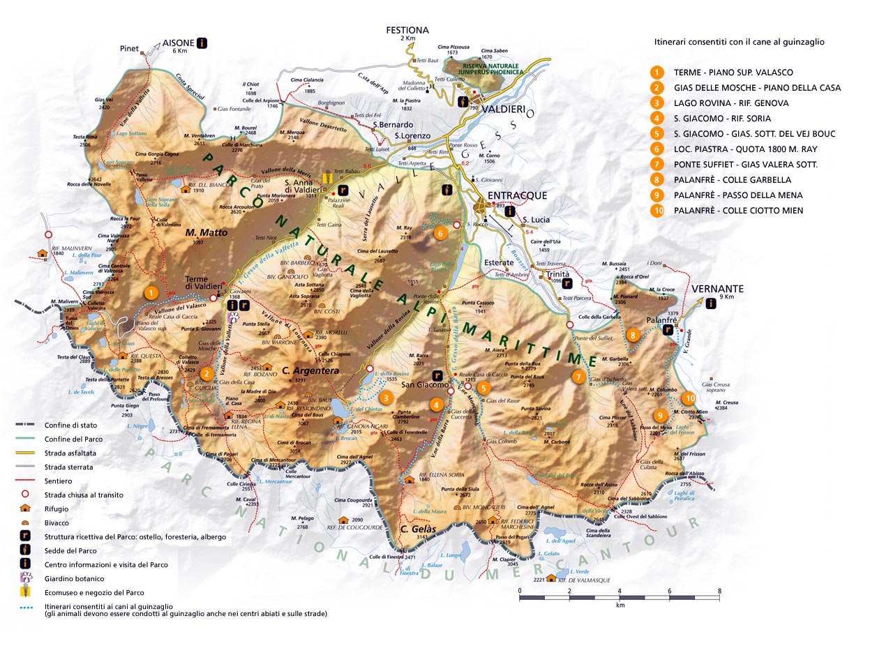
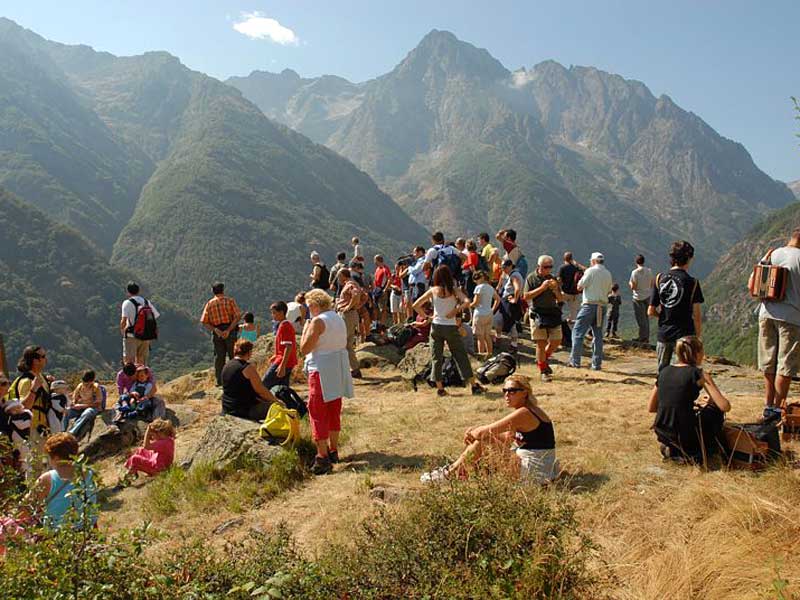
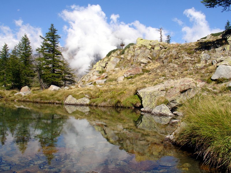
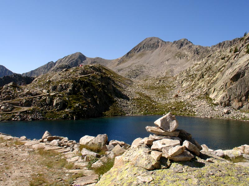
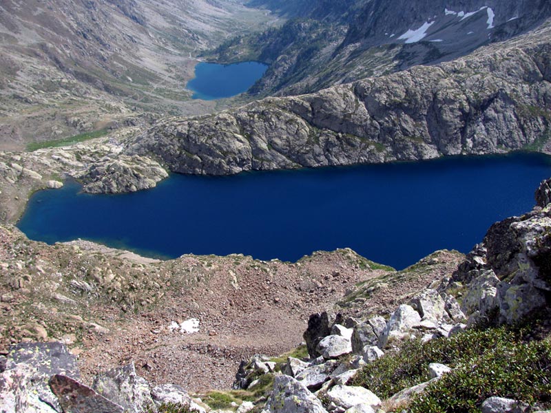
Alpi Marittime Park offers to "walking-lovers" a numberless series of itineraries.
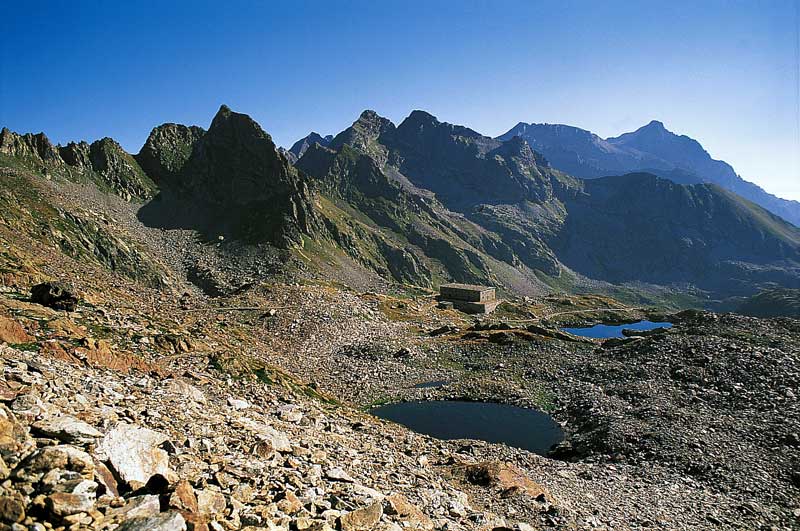
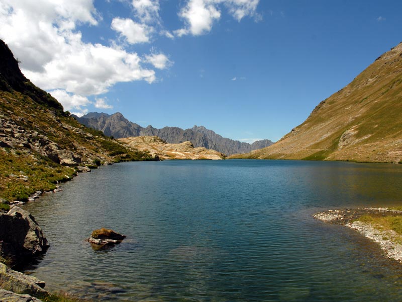
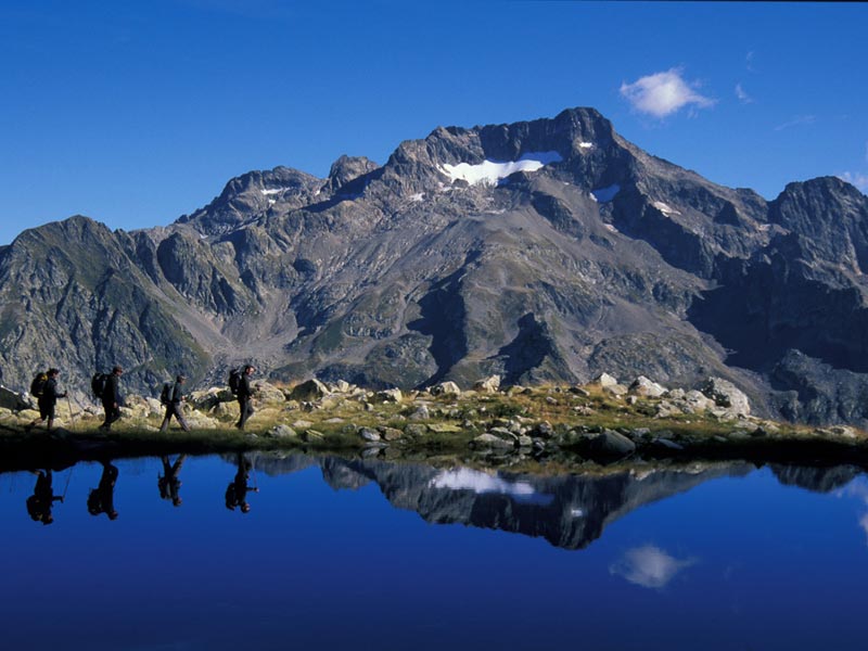
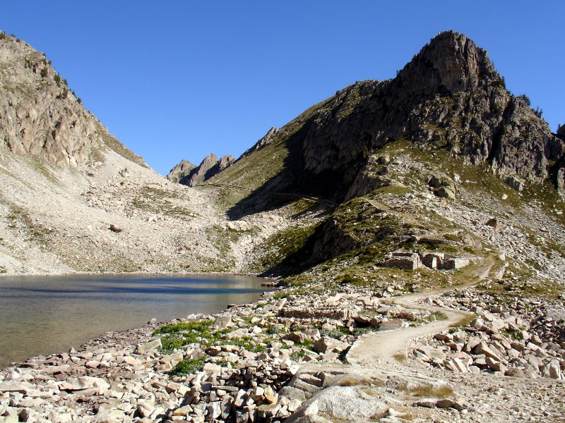
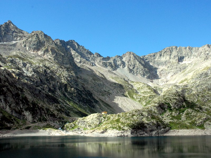
Routes entering valleys, reaching dozens of lakes, climbing several summits and giving the opportunity to trek among the Park valleys and between Italy and France.
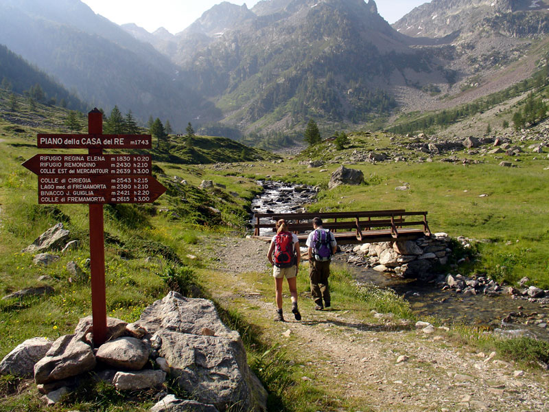
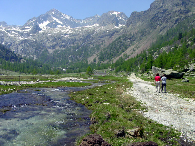
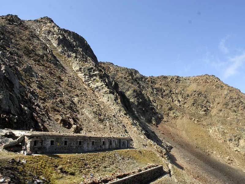
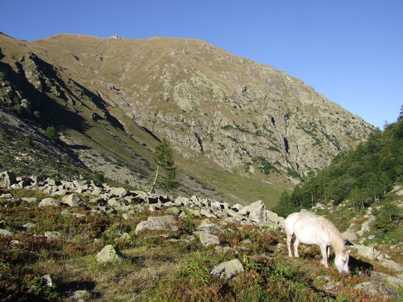
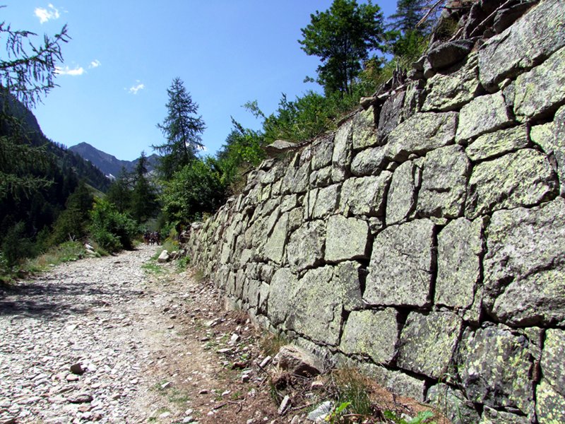
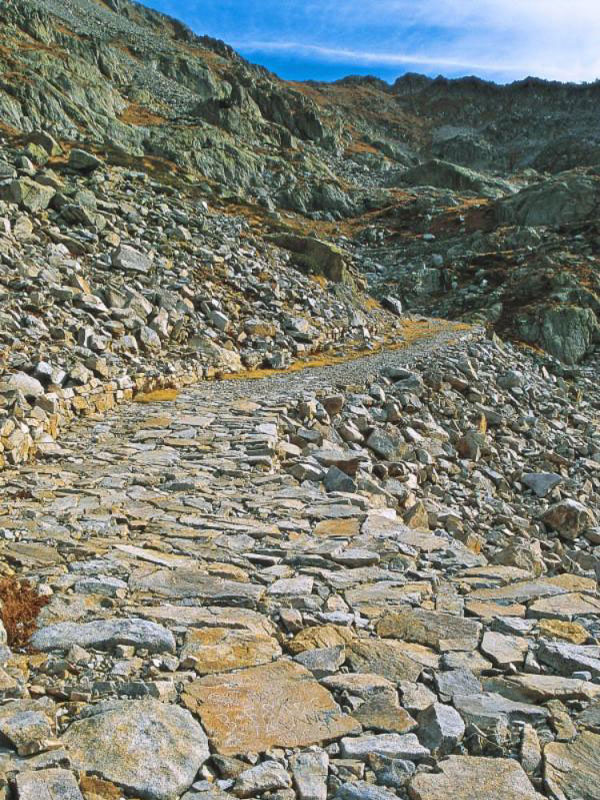
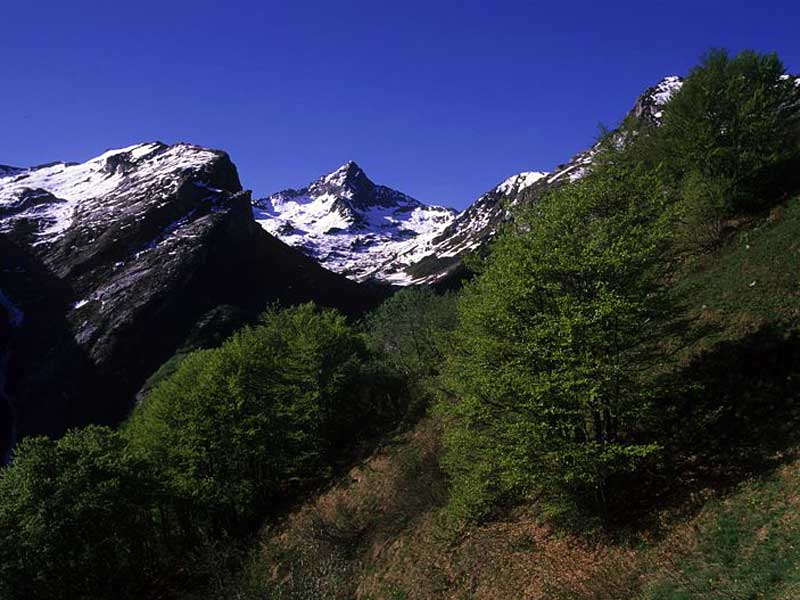
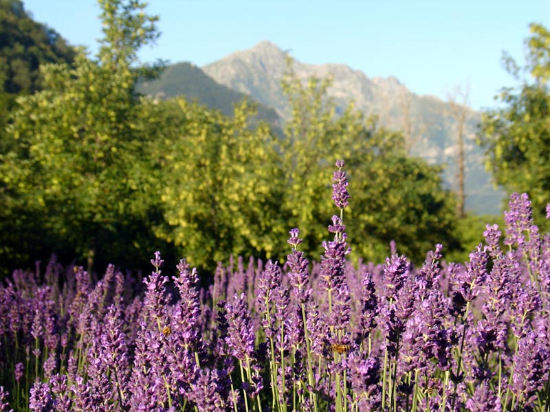
Walking in Marittime is something special. You can go along the medieval salt ways, the mule tracks of the ancient Royal Hunting Reserve, the paved military roads of the last war which are an engineering work of art. And you will be surrounded by an extraordinary environment rich in flora, fauna, and great views going from the Italian and French plains to the Mediterranean.
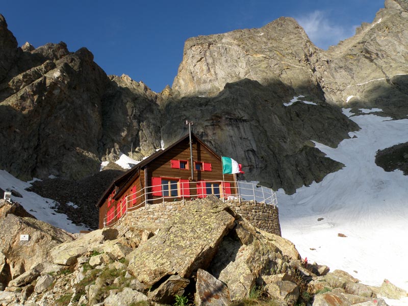
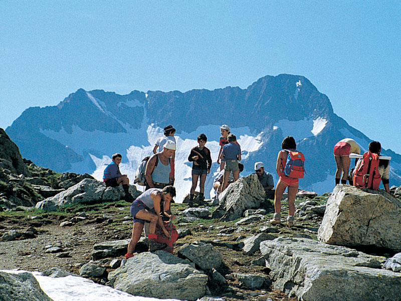
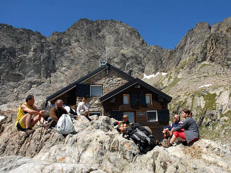
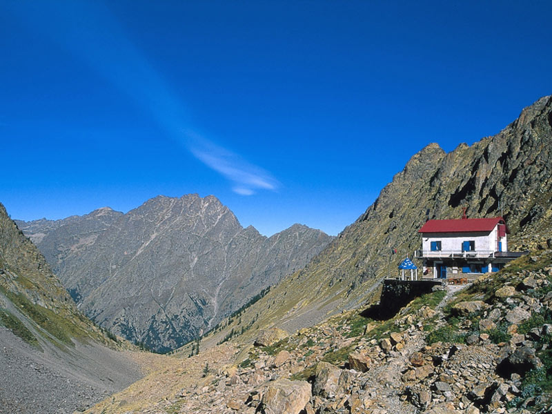
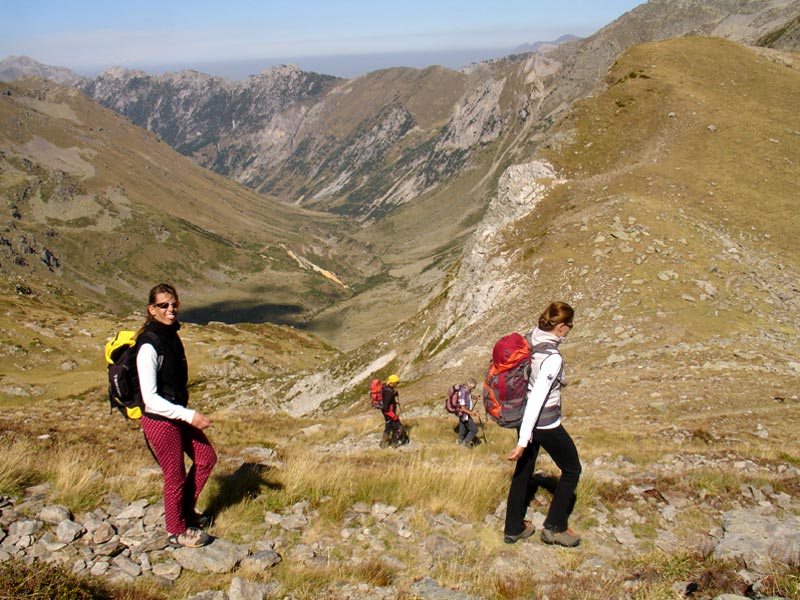
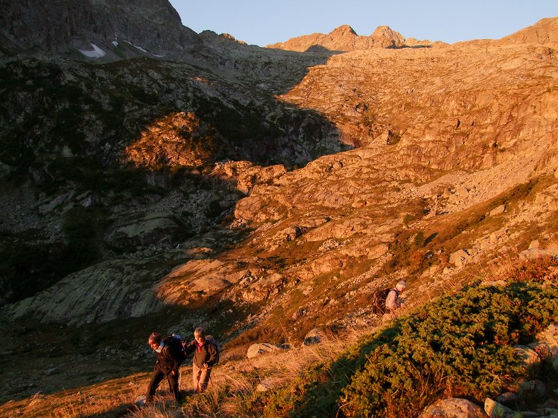
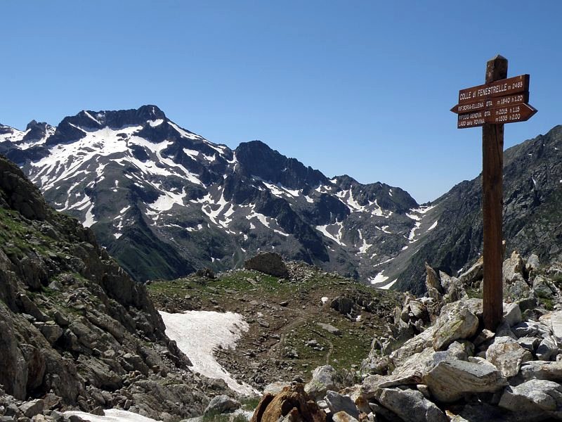
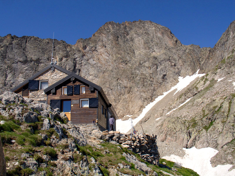
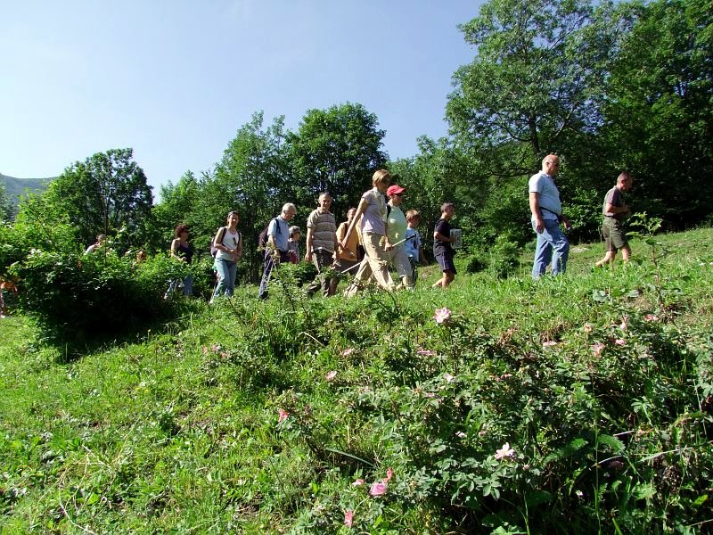
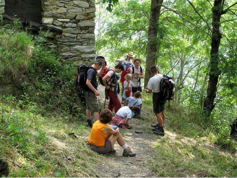
In Marittime there are itineraries for everyone, for families with children and for the most exacting expert hikers. There are several itineraries with trail markers indicating walking time and altitude, and many mountain huts to use as a destination, a rest or a stop point during your walks in Marittime.
The access for dogs in the protected area is subject to rules. Along the trails admitting the presence of pets, the use of leash is compulsory. Download the map
| Georef. | Itinerary | Typology | Interest | ||
![]() | ![]() | Colle di Ciriegia Departure: Pian della Casa | | On foot 2 h 30 m | |
![]() | ![]() | Emilio Questa Mountain Hut and Valscura Lakes Departure: Terme di Valdieri | | On foot 6 h 30 m | |
![]() | ![]() | Morelli Buzzi Mountain Hut - Colle del Chiapous Departure: Terme di Valdieri | | On foot 3 h 45 m | |
![]() | ![]() | Vej del Bouc Lake Departure: San Giacomo di Entracque | | On foot 3 h | |
![]() | ![]() | Western Colle del Sabbione Departure: Ponte di Porcera | | On foot 4 h | |
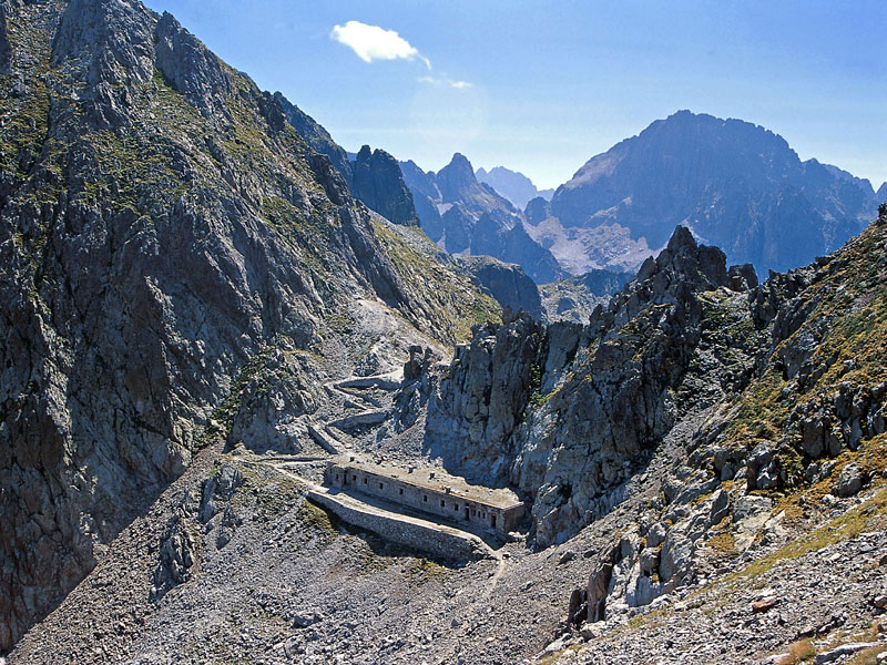
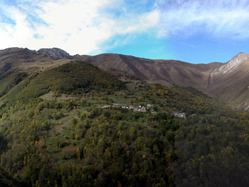
Alta Via dei Re is the traverse in seven laps of Alpi Marittime Park touching the most important localities of the protected area: the panoramic points, the richest places in wildlife, the most beautiful lakes. Places "fit for a King": places linked in some way to the House of Savoy, whose members used to come and visit often Valle Gesso for almost one century. Their presence is witnessed by a rich heritage of buildings, hunting lodges, monuments and, above all, the thick network of roads, mule tracks, and trails along which Alta Via dei Re develops.
The itinerary, an alternative to the easier itinerary of GTA, in its complete version has some stretches (Brocan Pass, Passaggio dei Ghiacciai) developing on a bumpy and exposed road bottom, therefore it must be carried out with the adequate training and equipment.
Sant'Anna di Valdieri is accessible by bus from Cuneo (timetables: www.benese.it).
To return to the departure point, a shuttle bus service is available on demand: Tel. +39 0171 978068
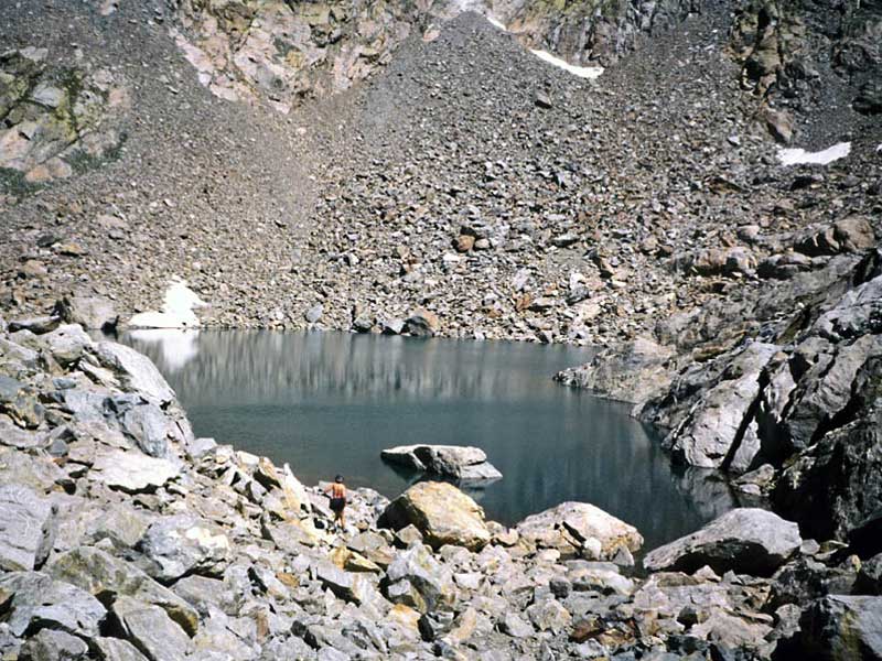
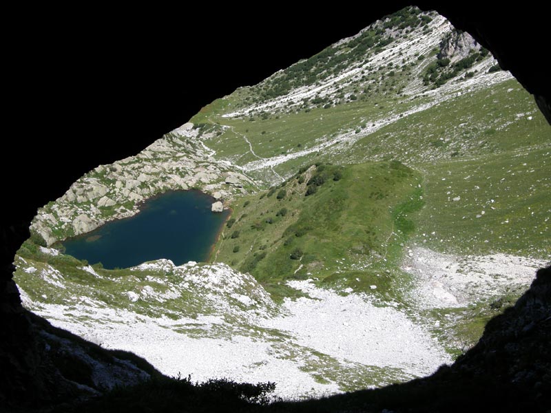
| Georef. | Itinerary | Typology | Interest | ||
![]() | 1. Sant'Anna di Valdieri - Dante Livio Bianco Mountain Hut Departure: Sant'Anna di Valdieri | | On foot E - Hiking (level) 3 h | | |
![]() | 2. Dante Livio Bianco Mountain Hut - Royal Hunting Lodge at Piano del Valasco Mountain Hut Departure: Rifugio Dante Livio Bianco | | On foot E - Hiking (level) 6 h 30 m | | |
![]() | 3. Royal Hunting Lodge at Piano del Valasco Mountain Hut - Franco Remondino Mountain Hut Departure: Rifugio Casa reale di Caccia al Piano del Valasco | | On foot E - Hiking (level) 7 h | | |
![]() | 4. Franco Remondino Mountain Hut - Genova Mountain Hut Departure: Rifugio Franco Remondino | | On foot EE - For expert hikers 3 h 30 m | | |
![]() | 5. Genova Mountain Hut - Ellena-Soria Mountain Hut Departure: Rifugio Genova | | On foot E - Hiking (level) 4 h | | |
![]() | 6. Ellena-Soria Mountain Hut - Federici Marchesini al Pagarì Mountain Hut Departure: Rifugio Ellena-Soria | | On foot EE - For expert hikers 6 h | | |
![]() | 7. Federici Marchesini al Pagarì Mountain Hut - San Giacomo di Entracque Departure: Rifugio Federici Marchesini al Pagarì | | On foot E - Hiking (level) 4 h | | |
![]() | Alternative Route: Morelli-Buzzi Mountain Hut - Genova Mountain Hut Departure: Rifugio Morelli-Buzzi | | On foot E - Hiking (level) 2 h 30 m | | |
![]() | Alternative Route: Royal Hunting Lodge at Piano del Valasco Mountain Hut - Morelli-Buzzi Mountain Hut Departure: Rifugio Casa reale di Caccia al Piano del Valasco | | On foot E - Hiking (level) 4 h | |
| Georef. | Itinerary | Typology | Interest | ||
![]() | Fremamorta Lakes Departure: gias delle Mosche | | On foot 2 h 30 m | ||
![]() | Meris Lakes Departure: Sant'Anna di Valdieri | | On foot 4 h 30 m | ||
![]() | Nasta Lake, the Highest in the Park Departure: parcheggio gias delle Mosche | | On foot 3 h 30 m | ||
![]() | The Mirrors of Mt. Frisson Departure: Palanfré | | On foot 5 h |
| Georef. | Itinerary | Typology | Interest | ||
![]() | Colle delle Finestre: A Road for Pilgrims and Smugglers Departure: San Giacomo di Entracque | | On foot 4 h | ||
![]() | Following the Tracks of the King and Mussolini Departure: Terme di Valdieri | | On foot |
| Georef. | Itinerary | Typology | Interest | ||
![]() | From Palanfré to Trinità across Mena Pass Departure: Palanfré | | On foot E - Hiking (level) 5 h 15 m | | |
![]() | From Trinità di Entracque to Palanfré Departure: Trinità di Entracque | | On foot 4 h 30 m |
| Georef. | Itinerary | Typology | Interest | ||
![]() | Beech Woodland Nature Trail Departure: Palanfrè | | On foot 1 h 30 m | | |
![]() | La via di Téit Culture Trail Departure: Vernante - area attrezzata del Bec Moler | | On foot 4 h 30 m | ||
![]() | Rye Ecomuseum Trail Lo viòl di tàit Departure: Sant'Anna di Valdieri | | On foot 1 h 30 m | ||
![]() | Terme di Valdieri Nature Trail Departure: Terme di Valdieri - giardino botanico | | On foot 1 h | |
| Georef. | Itinerary | Typology | Interest | ||
![]() | Bozano Mountain Hut: At the Foot of Argentera Departure: parcheggio gias delle Mosche | | On foot 2 h 30 m | ||
![]() | Colle di Fenestrelle: A View over Gelàs and Argentera Departure: Area attrezzata del Lago della Rovina | | On foot 2 h 45 m | ||
![]() | Mt. Gelàs Glaciers Departure: San Giacomo di Entracque | | On foot 4 h 45 m | ||
![]() | Vallone di Lourousa: The Highest Walls of Marittime Departure: Terme di Valdieri | | On foot 3 h 45 m |