


Itineraries
Thematic itineraries
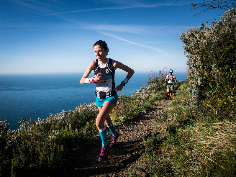
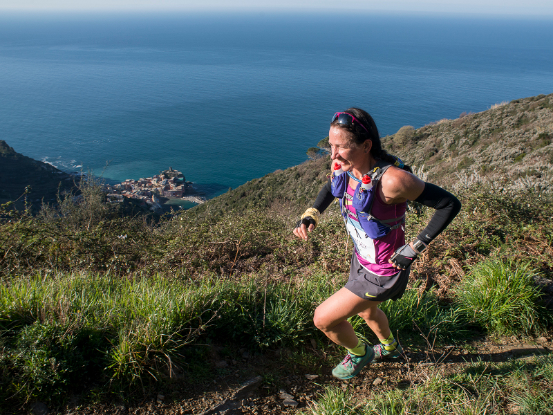
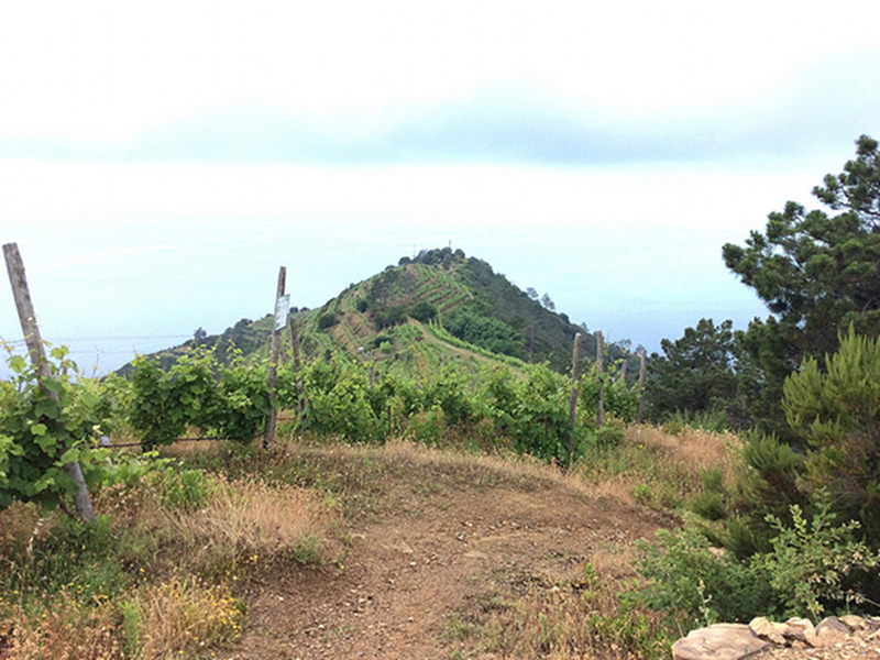
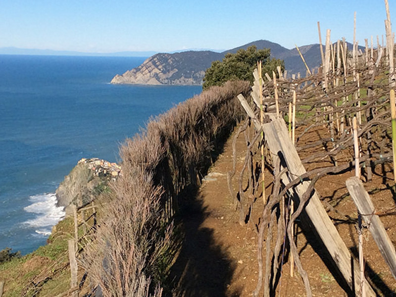
Sciacchetrail
The name Sciacchetrail comes from the union of the words Sciacchetrà and Trail: namely the straw wine produced in this territory and the nature race.
Sciacchetrail is the route to regain the soul of this territory, to emphasize struggle as a moment of research, analysis and union. So developed the idea of a race able to unite the Communities and to enhance the territory and the efforts needed for its cultivation.
Liguria Trail
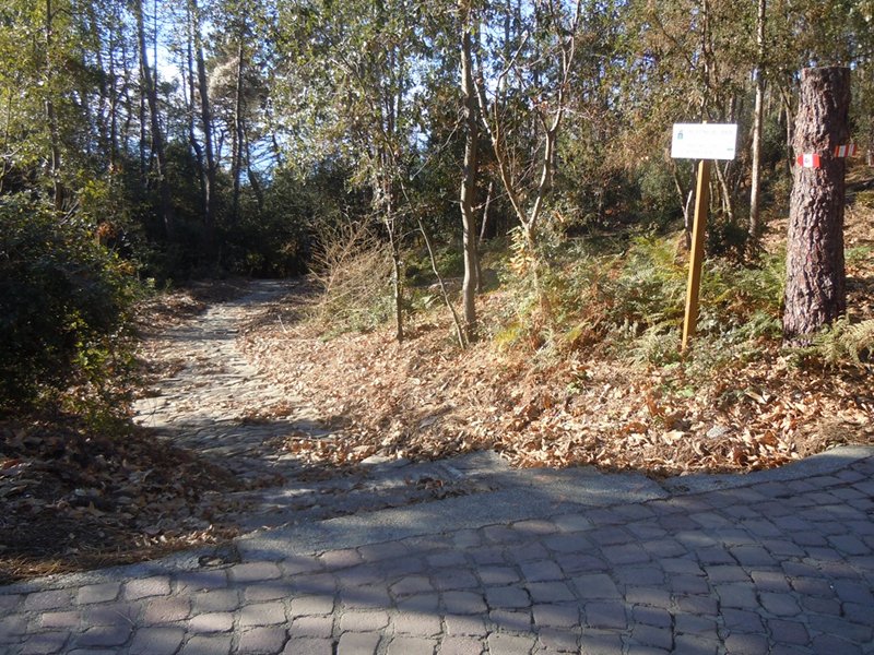
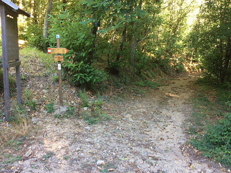
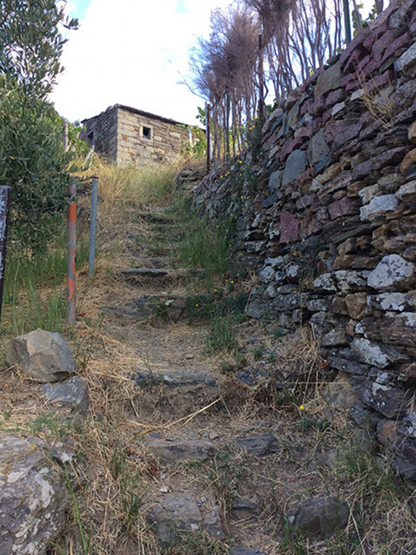
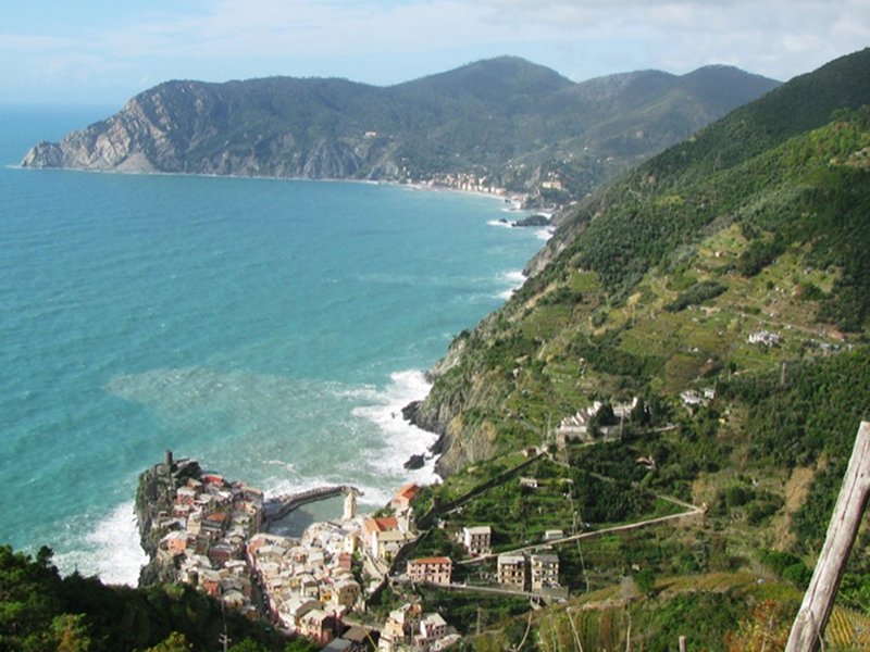
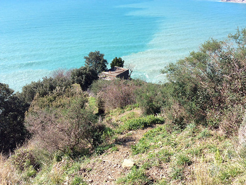
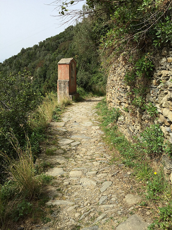
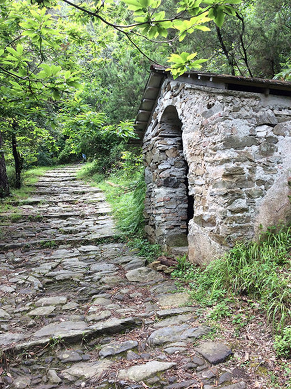
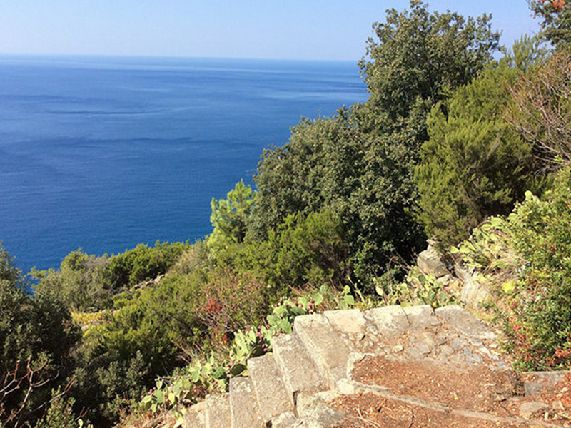
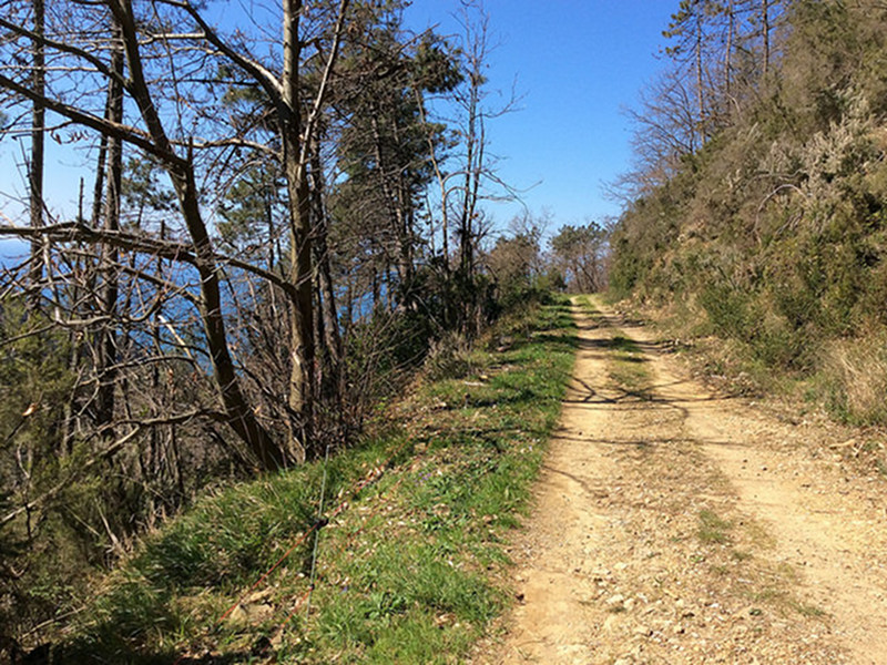
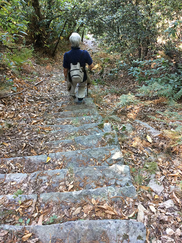
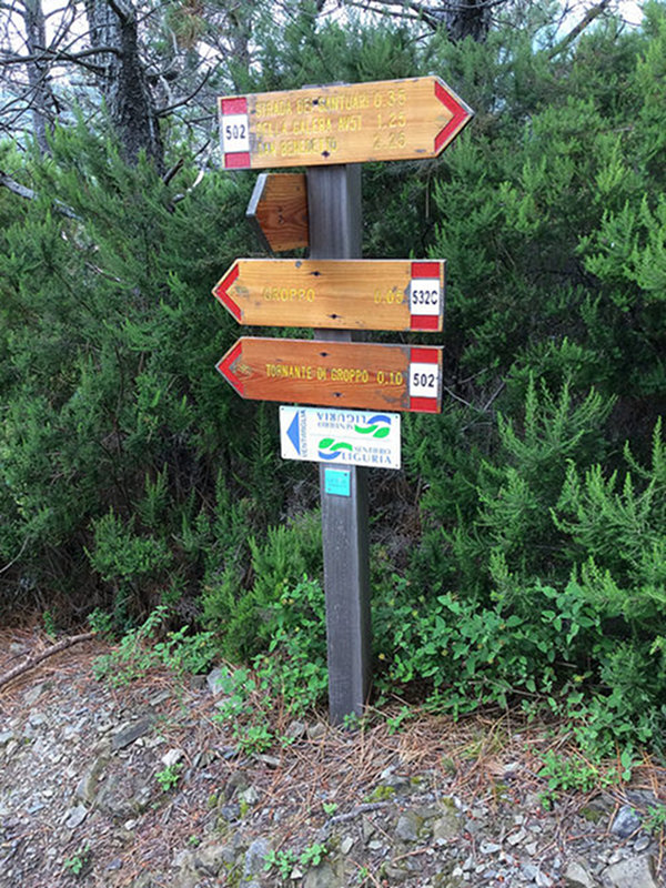
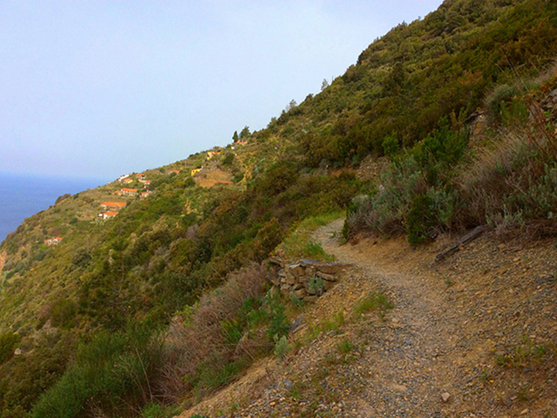
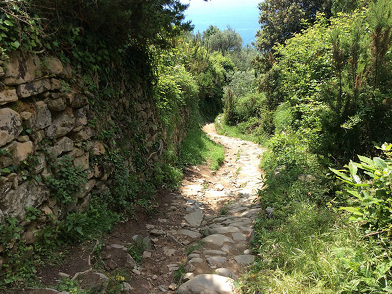
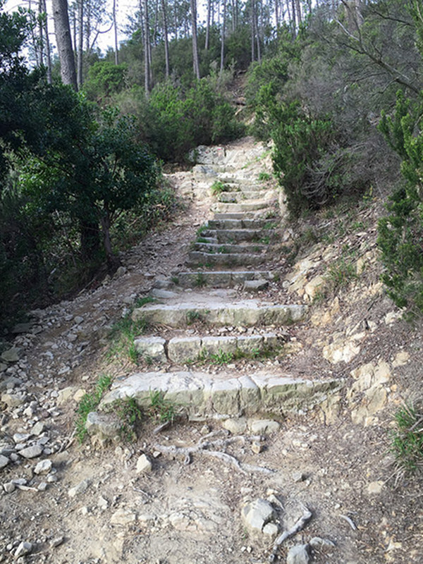
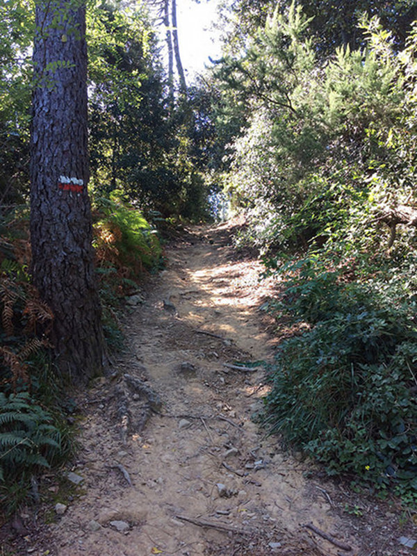
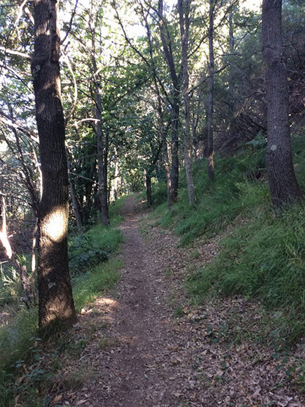
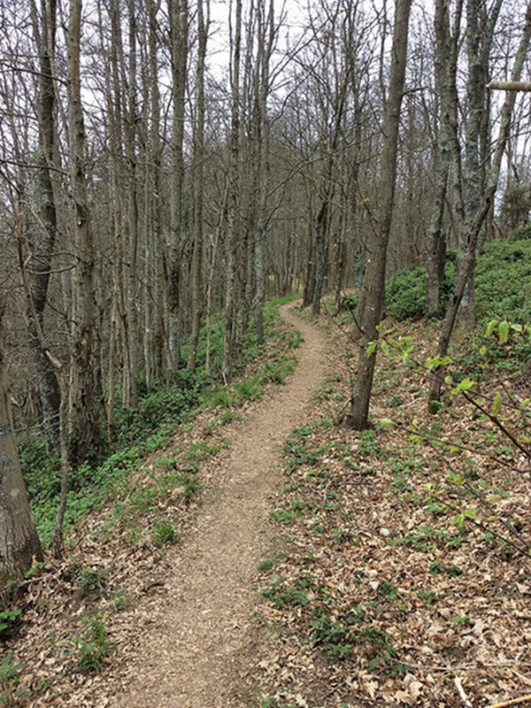
Trails and Trekking
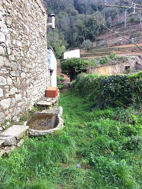
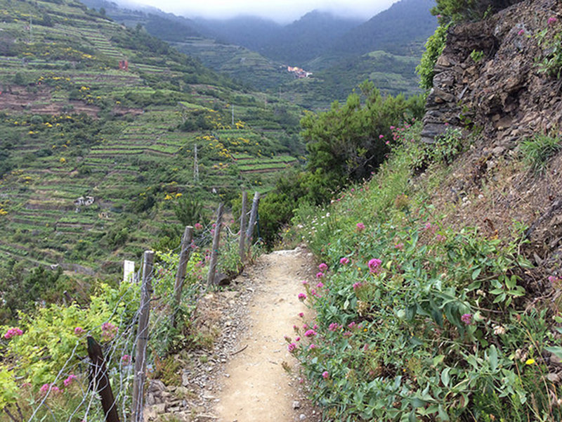
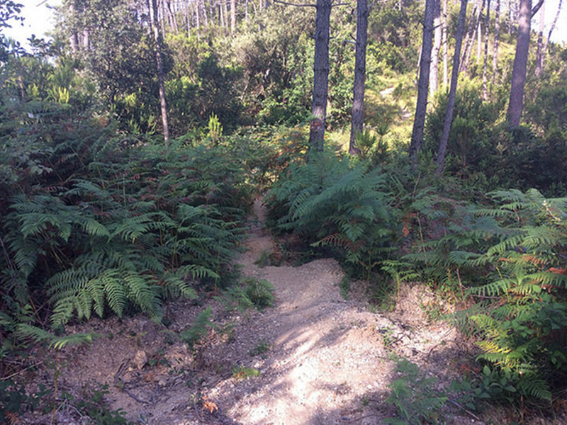
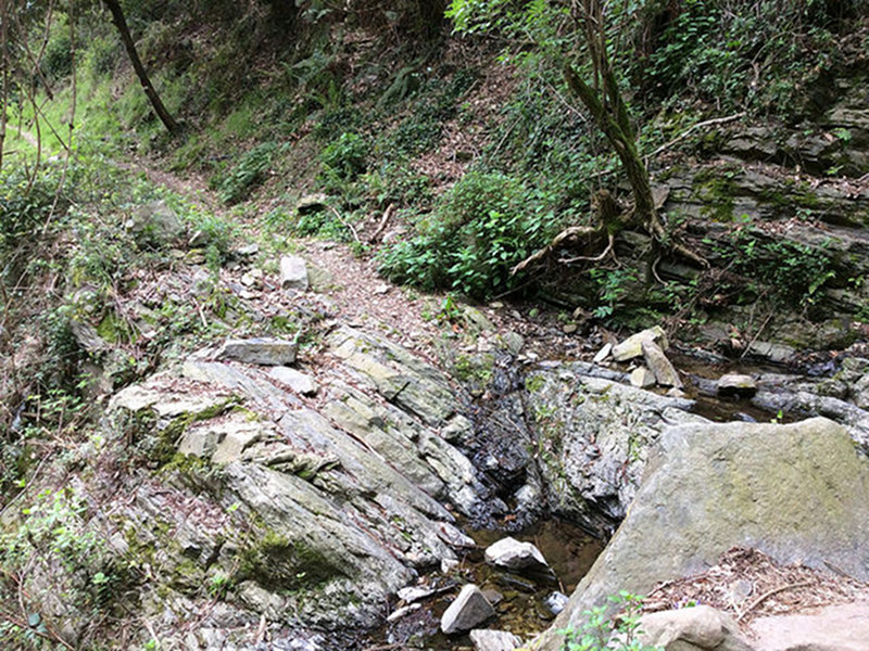
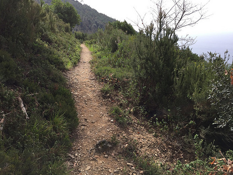
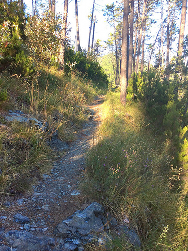
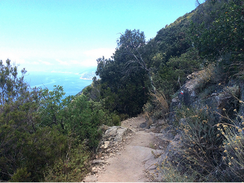
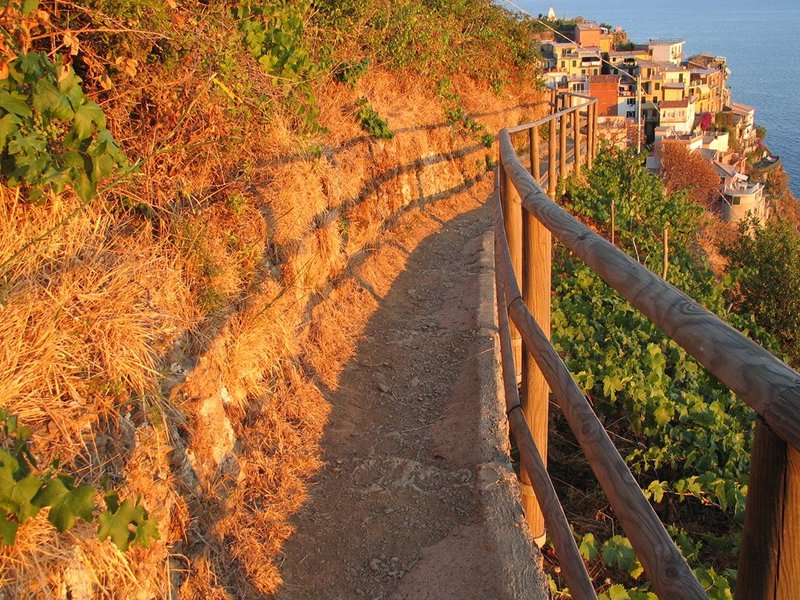
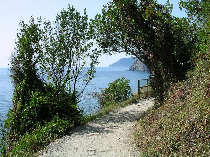
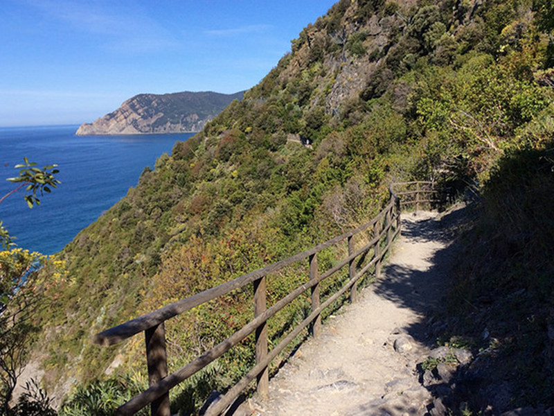
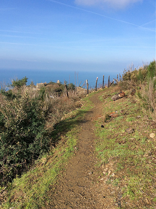
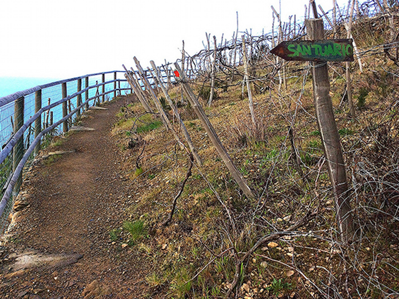
Considering the particular orographic and morphological features of the territory, the trails of Cinque Terre need adequate clothing and shoes. The trails here are similar to mountain trails, most of them without any protection, with sometimes considerable differences in height and exposed points; the trail bottom varies according to the weather conditions, and can sometimes be bumpy.
We remind you that the Cinque Terre National Park's trails must be always walked with good climatic weather conditions, with adequate shoes and only by persons having a good hiking experience.
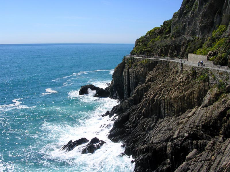
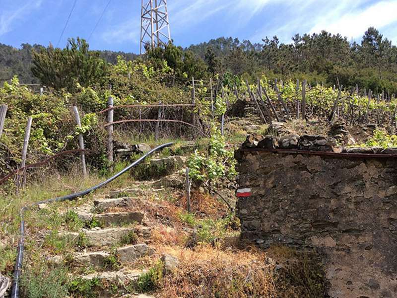
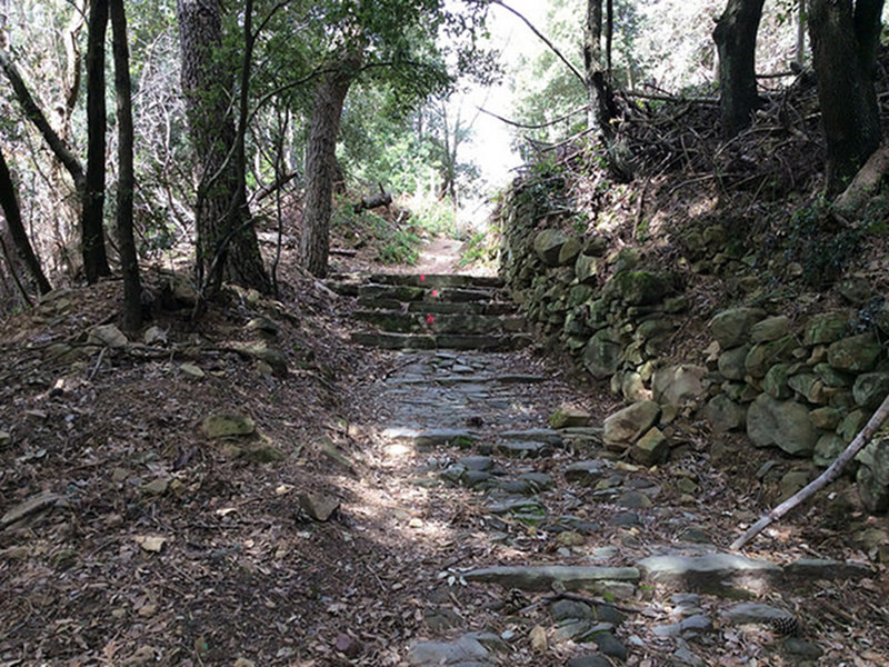
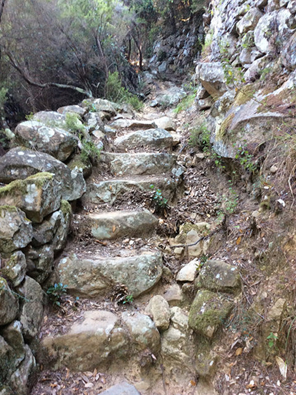
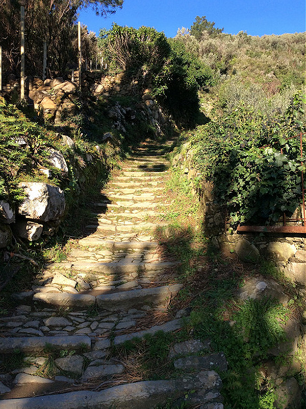
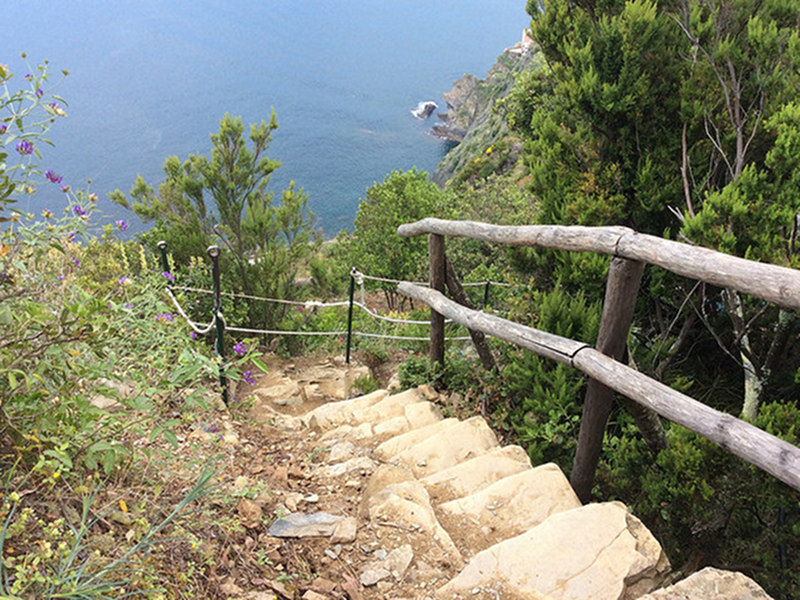
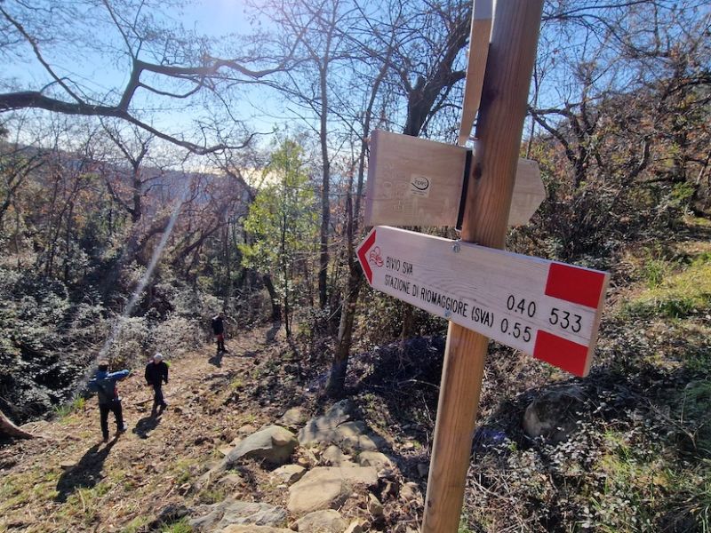
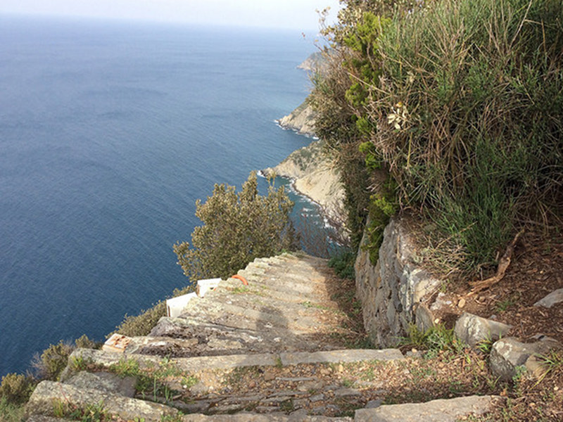
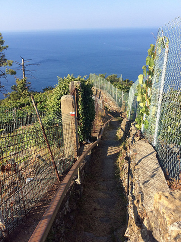
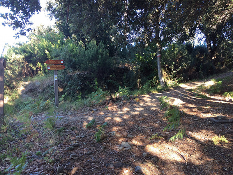
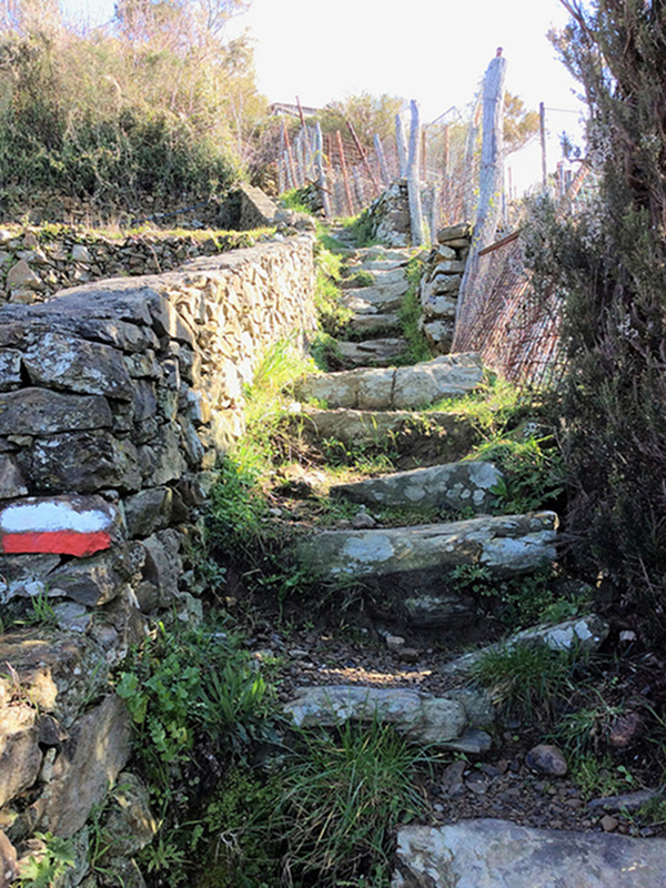
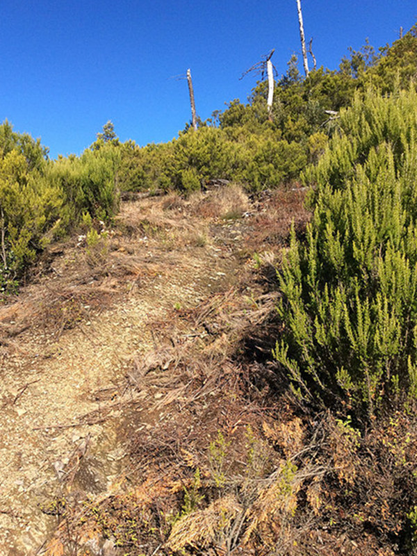
Notice: Some trails marked as closed and not accessible are not equipped with barriers. Anyways, we remind you that it is forbidden to walk them because you can risk yours and other people's life.
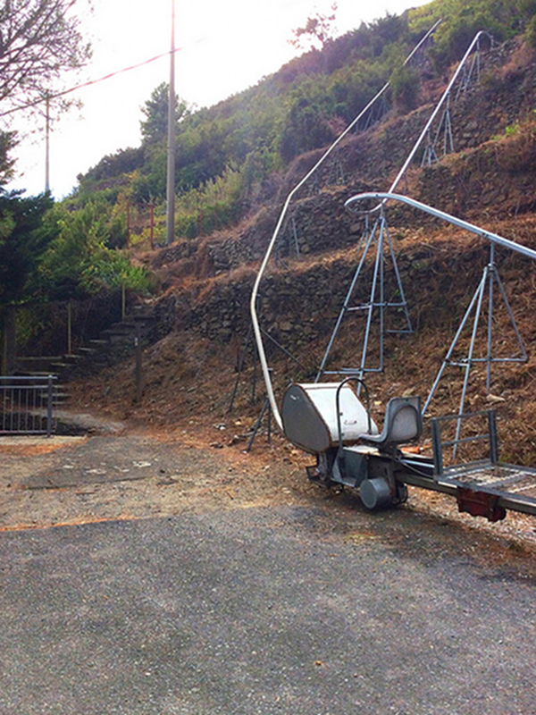
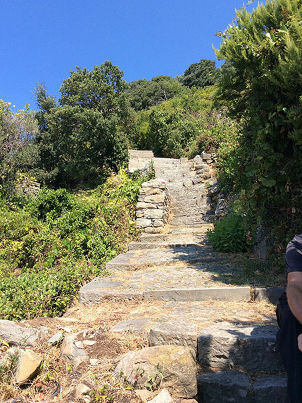
Sentieri per Tutti - Paths for everybody
In the Park territory there are four paths passable by people with disabilities
The initiatives dedicated to disability continue with the "Un Sentiero per Tutti" project, in which the CAI of La Spezia, in collaboration with the Cinque Terre National Park, has identified four paths, all starting from Colle del Telegrafo, passable by people with disabilities. The project aims to bring the disabled, both motor and mentally on the paths, using a special single-wheeled wheelchair called Joelette which will be made available by the CAI section of La Spezia together with reception points for people with disabilities near the paths.
Underwater Itineraries


