


Itineraries
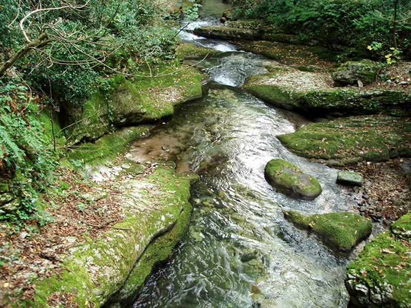
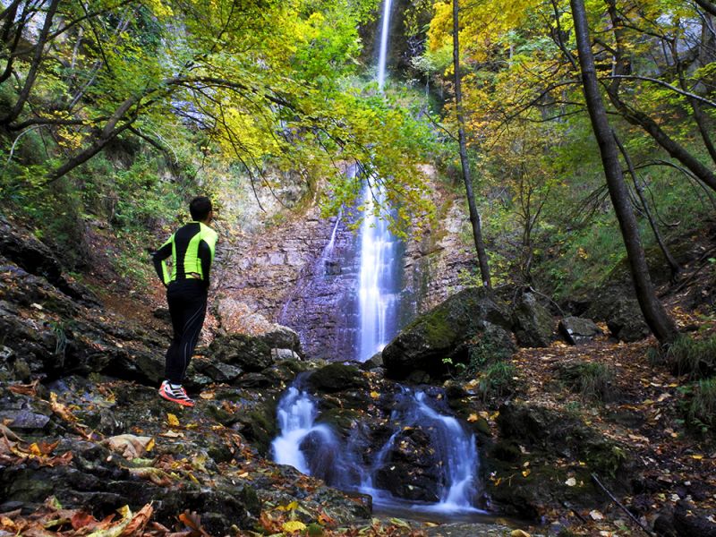
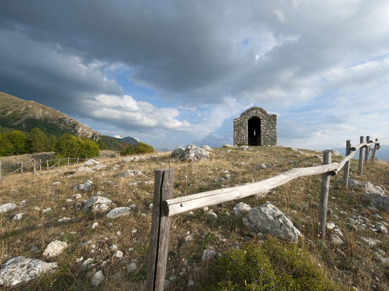
Paths in the Park
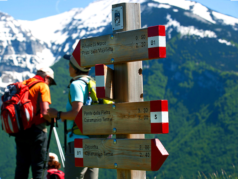
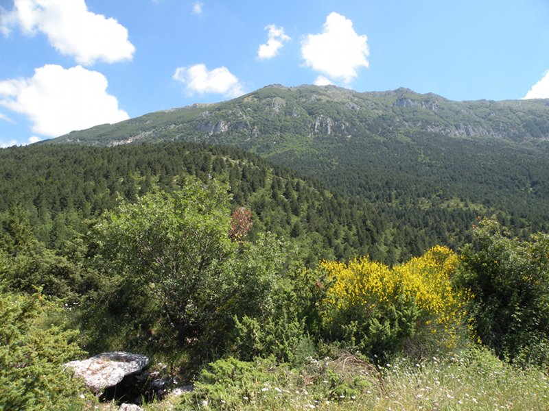
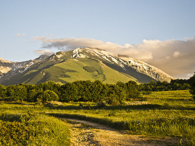
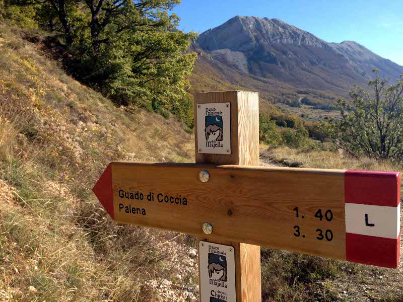
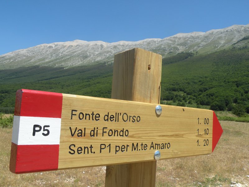
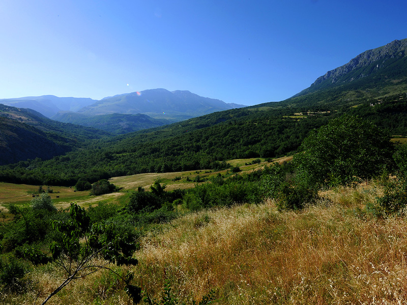
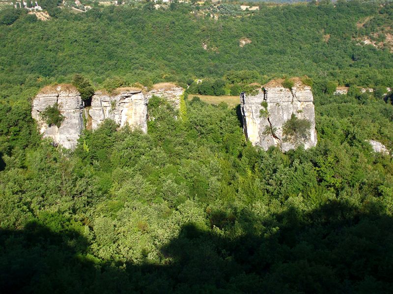
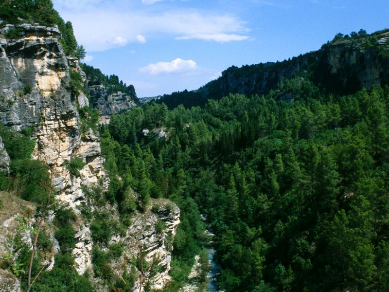
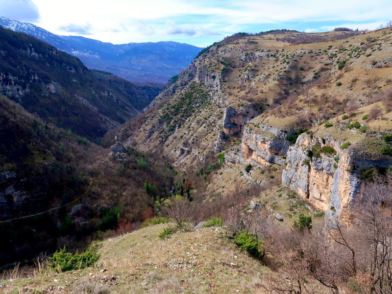
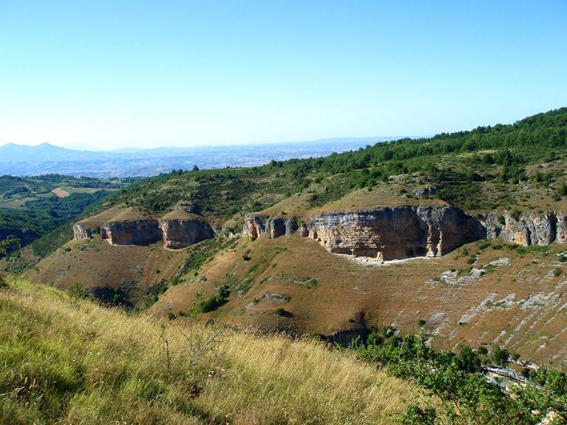
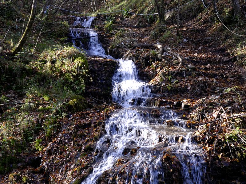
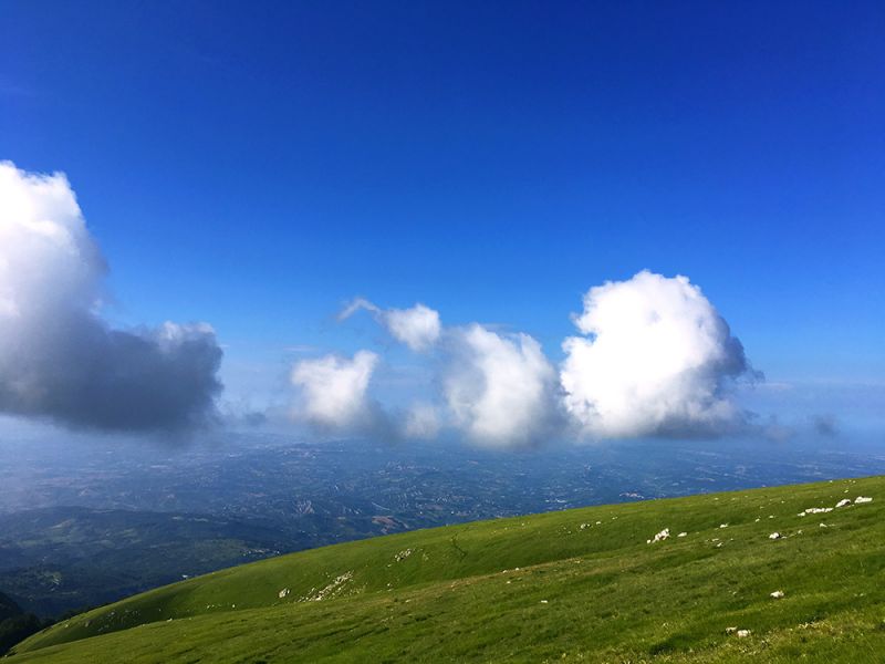
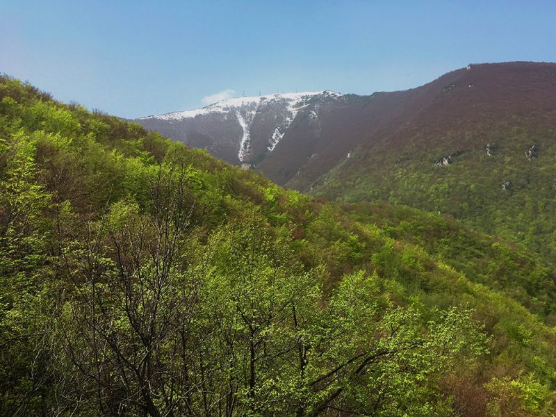
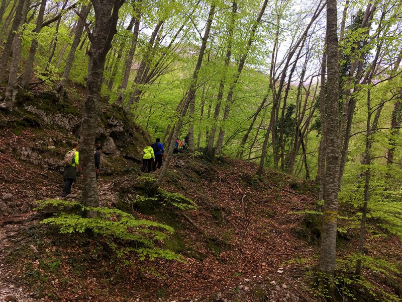
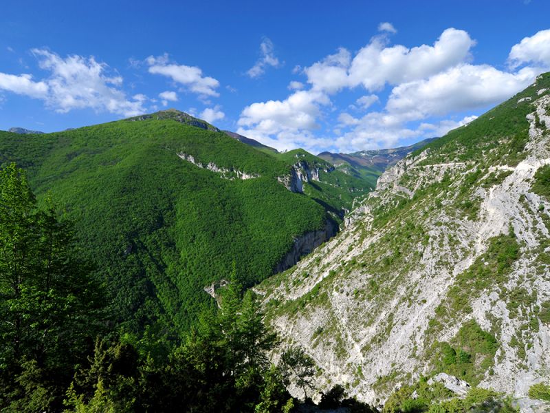
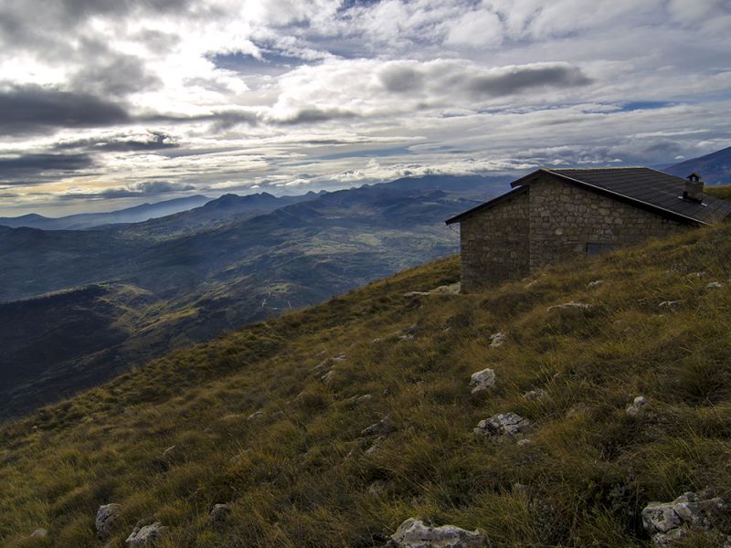
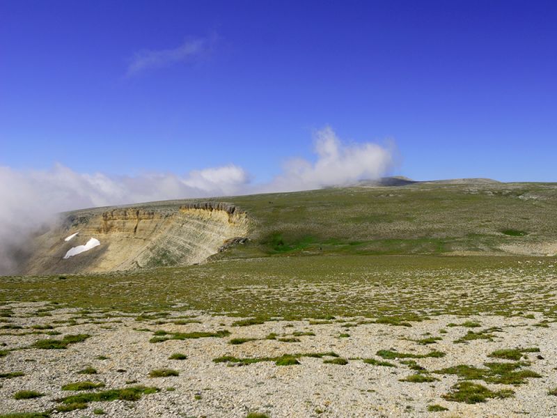
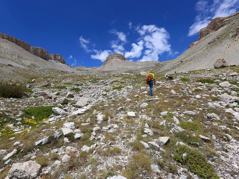
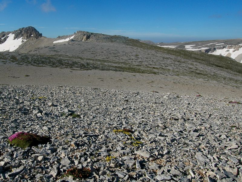
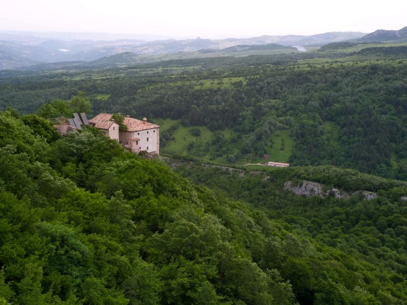
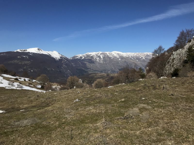
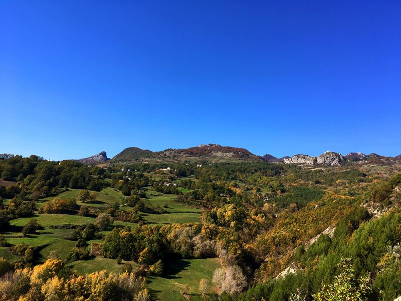
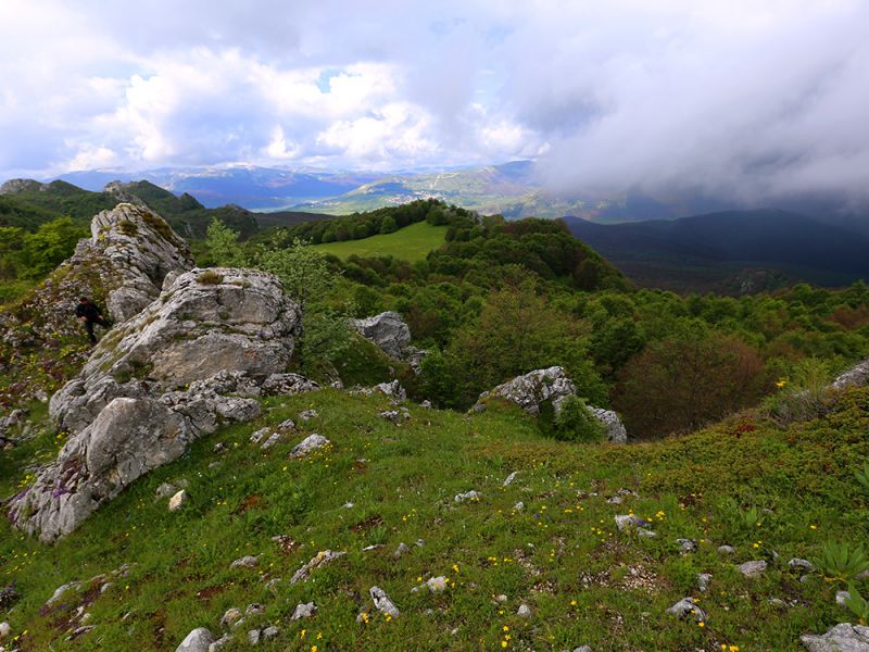
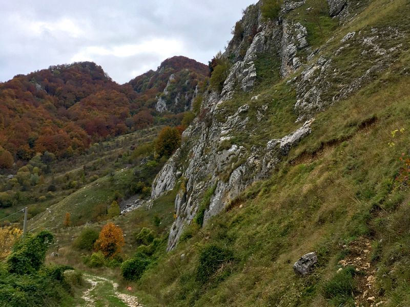
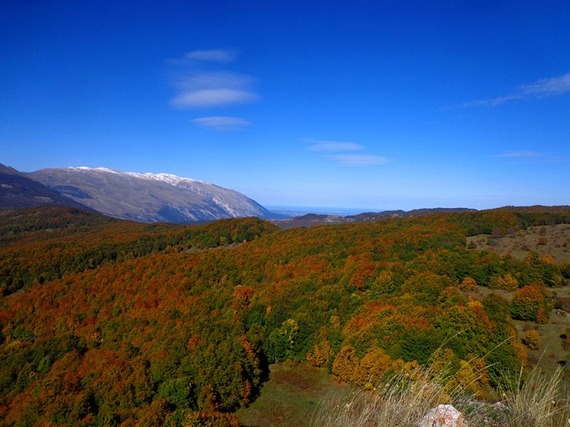
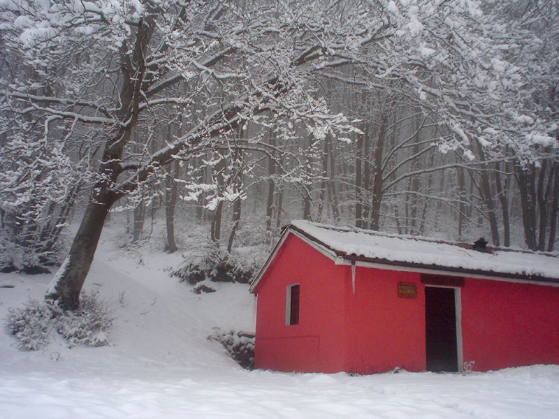
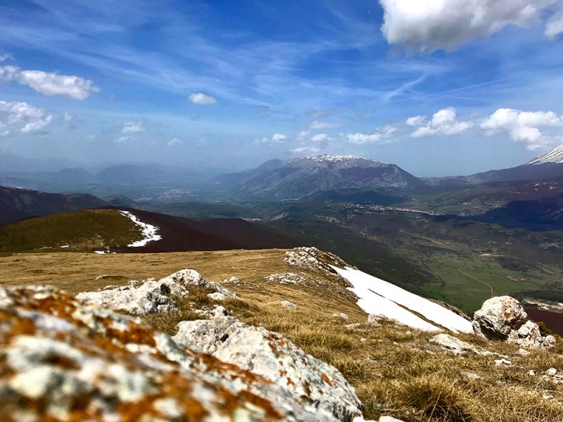
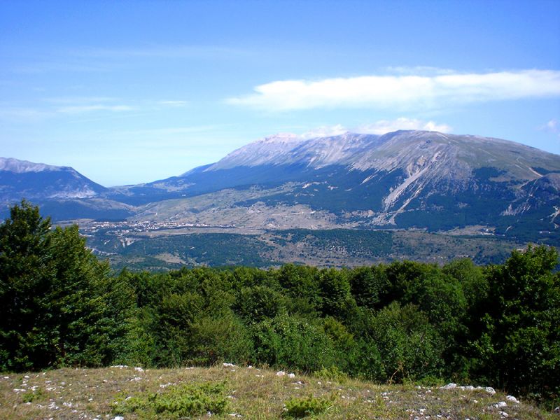
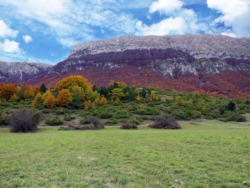
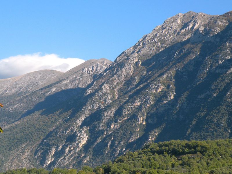
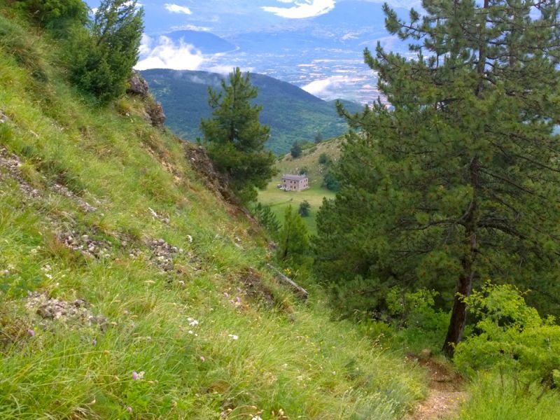
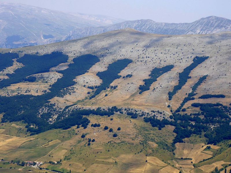
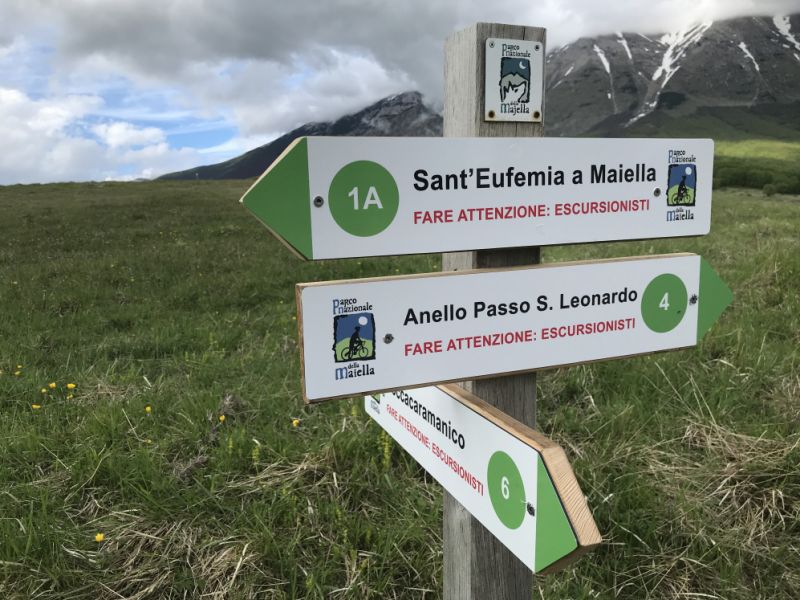
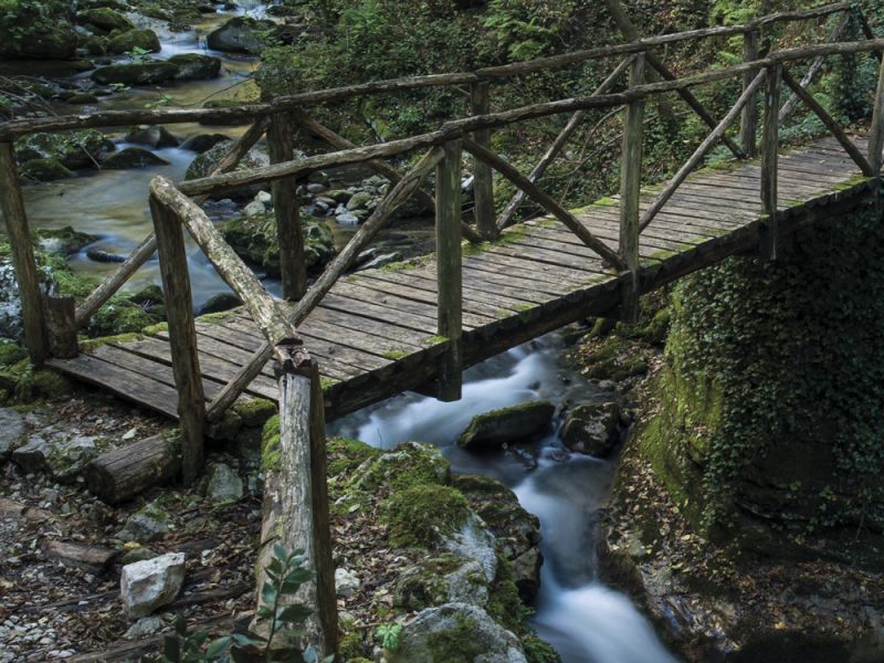
The tourist use of the territory of the Majella National Park is ensured by a wide network of paths and routes which, rigorously verified and traced with gps, since 2010, by the staff of the Authority, are developed for over 1200 km, including paths hiking trails, for families, for the disabled, bridleways, mountain bike trails and cross-country hiking trails.
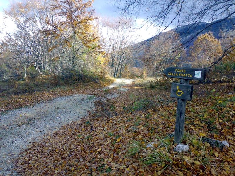
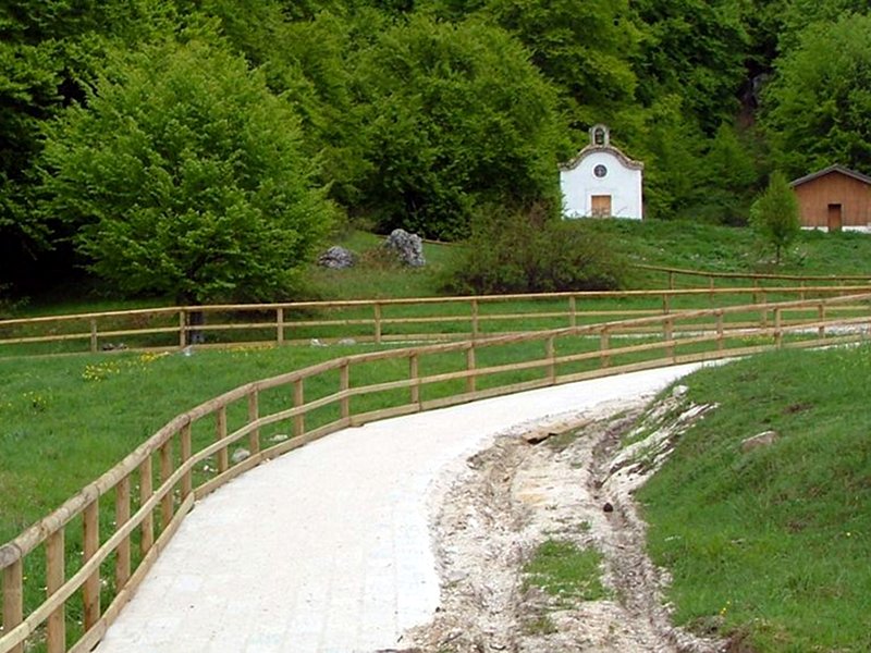
Trails for Families

Thematic Paths
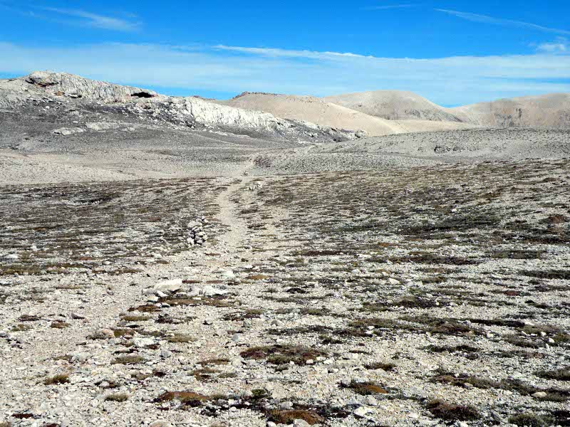
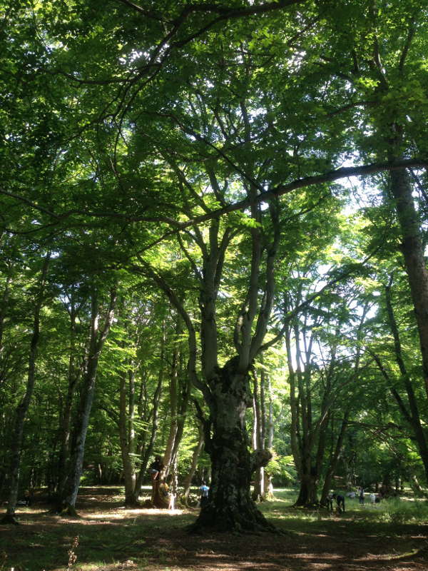
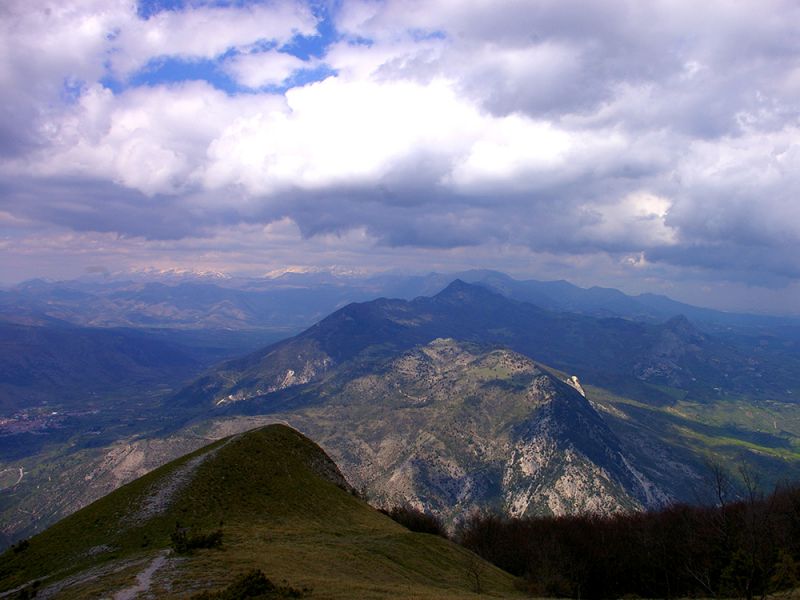
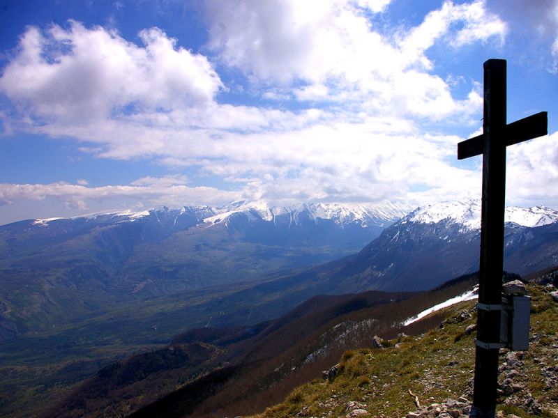
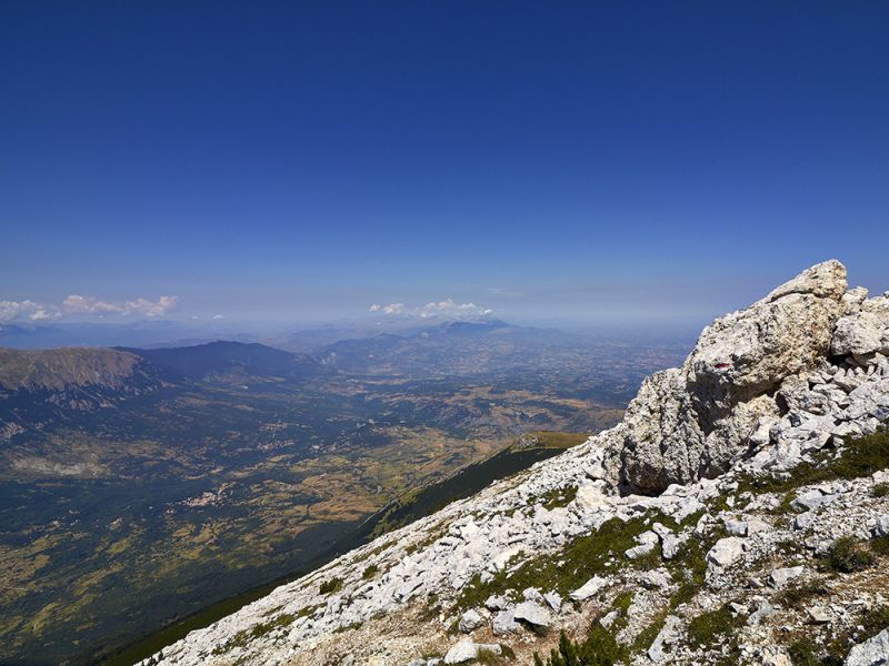
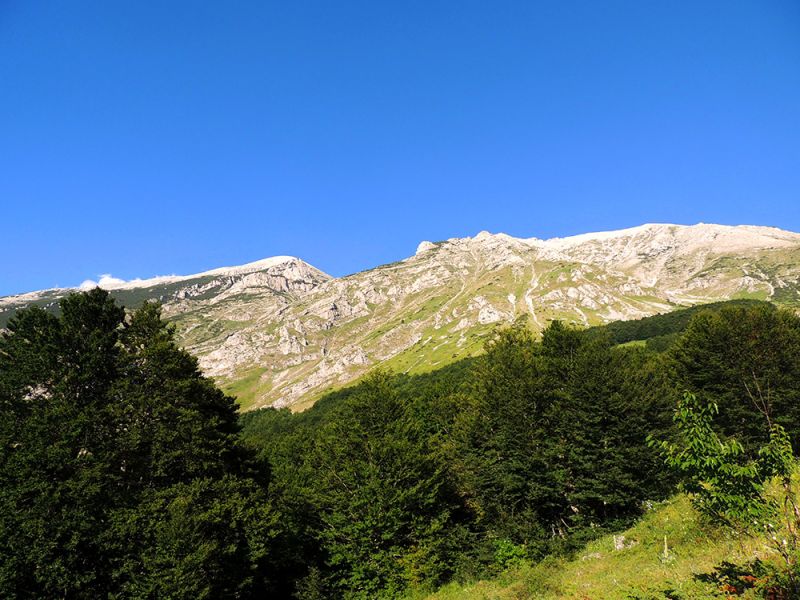
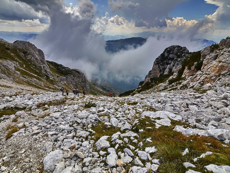
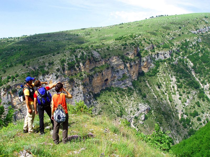
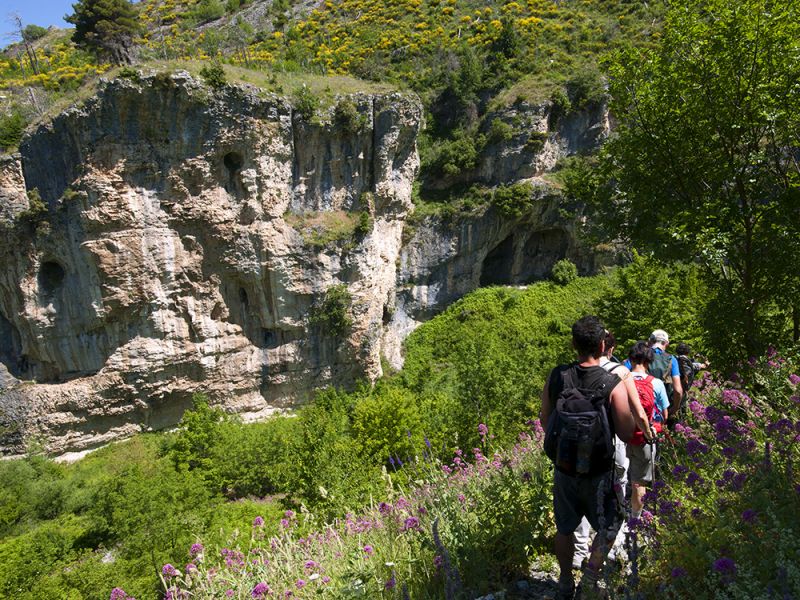
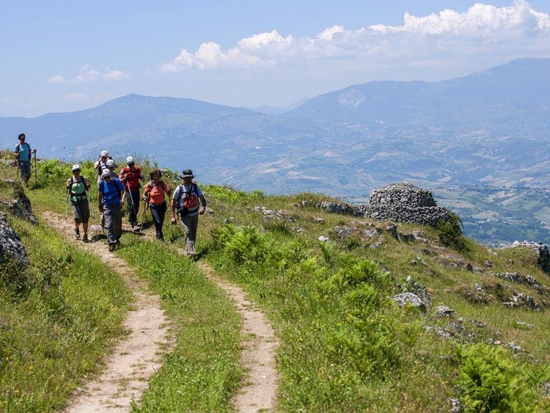
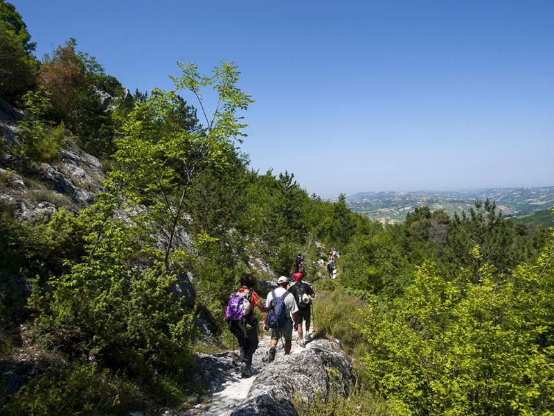
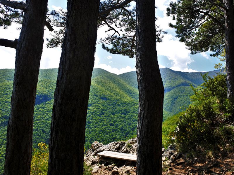
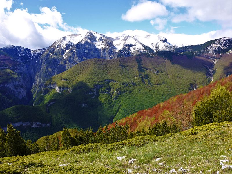
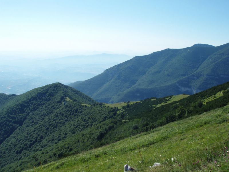
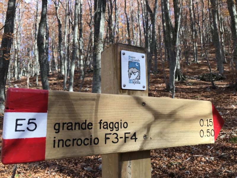
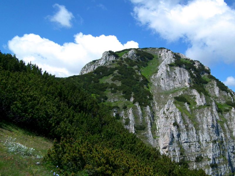
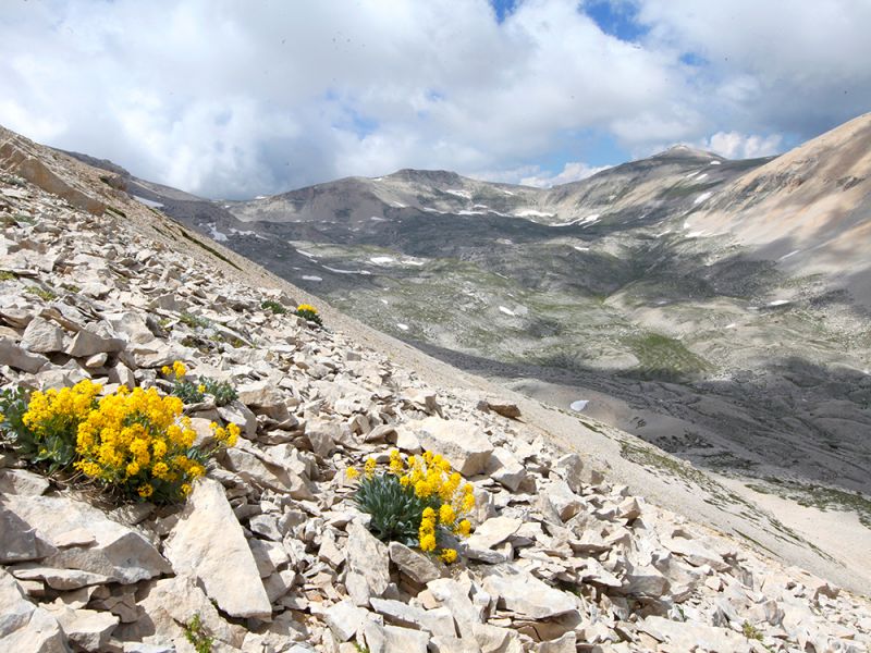
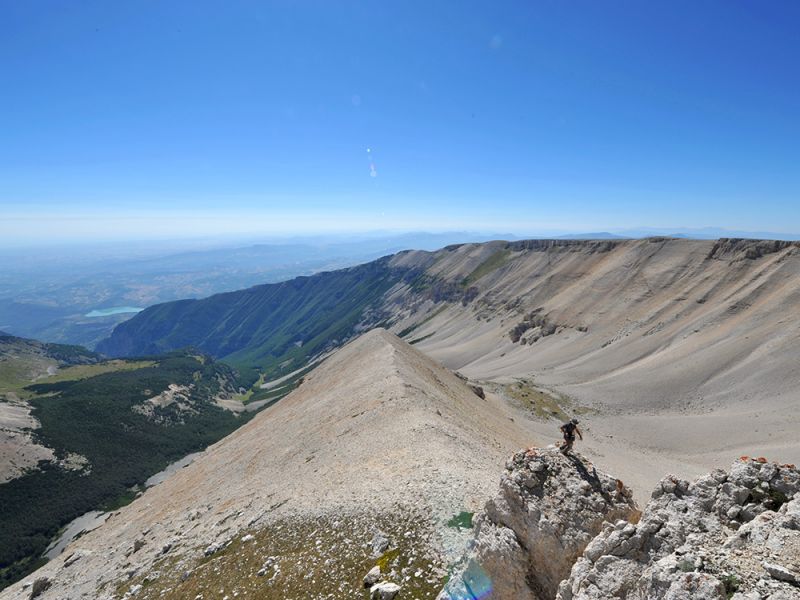
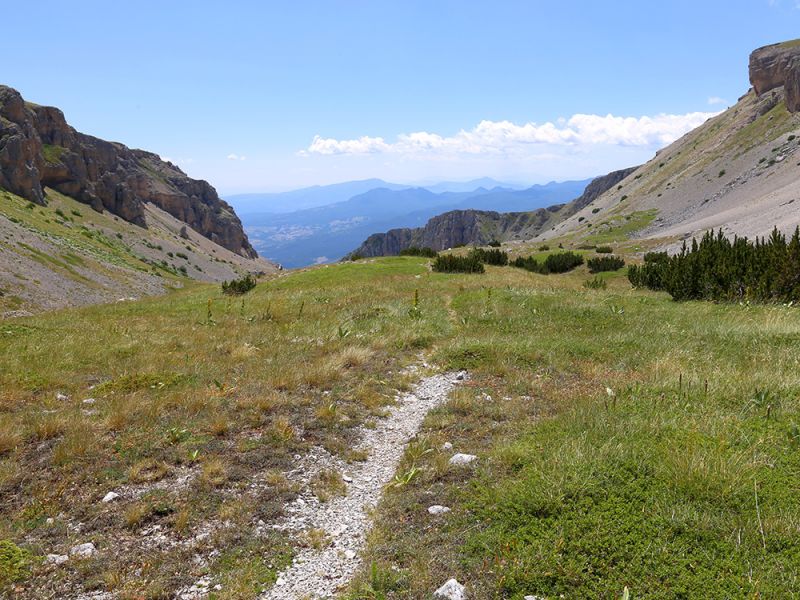
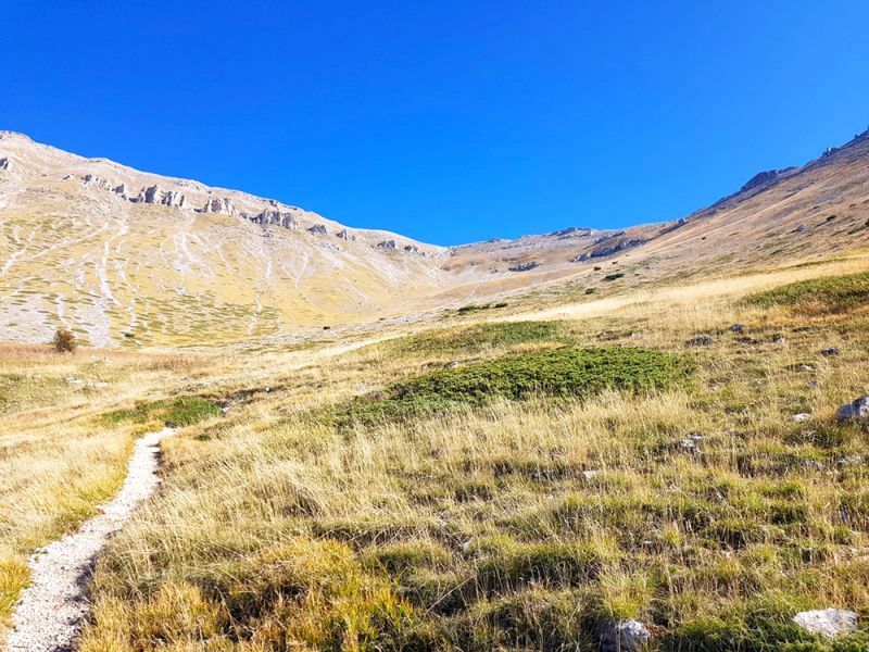
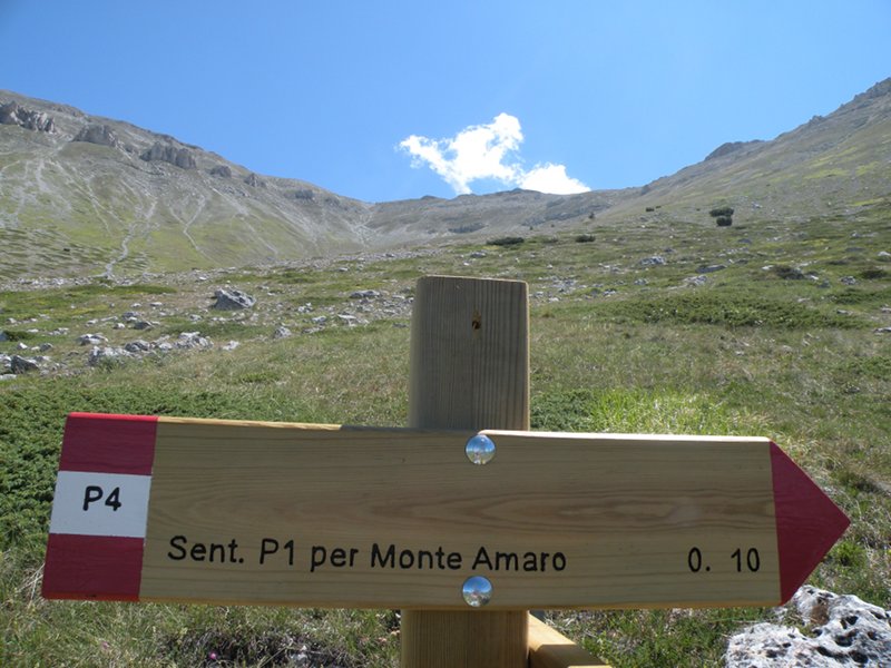
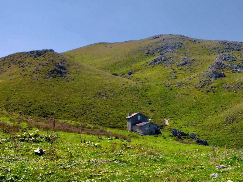
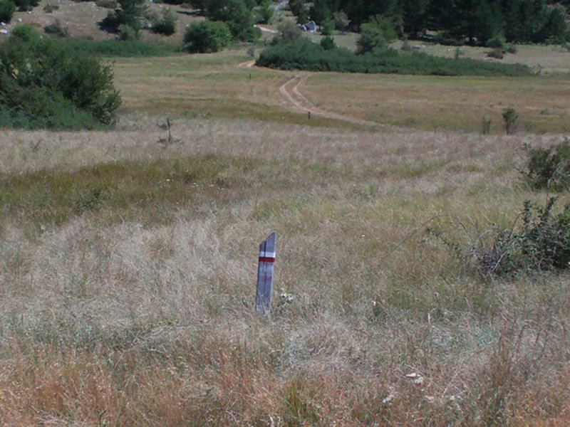
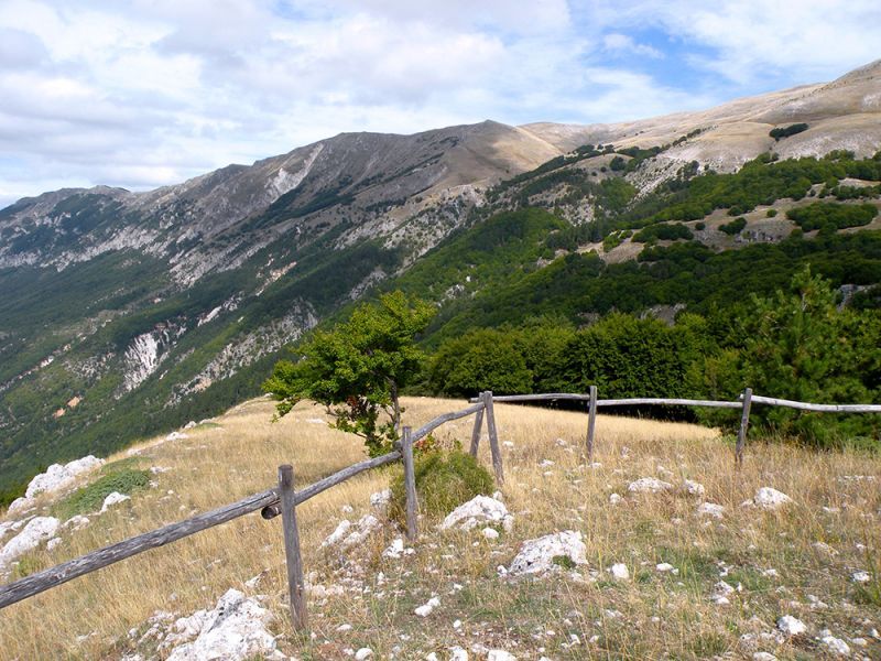
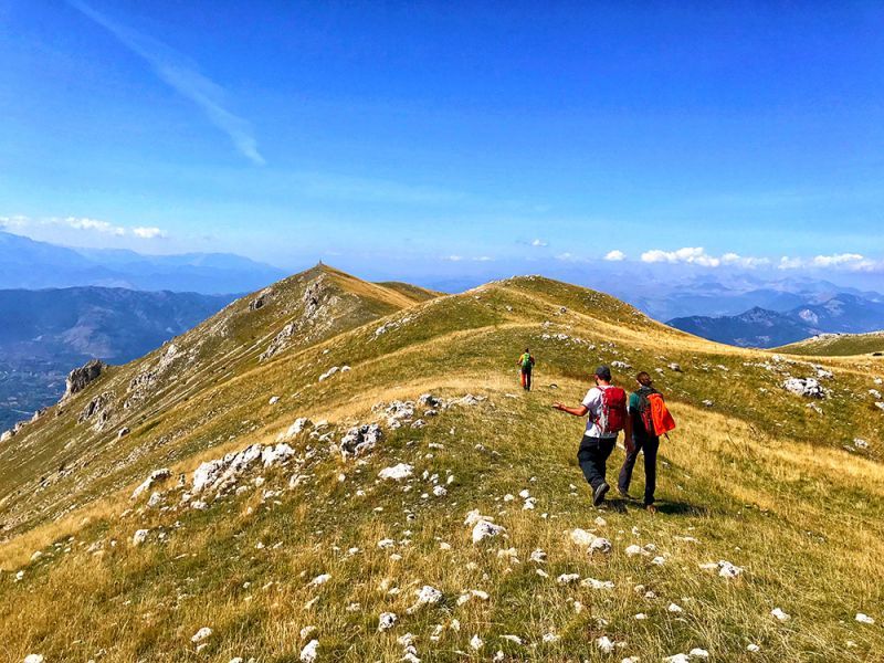
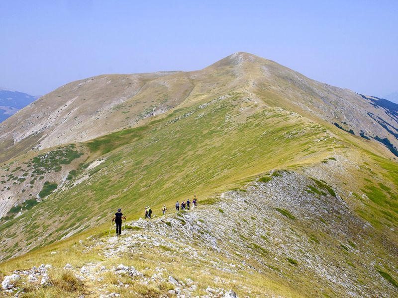
Hiking trails
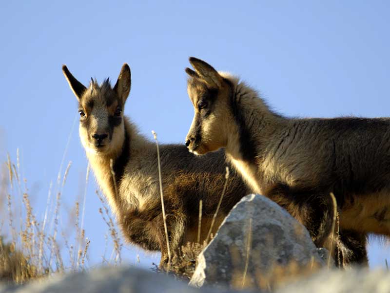
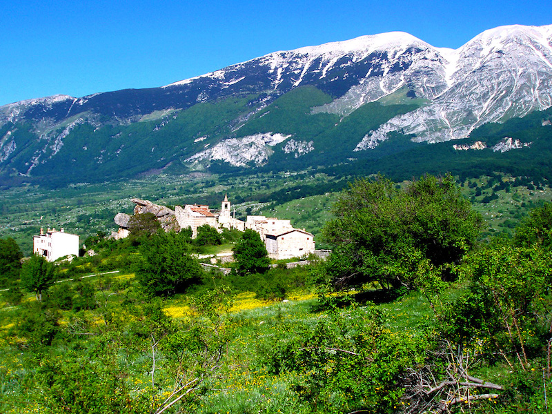
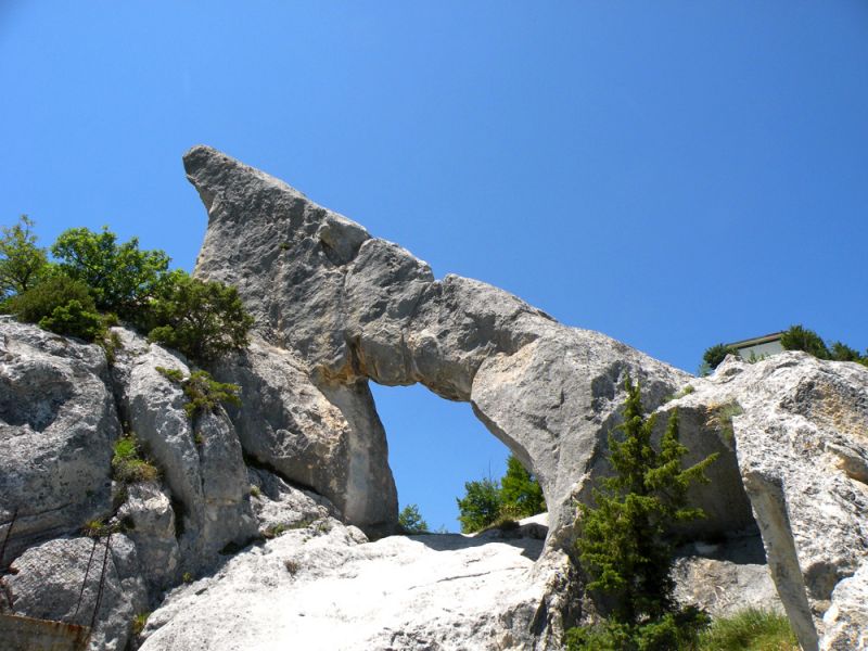
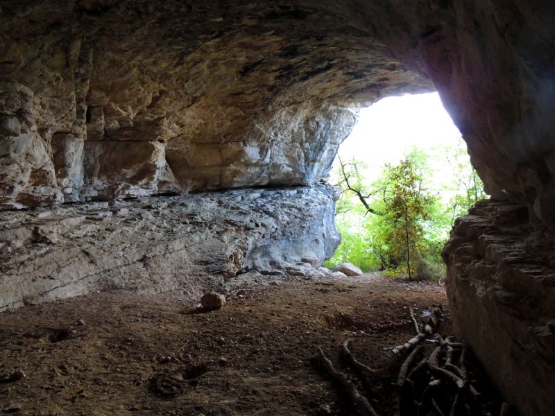
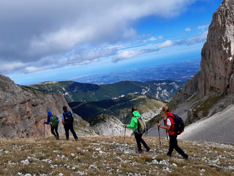
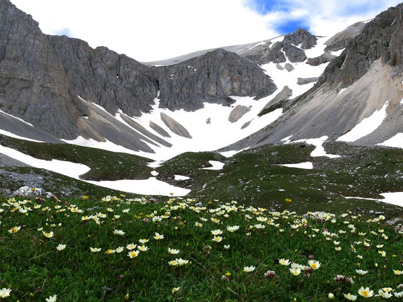
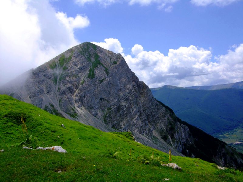
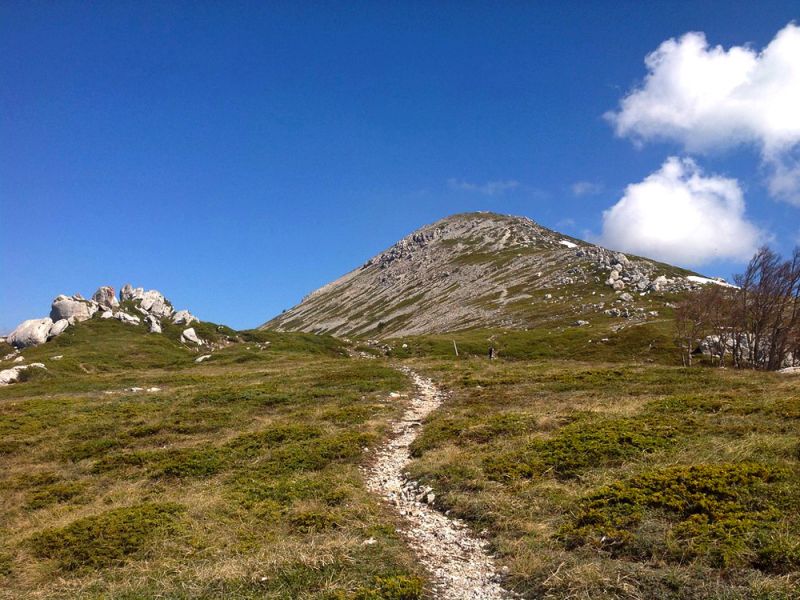
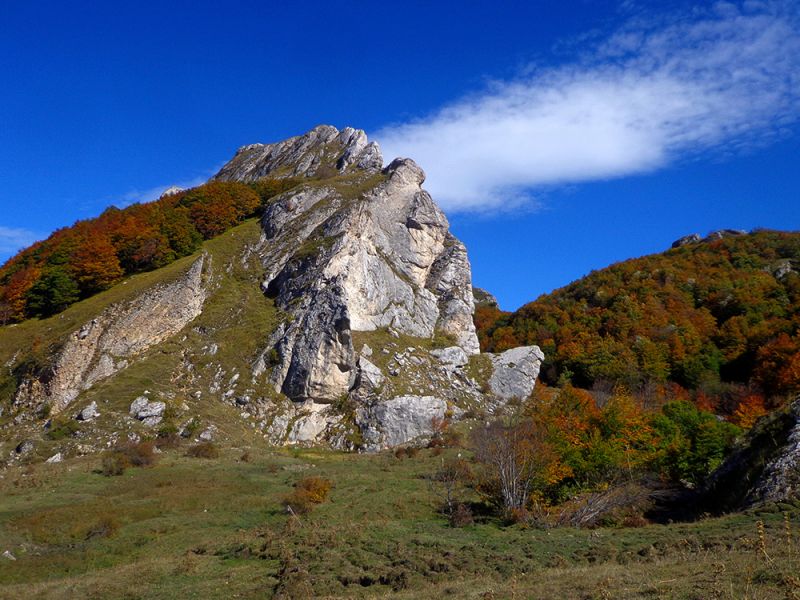
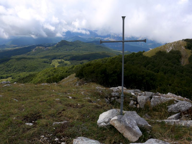
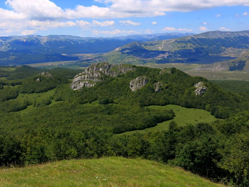
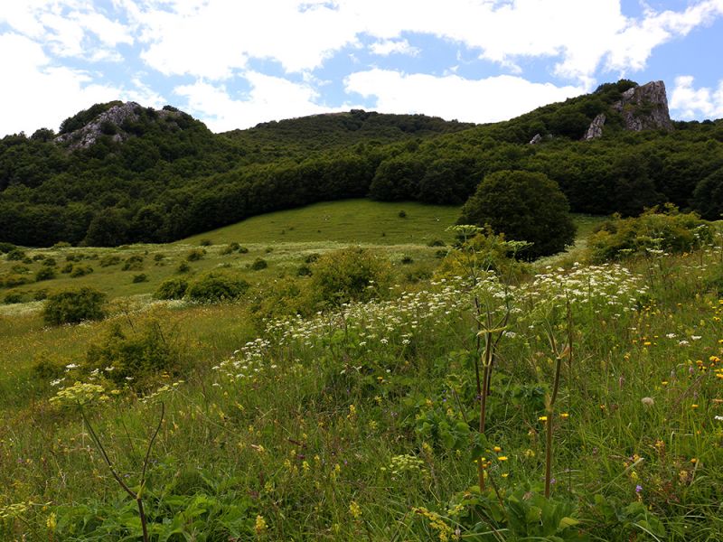
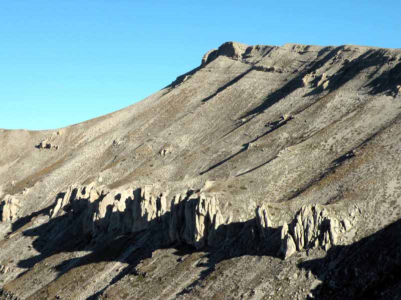
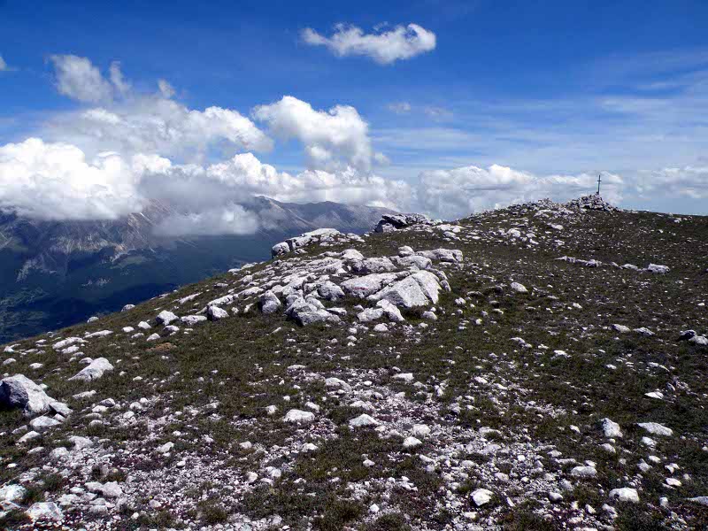
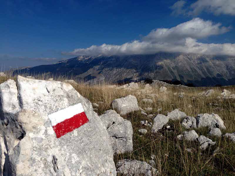
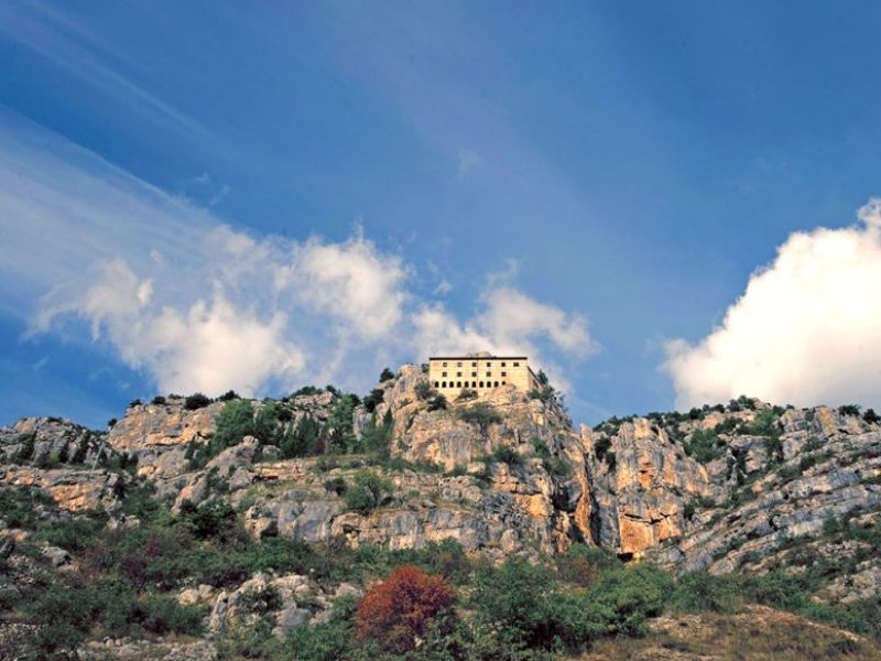
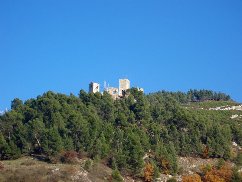
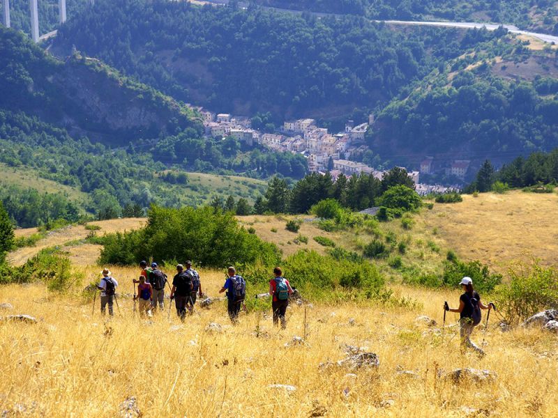
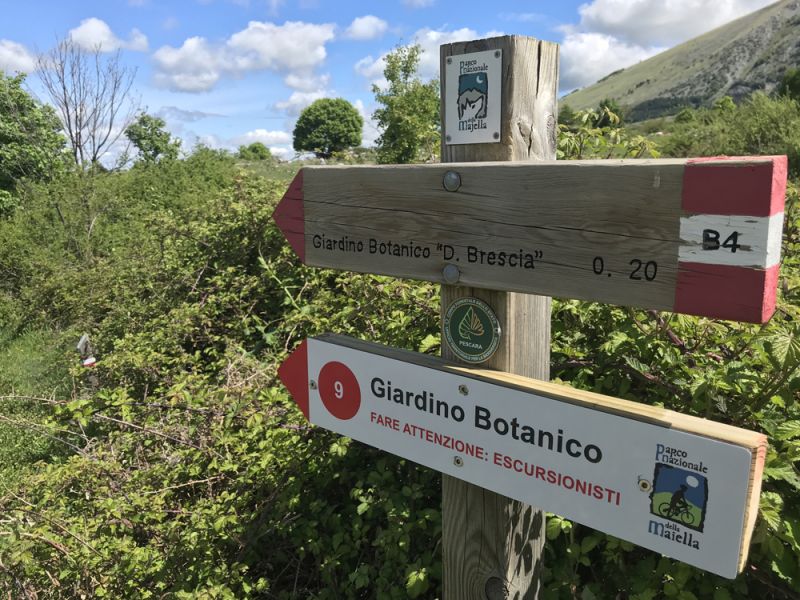
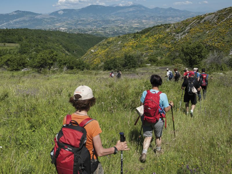
There are over 120 hiking trails in the Park area. All identified with white-red signs, from the lower valleys they reach the highest peaks of the Park's mountain groups, with various levels of difficulty.
with equipment
with equipment
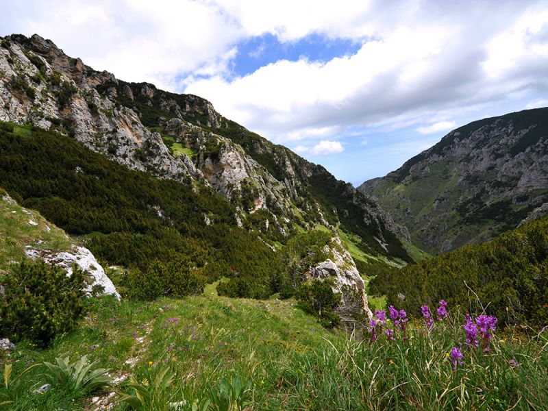
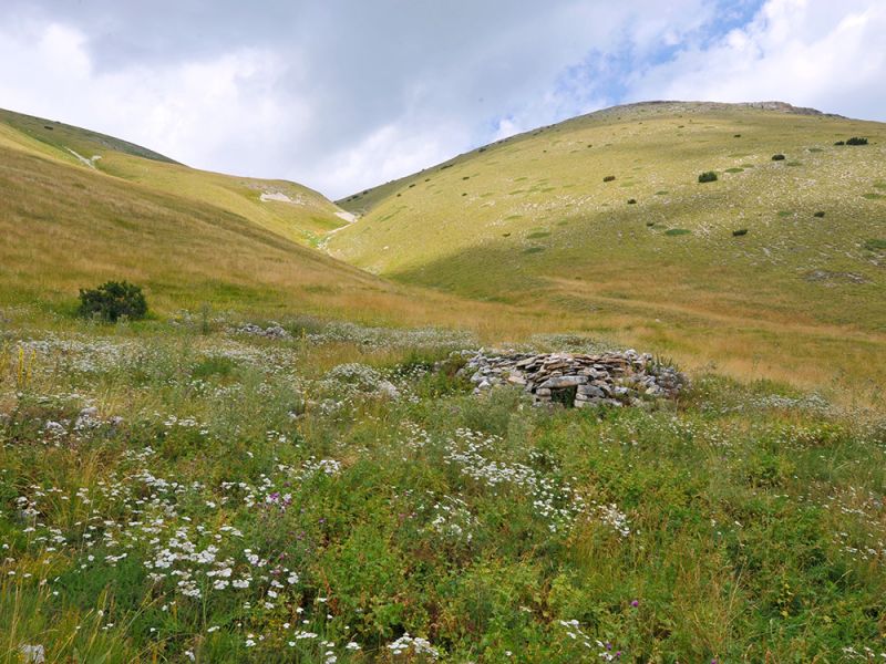
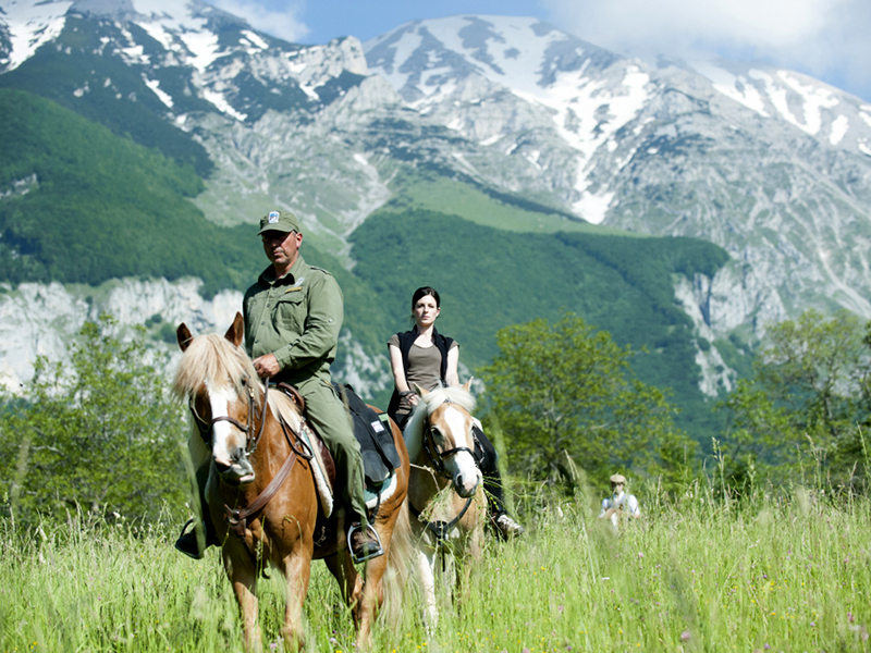
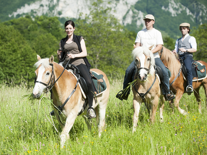
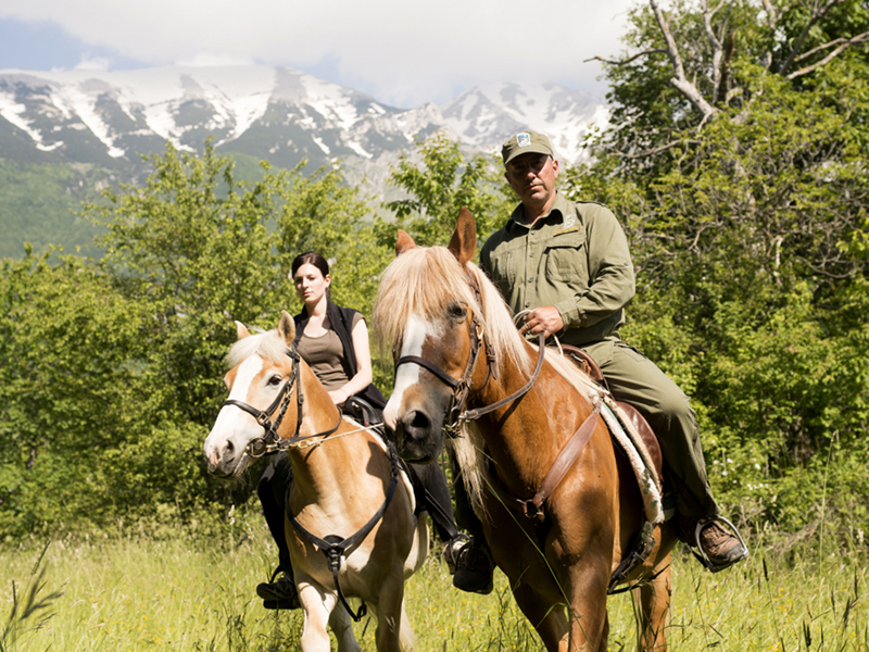
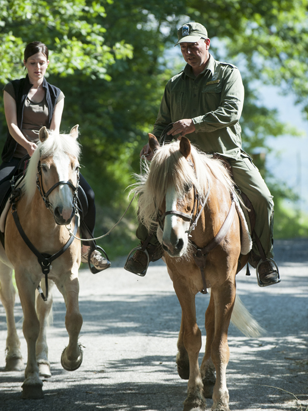
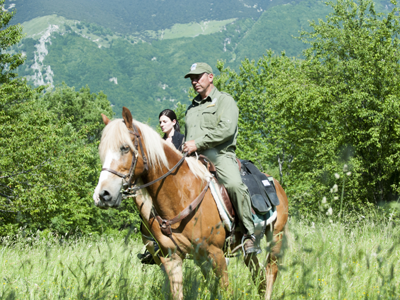
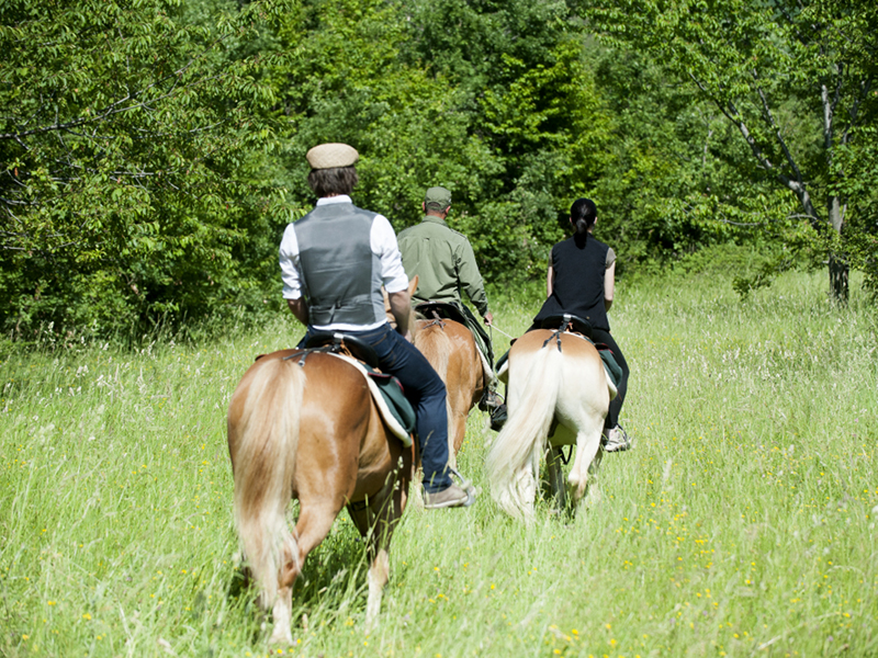
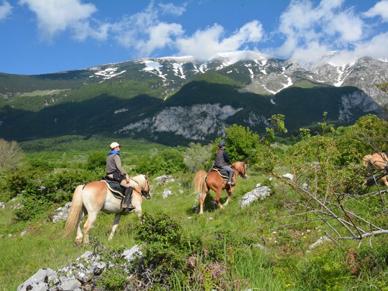
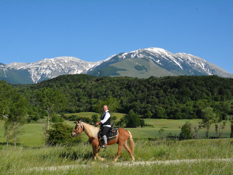
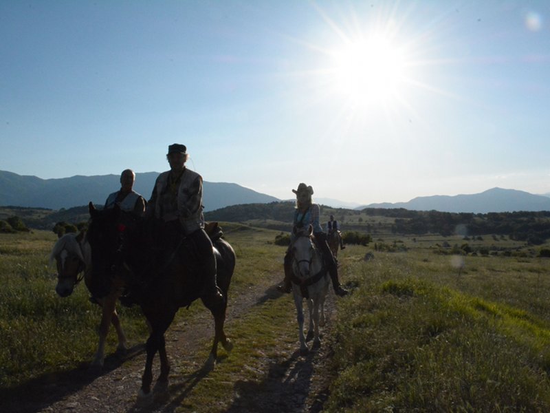
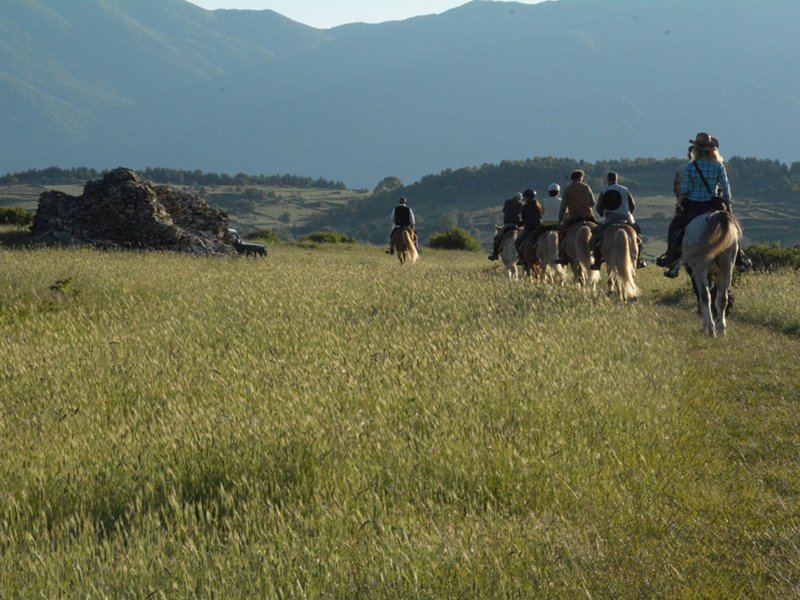
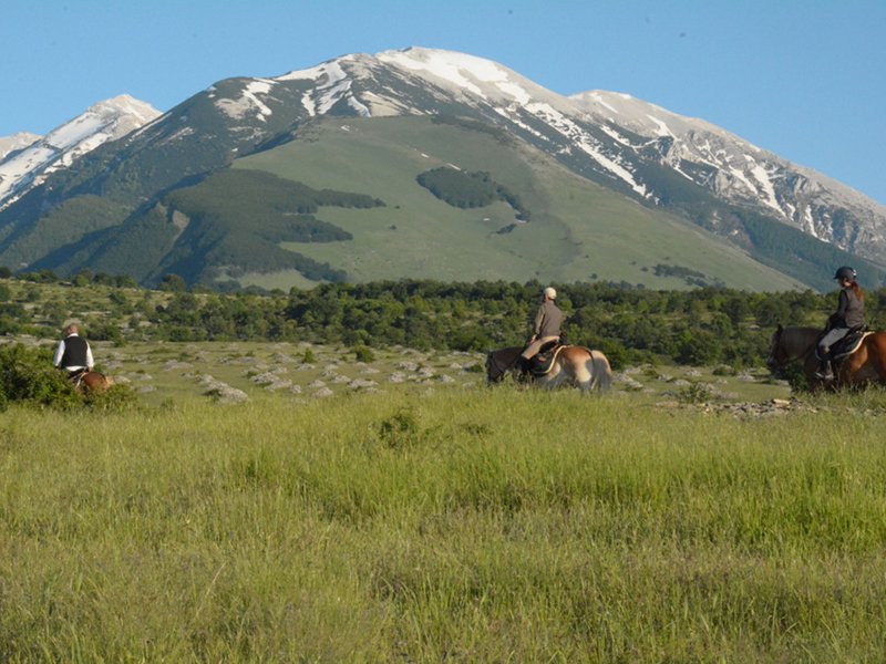
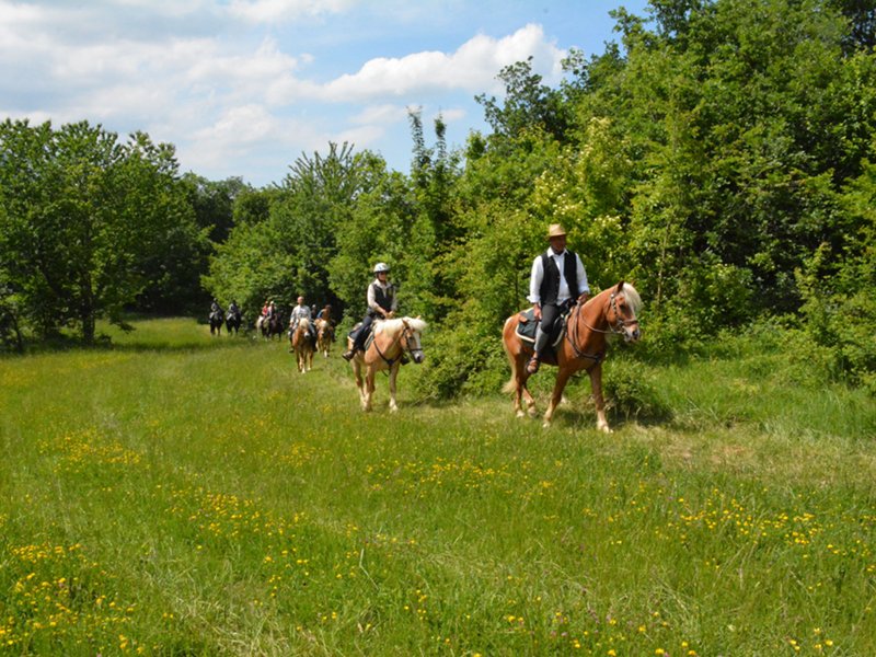
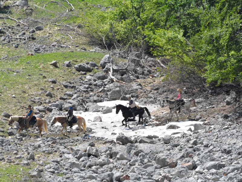
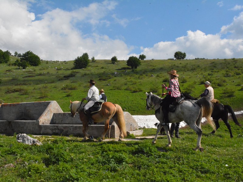
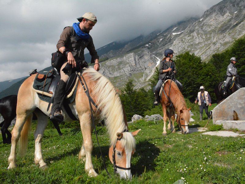
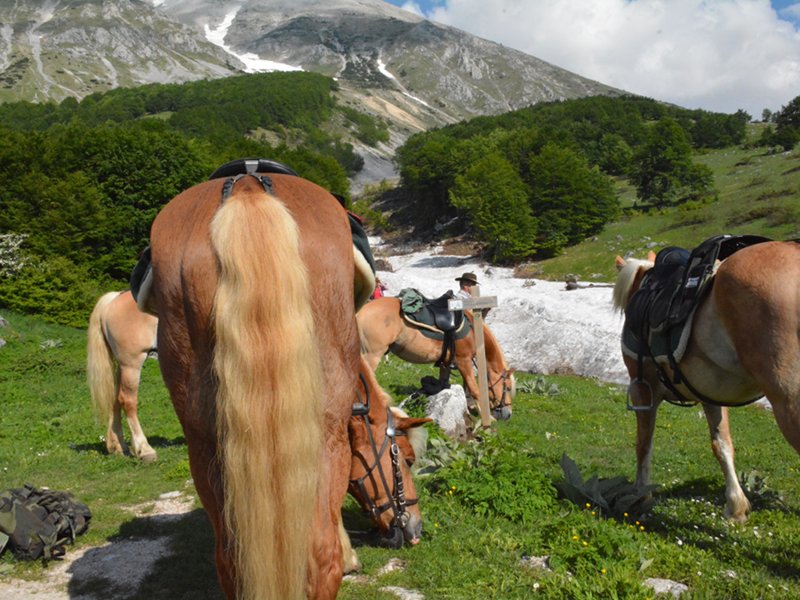
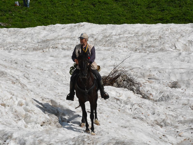
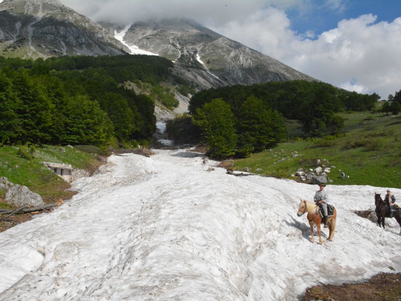
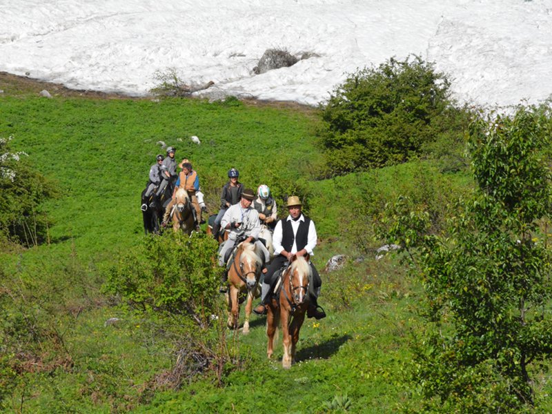
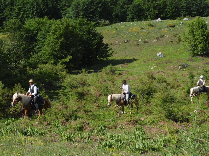
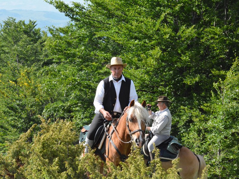
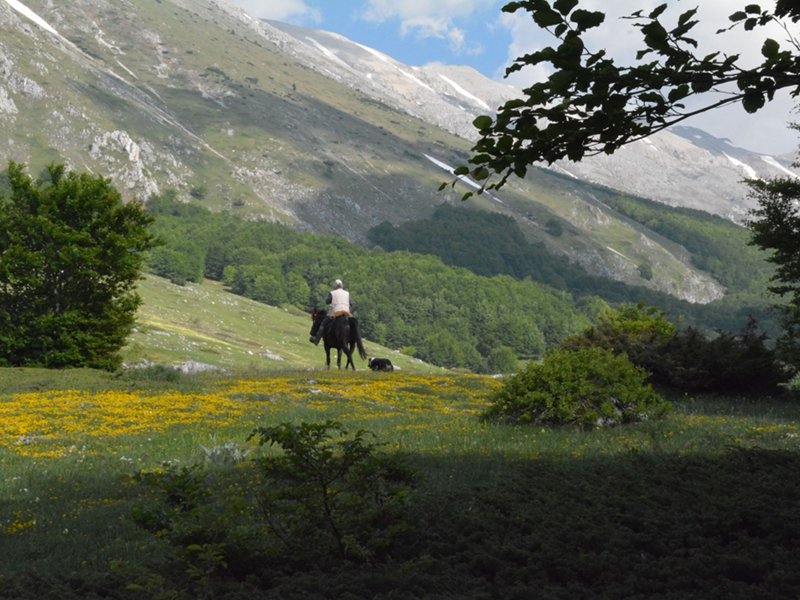
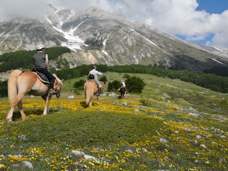
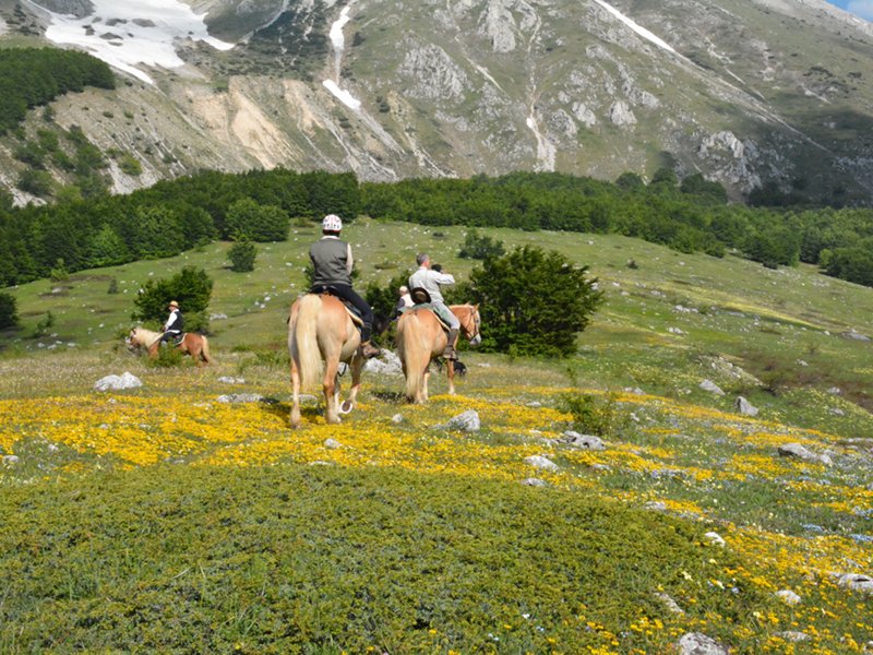
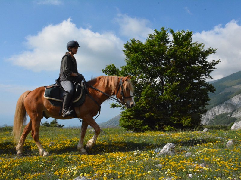
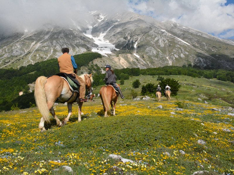
Bridle path
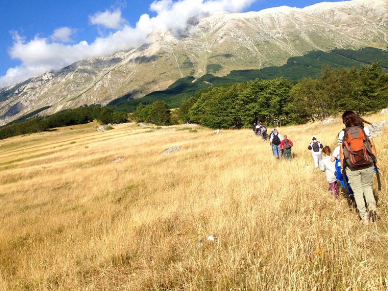
Horse riding is one of the best way to discover the landscapes and the atmosphere of Majella National Park. The itineraries are all conceived to visit the less known aspects of the Park, i.e. the transhumance civilisation, taking care of the protection both of the area and of the horsemen.

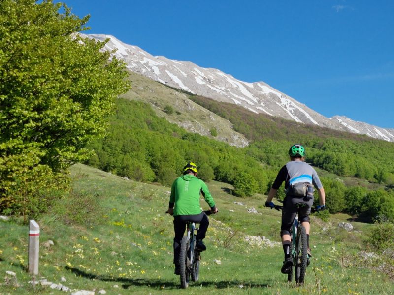
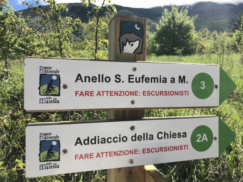
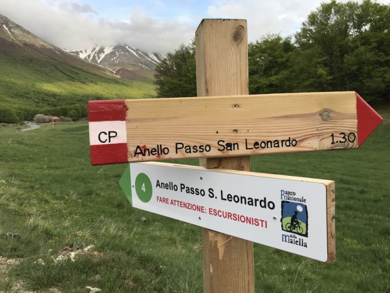
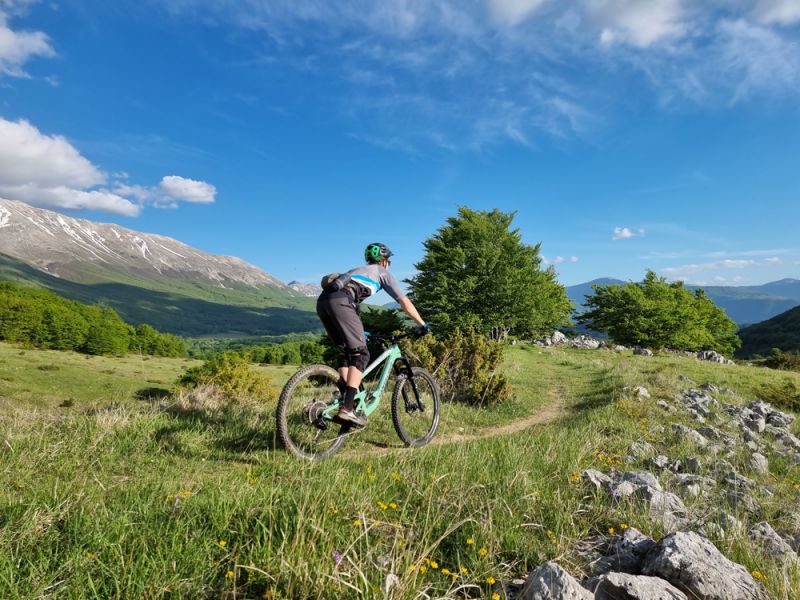
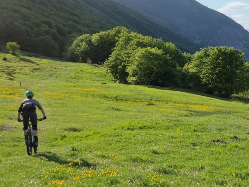
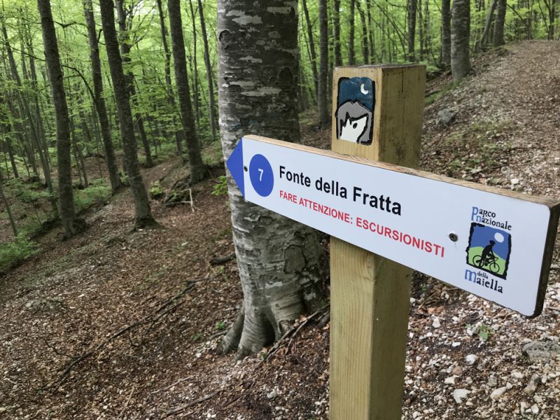
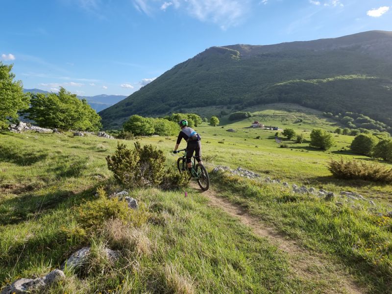
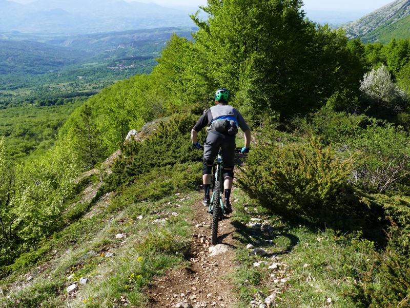
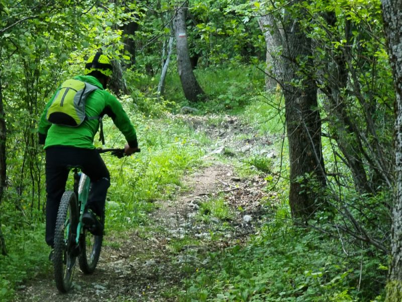
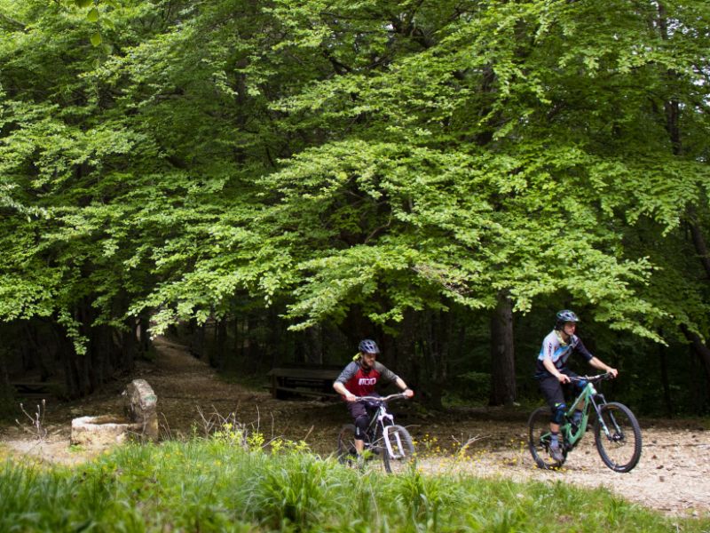
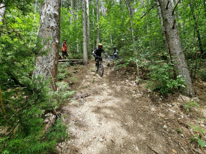
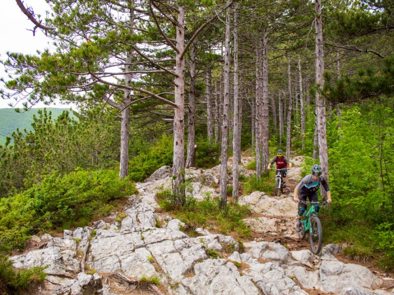
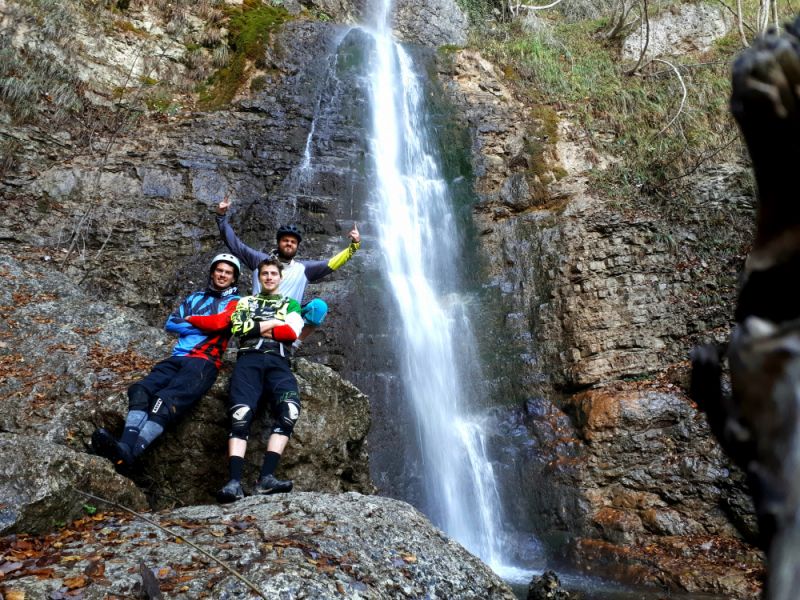
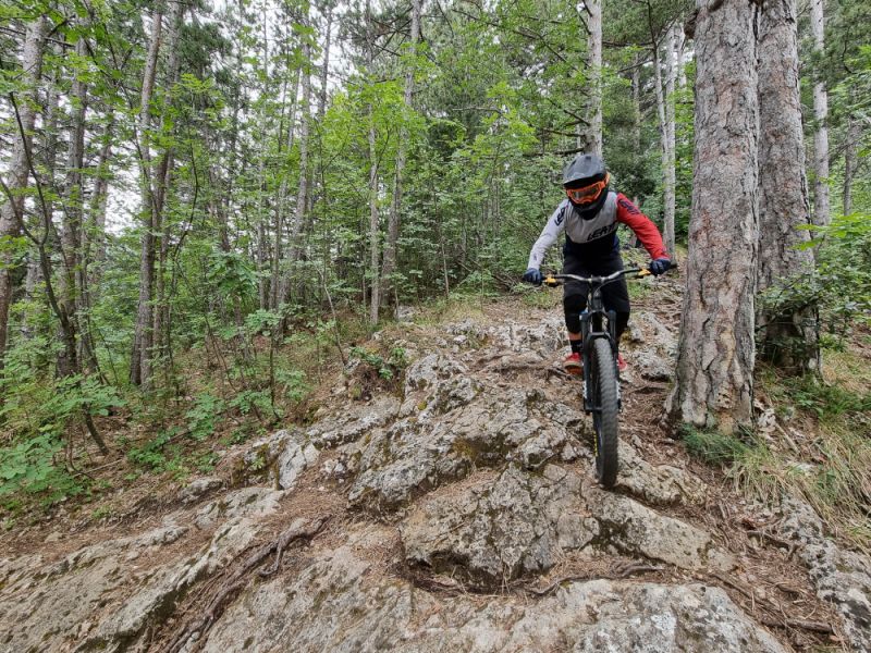
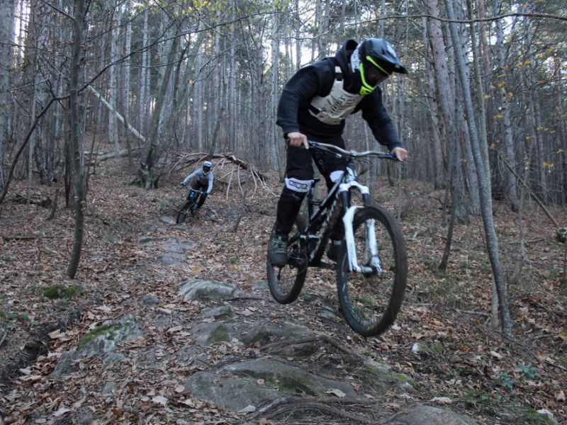
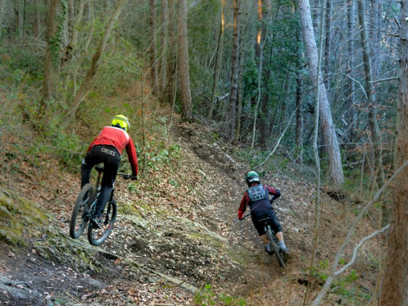
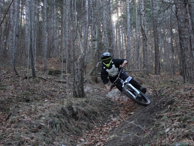
Mountain bike Itineraries
The Majella National Park is carrying out a review of the entire network of mountain bike itineraries. The planning of mountain bikes paths has also involved all existing bodies (Amateur Sports Associations) related to this activity, in a partnership between both the public and private sectors.
Further information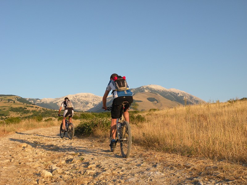

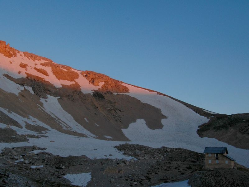
Sentiero Italia CAI
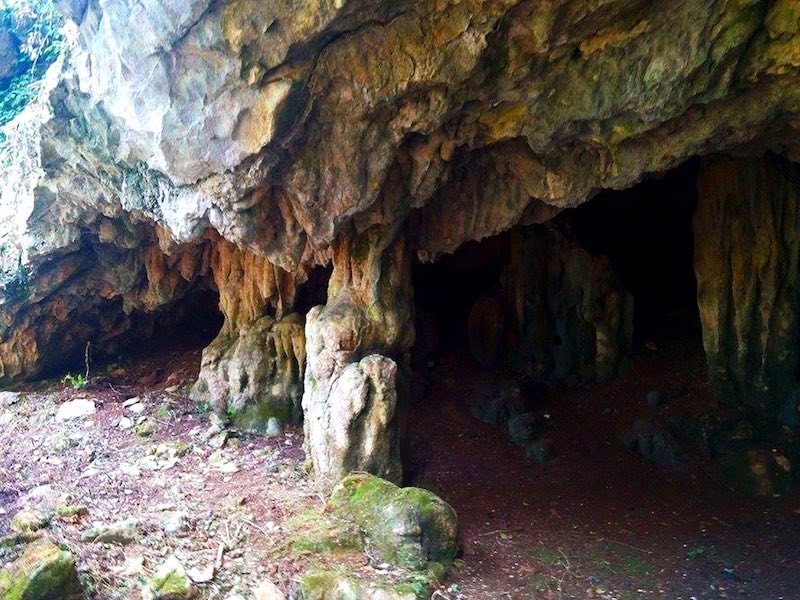
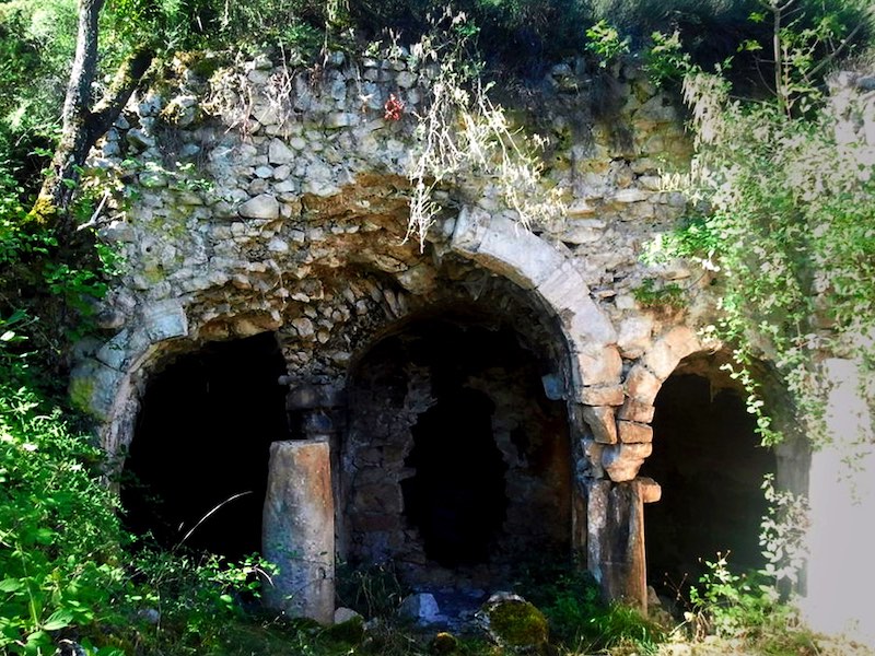
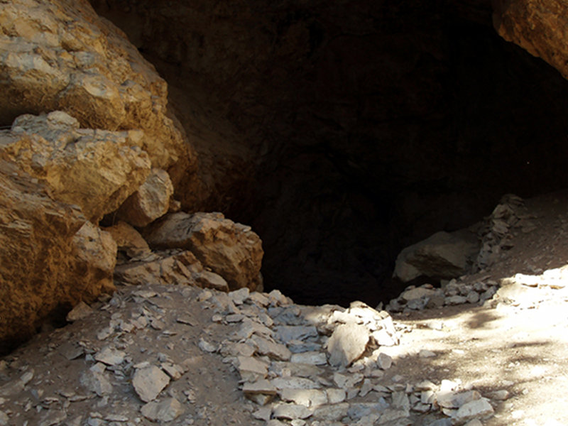
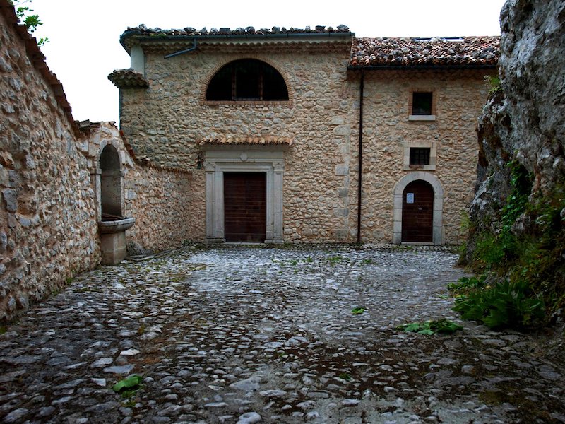
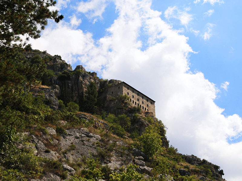
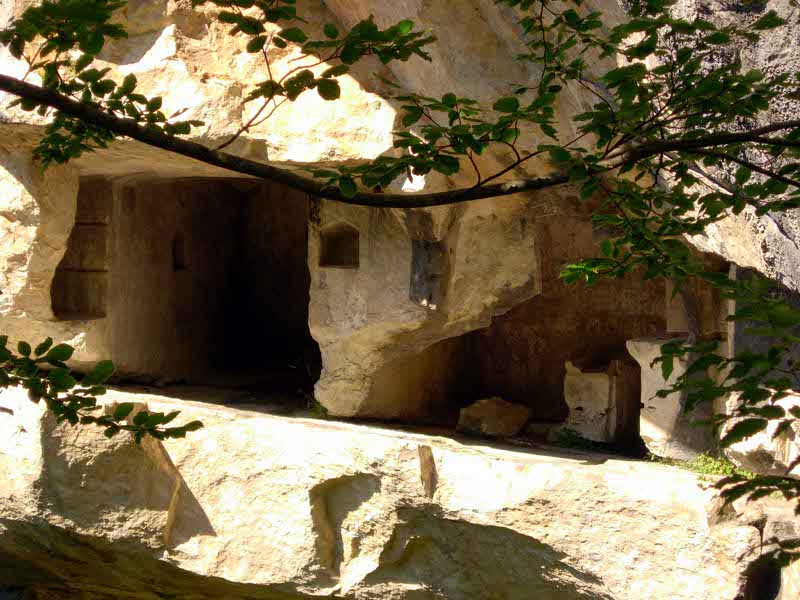
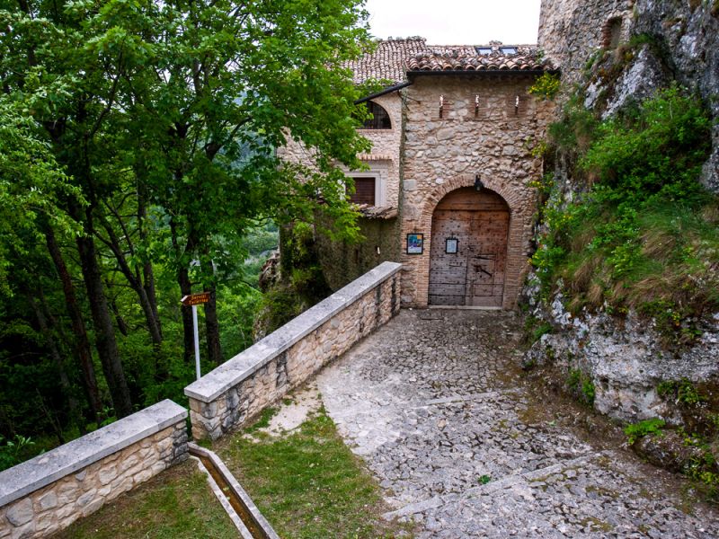
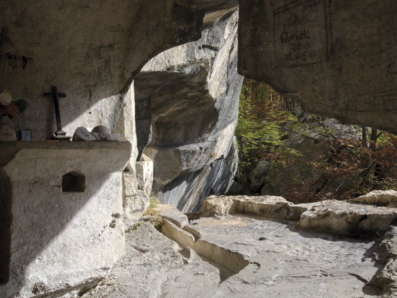
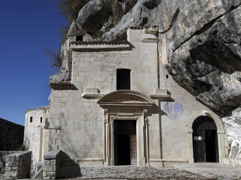
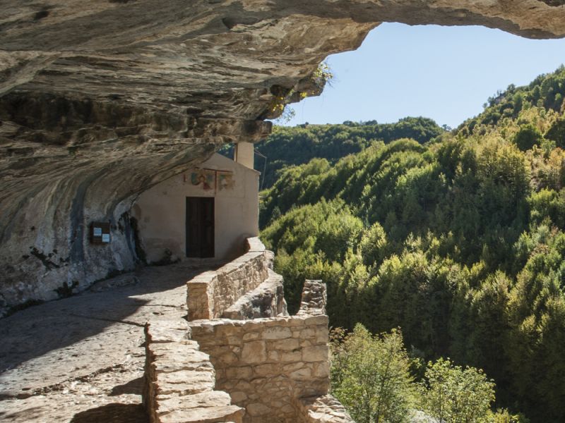
The Celestine Way
The great 6-day itinerary to discover the hermitages of Pope hermit
with equipment
4-Legged Paths
In the Majella National Park, as in all Italian national parks, dogs are not always allowed on the path network. Actually, in Zone A, you are not allowed to enter with your four-legged friends and, more generally, with all pets.
Pets may encounter wildlife which, even if not directly attacked by the animal, may suffer great stress; the mere presence of your friend would actually alarm the wild animals.
In any case, you can enter the part of the path network not included in Zone A of the Majella National Park with your four-legged friends.


