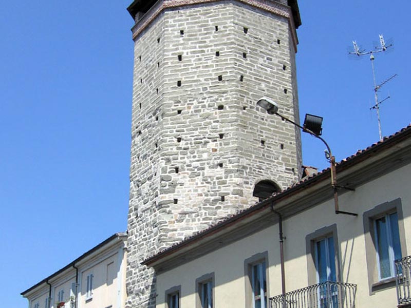
Itineraries
On Foot, by Canoe, by Bike, on Horseback, by Boat, by Car: Many Ways to Discover a Territory
In these pages you will find advice and information to create new itineraries to discover the Po River Park and its territory, grouped according to the kind of activity. Moreover, if you would like to spend some time in our territory or have a meal in one of the many local restaurants, discovering the many cooking specialties and the local products, you can have a look at our lists in the page Where to Sleep.
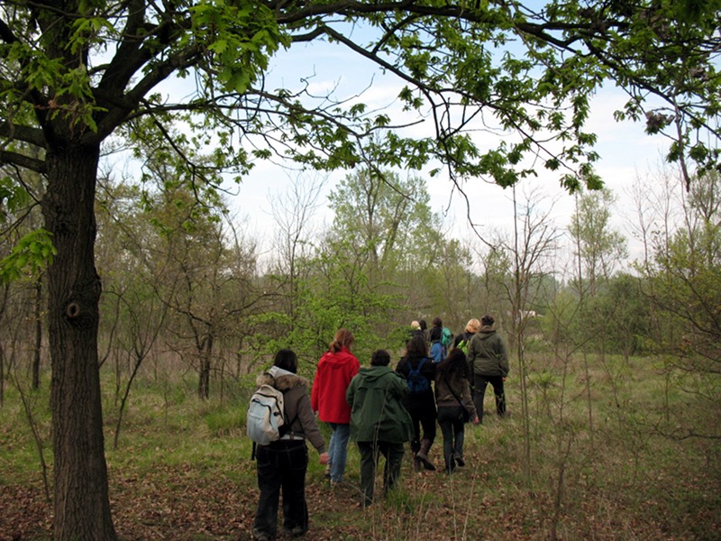
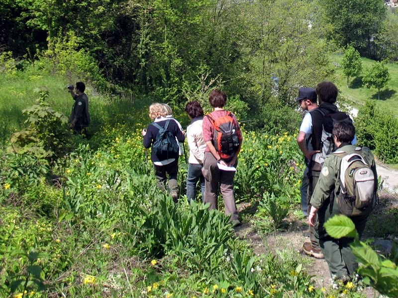
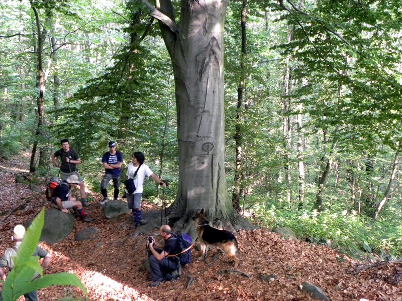
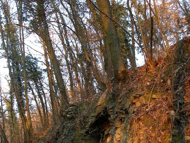
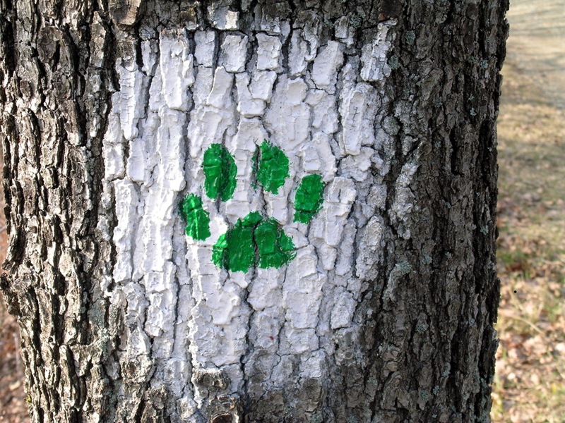
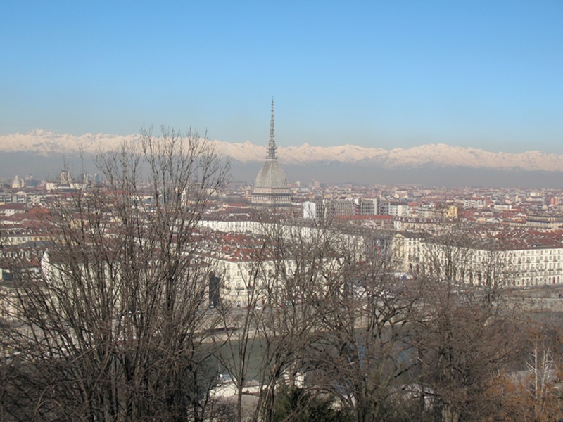
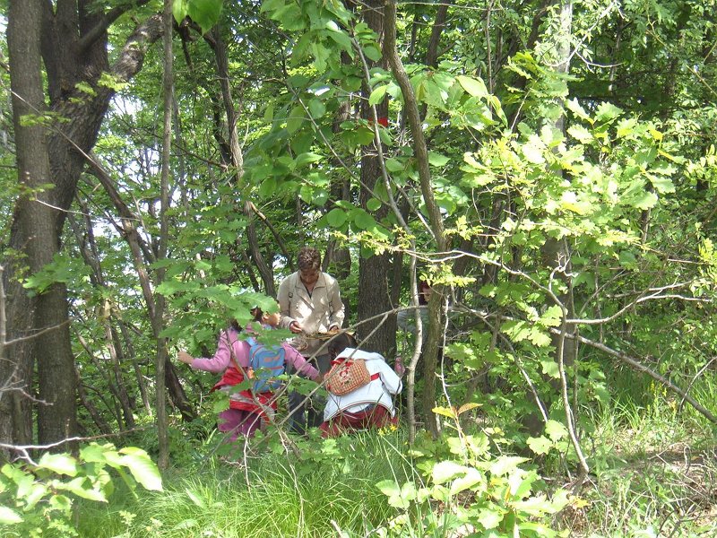
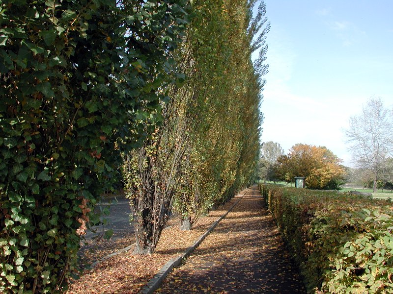
Itineraries on Foot
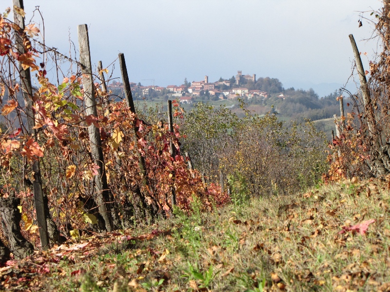
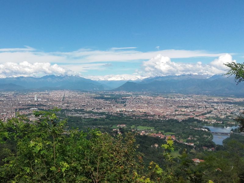
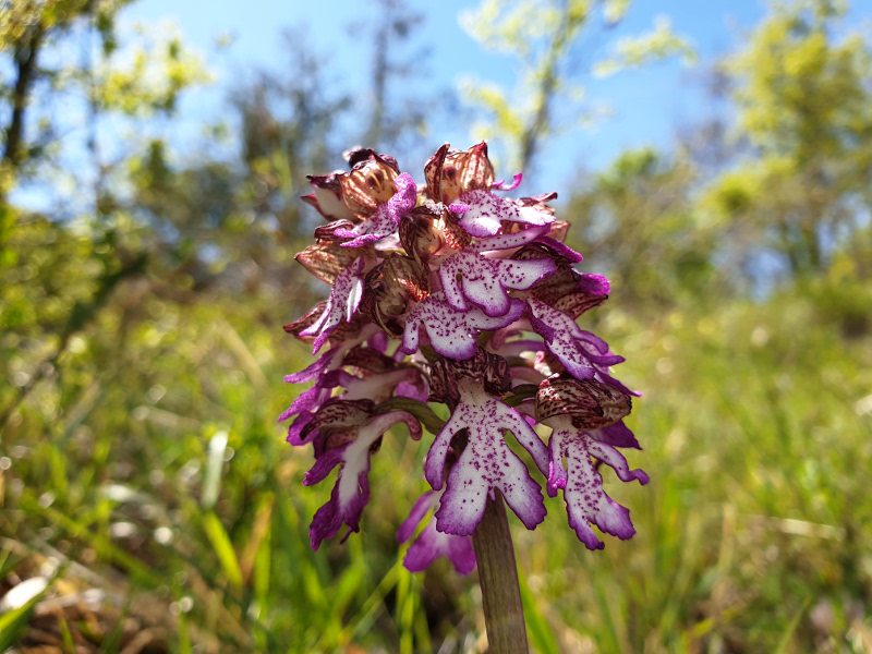
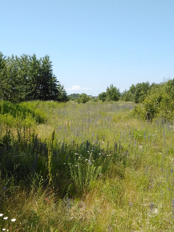
Po and Collina Torinese Park and its tourist area "Collina Po" offer several itineraries on foot, from the riparian areas of the plain, with wild oxbows, plain woods, cultivated fields or urban parks, up to more demanding itineraries developing among the woods of the hills.
In these pages, you will find 19 hiking proposals and 2 proposals for a trekking lasting more days.
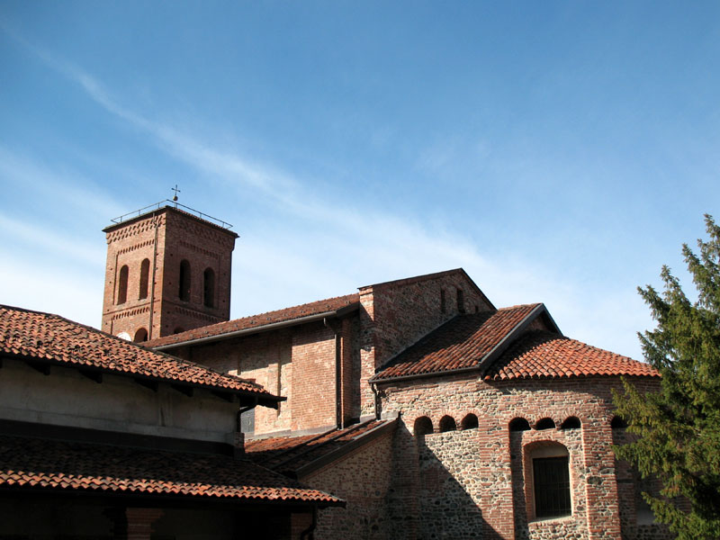
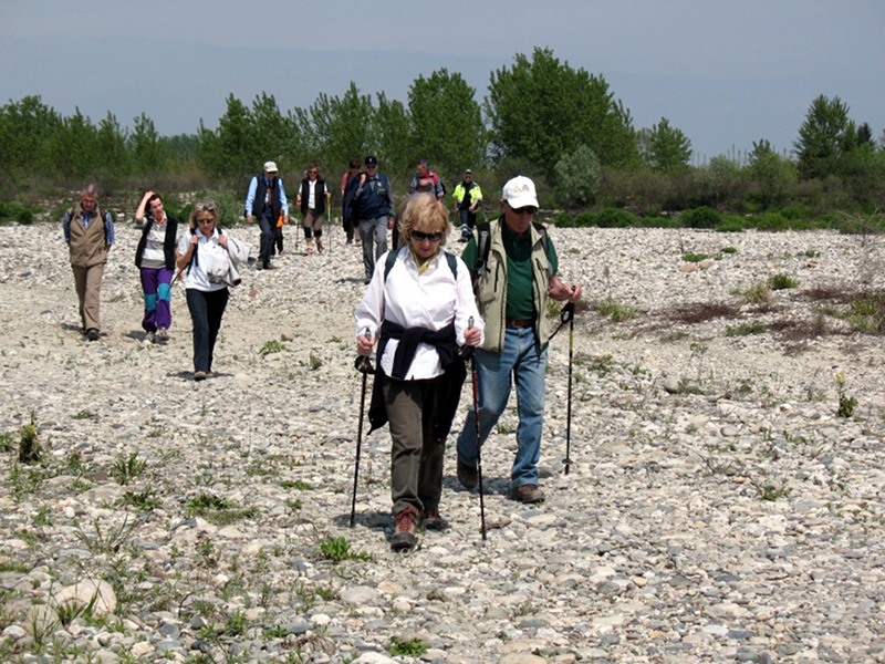

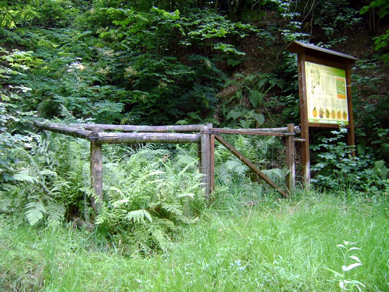
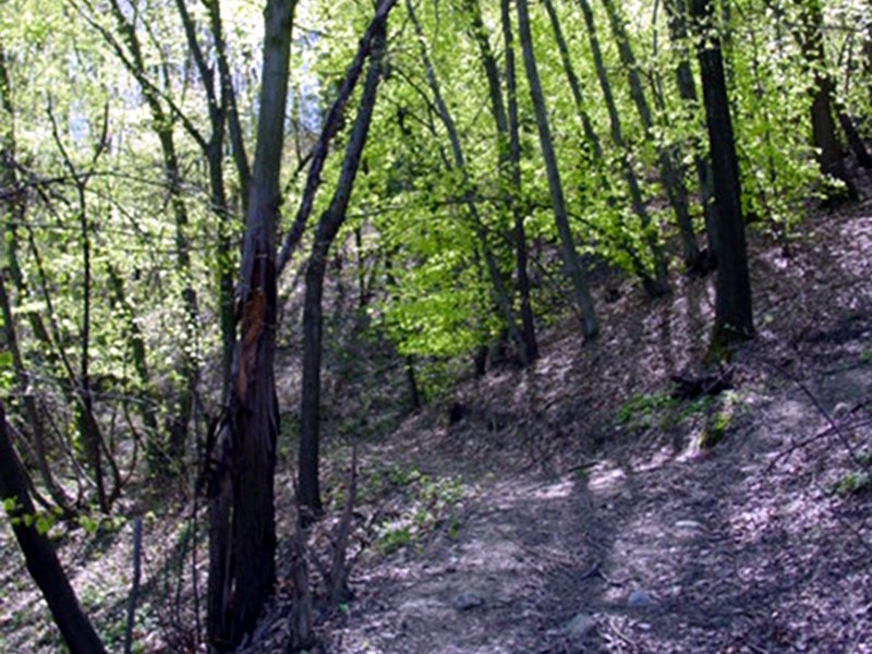
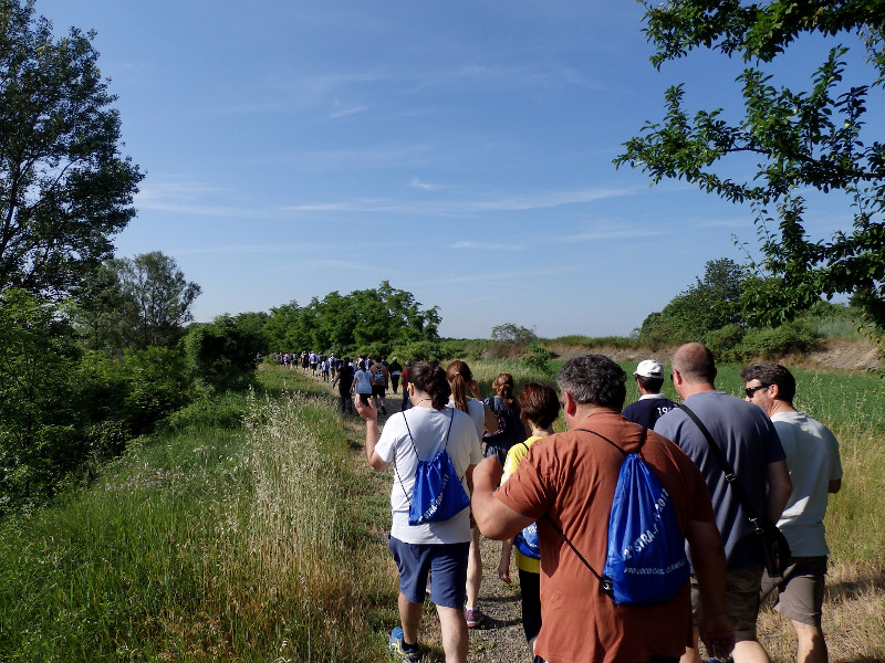

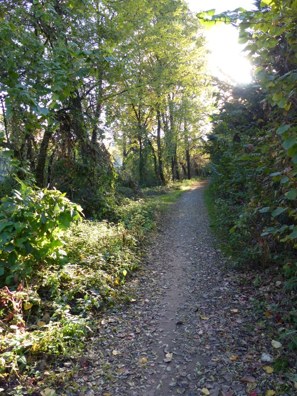
Walking itineraries
Beyond the hiking itineraries, the Park of River Po and of Collina Torinese and its touristic area "Collina Po"
Here below you could find 3 walking itineraries, situated in the area between Le Vallere Park-Reserve (in Moncalieri) and the Valentino Park (in Turin).
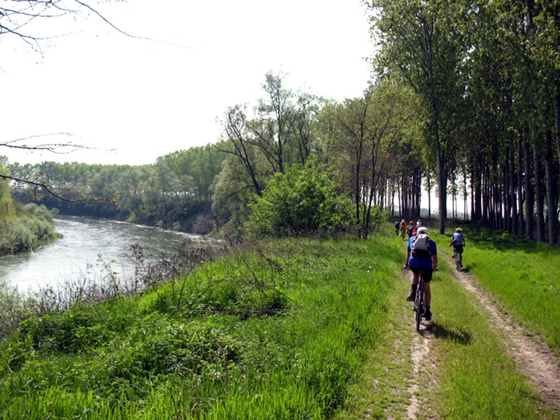
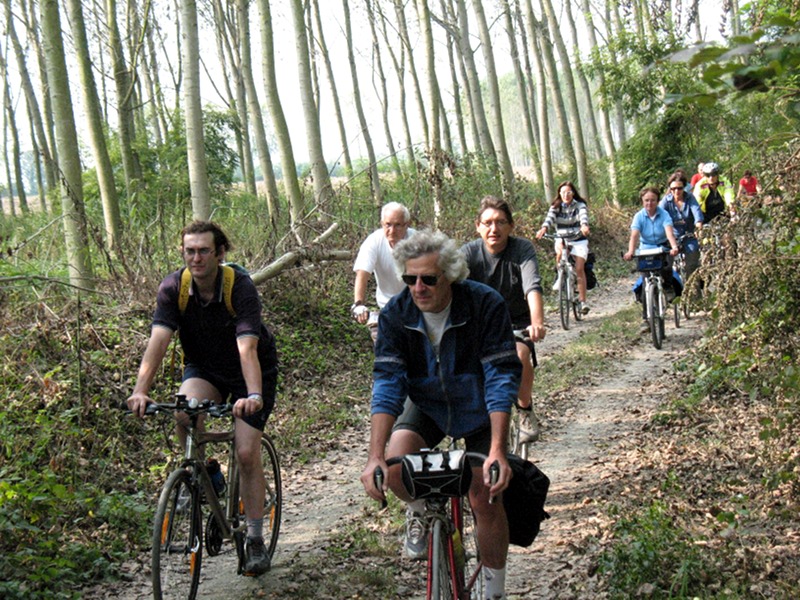
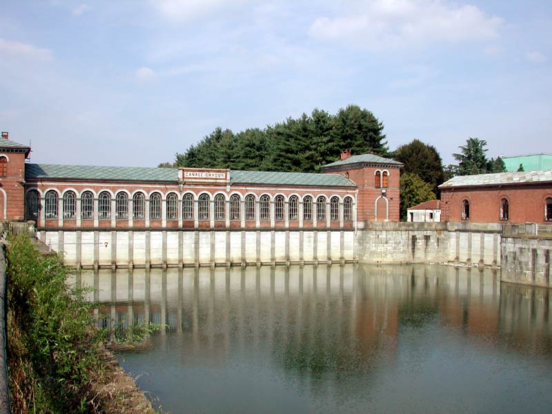
Itineraries by Bike
The cycle itineraries in the stretch of the Po Park in Turin do not develop in segregated cycle facilities, but use mixed tracks with motor vehicles. These tracks can be both dirt roads, in the countryside, and asphalt roads where no alternative track has been found.
Further information (Italian text)
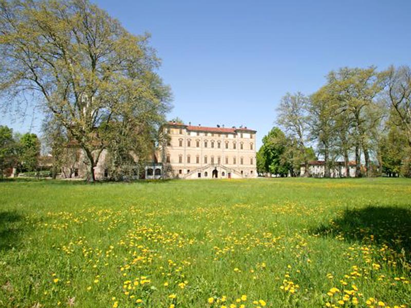

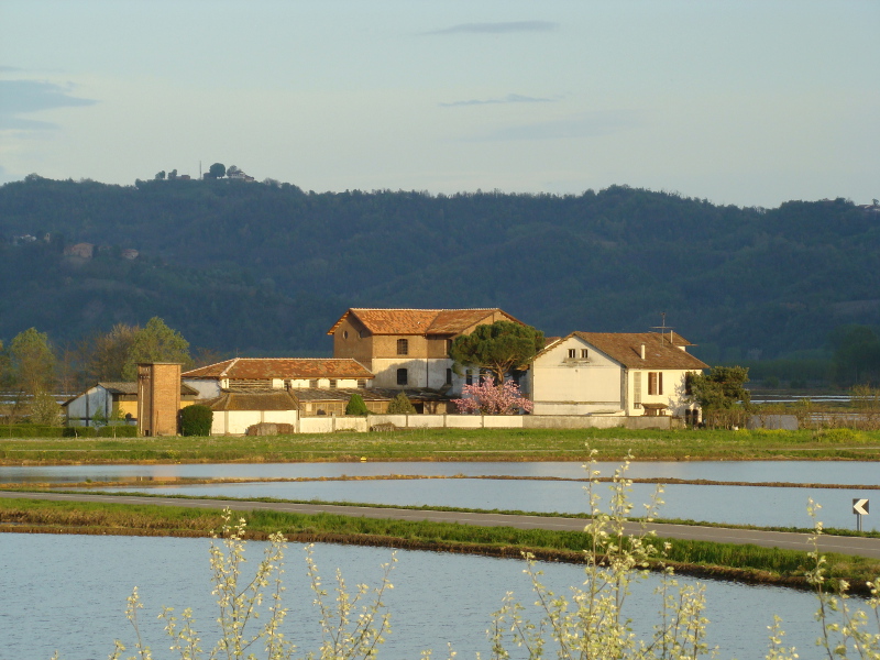
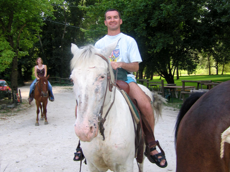
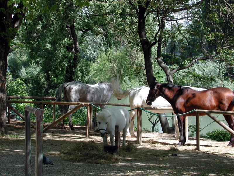
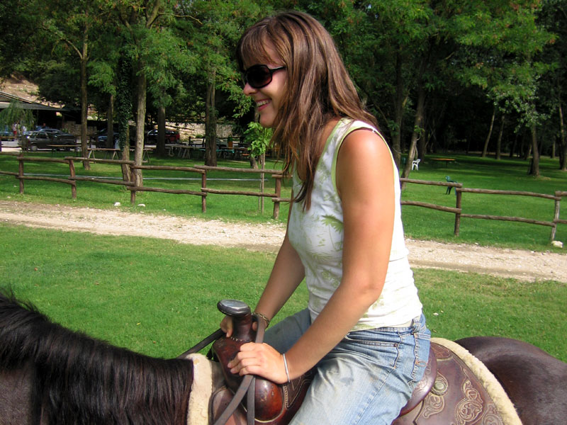
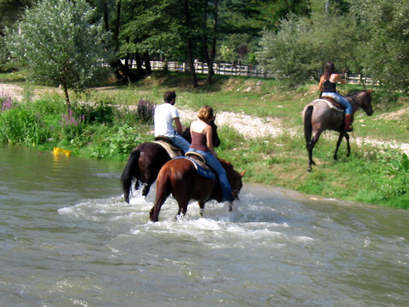
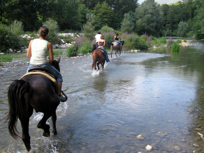
Itineraries on Horseback
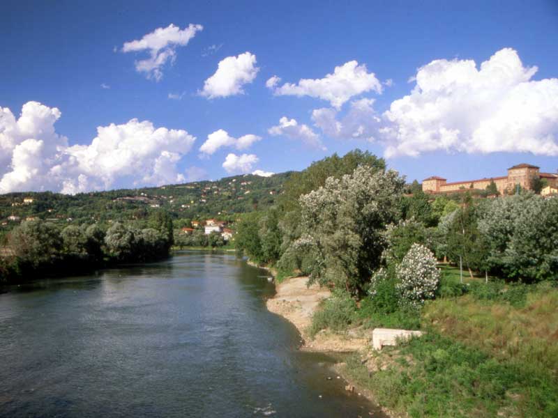
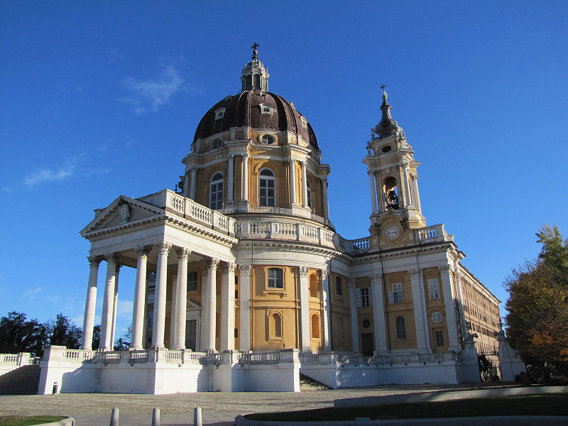
The Park Authority has signed an agreement with the horse riding tourist association "Il Cavalcavalli". Thanks to this agreement, an itinerary entirely accessible on horseback, called "Ippovia del Parco" (The Park Horse Riding Trail) has been created. The itinerary develops for over 150 km and crosses the whole stretch of the Po River Park in the area of Turin, from Racconigi to Crescentino. The Park Horse Riding Trail develops between the river and the hill along banks, dirt trails, or narrow asphalt roads. The Park Horse Riding Trail also gives the opportunity to cross the town of Turin on horseback, offering wonderful views on parks, castles, artistic and historical evidences. You can go along the Park Horse Riding Trail alone or in small groups, if you want to carry out a long trekking in more laps.
The Park Horse Riding Trail in the Province of Turin is described here divided into 4 laps, each about 40 km long.
Further information (Italian text)
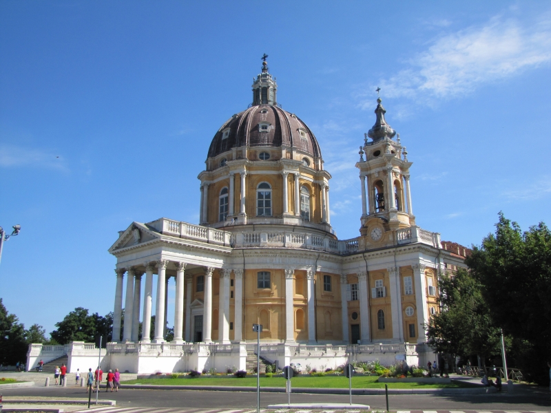
Tourist Itineraries
In these pages you will find advice and information to create new itineraries to discover the Po River Park and the territory of Po Confluenze Nordovest, grouped according to the kind of activity. Moreover, if you would like to spend some time in our territory or have a meal in one of the many local restaurants, discovering the many cooking specialties and the local products, you can have a look at our lists in the page Where to Sleep.
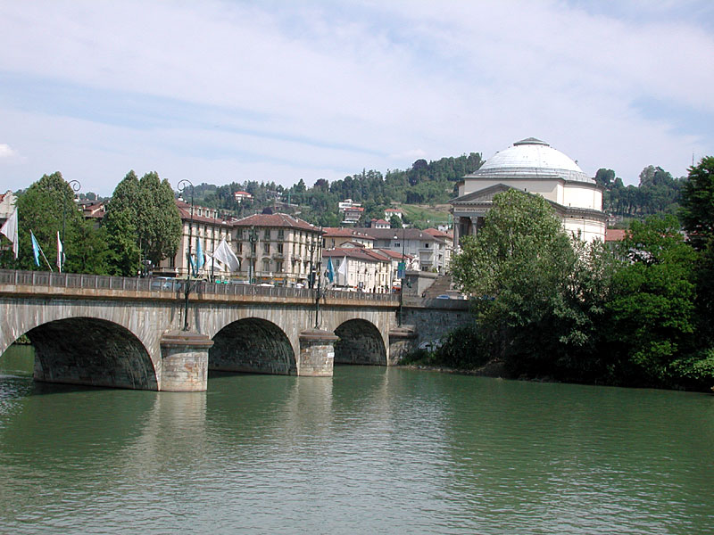
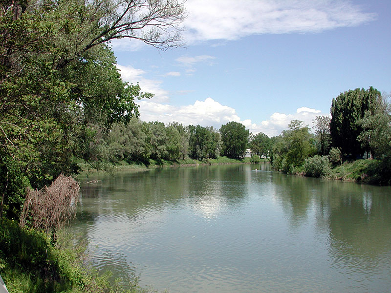
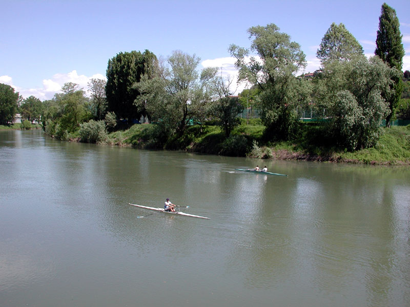
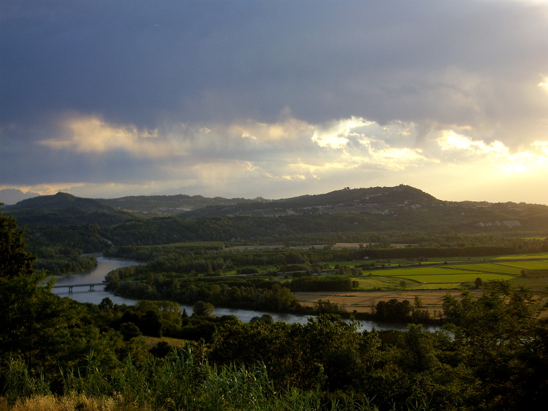
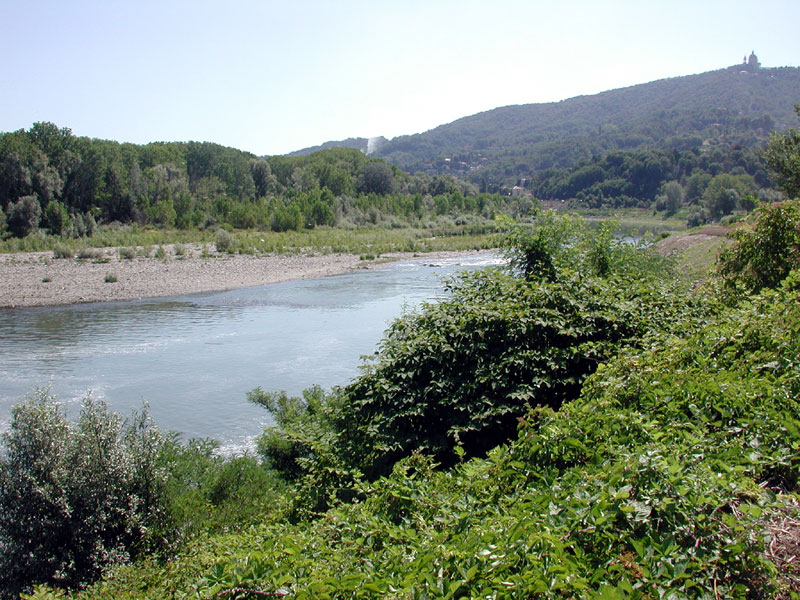
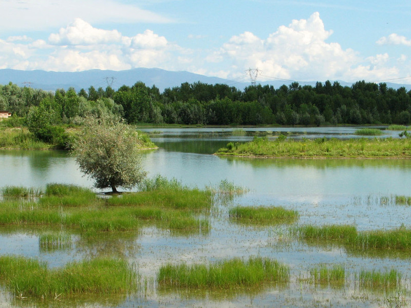
Itineraries by Canoe
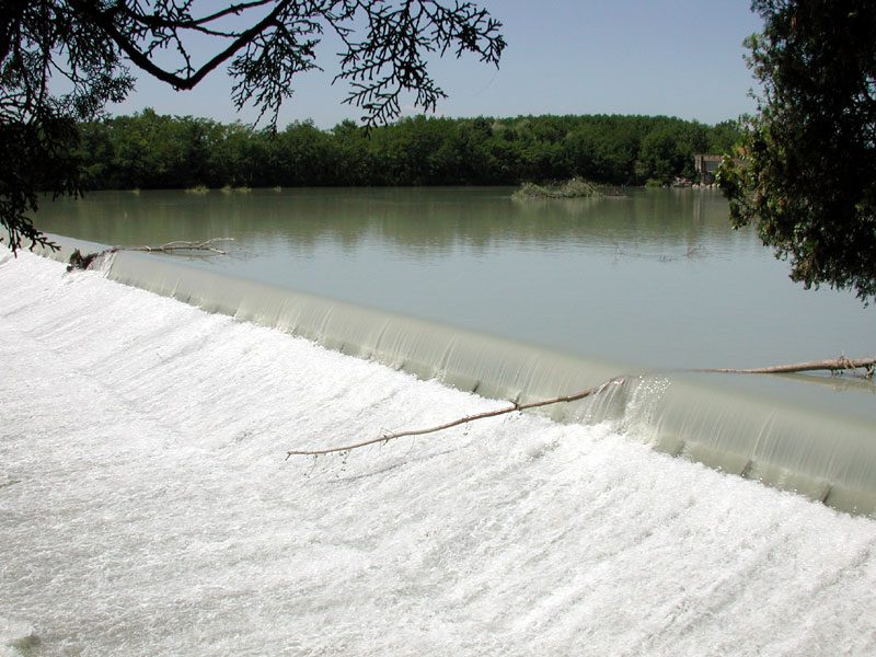
Free Navigation and Prohibitions
In the waters of the rivers Po and Dora Baltea, as well as torrents Sangone, Stura di Lanzo, Malone, and Orco, navigation is allowed, considering the following prohibitions:
- along the river Po, in its stretches within the municipal territory of the town of Turin and the town of Moncalieri, navigation with motorboats is not allowed
- along the river Po, in the municipal territory of the town of Turin, in the river stretch between Vittorio Emanuele I Bridge in Turin and the border between the Municipality of San Mauro Torinese and the Municipality of Turin, navigation is not allowed for all means, including boats with no motor
- in the waters of Canali Farini, Scaricatore, Depretis, and Ceresa di Saluggia, navigation is allowed only for the members of the Canoa Club Saluggia.
Reference rules on navigation, in force in 2007: regional rules 2/96.
Further information (Italian text)